Renjola La 5360m Gokyo Ri 5450m, and Cho Oyu BC Photos
November 22, 2022
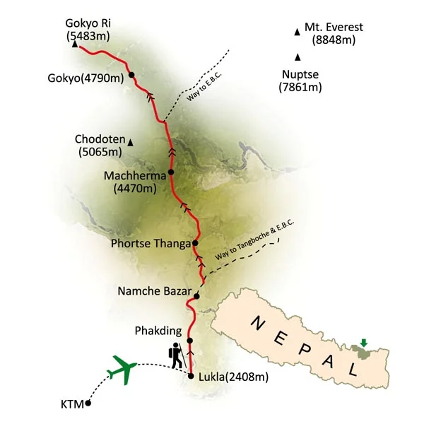
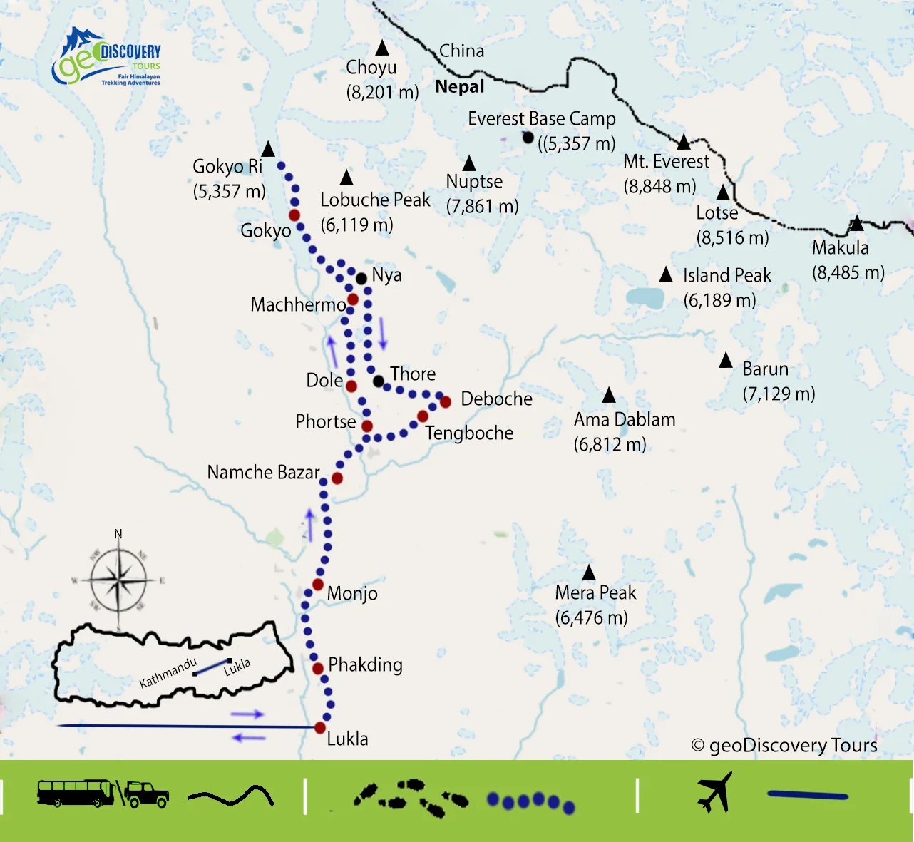


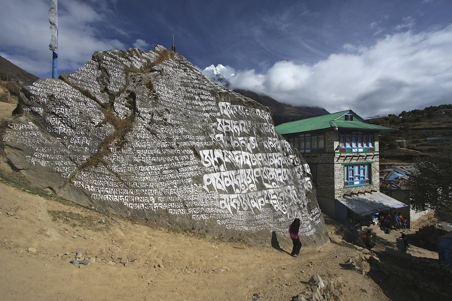

This post is from 2010 and 2022 trips. In 2010 we went to the Gokyo Valley via the Renjo La Pass after crossing Teshi Labtsa Pass, continued on to the Cho Oyu South base camp and walked all the way back to Lukla. In 2022, we also went to Cho Oyu BC, Gokyo Ri and continued on to Cho La Pass, Lobuche East Peak and then out to Lukla via Khumbu Valley. Thanks to Rajendra from Mountain Sun Valley for organizing this trip in 2010 and 2022.
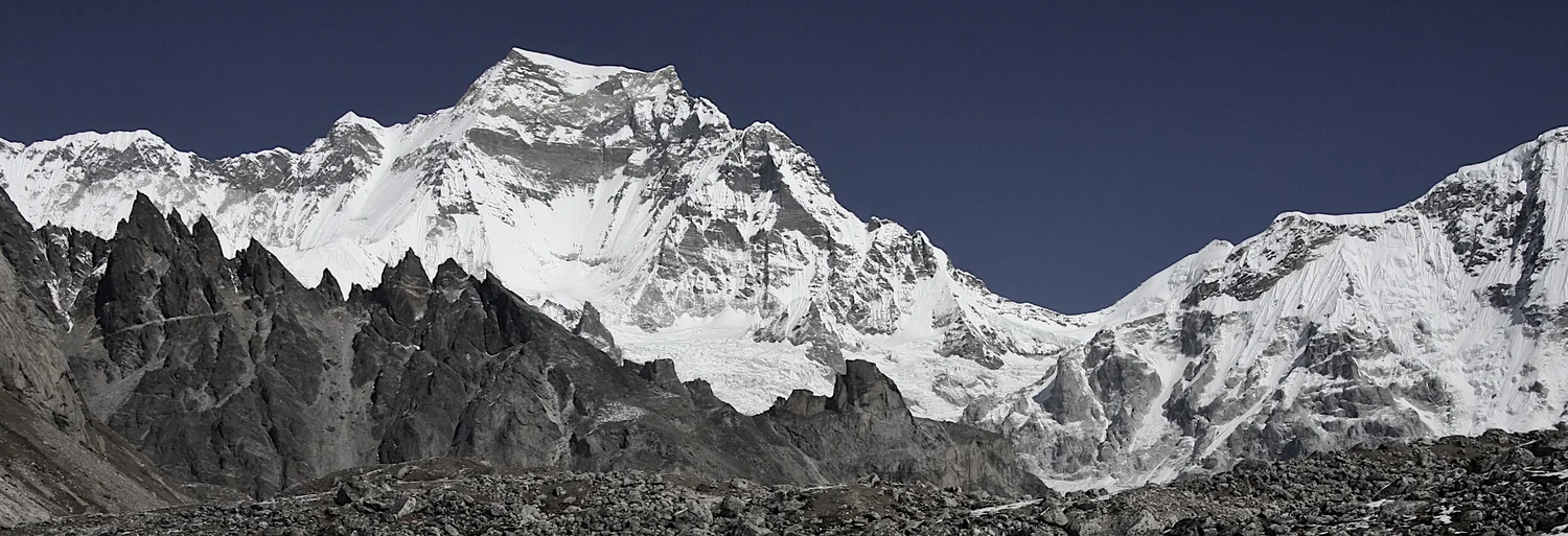
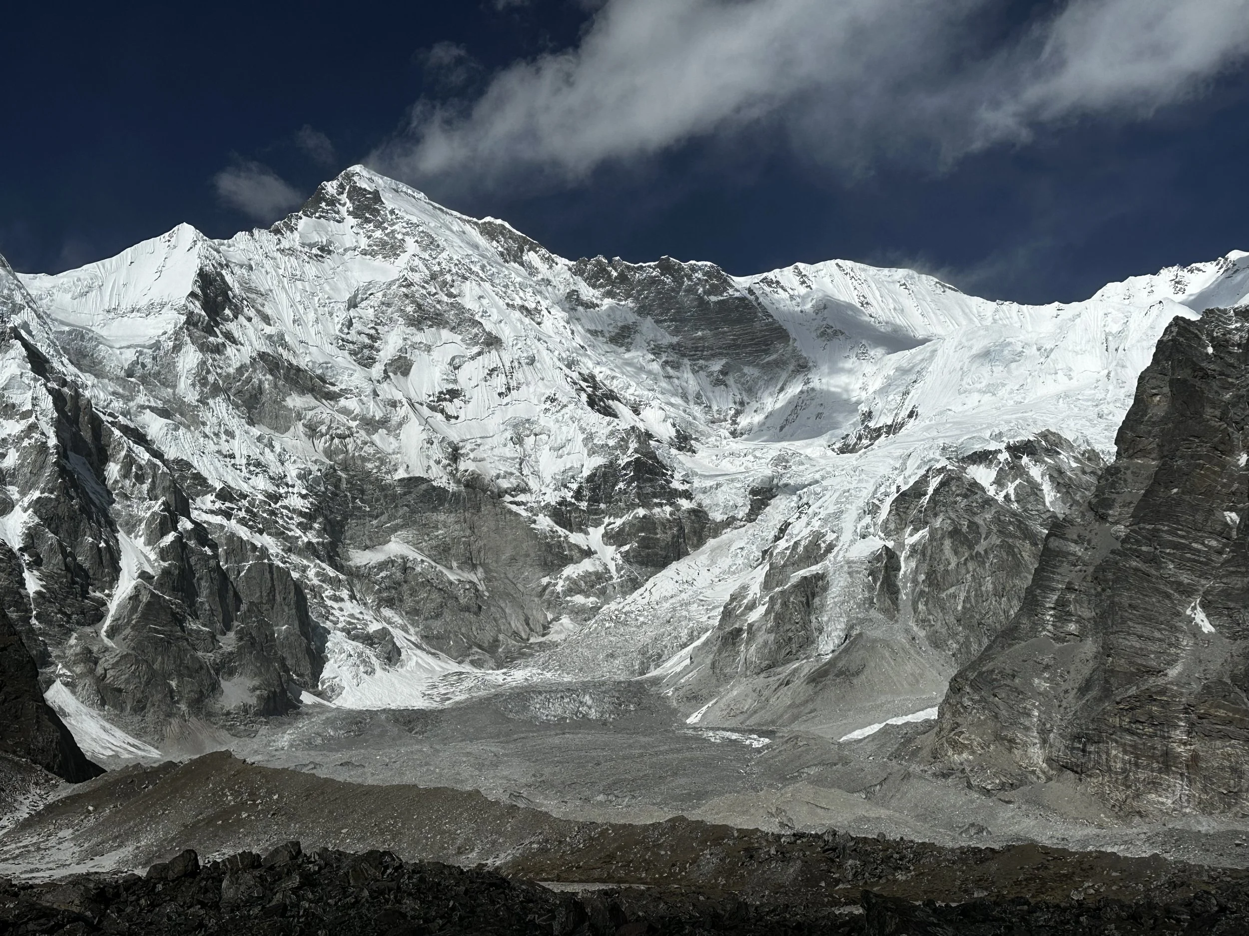
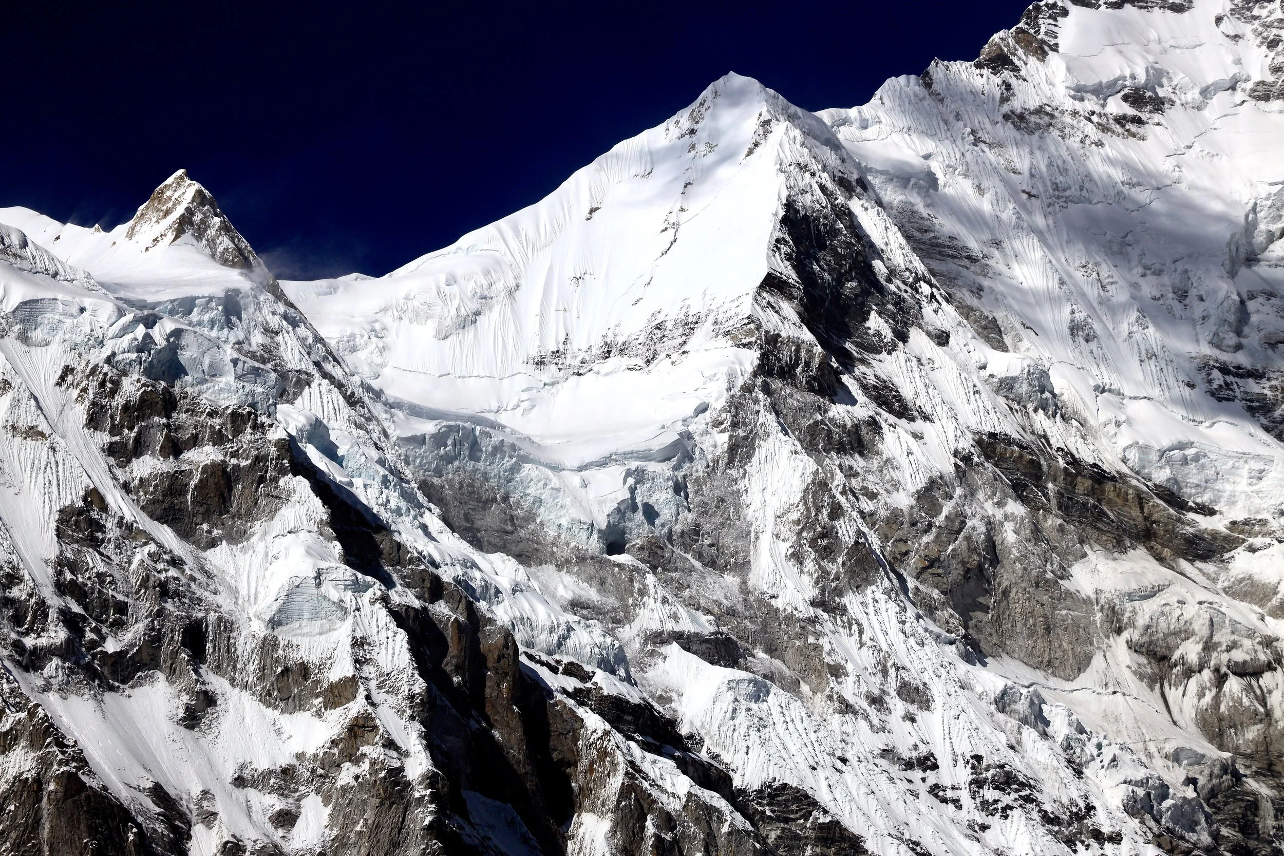
Cho Oyu and Gyachung Kang 7952m
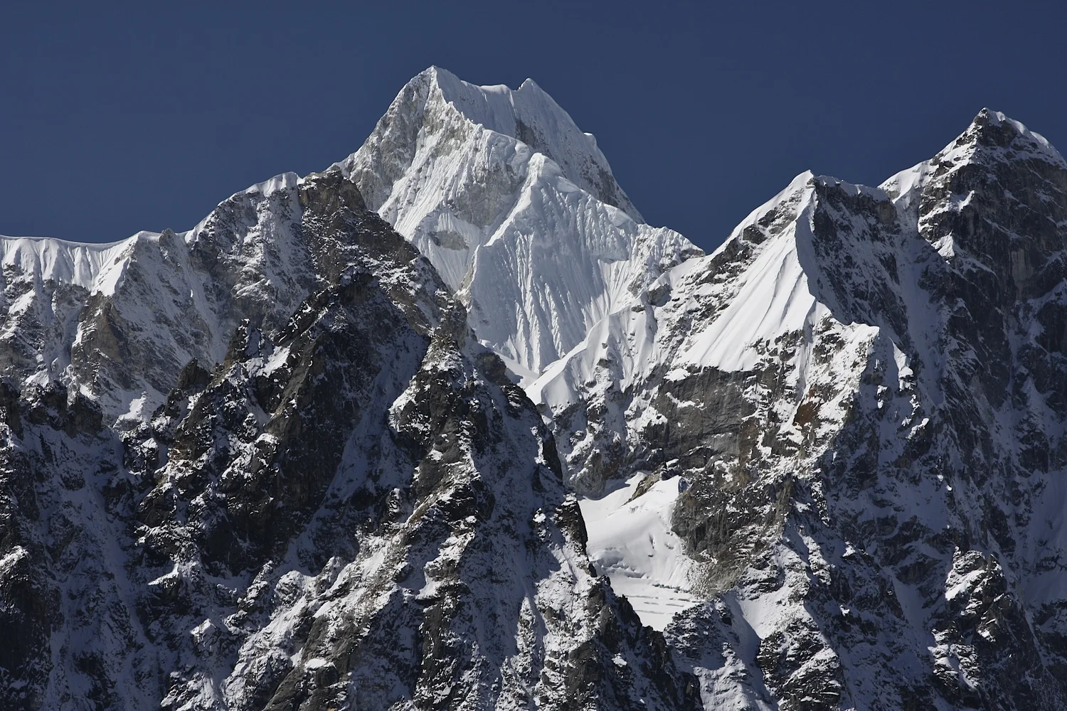
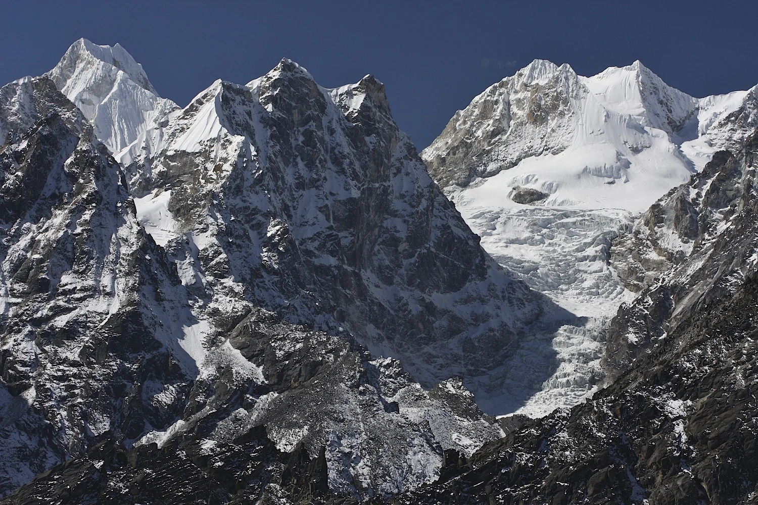
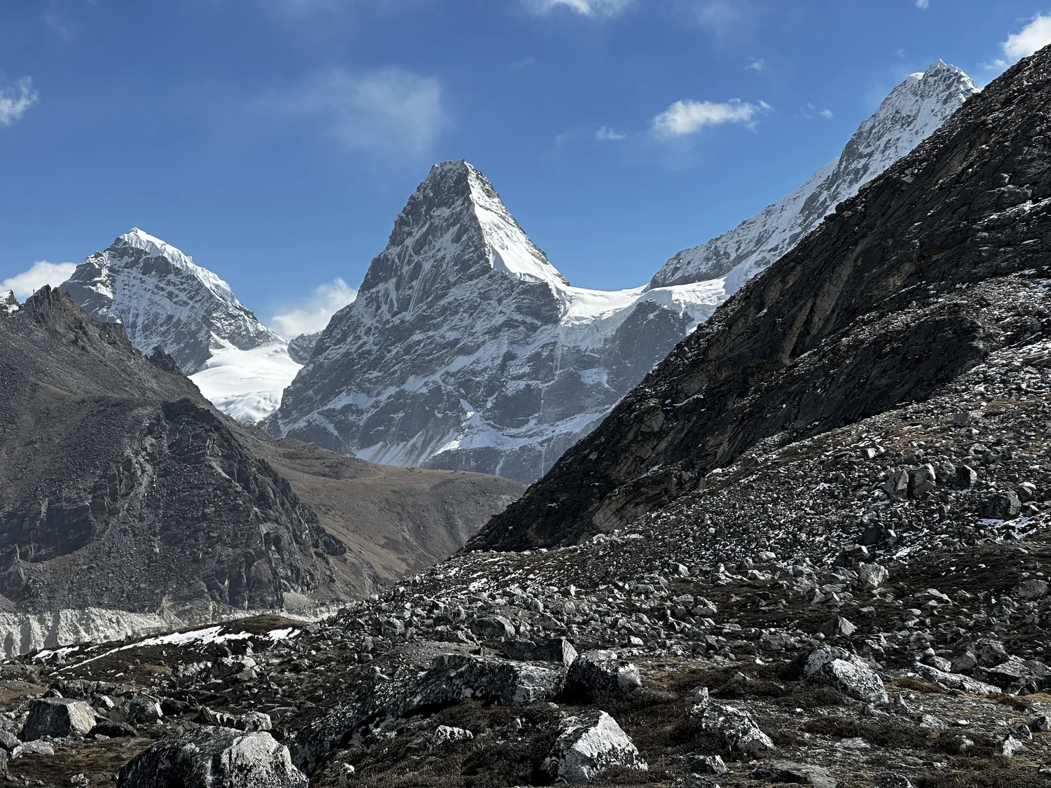
Lunag (left - centre) and Jasemba (right)
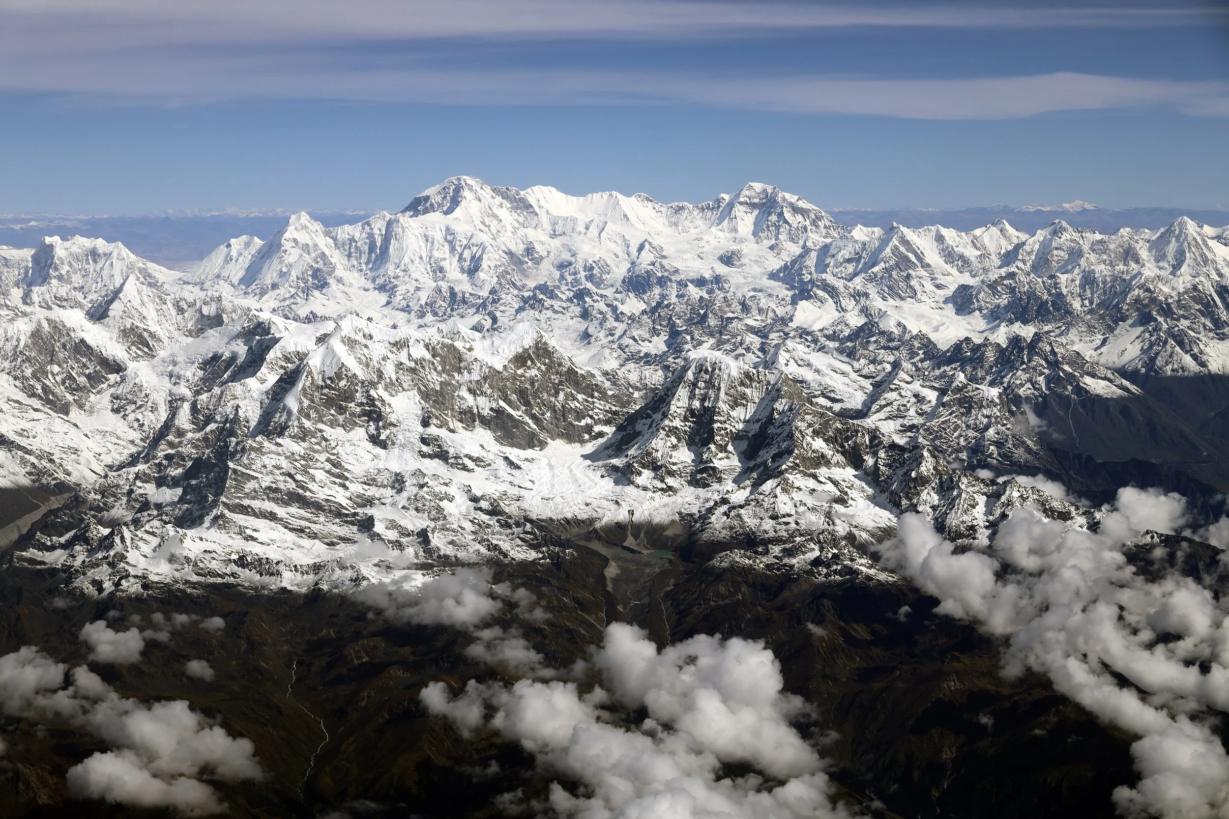
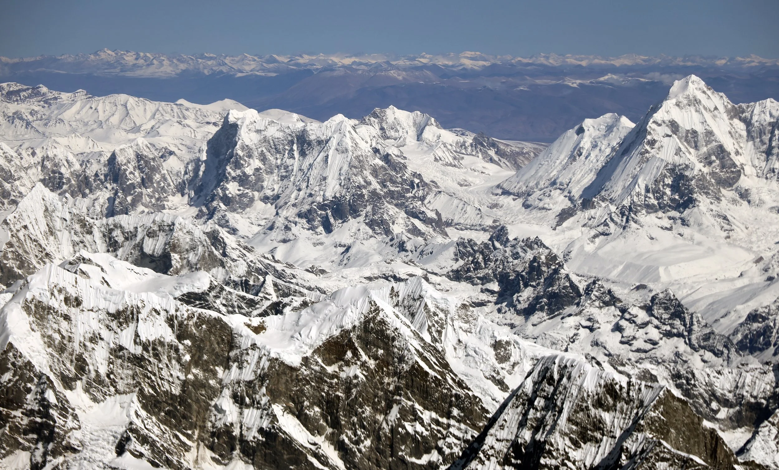
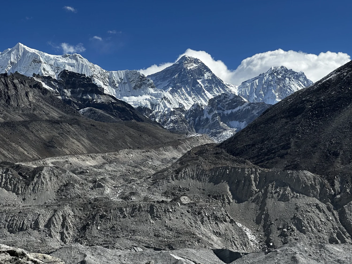
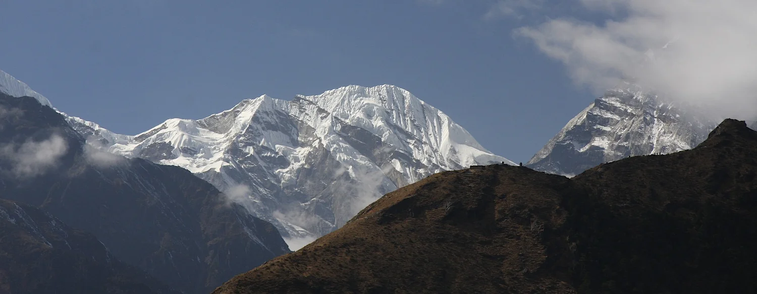
Cho Oyu on the left and Everest on the right. This is the entire Khumbu Area. This post covers the region on the left.
Everest and Lhotse from the Renjo La Pass
Way to the Nangpa La Pass
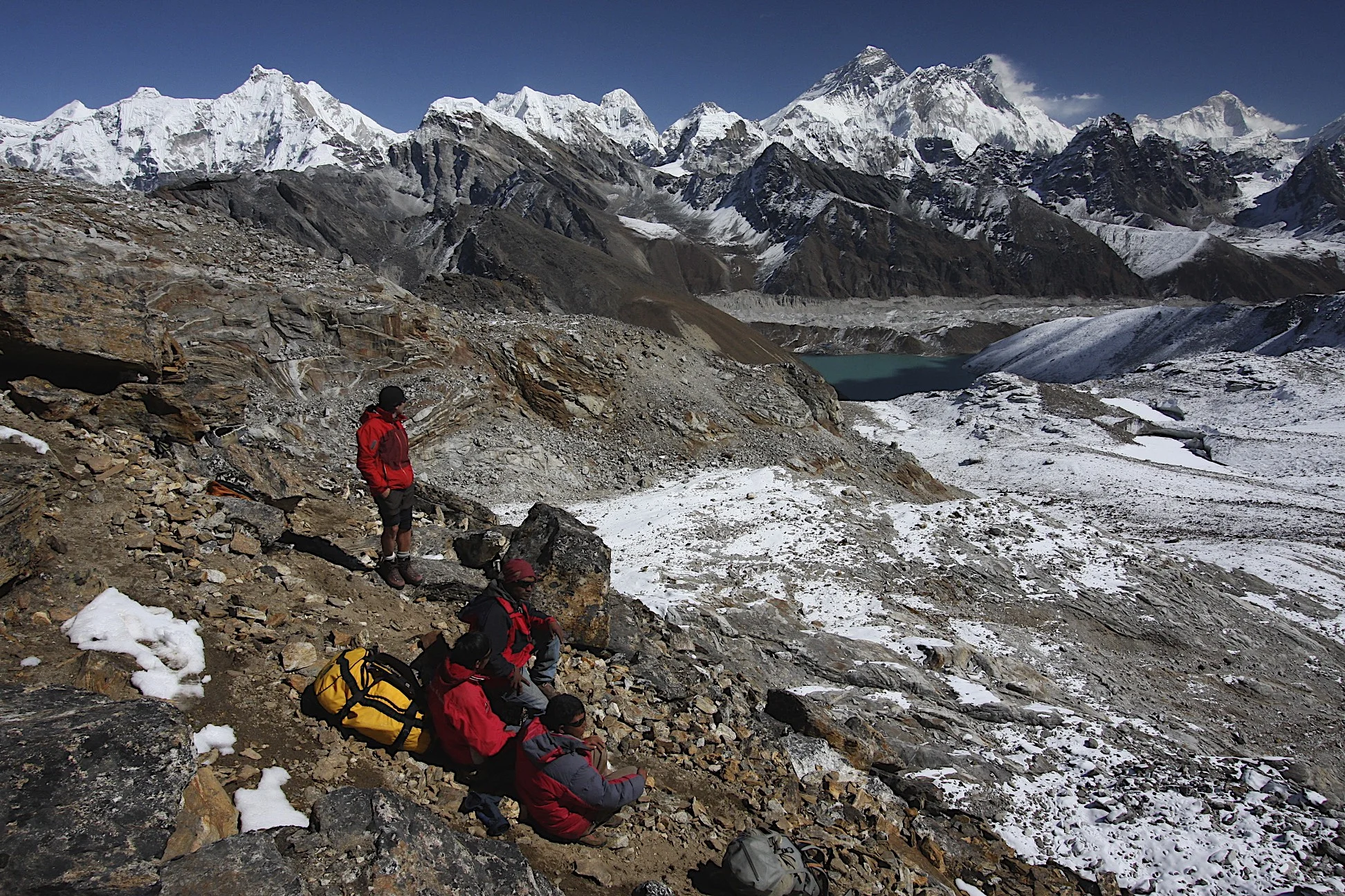
Ascending the Renjo La Pass from the west.
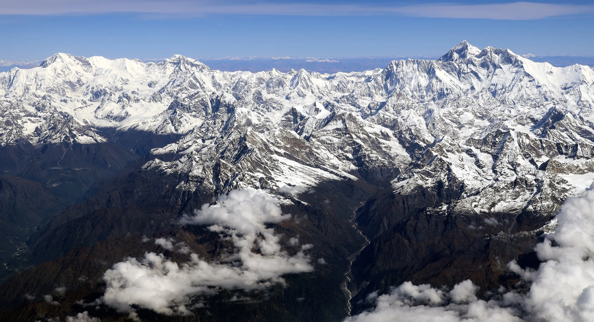
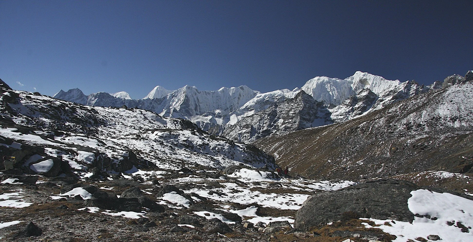
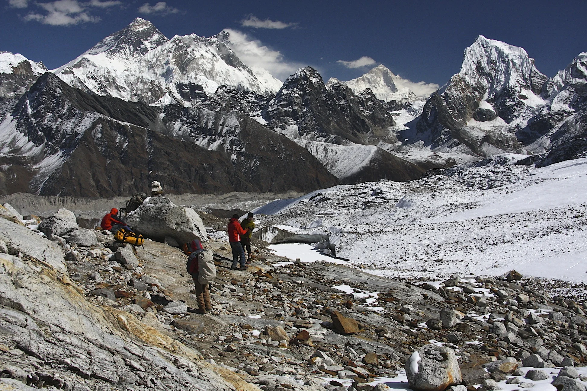
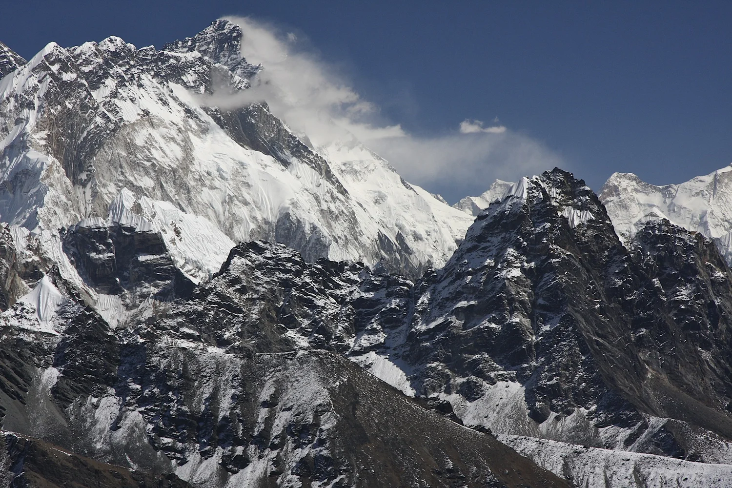
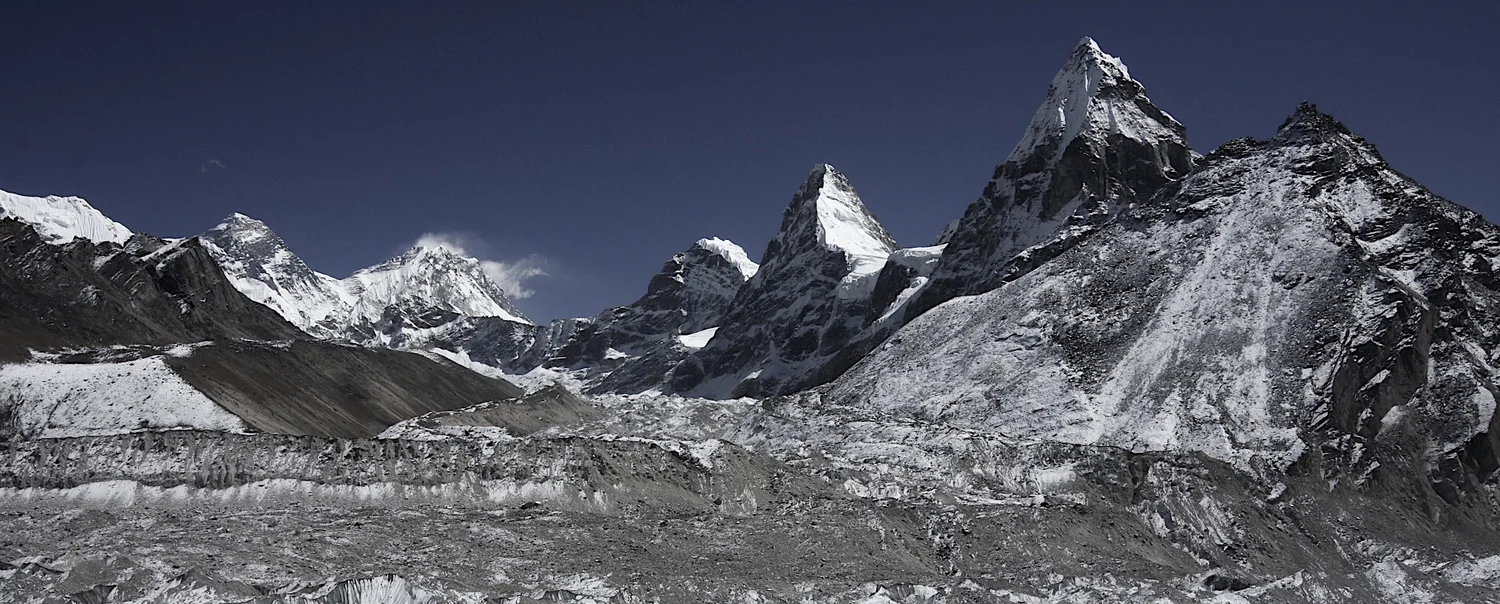
The magnificent panorama from the Renjo La Pass. Mt. Everest, Nuptse and Lhotse dominate the view. On the right, far in the distance is Mt. Makalu.
The view towards Makalu, Cholatse and Chamlang from the Renjo La Pass
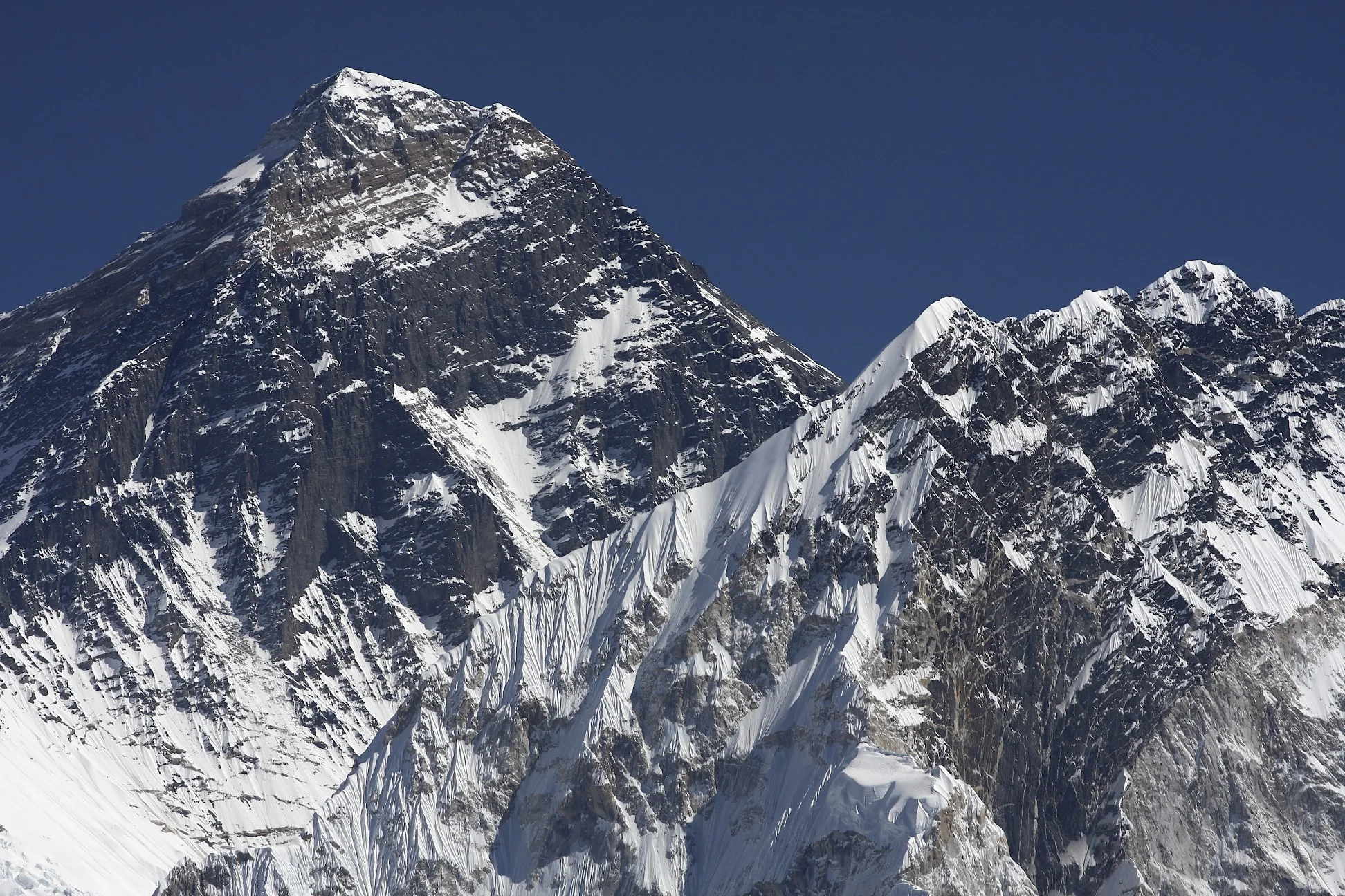
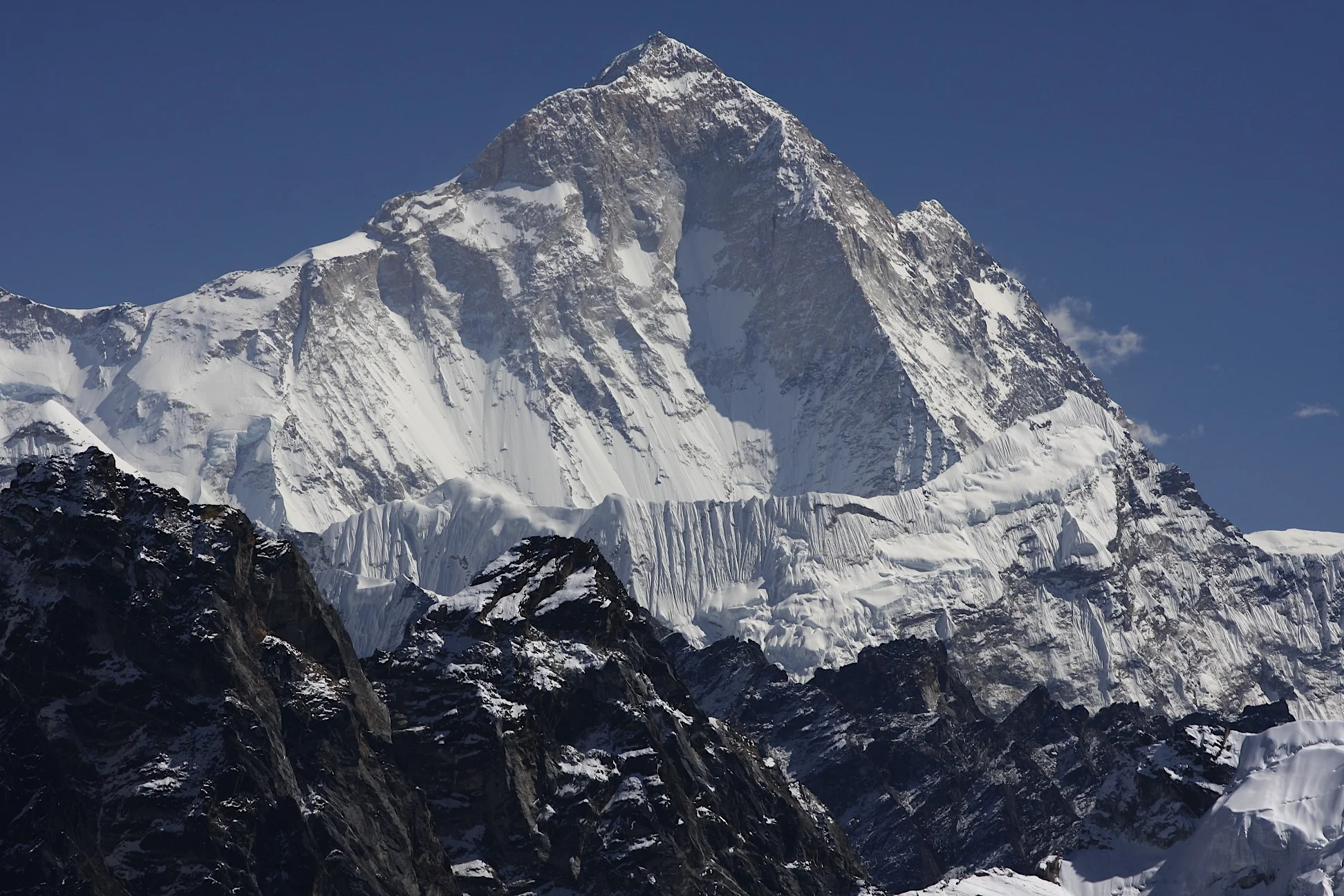
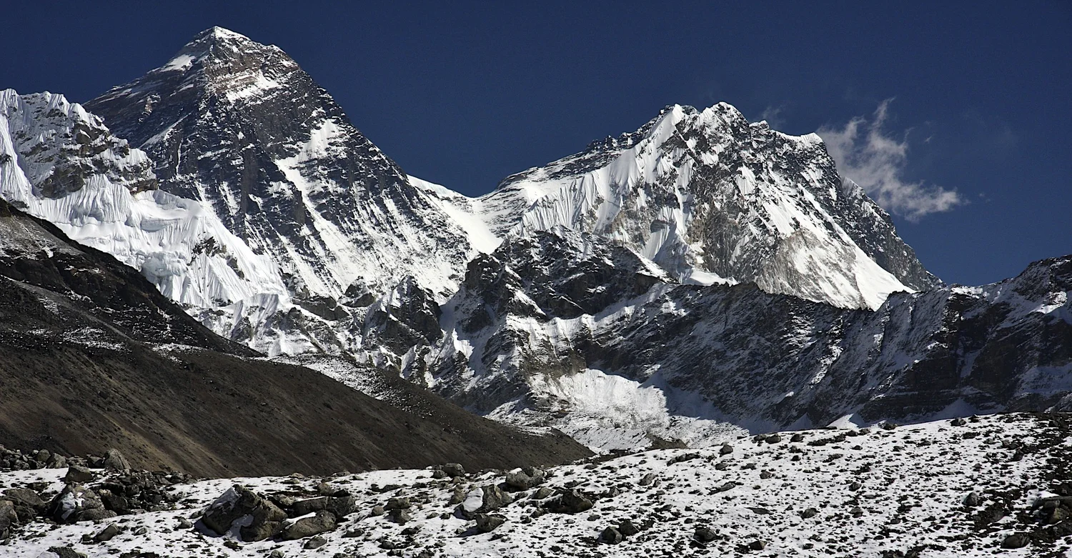
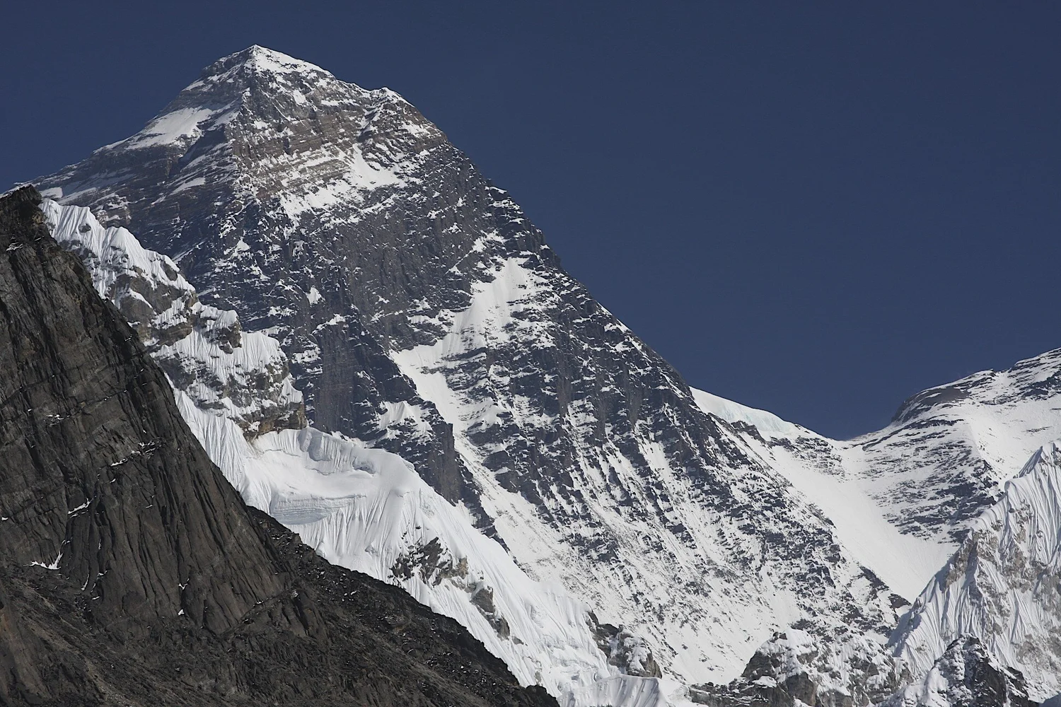
Mt. Everest with South summit clearly visible.
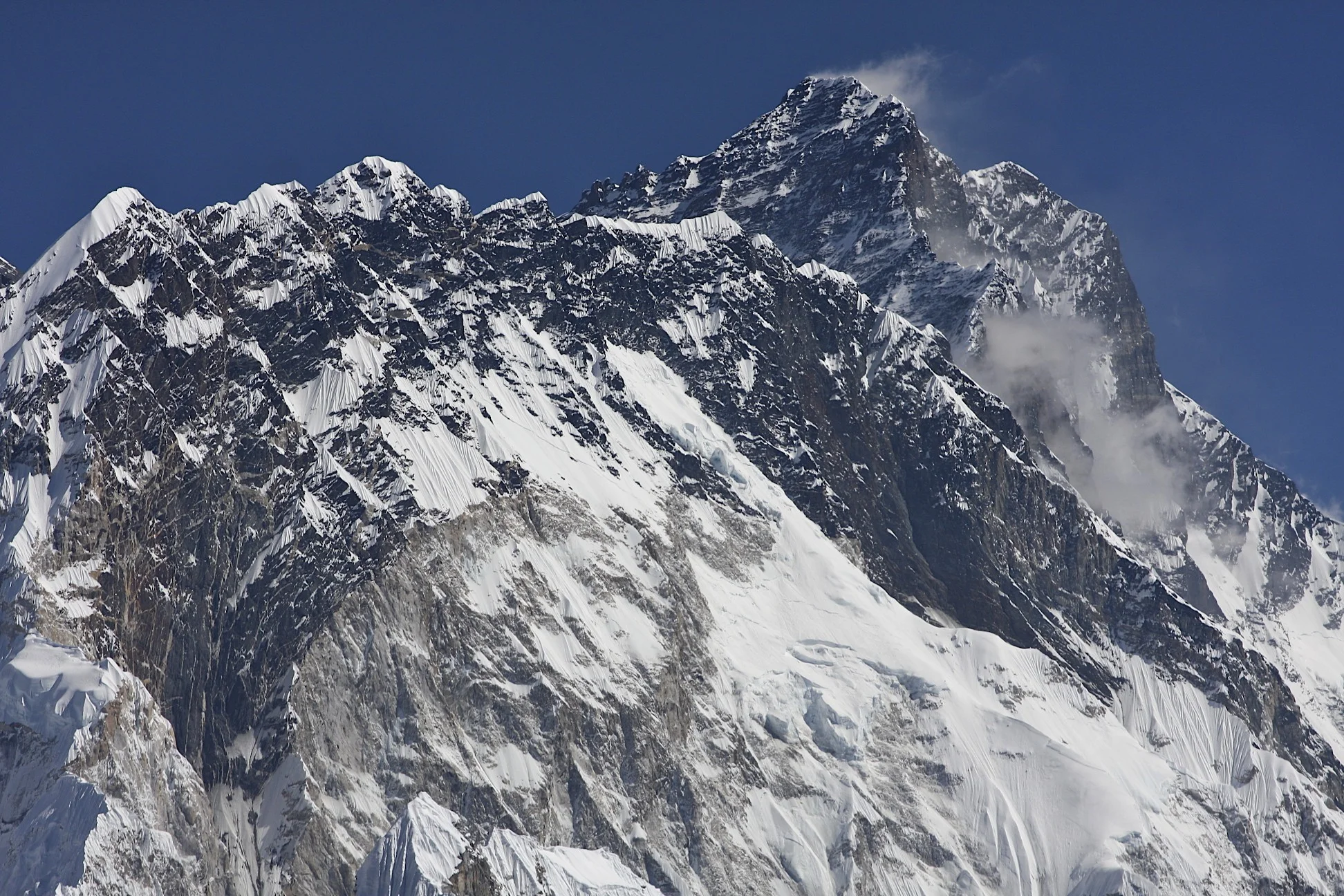
Nuptse and Lhotse
Makalu
Cholatse
Chamlang sticks out from behind the ridge.
North side (Tibet) and north ridge of Mt. Everest
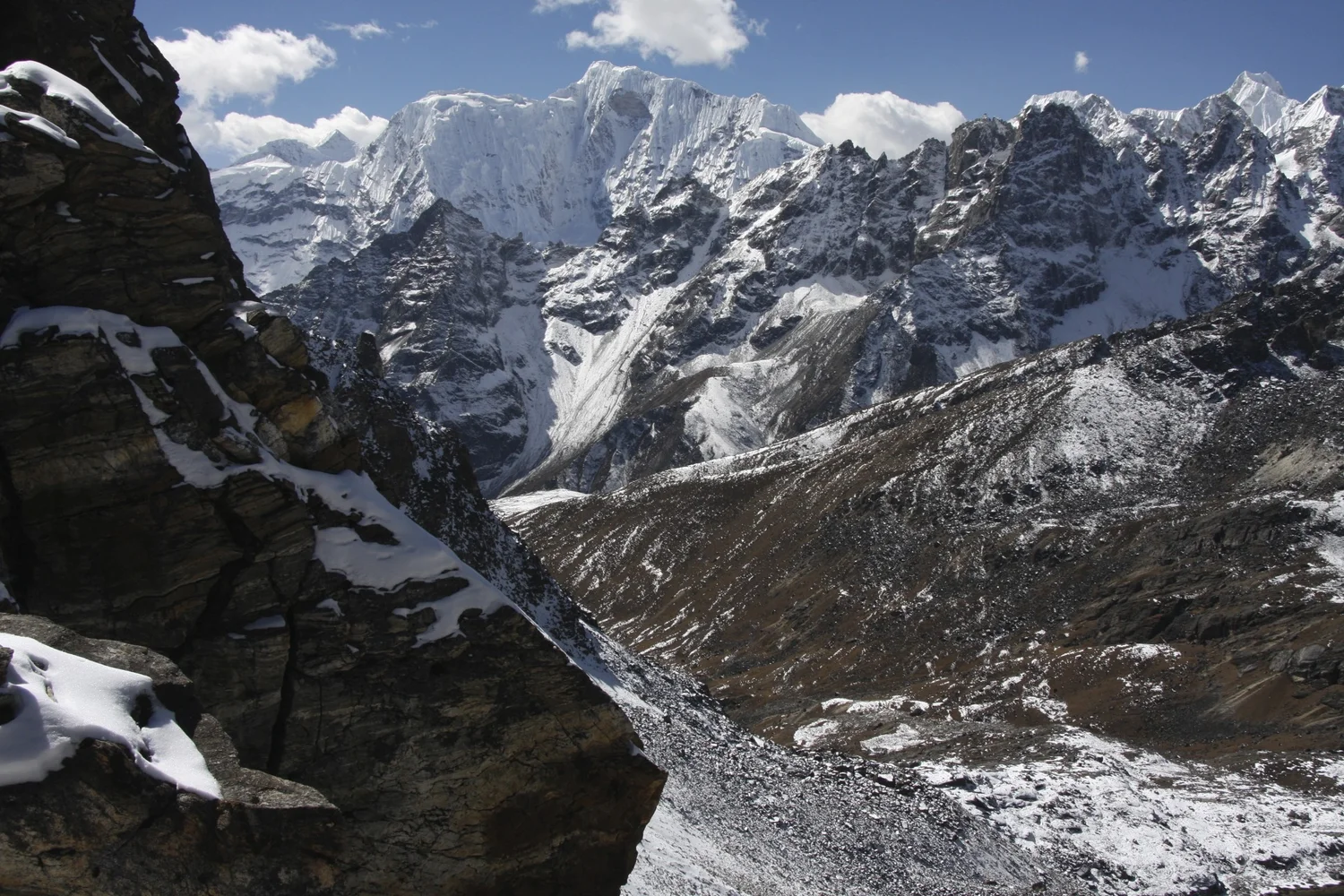
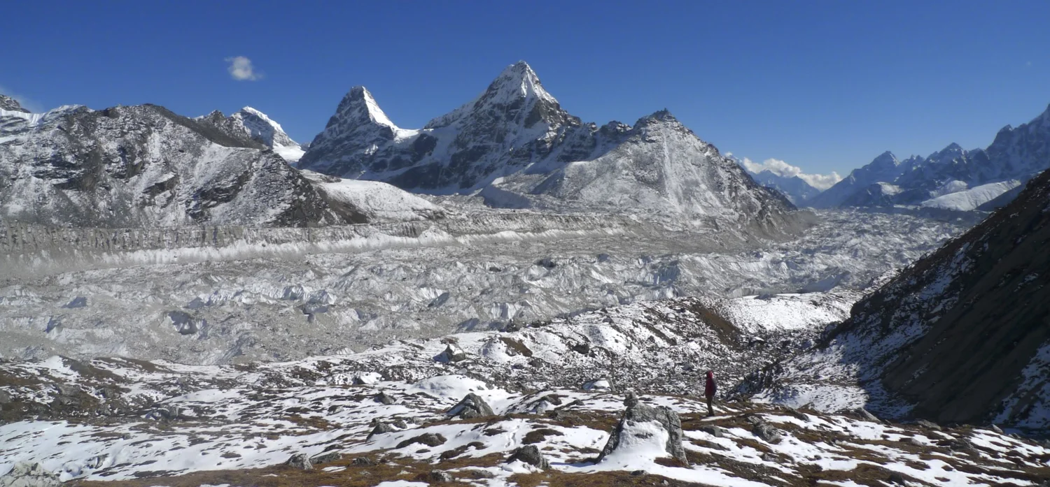
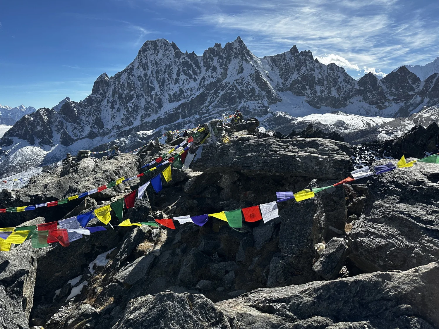
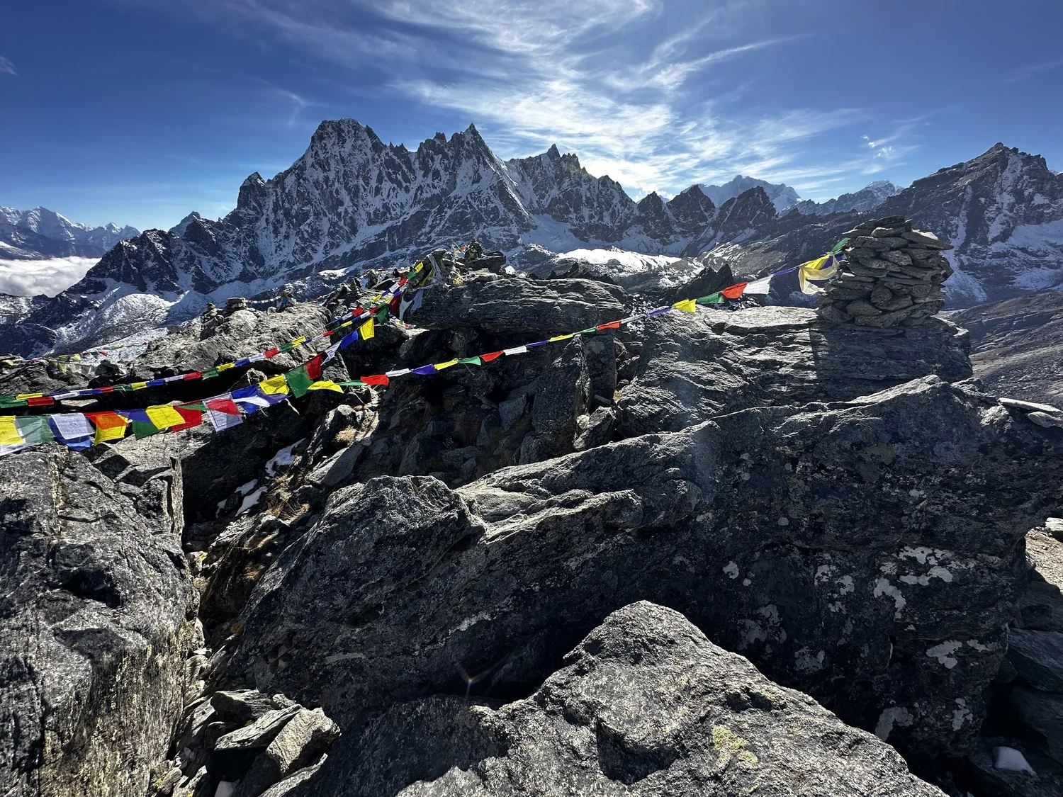
Renjo La Pass
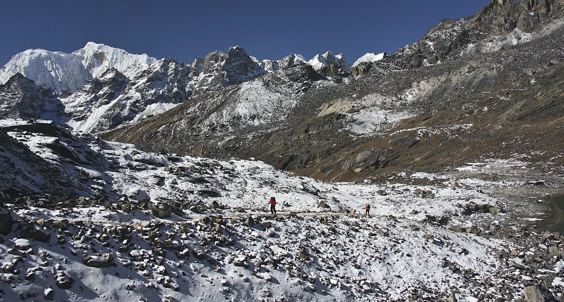
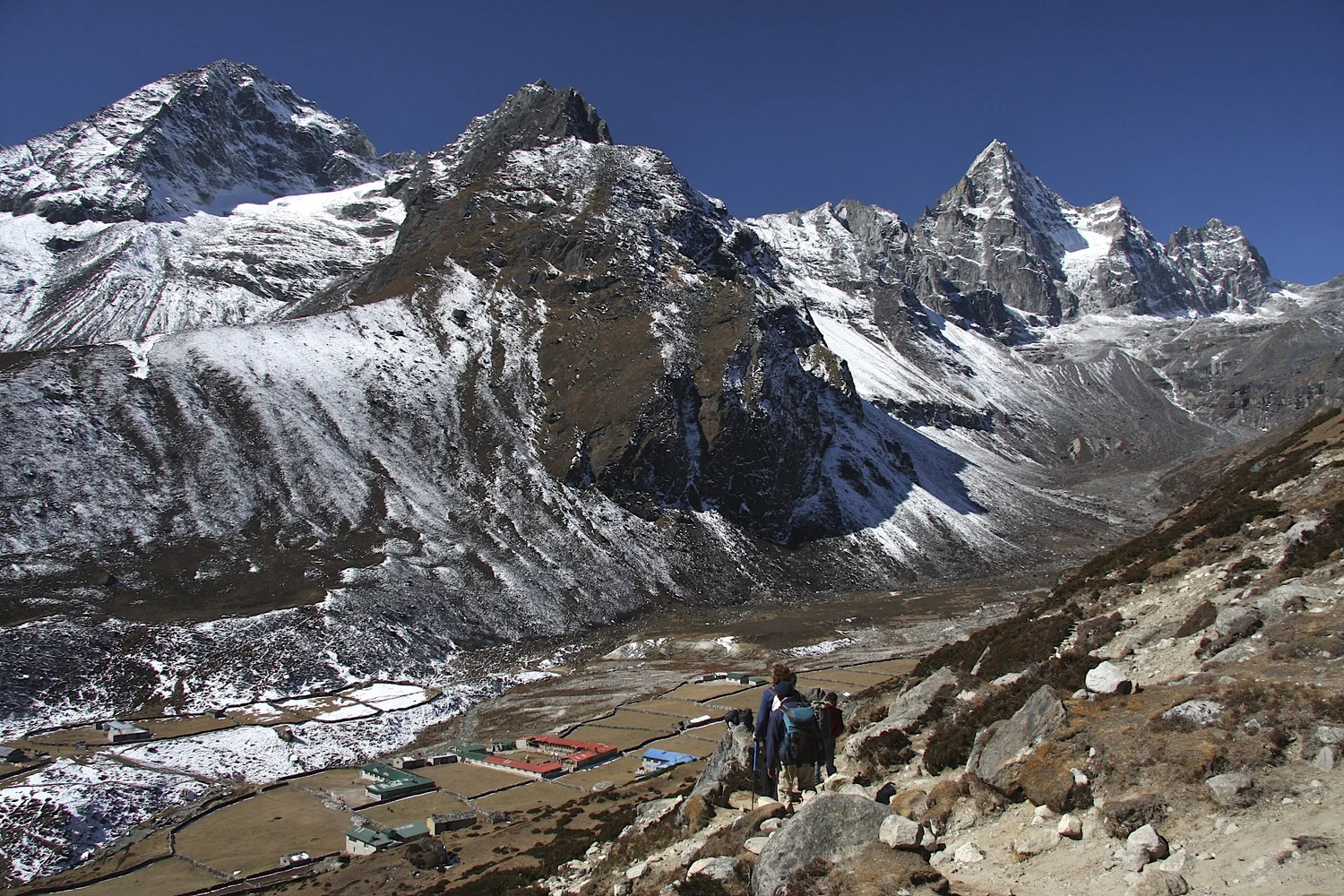
Descend from Renjo La Pass towards Gokyo
View west from Renjo La Pass
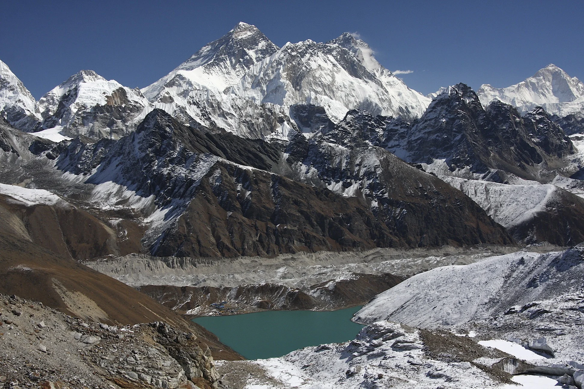
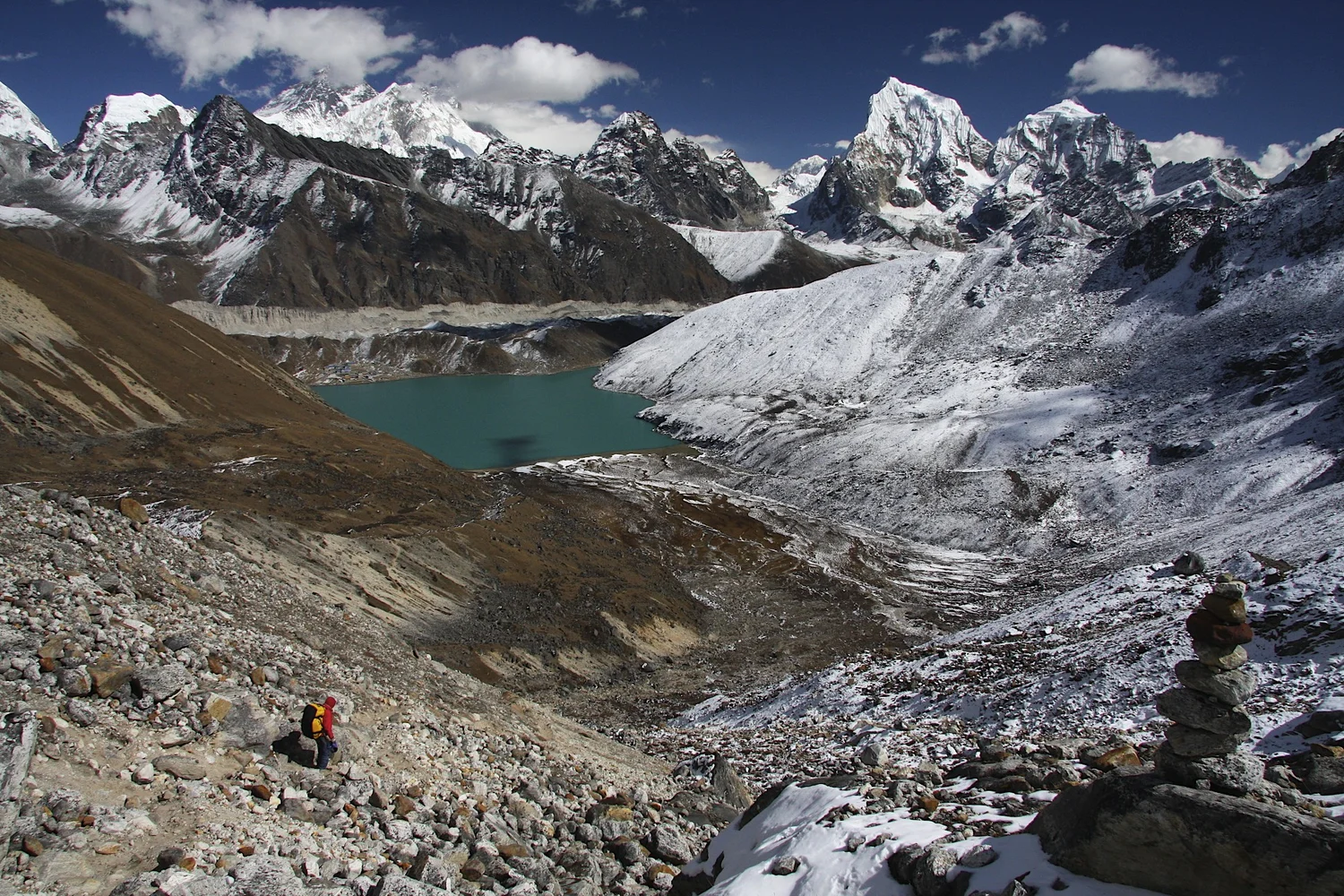
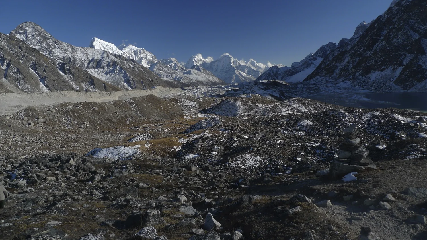
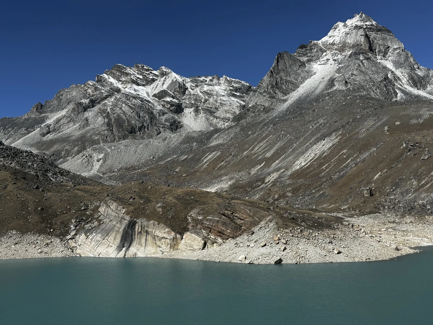
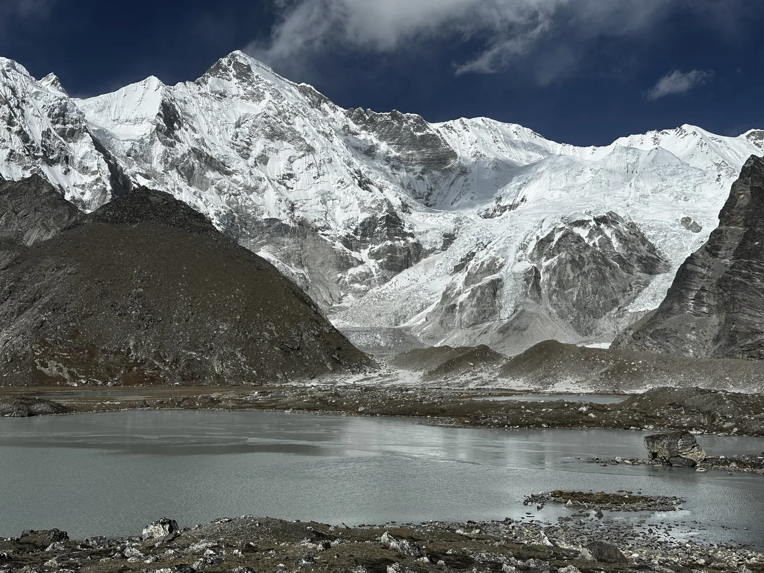
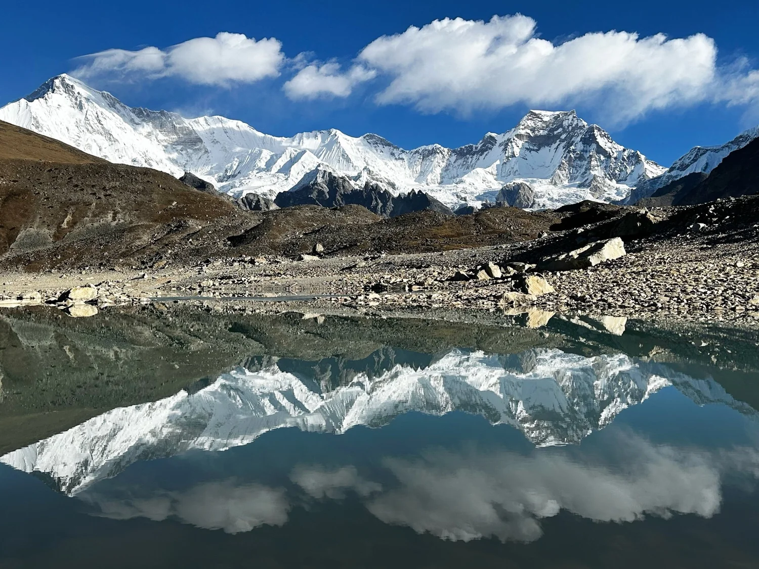
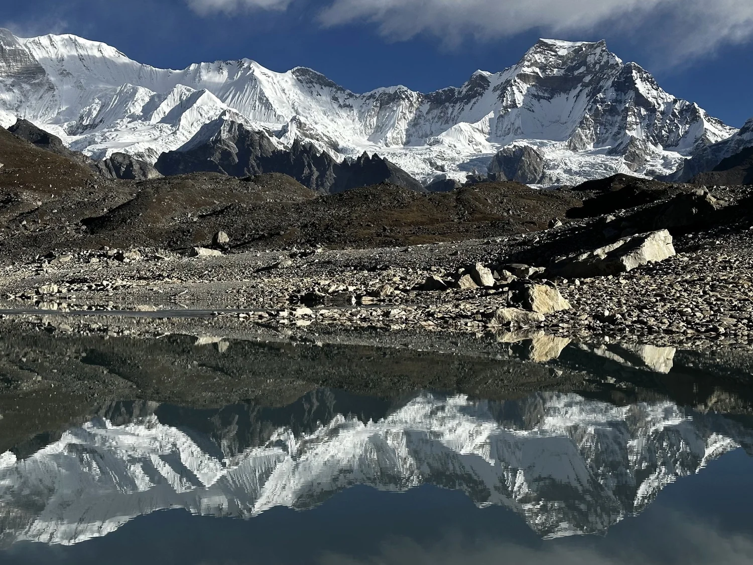
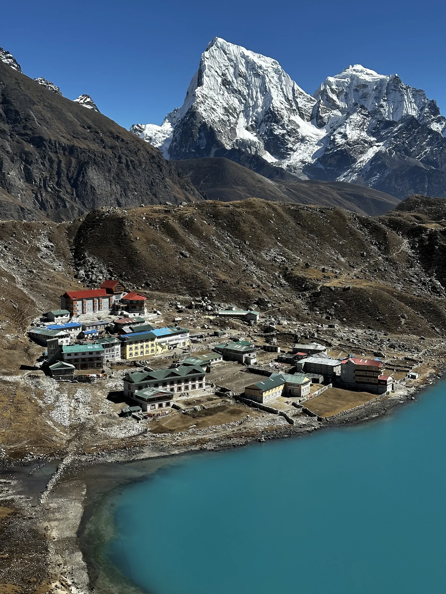
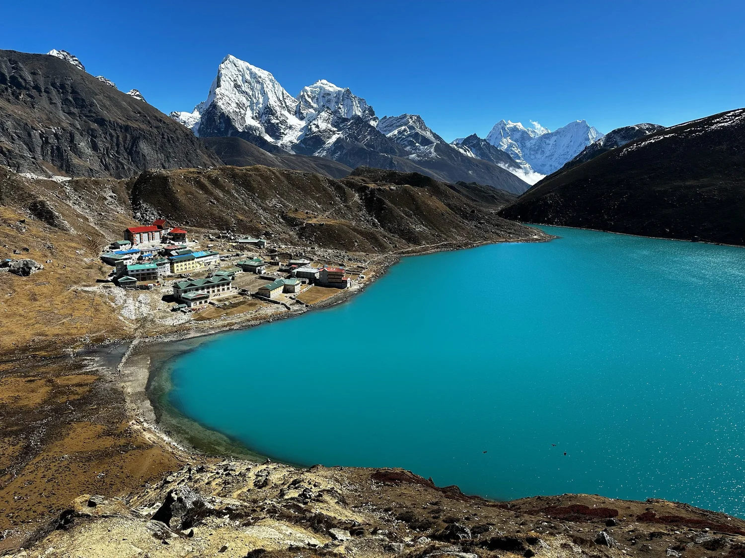
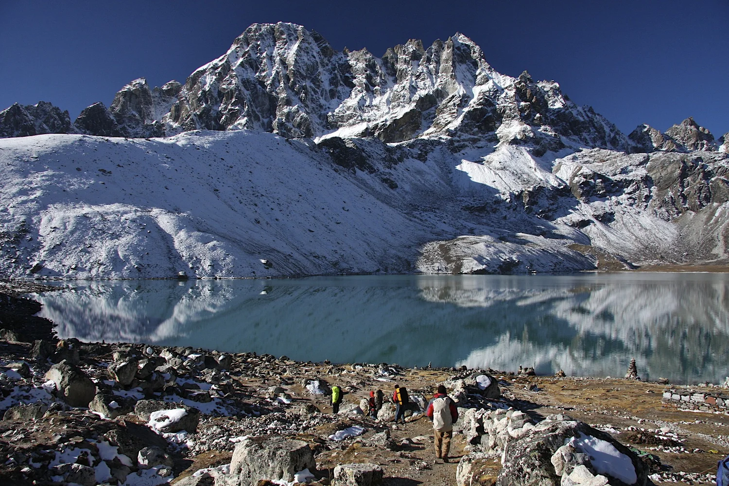
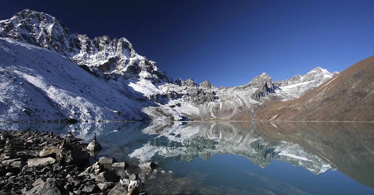
Gokyo Lake and Cho Oyu
Cho Oyu from Gokyo
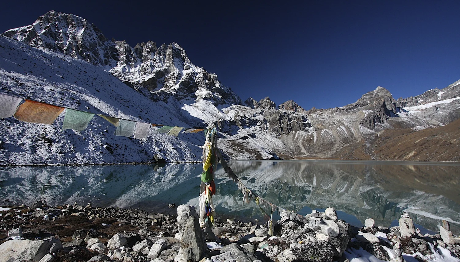
Gokyo
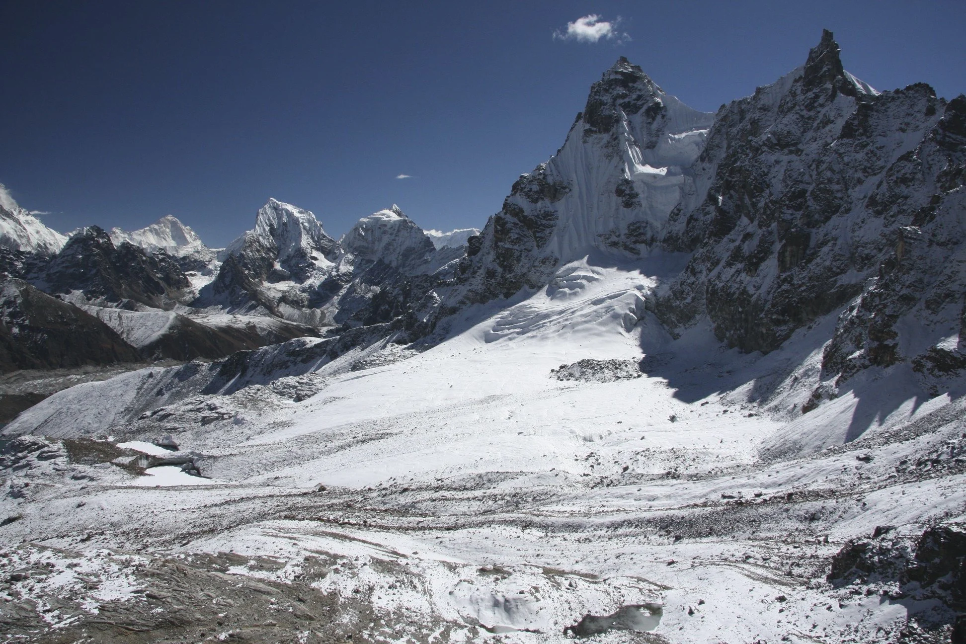
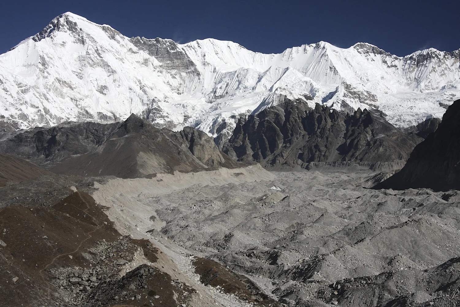
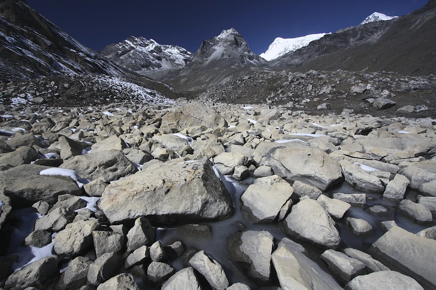
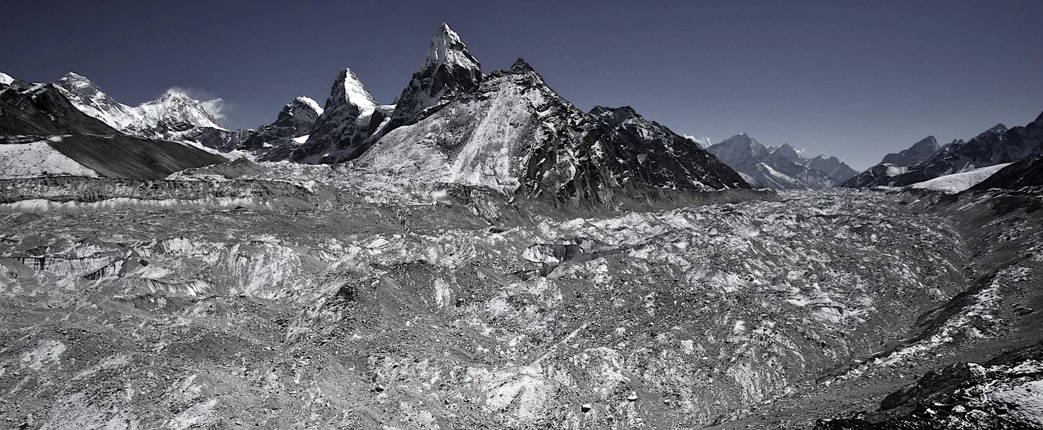
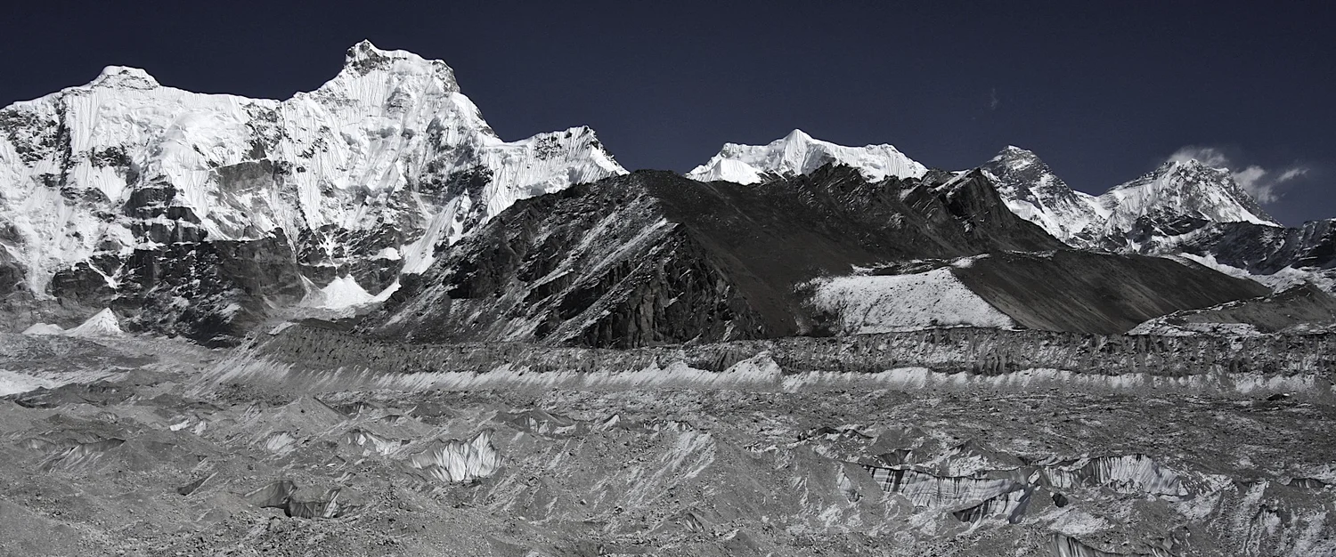
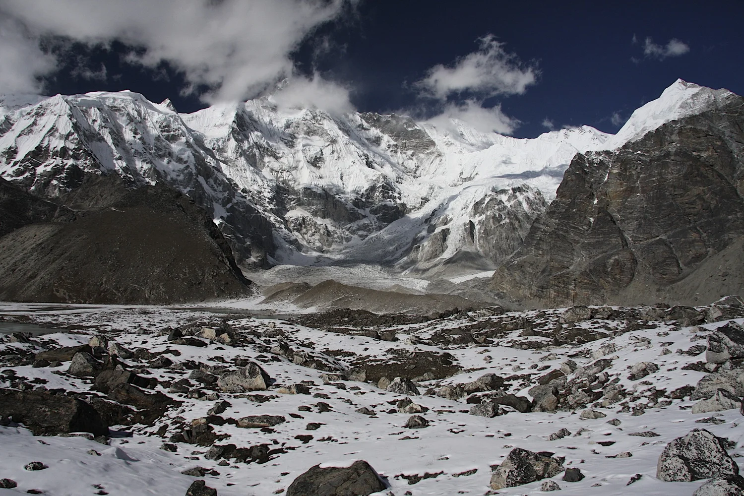
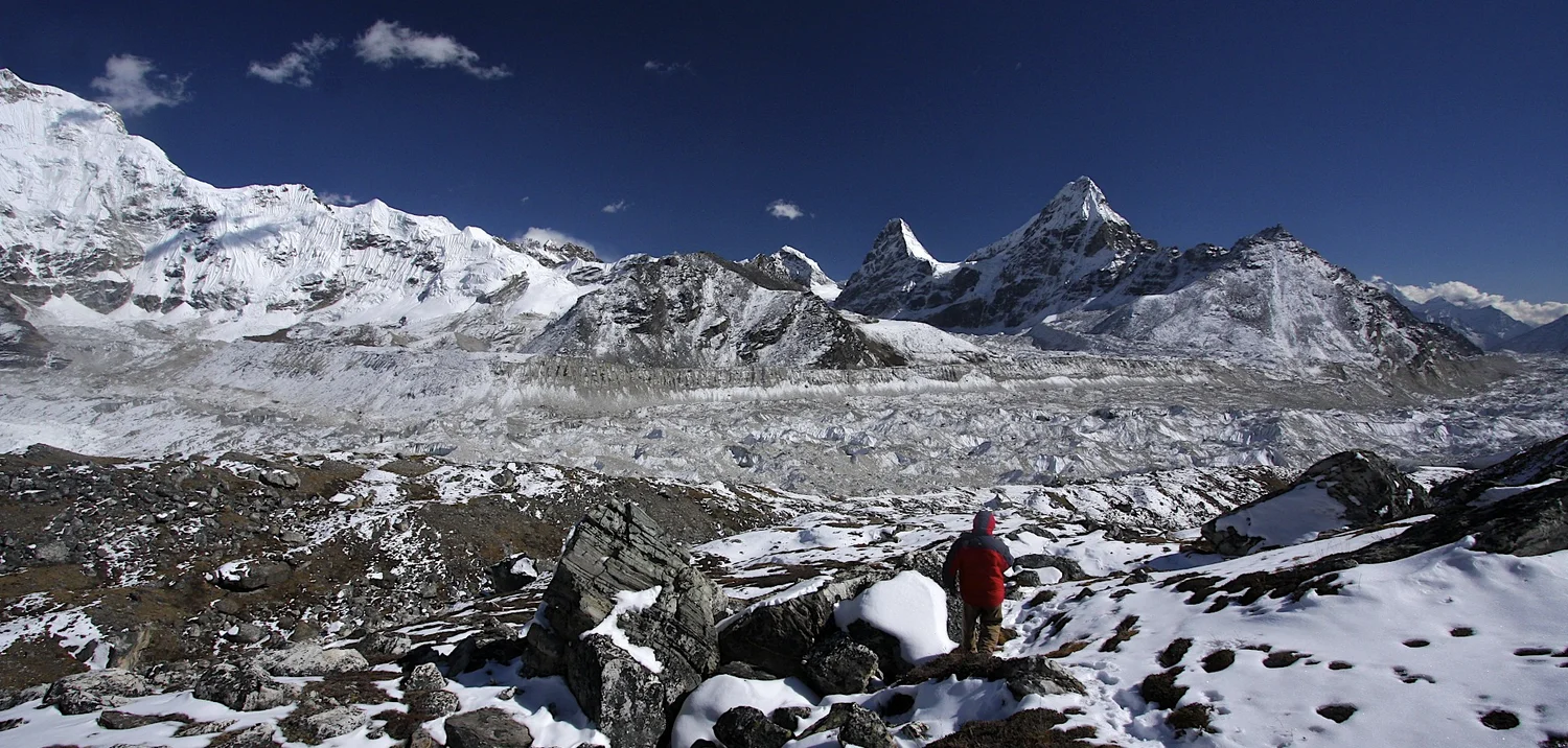
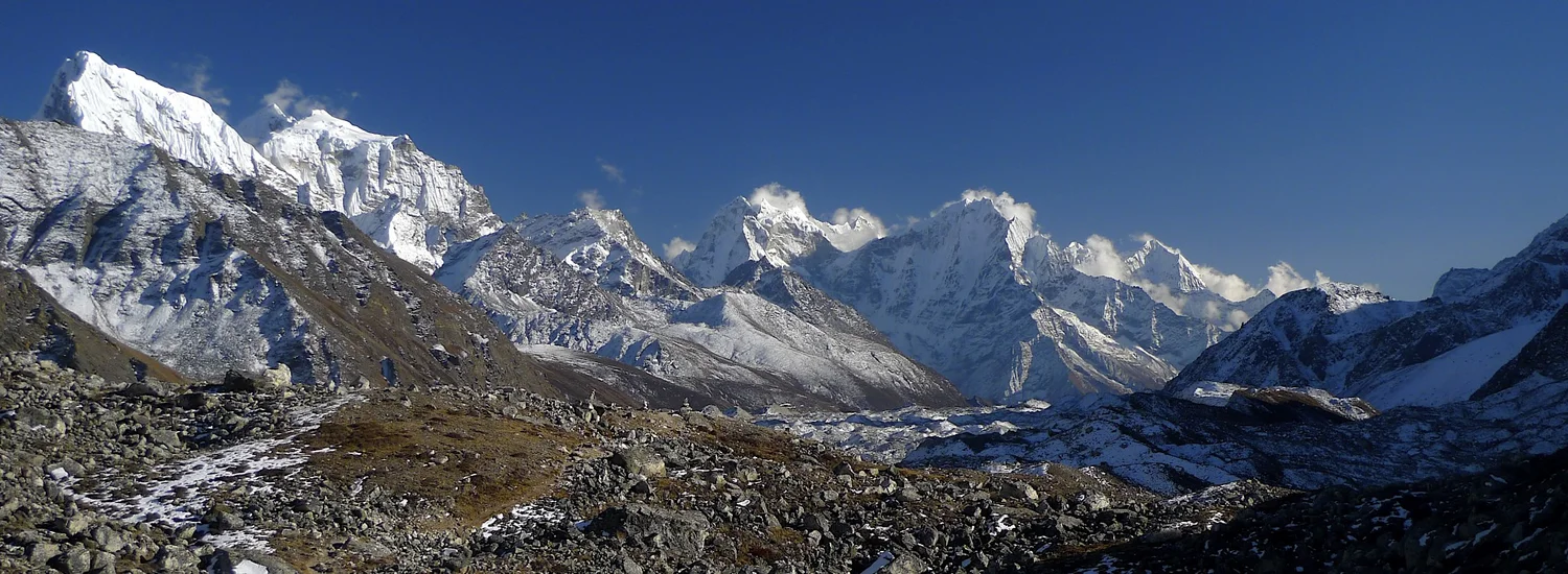
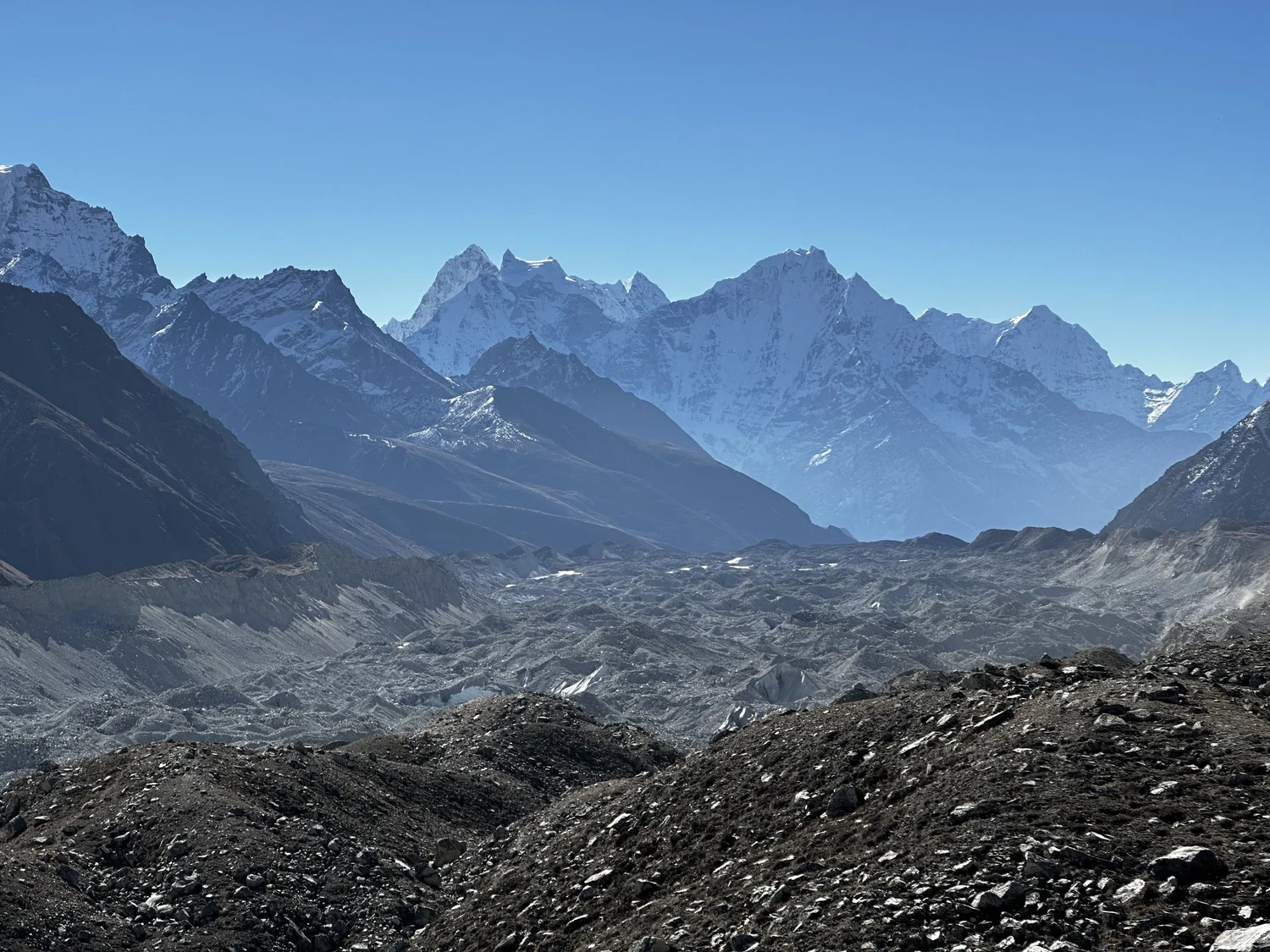
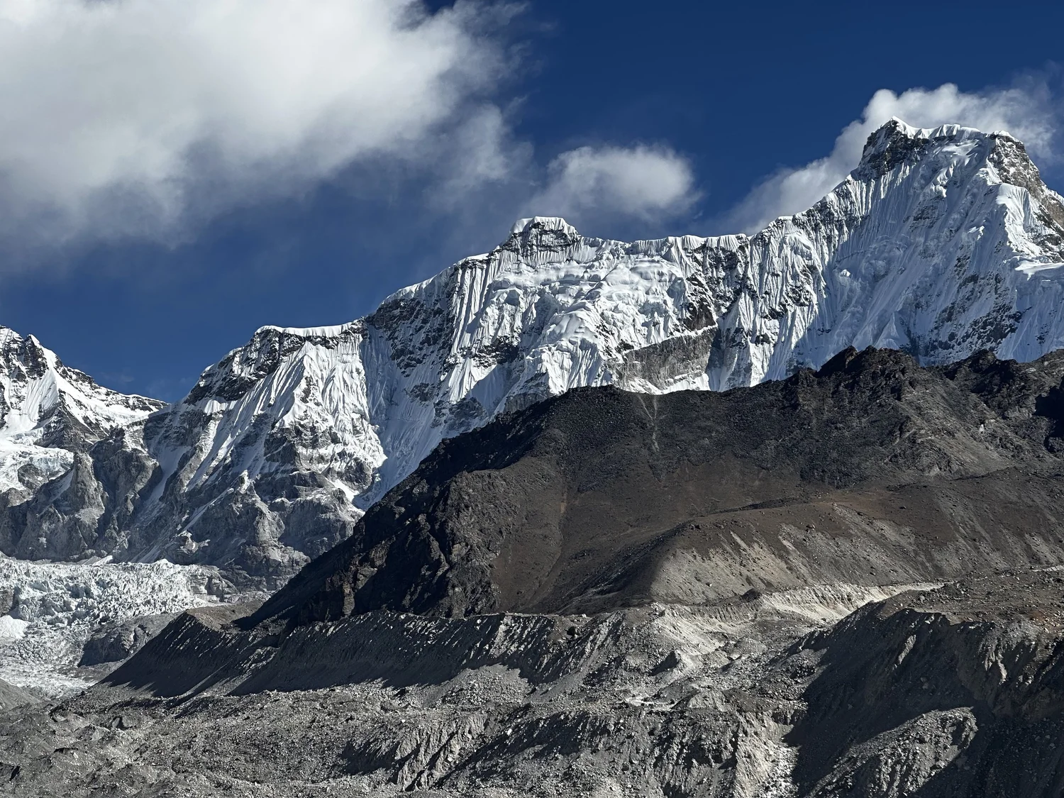
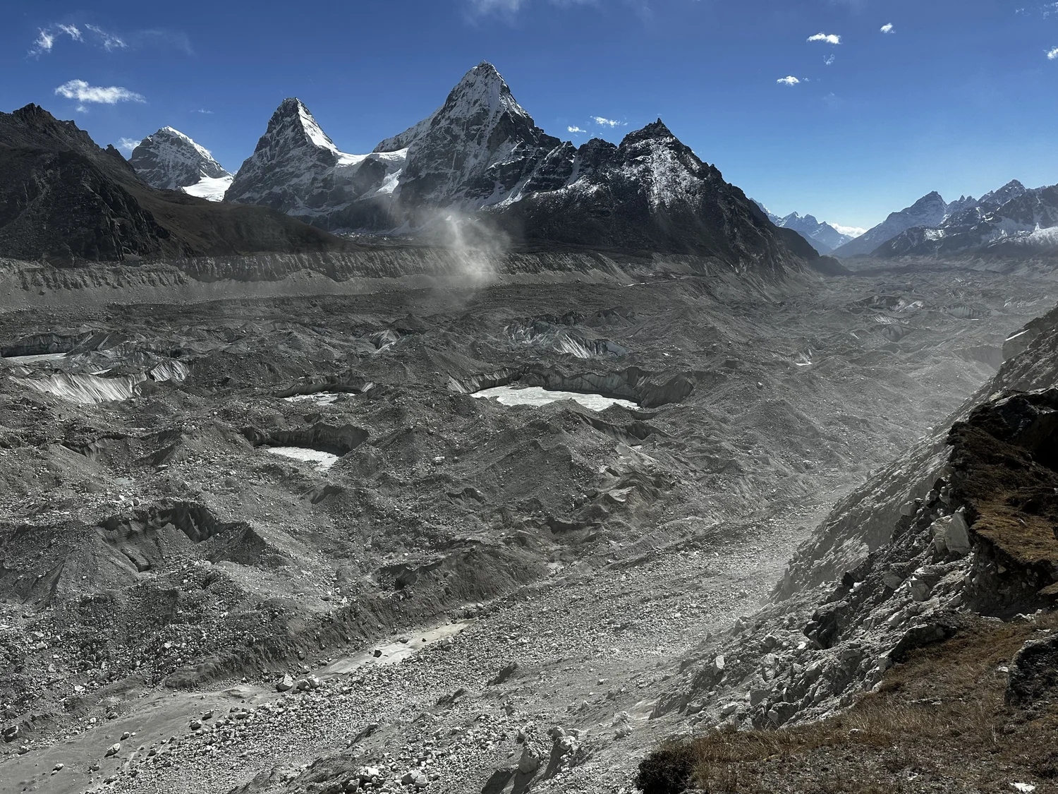
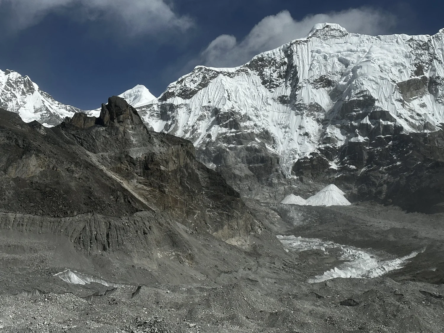
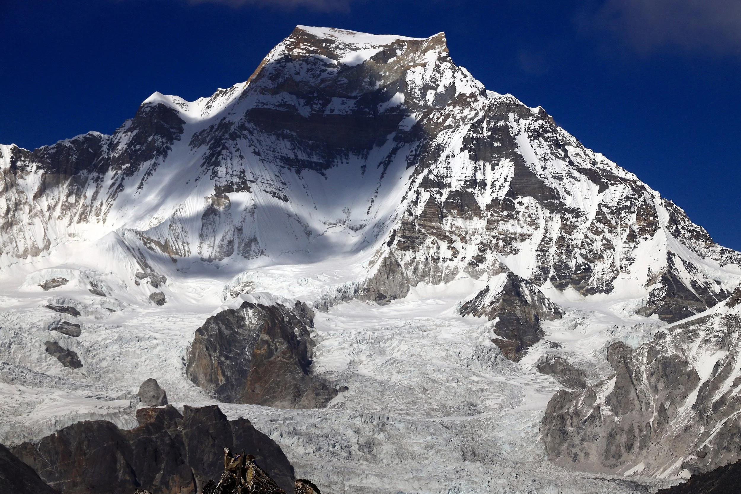
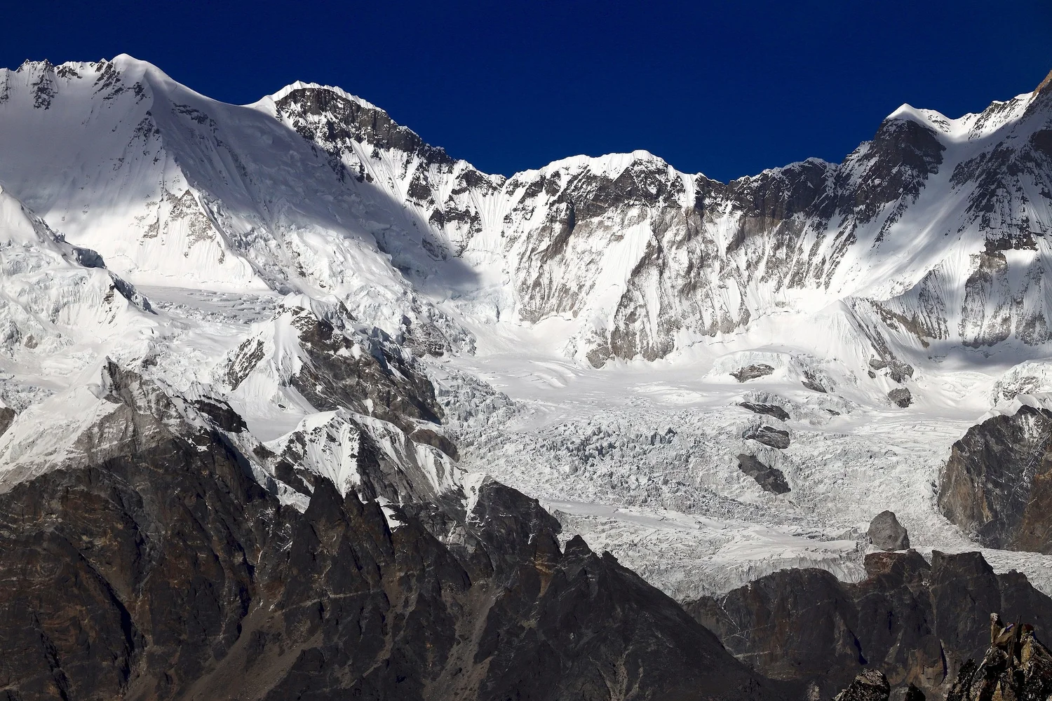
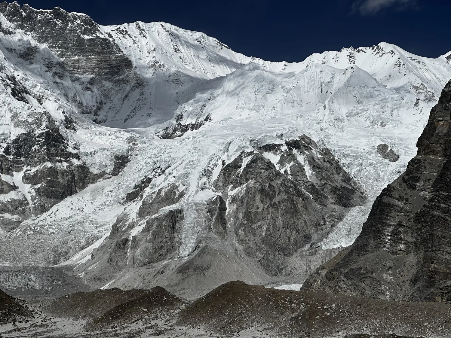
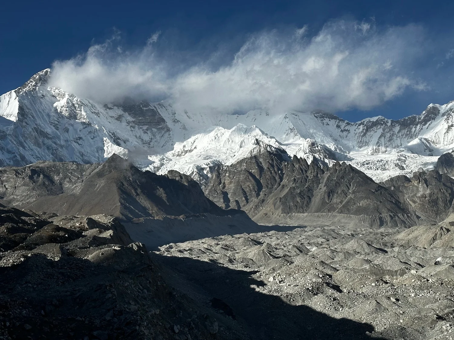
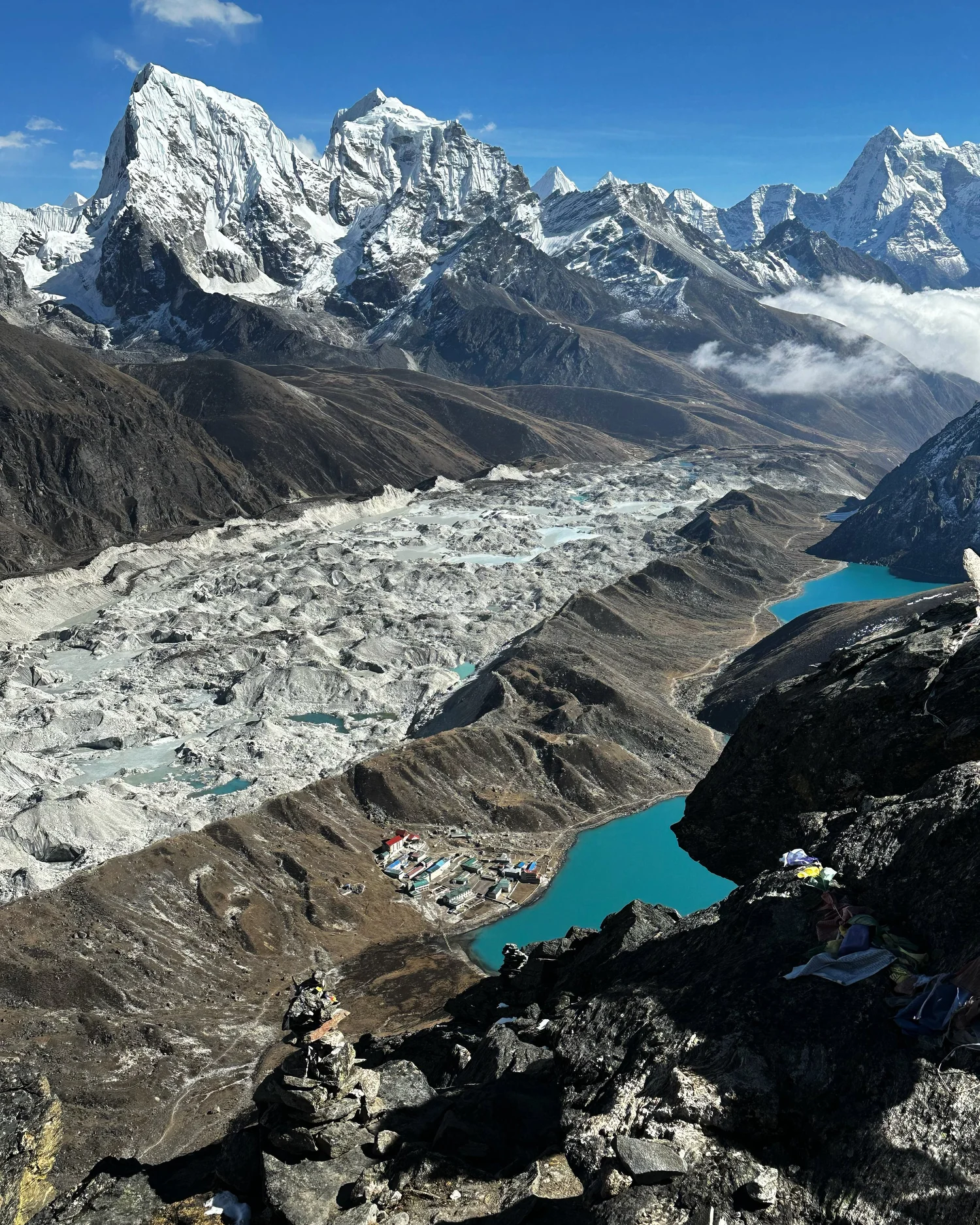
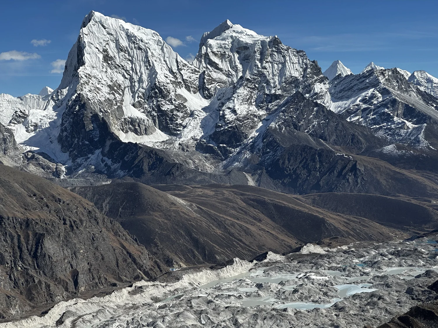
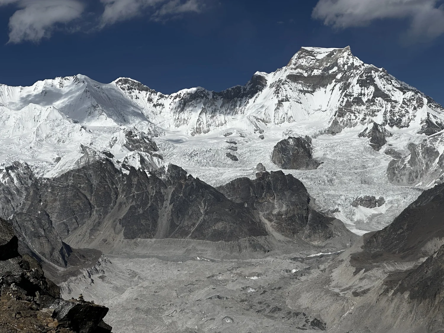
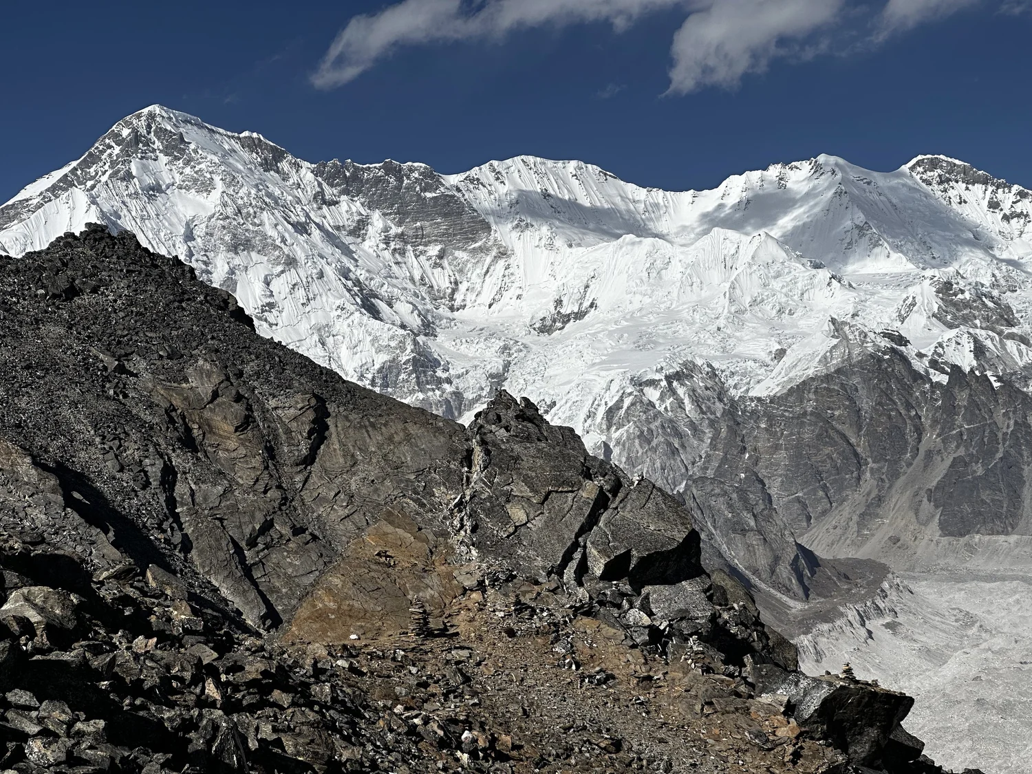
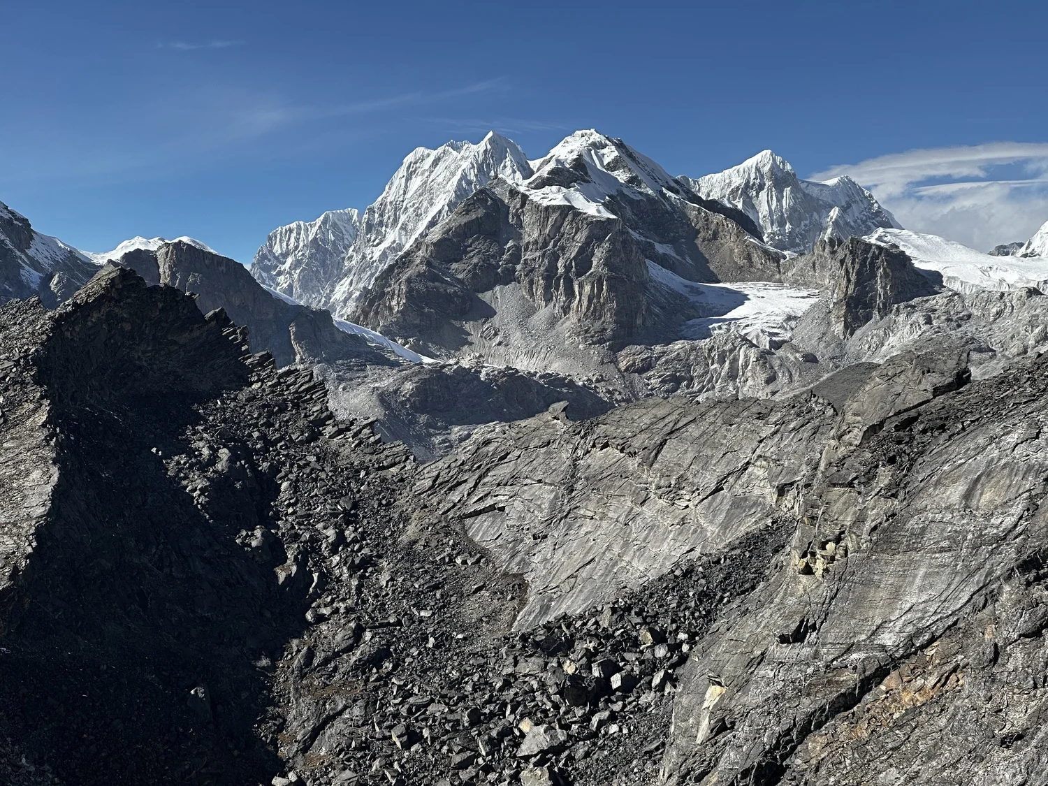
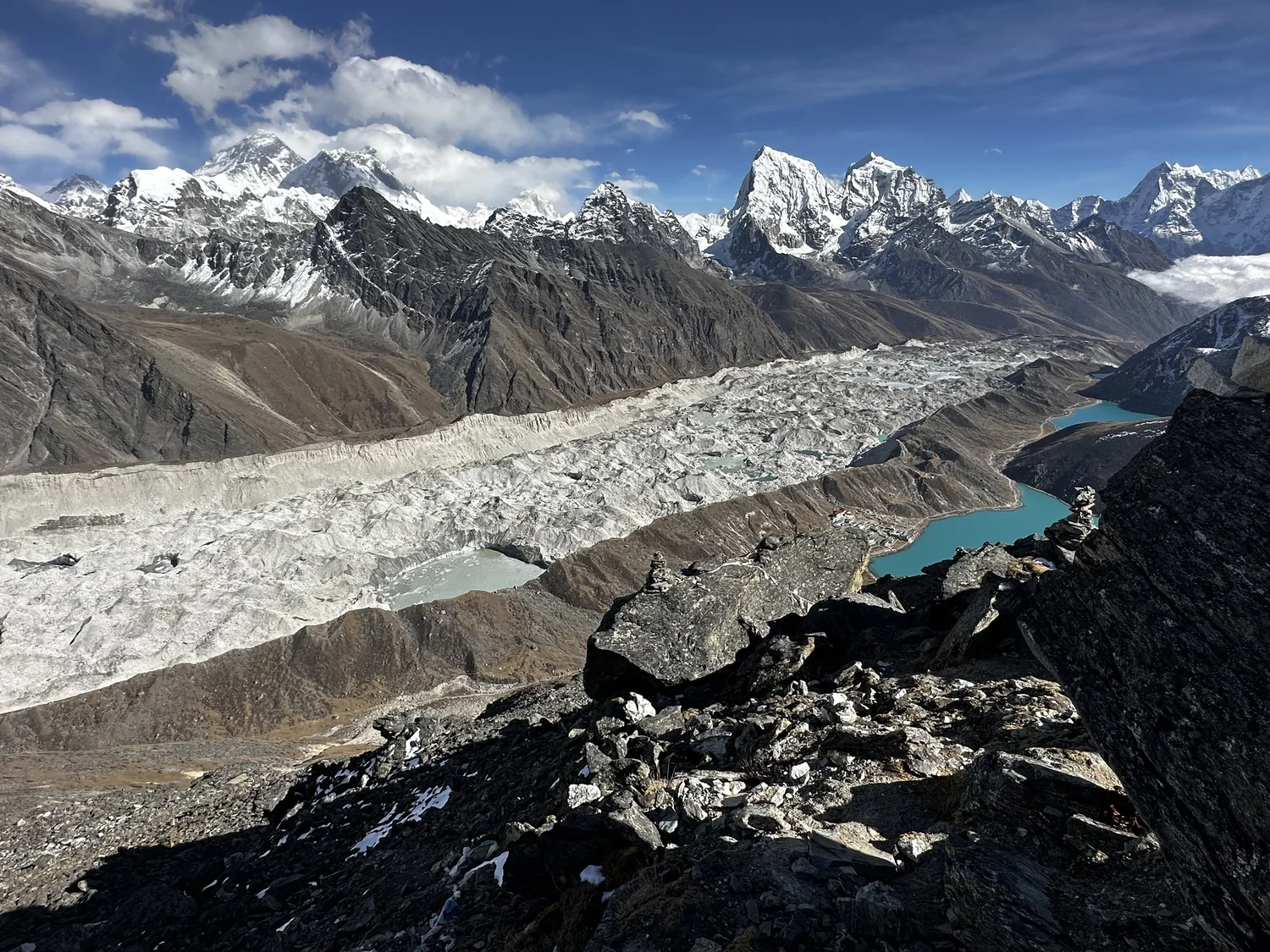
Cho Oyu and upper Ngozumpa Glacier, the longest glacier in Nepal
Everest and Lhotse from upper Ngozumpa Glacier. On the left is the Changri Pass.
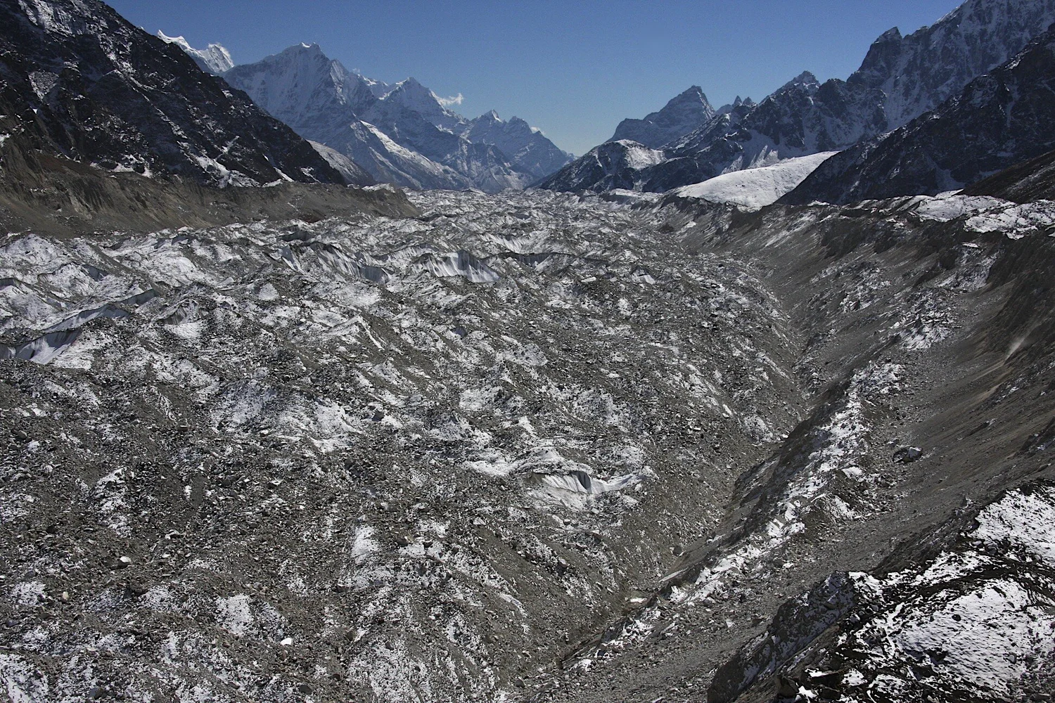
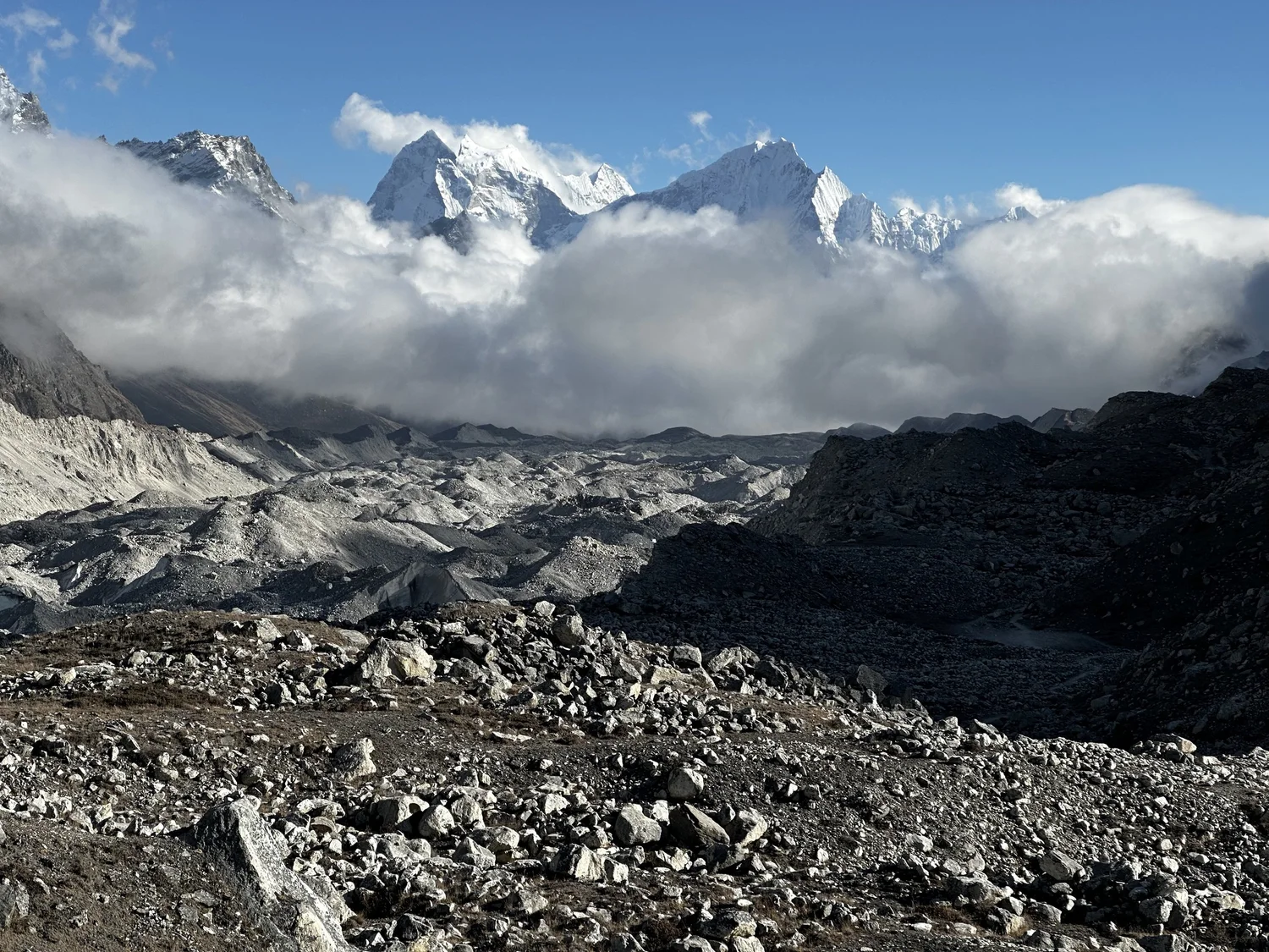
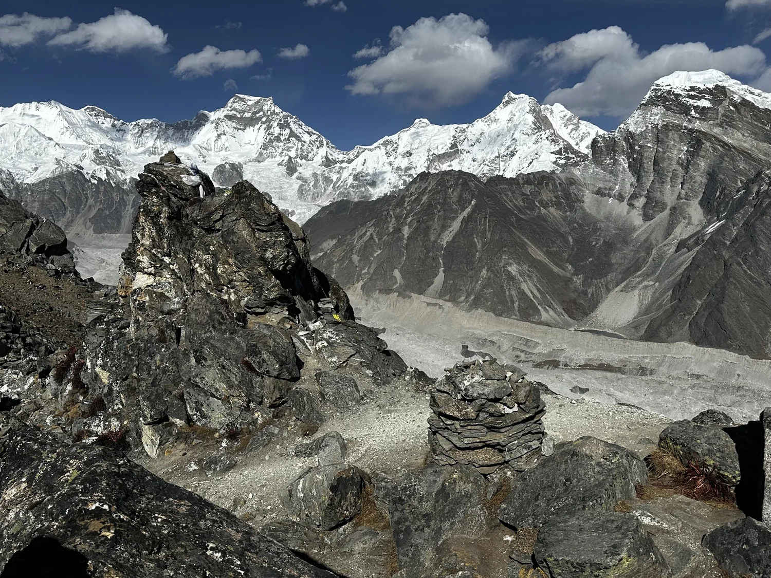
Ngozumpa Glacier - looking south
Mt. Nuptse
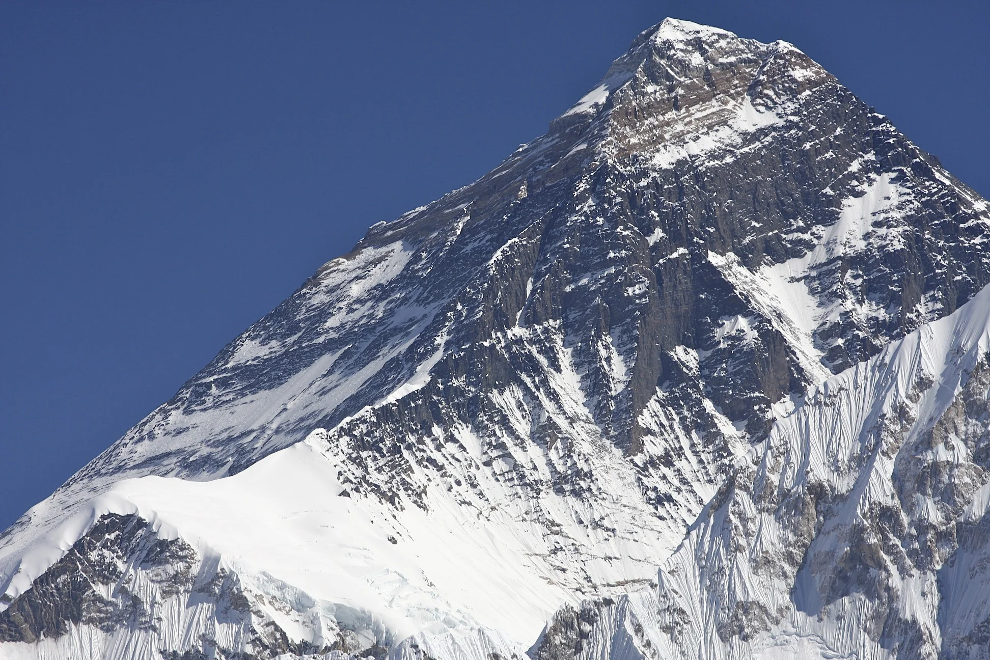
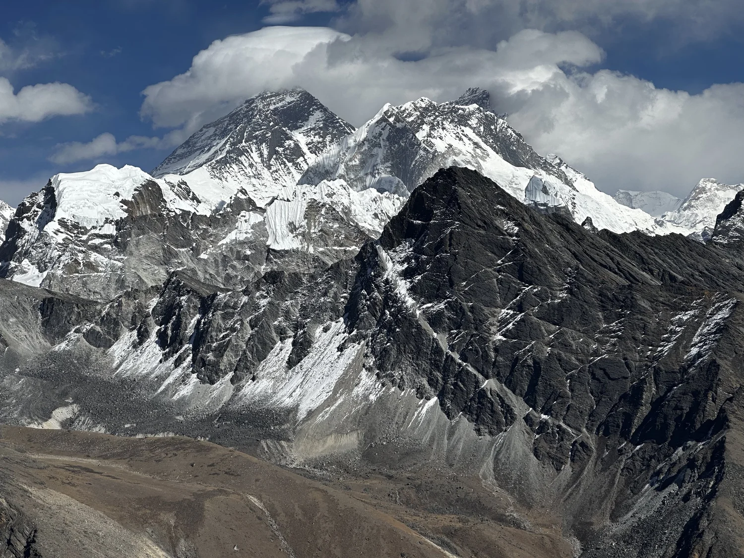
Everest
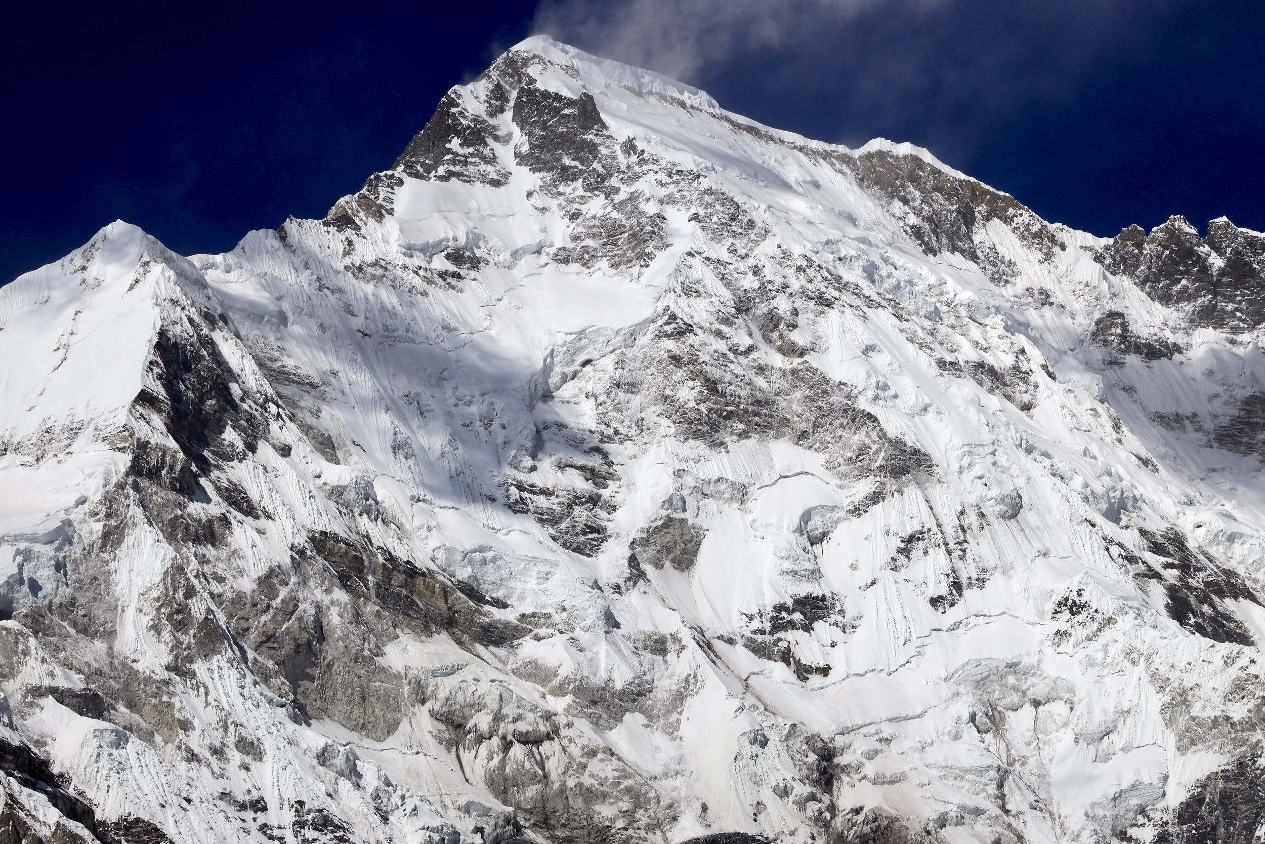
Cho Oyu
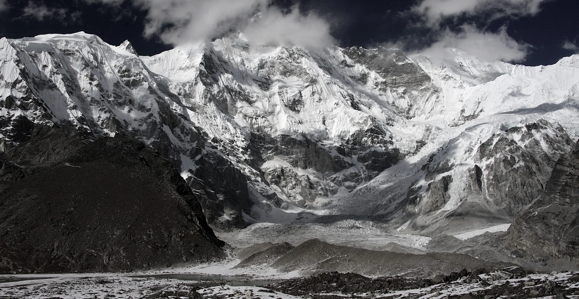
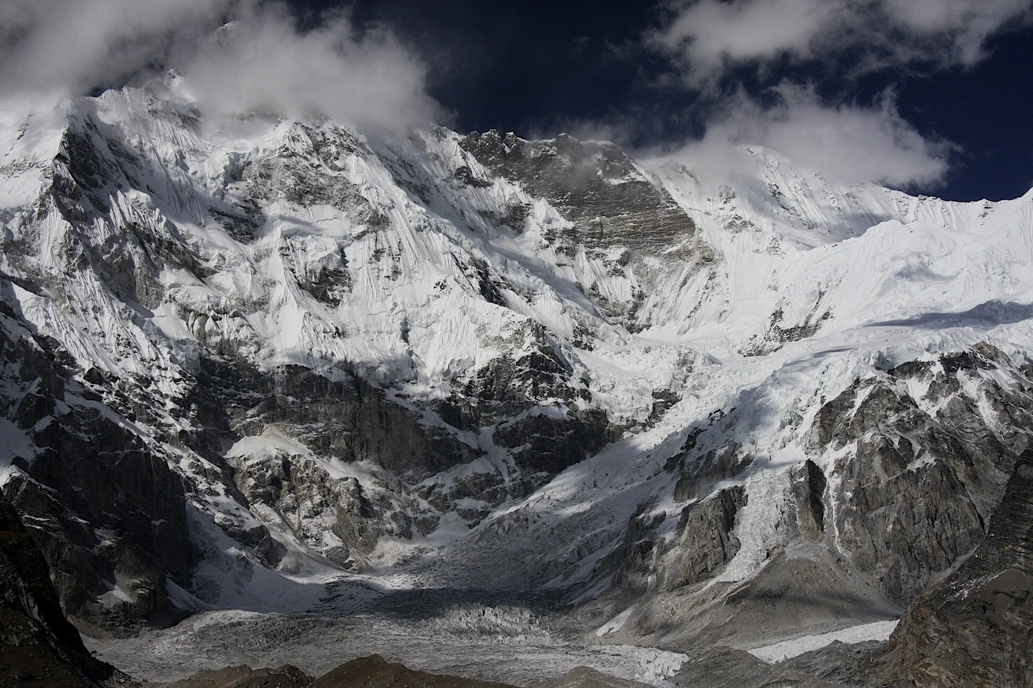
Cho Oyu BC abd Panch Pokari
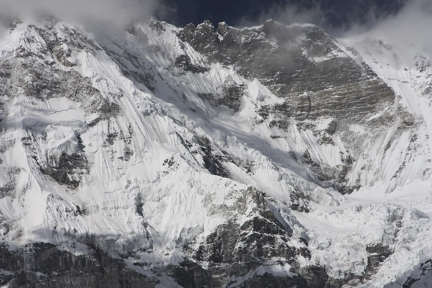
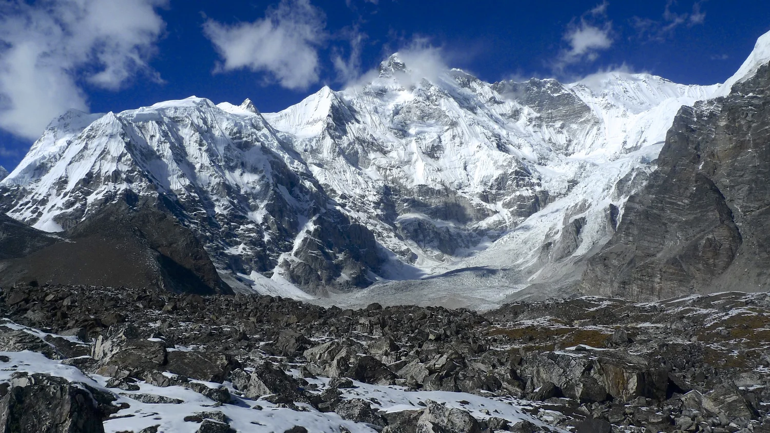
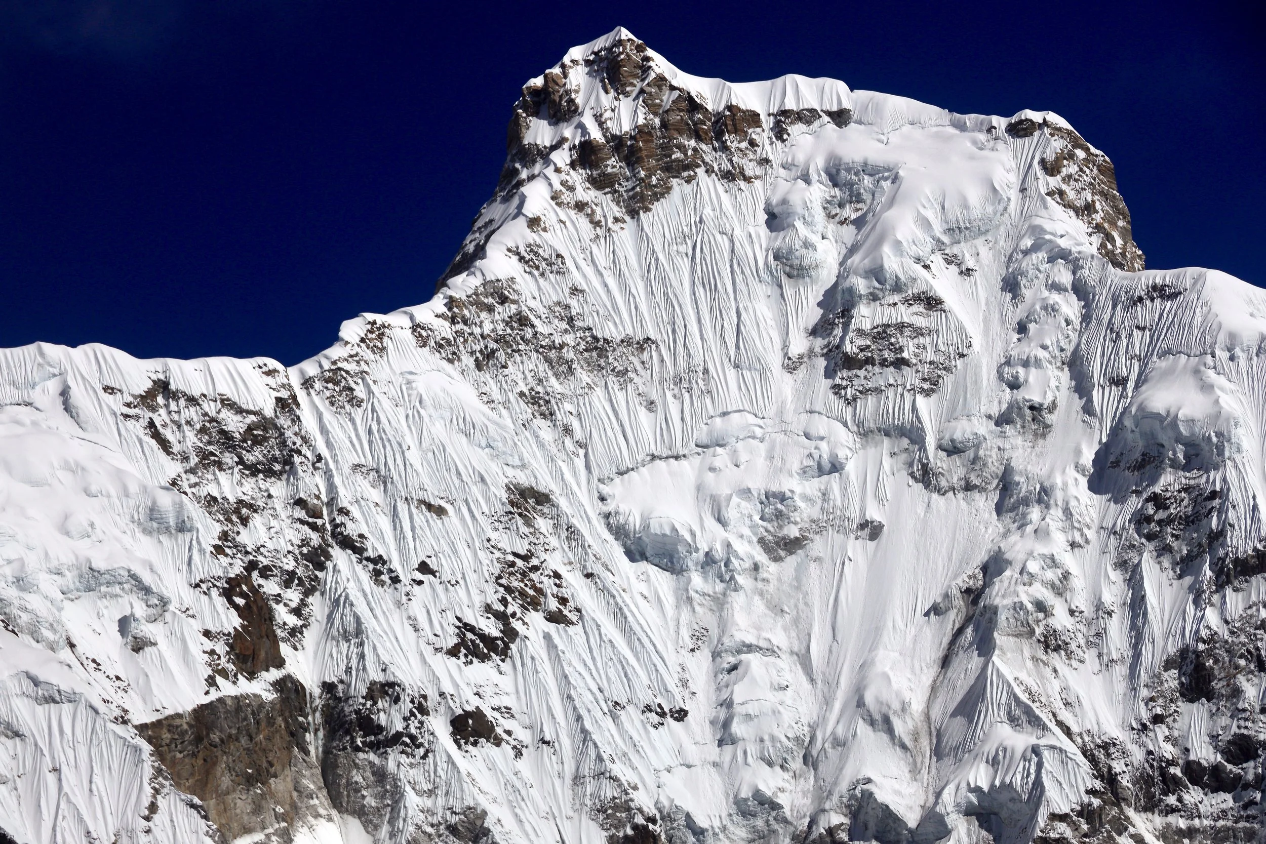
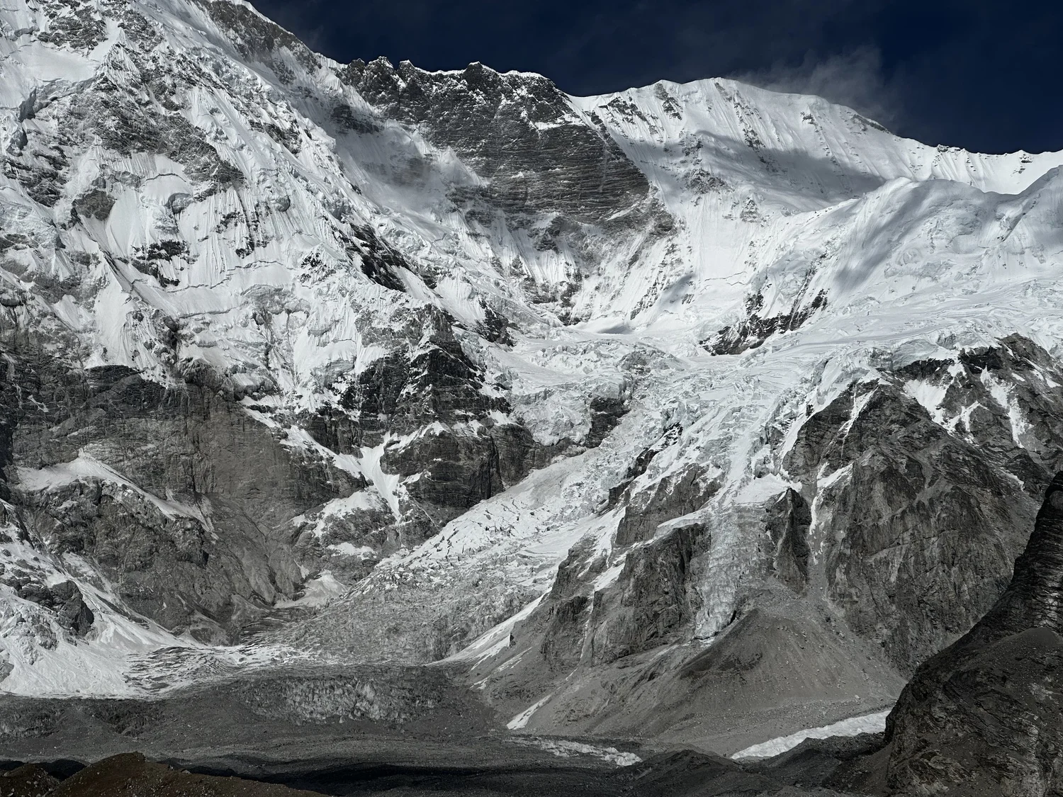
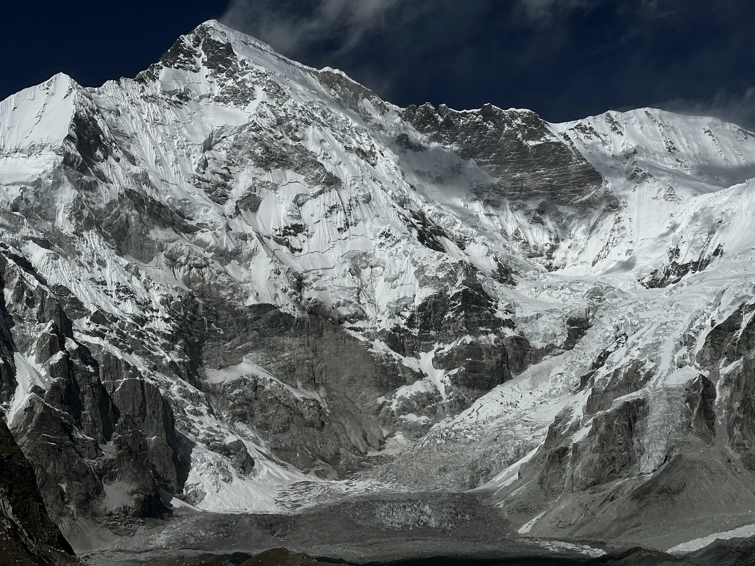
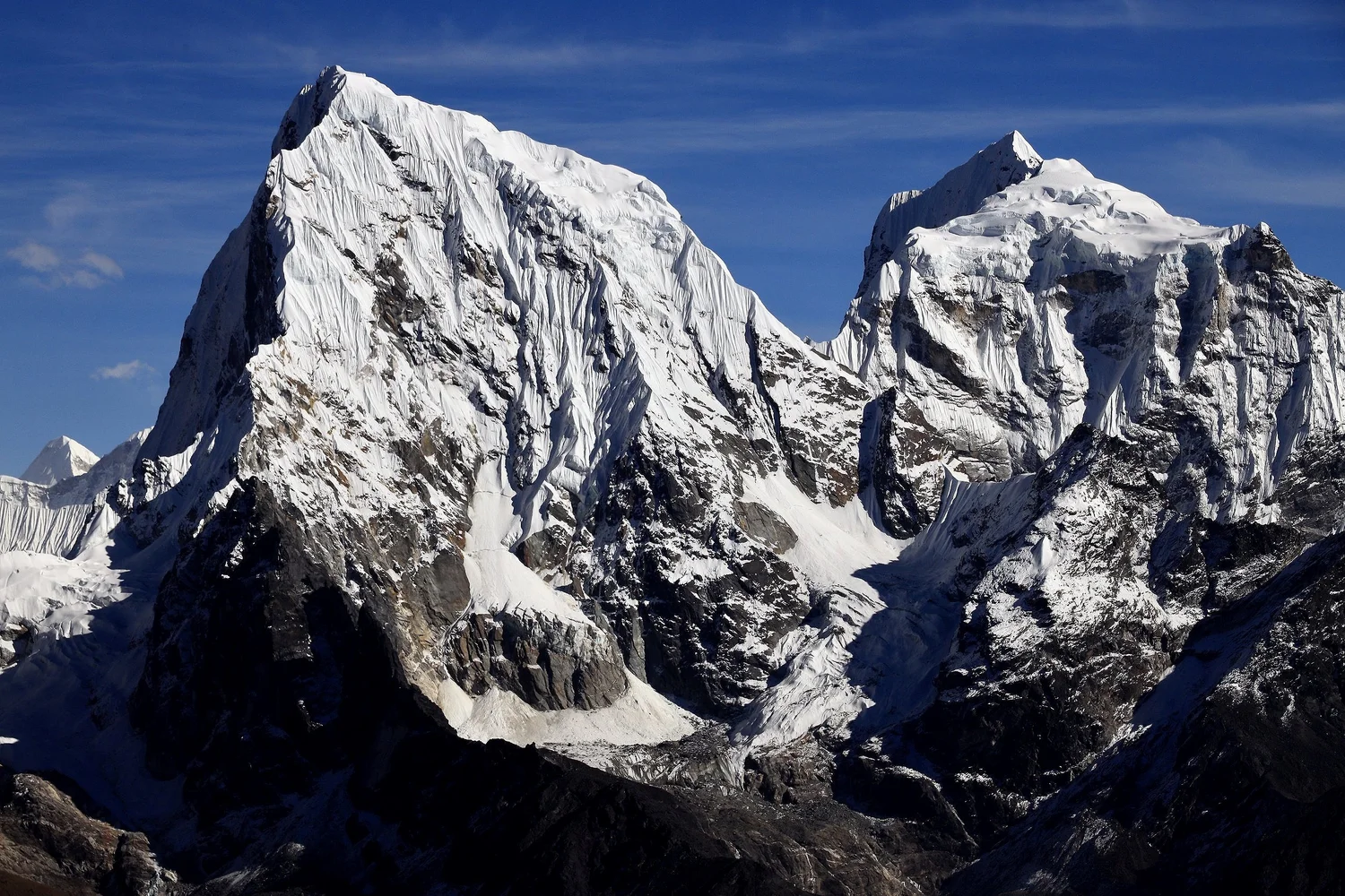
Cho Oyu south face
Cho Oyu
Cho Oyu
Cho Oyu
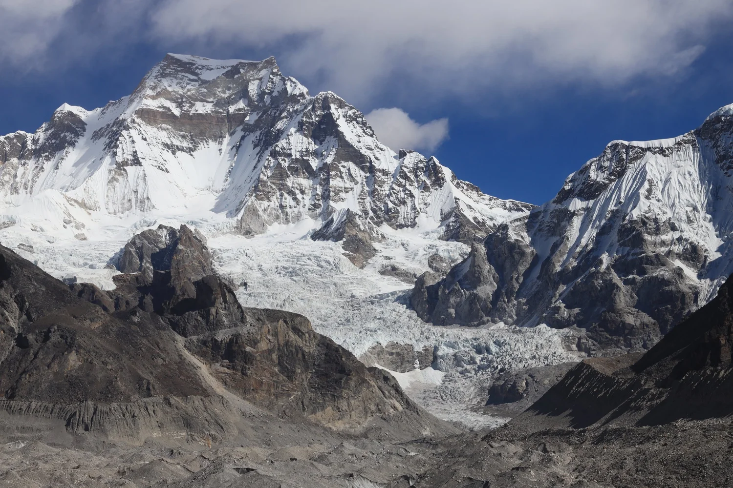
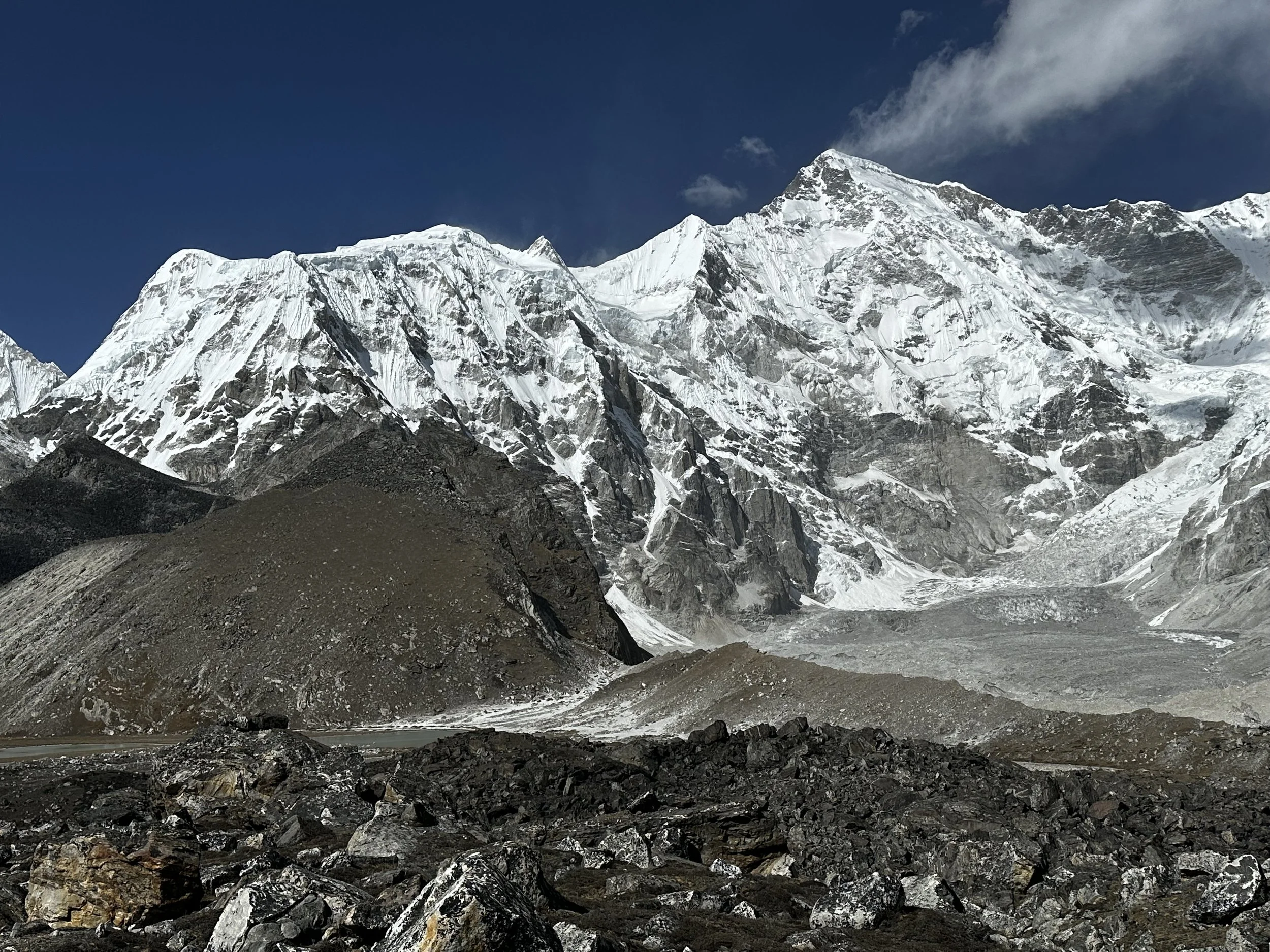
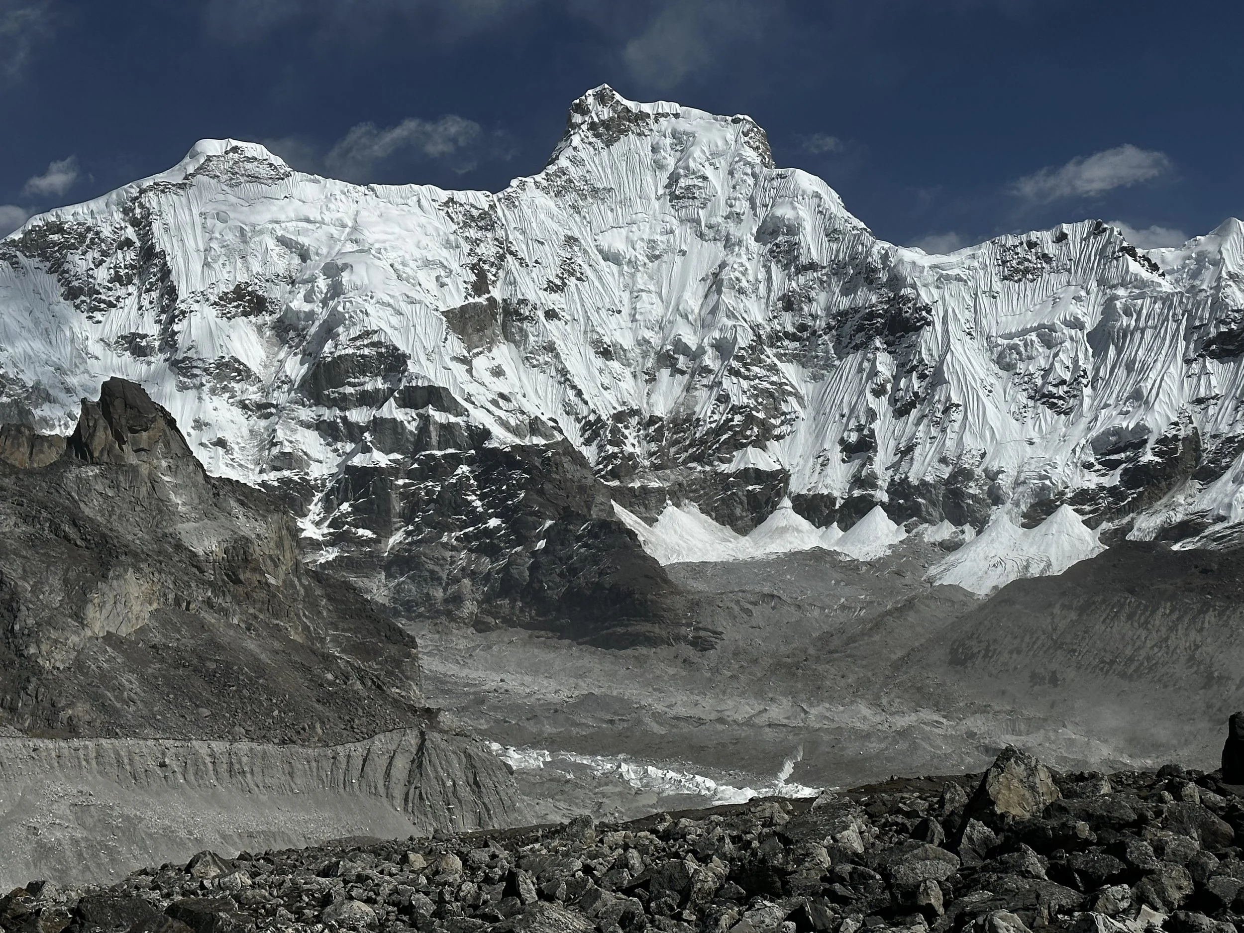
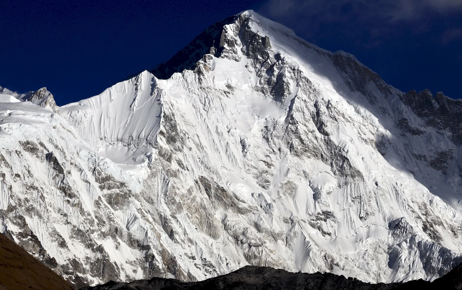
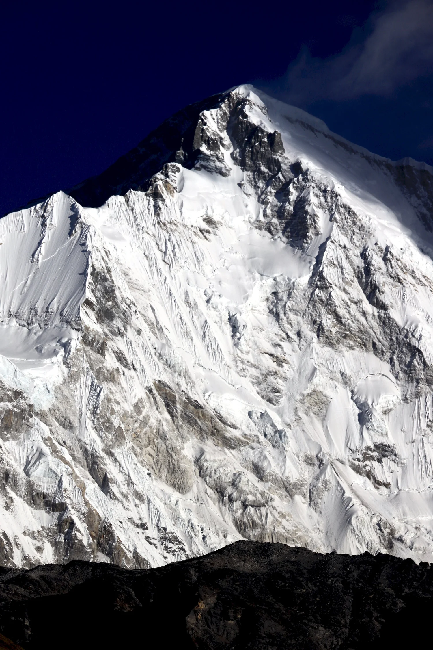
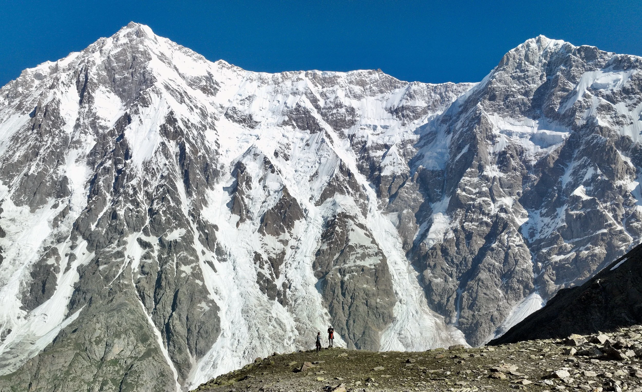
Gyachung Kang 7952m
Mt. Everest and Lhotse
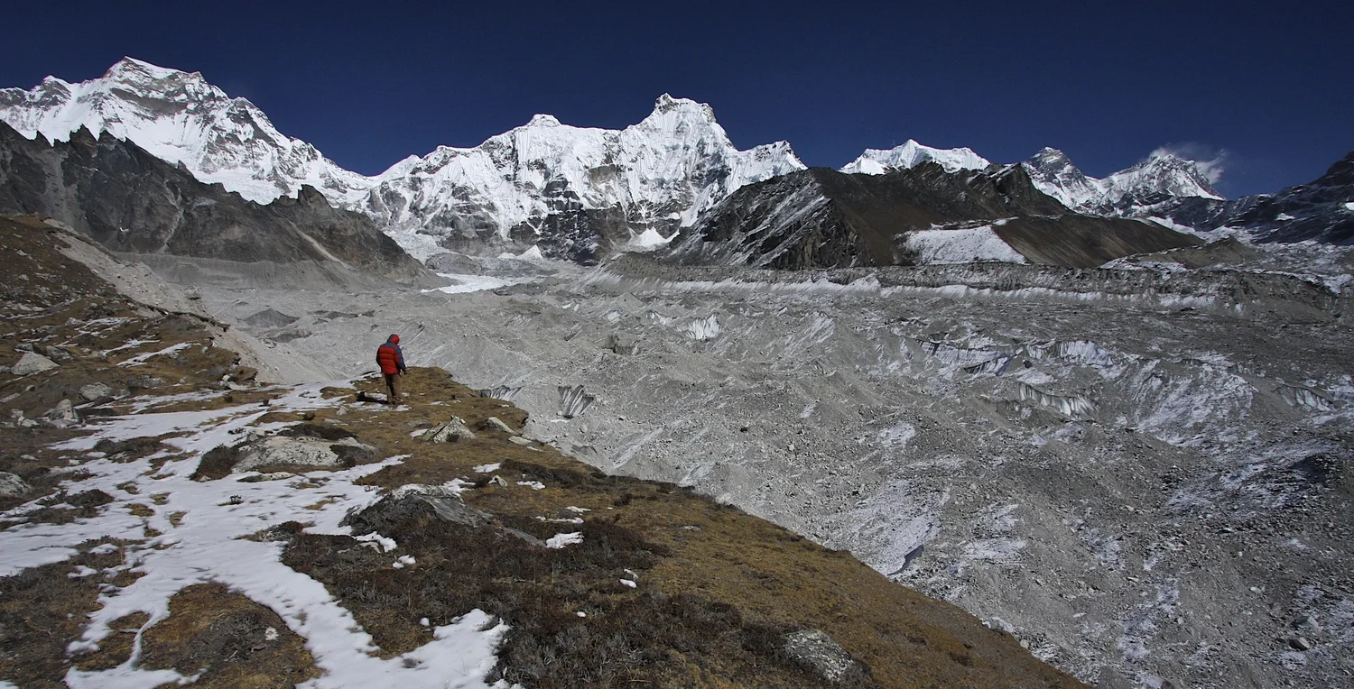
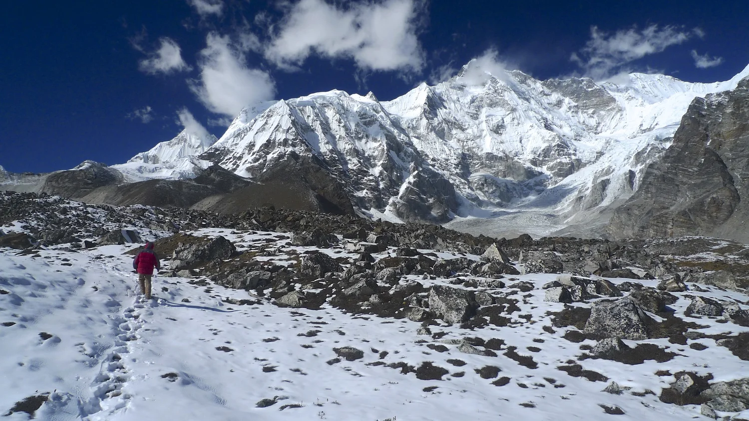
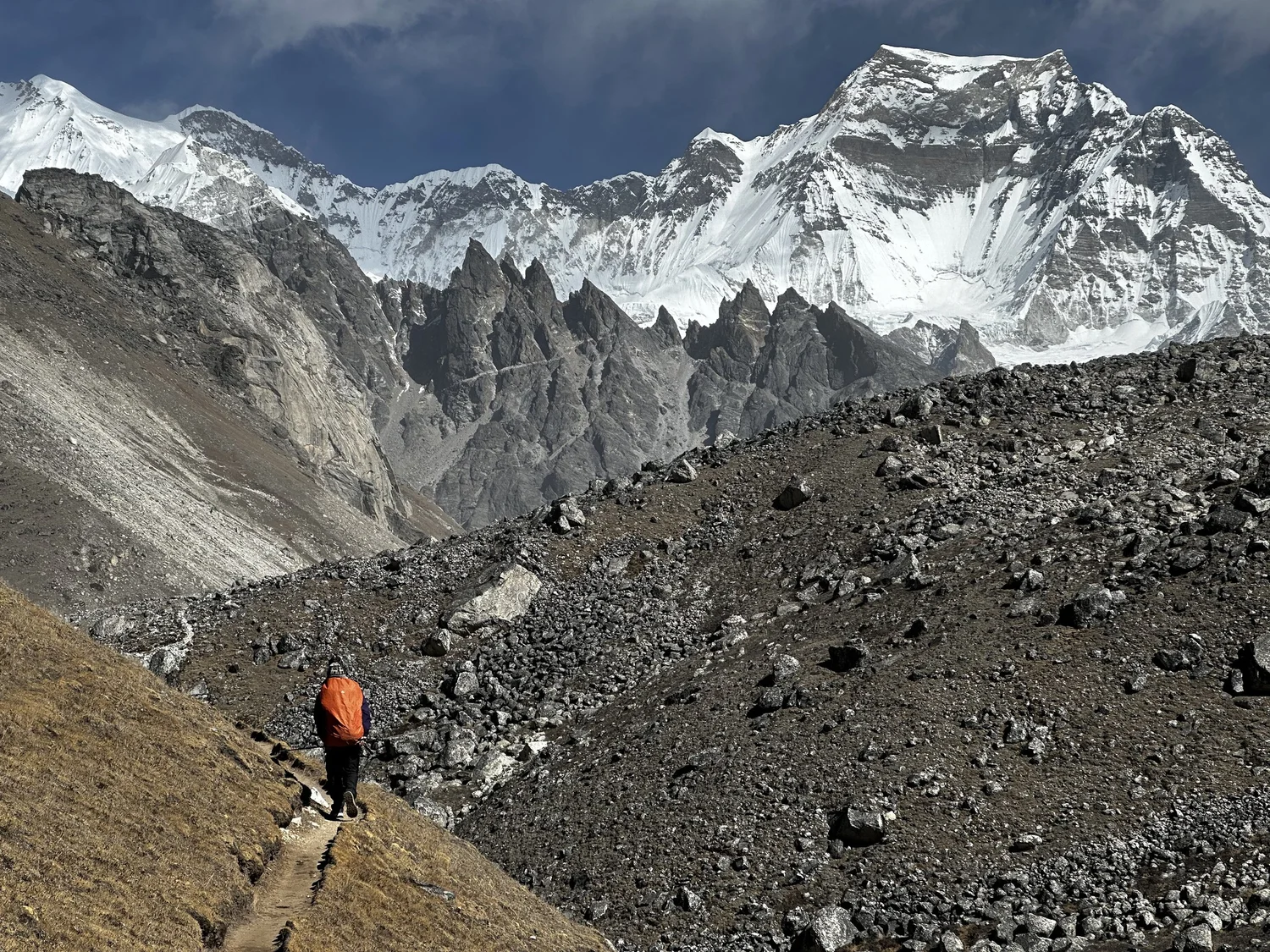
On the way to Cho Oyu BC with Gyachung Kang 7952m on the right
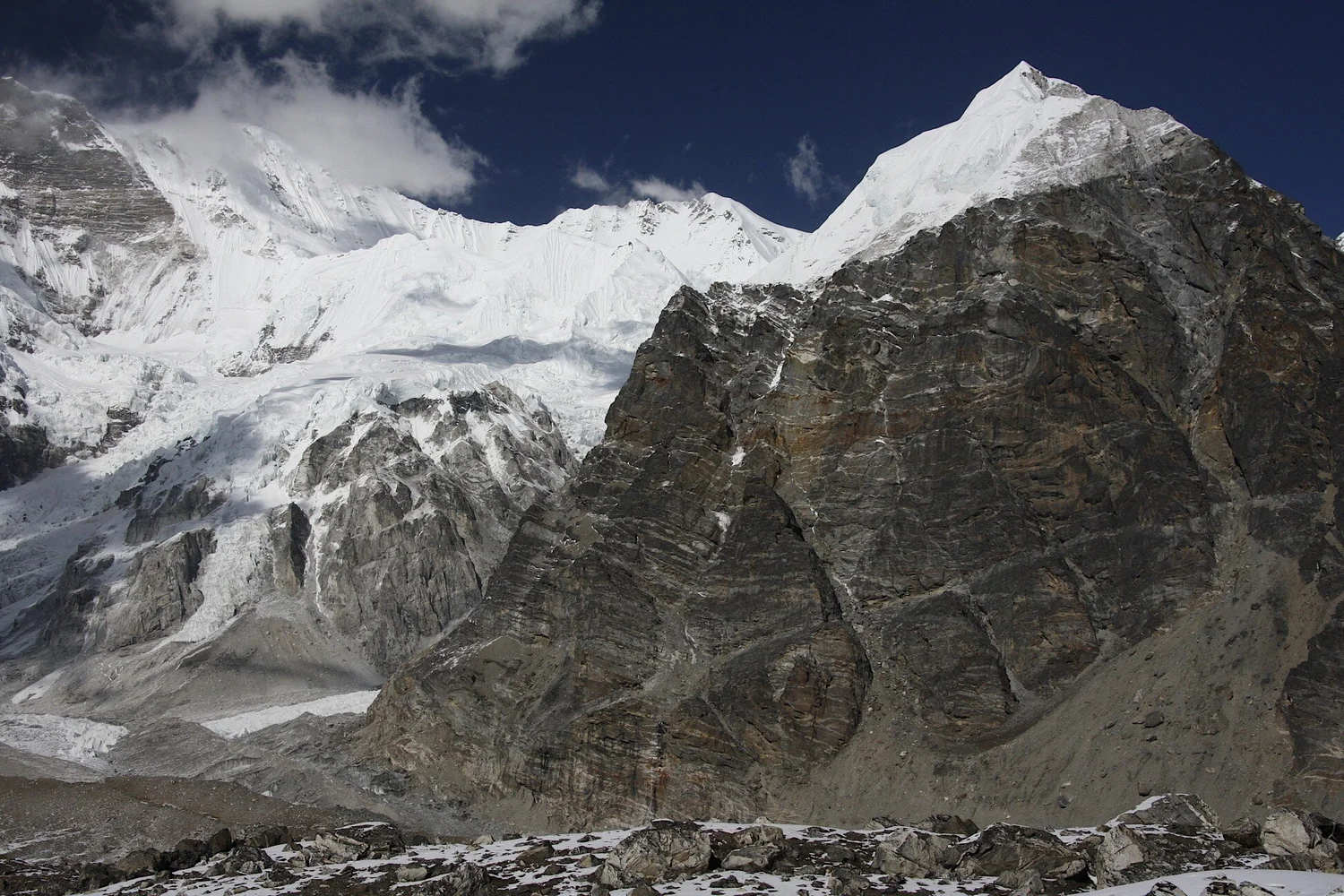
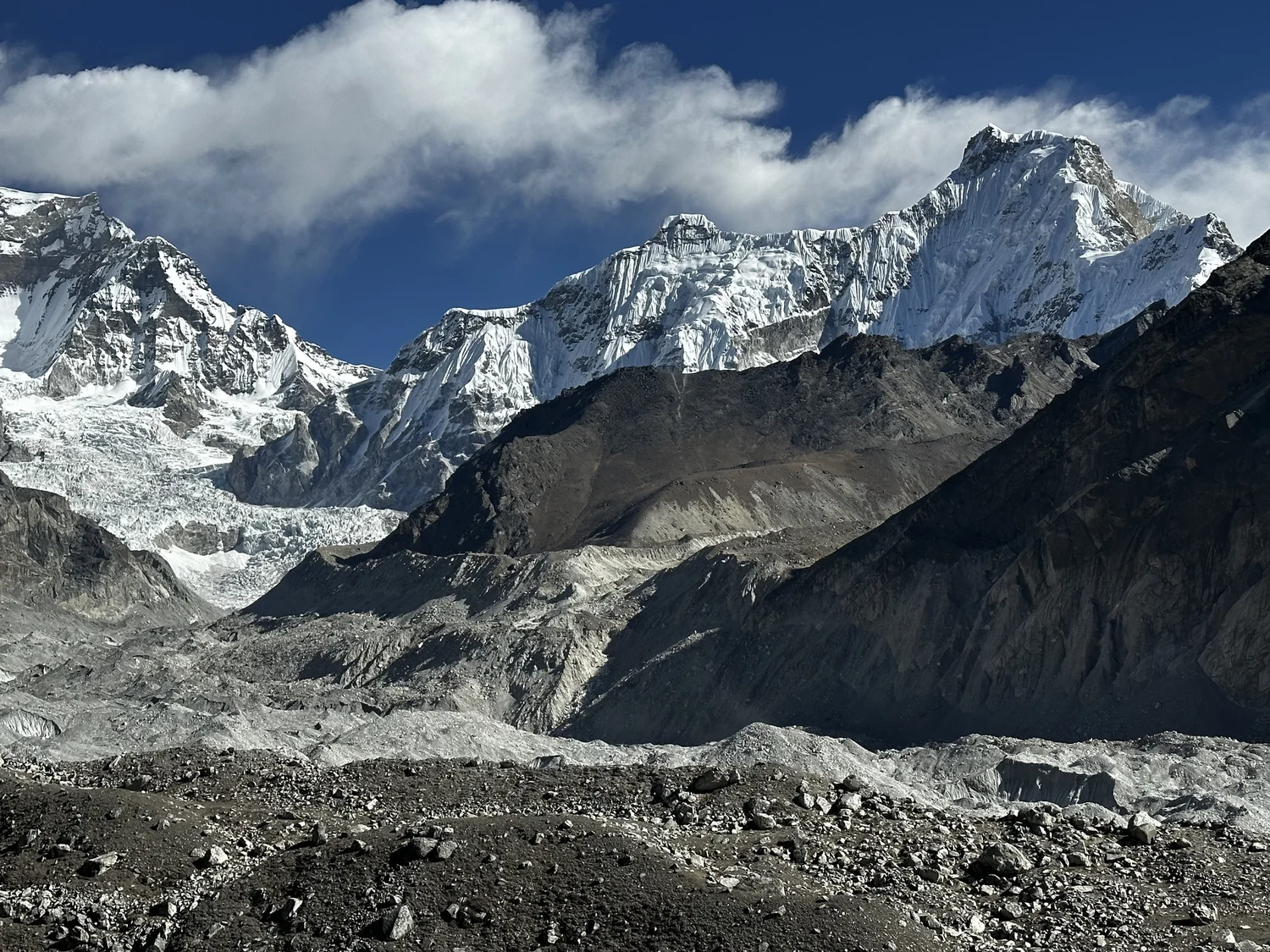
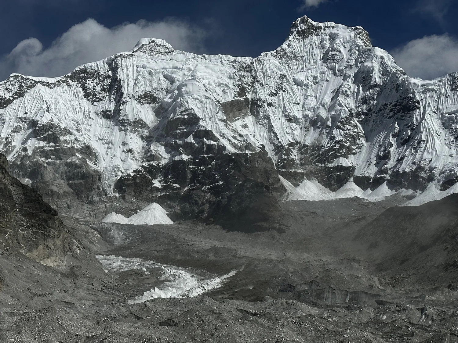
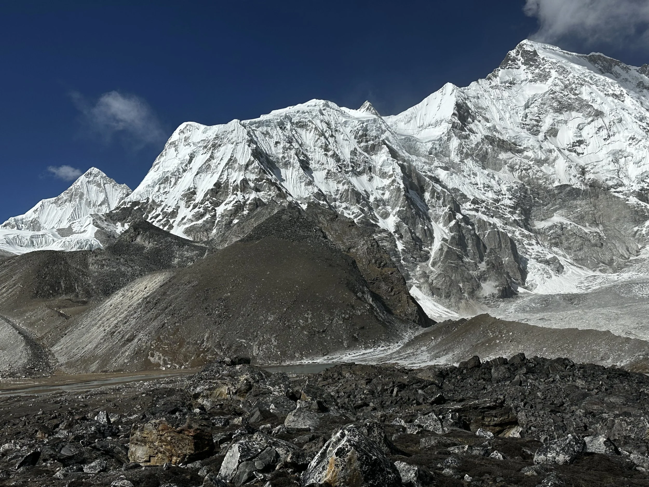
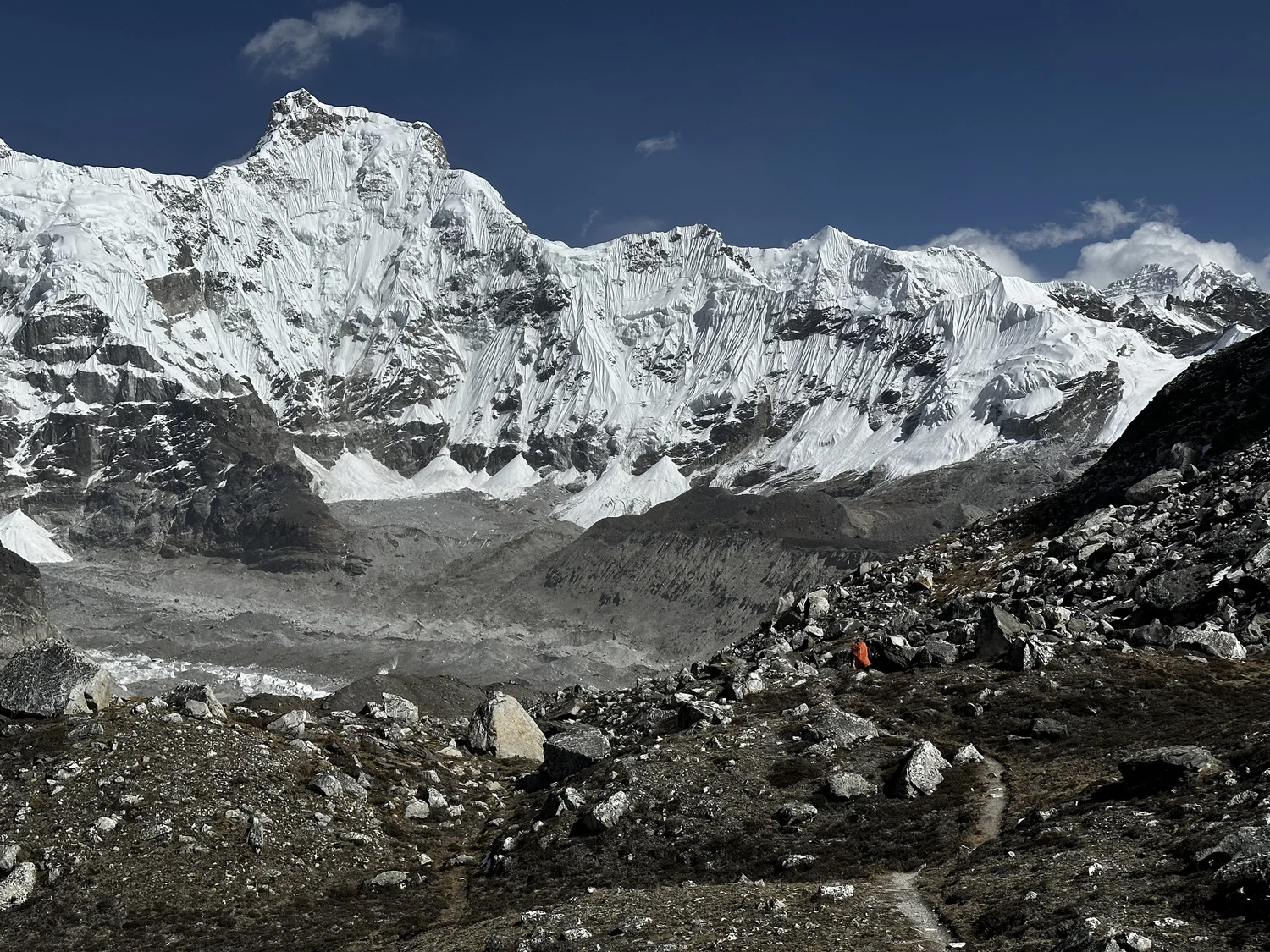
Ngzumba Glacier with Kangchung East and West in the centre
Gyachung Kang 7952m
Gyachung Kang 7952m
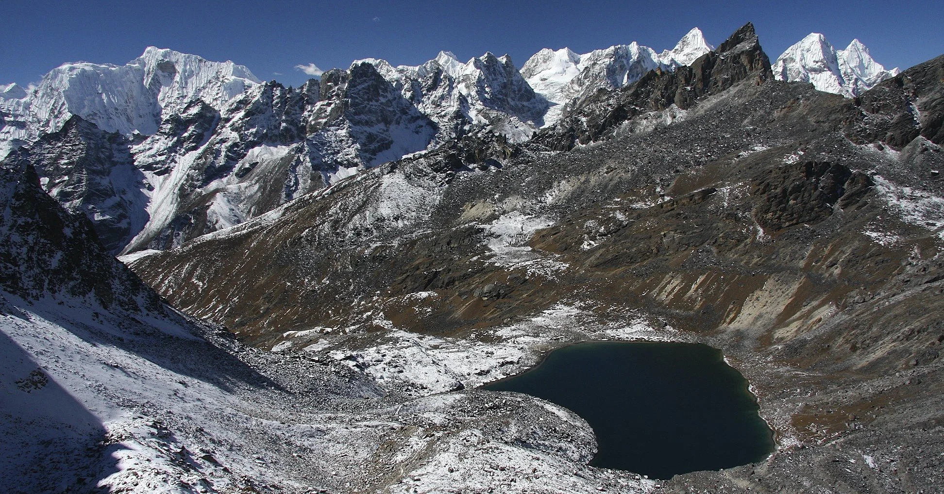
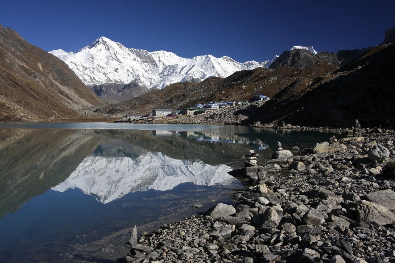
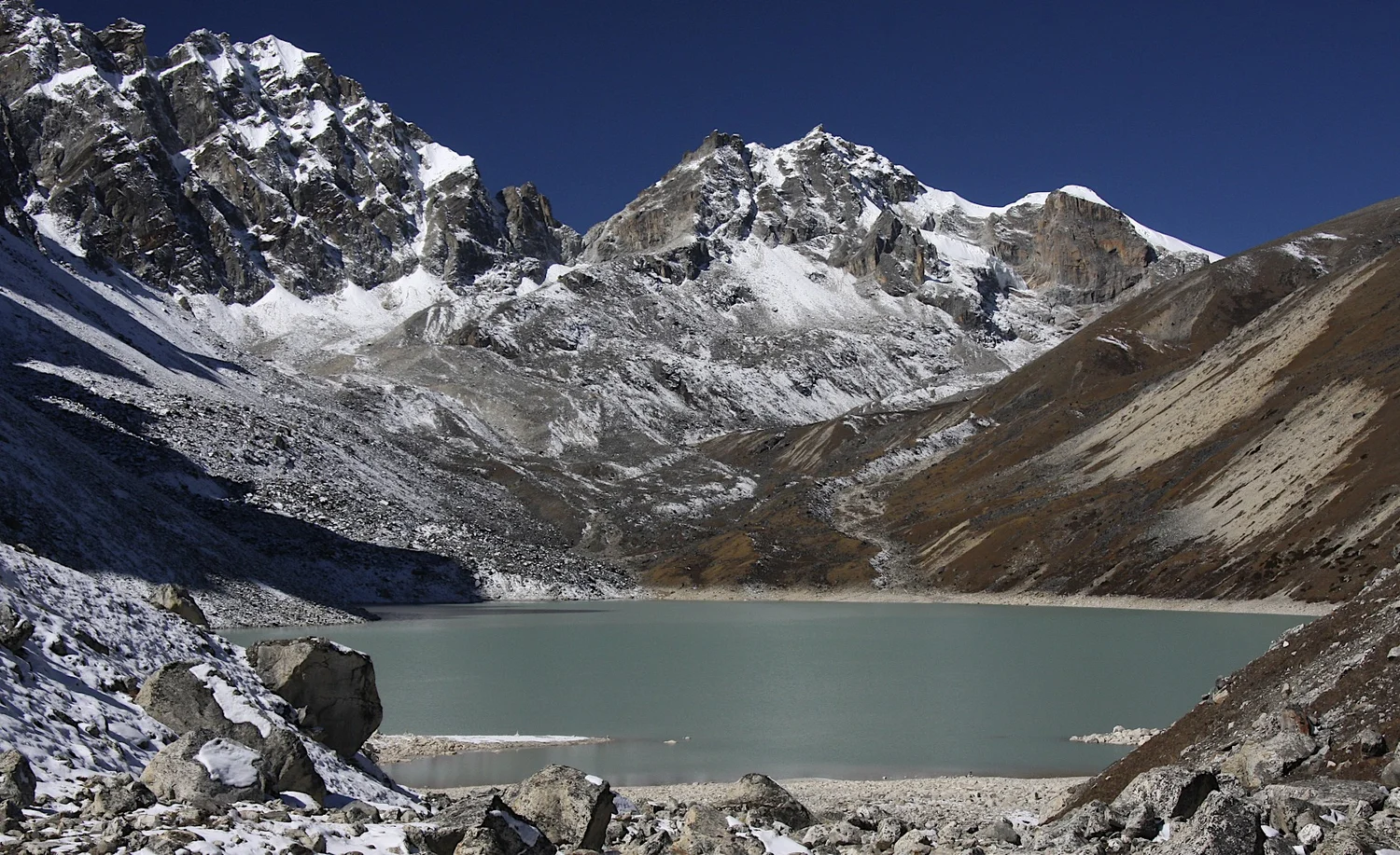
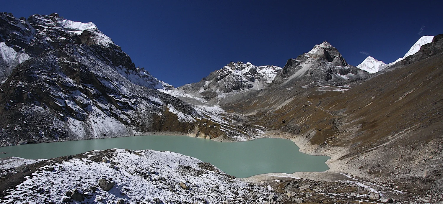
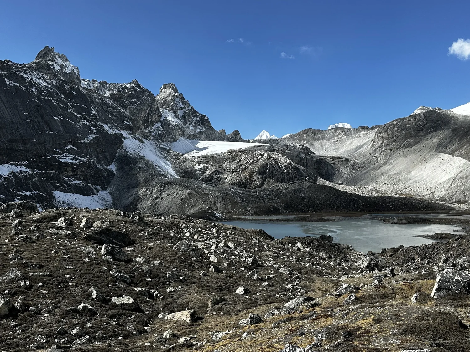
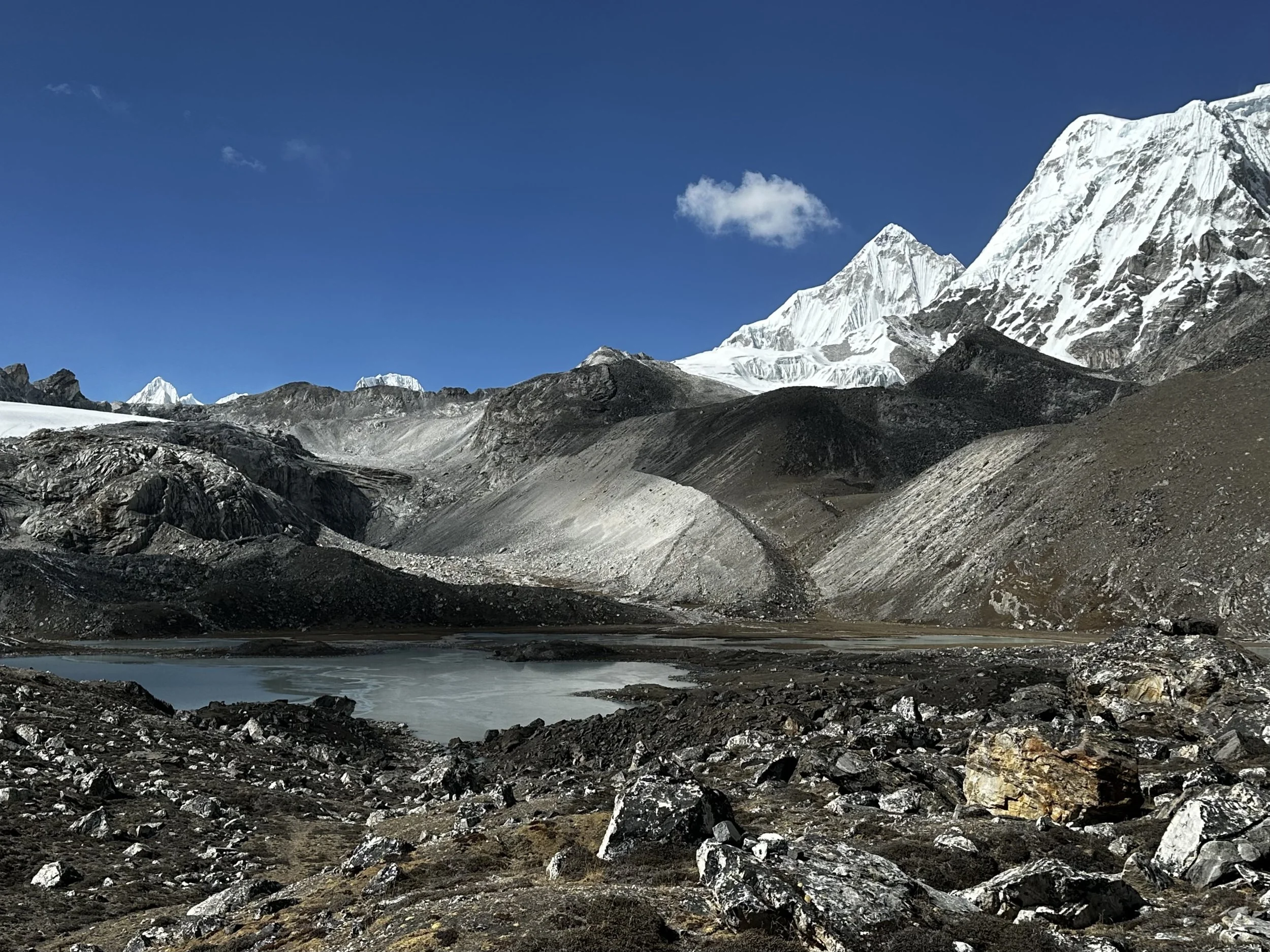
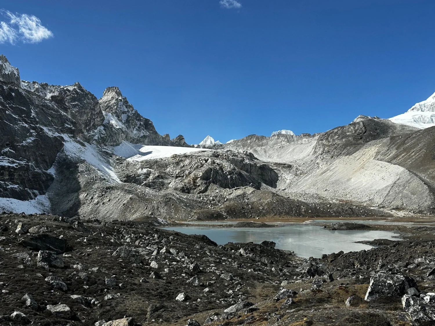
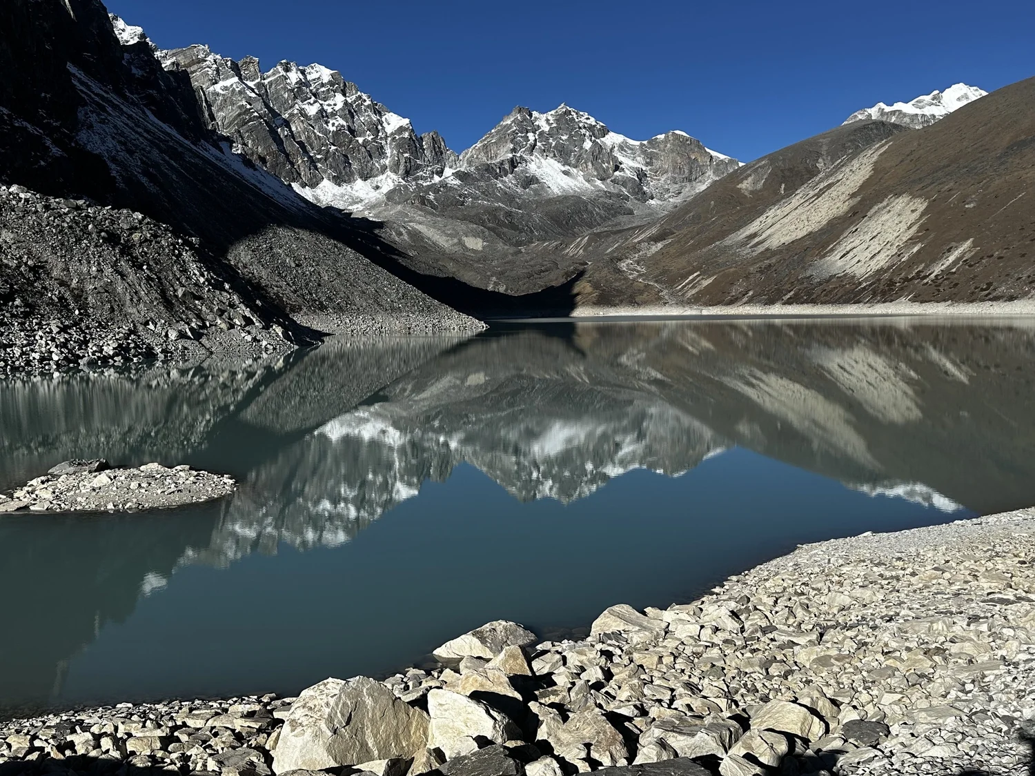
6th Gokyo Lake
6th Gokyo Lake and Jasemba
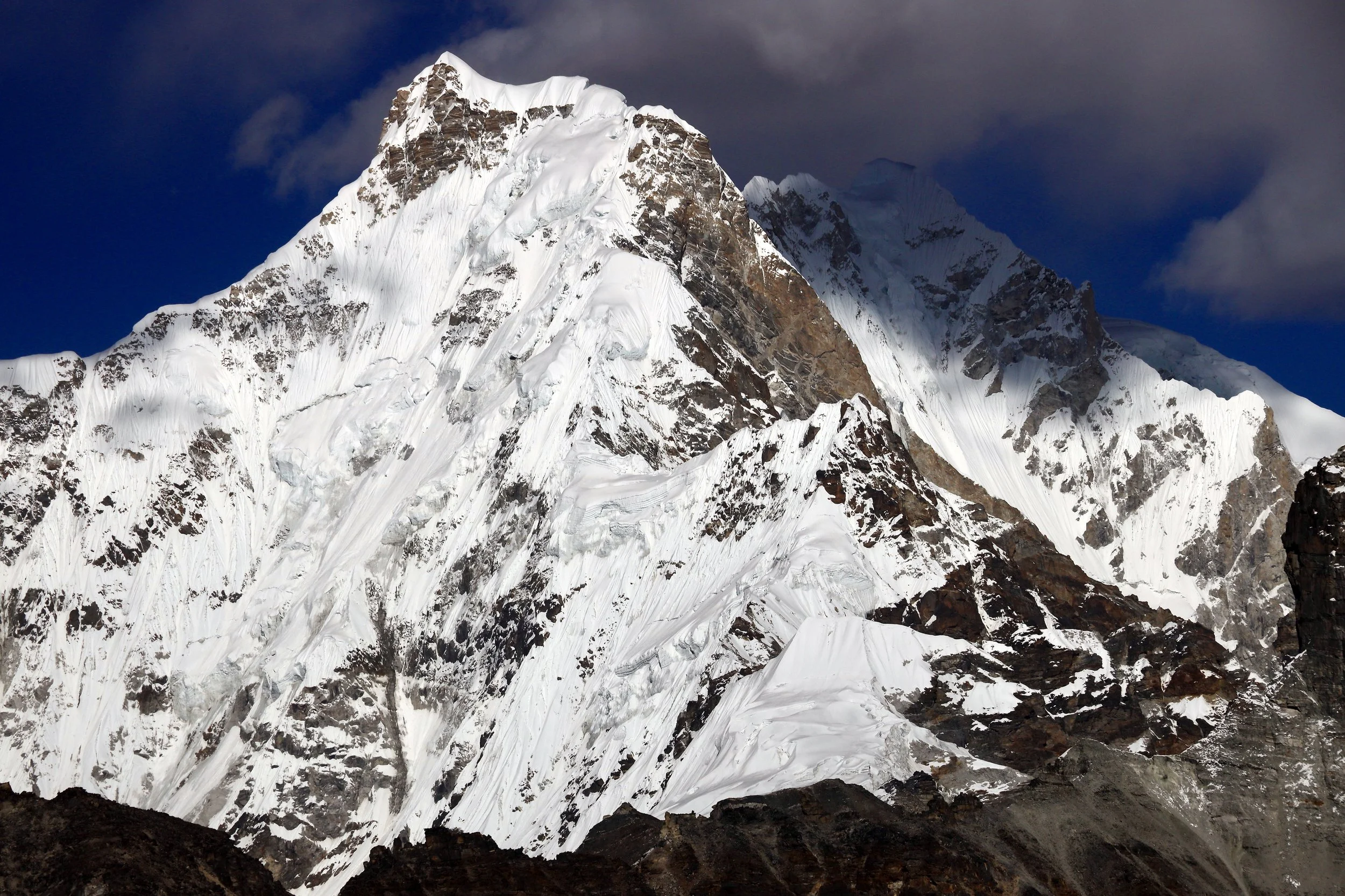
Cho Oyu
Cho Oyu (left) and Ngozumpa Kang 1 7905m
Gyachung Kang 7952m
Cho Oyu
Cho Oyu
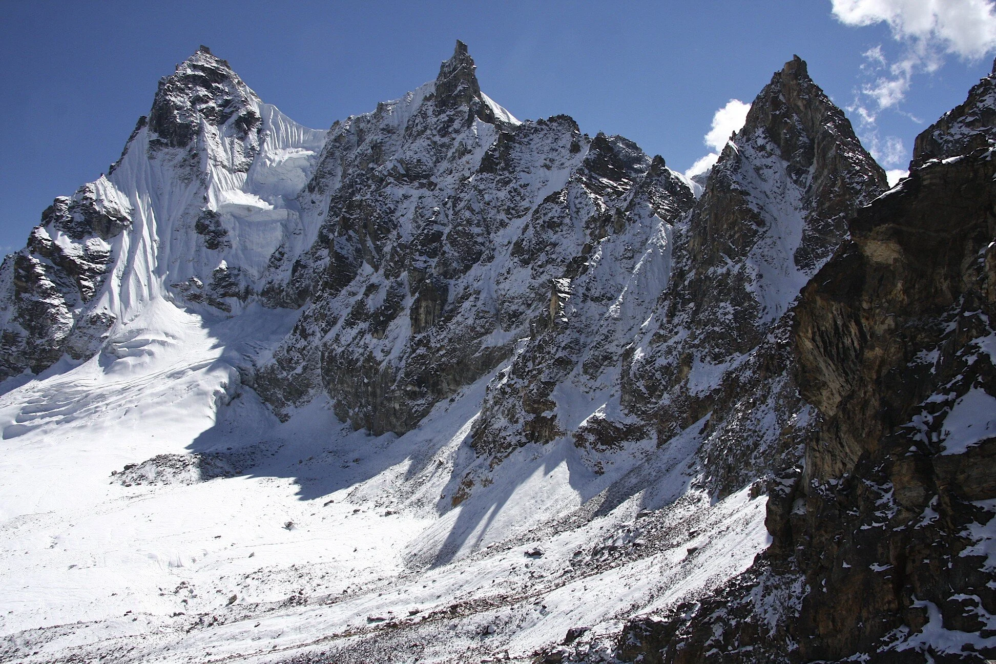
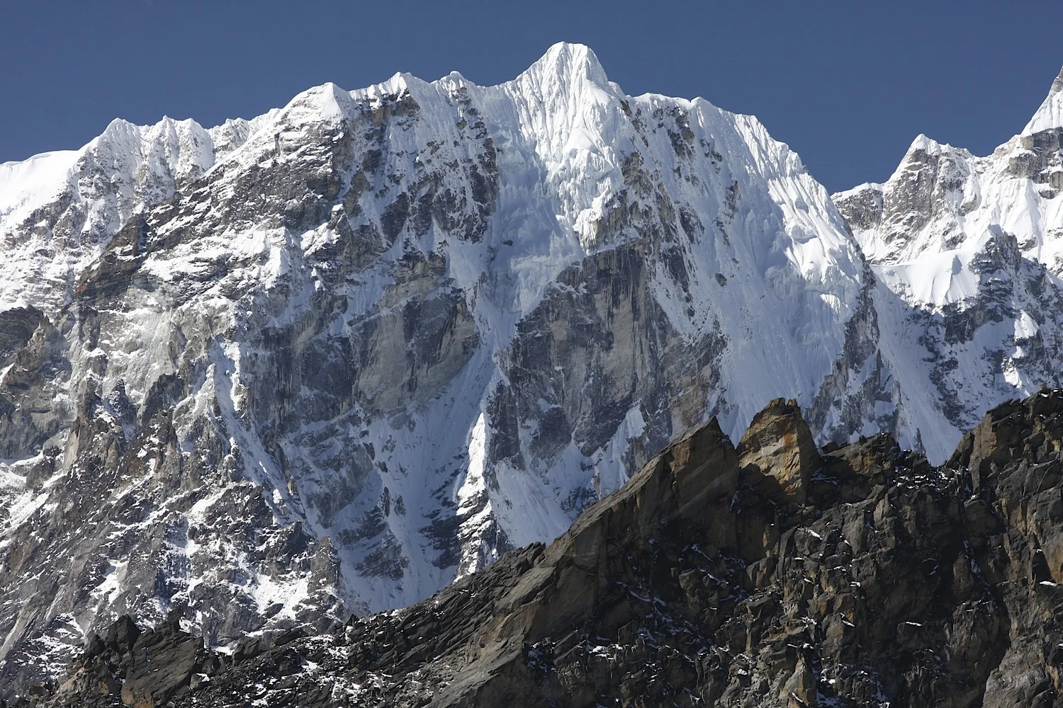
The ridge of Cho Oyu
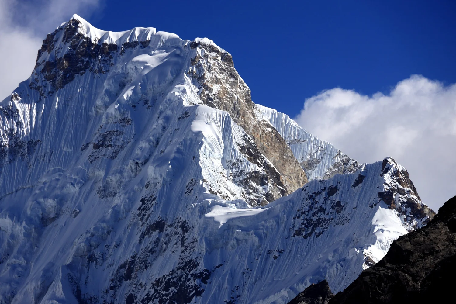
Gyachung Kang 7952m
Gyachung Kang 7952m
Gyachung Kang 7952m
Ngozumpa Kang III 7660m
Kangshung East and West, 6000m peaks
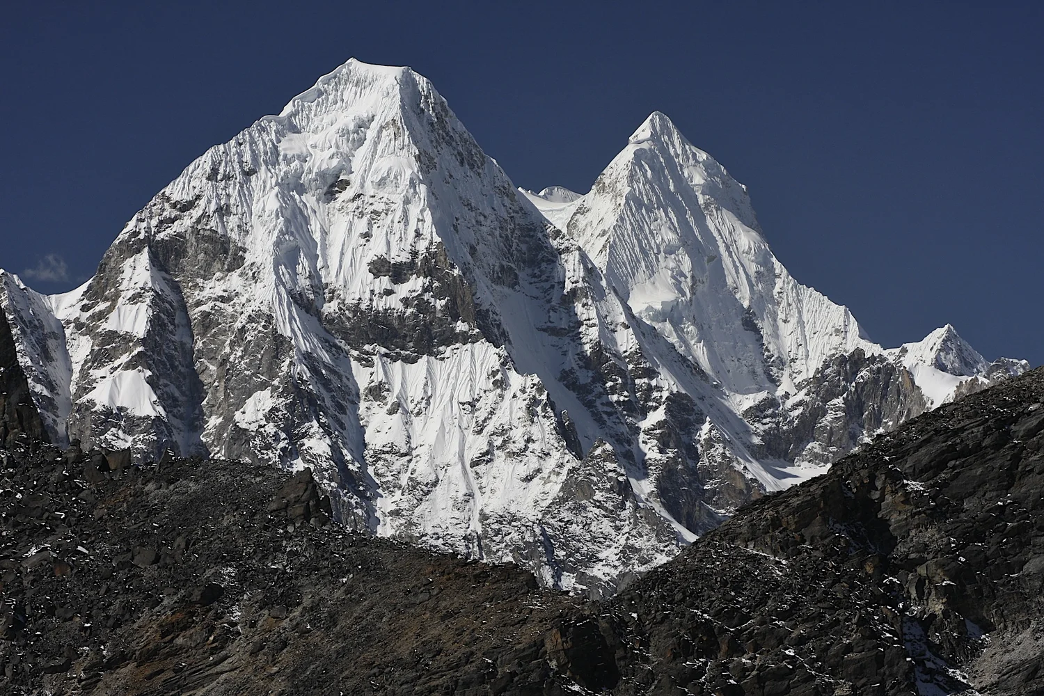
On the left is Cho Oyu. On the right is Ngozumpa Kang 1 7905m.
Cho Oyu
Cho Oyu
Ngozumpa Kang 1 7905m
Cho Oyu
Cho Oyu
Gyachung Kang 7952m
Gyachung Kang 7952m
Cho Oyu
Cho Oyu and Gyachung Kang 7952m
Gyachung Kang 7952m
Top of Gokyo Ri
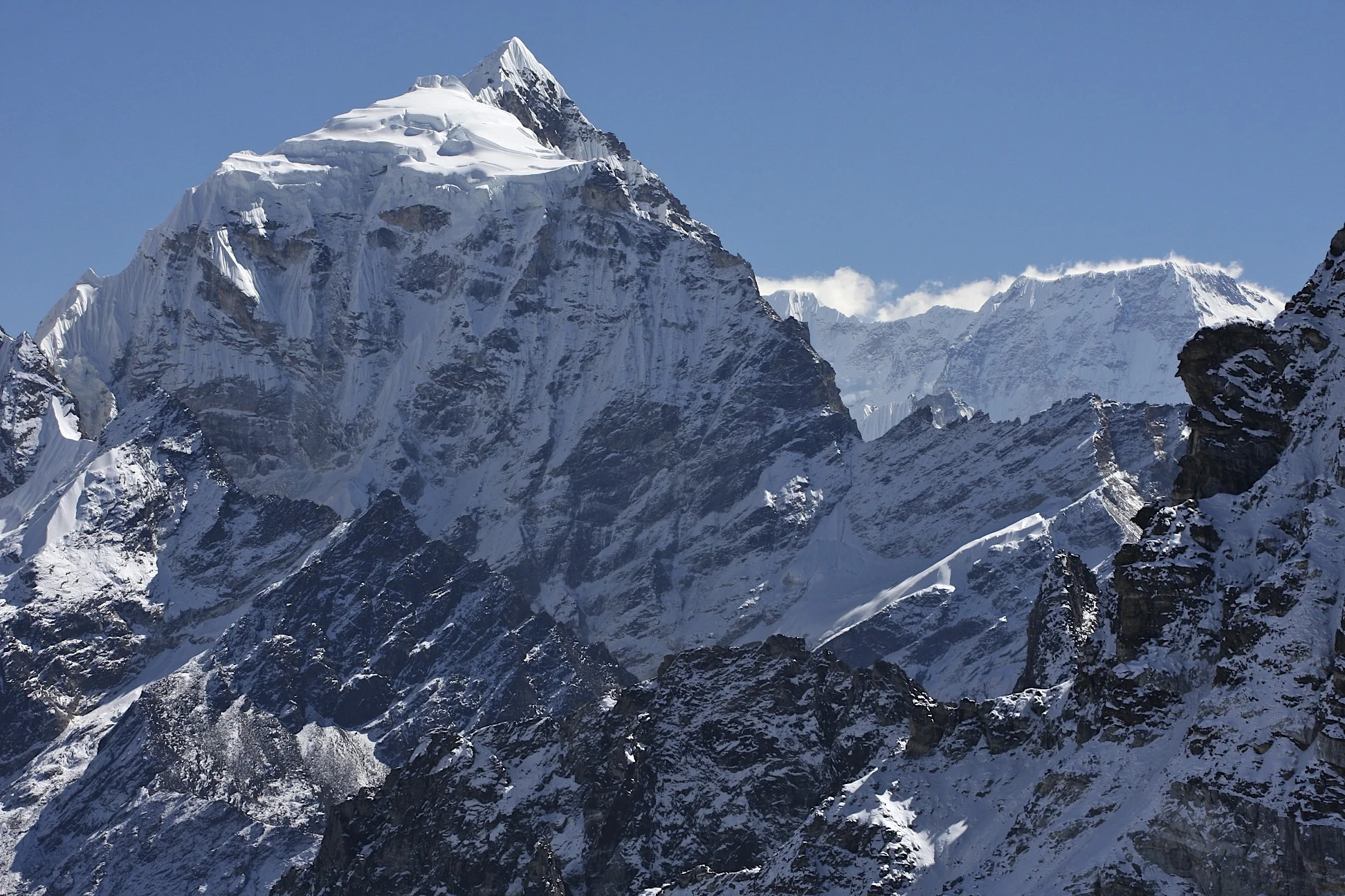
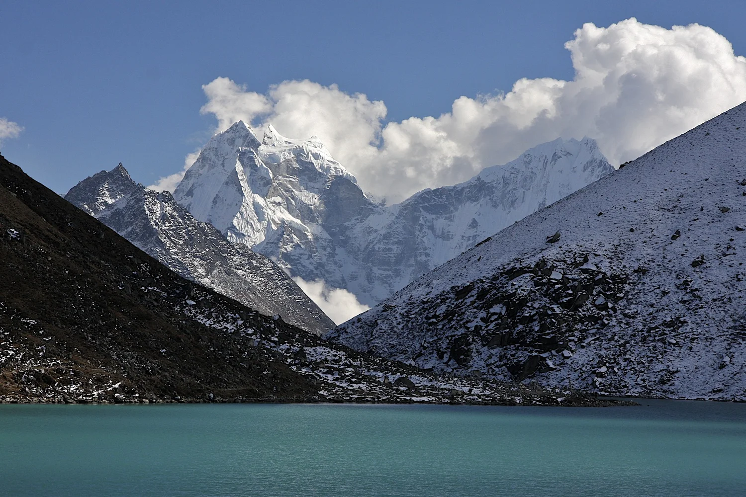
Gokyo and Cholatse
Gokyo
Gokyo from Gokyo Ri
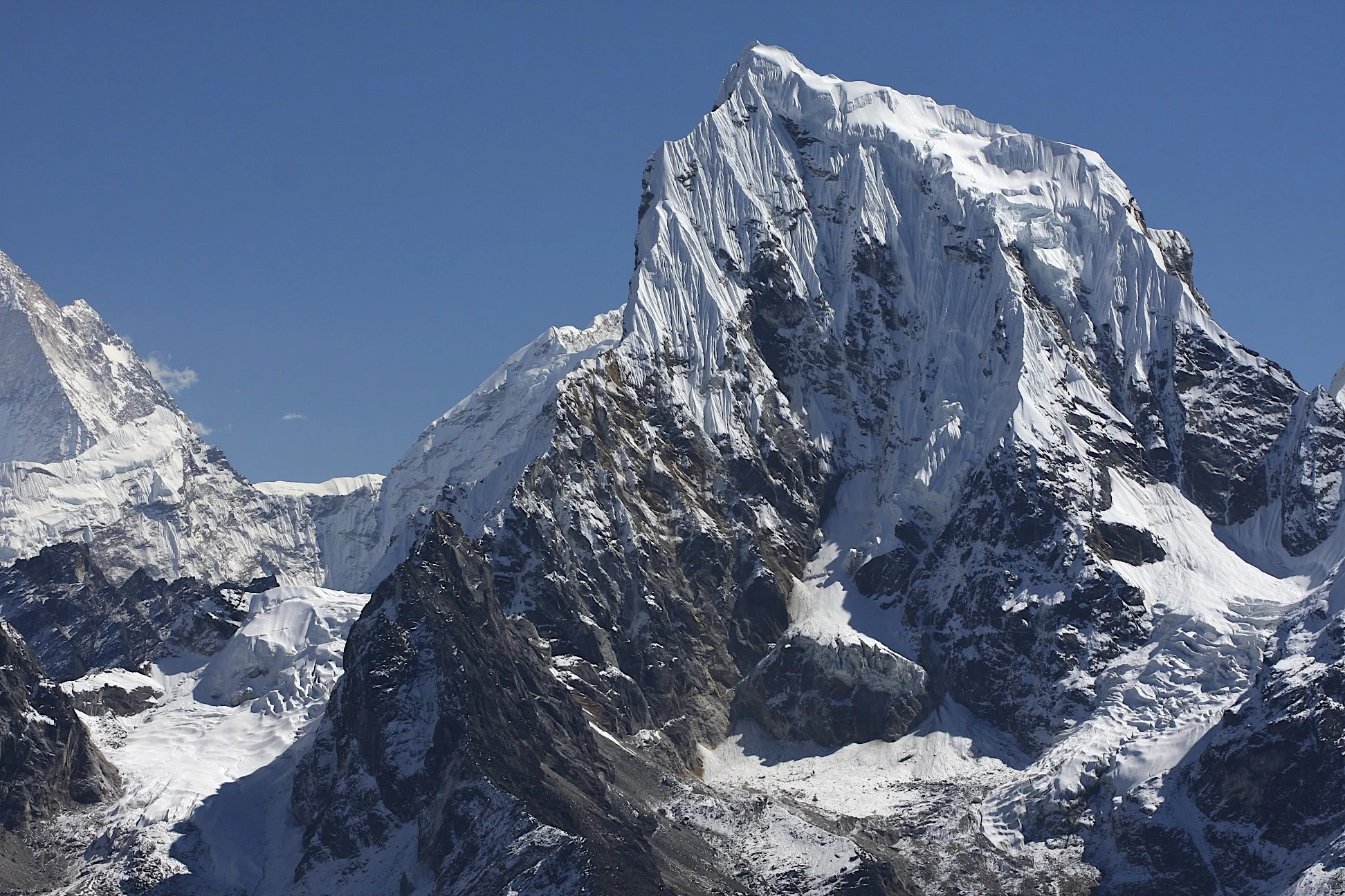
Cholatse
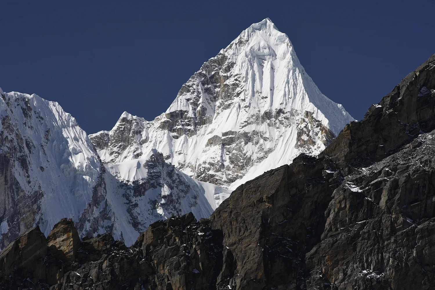
Cholatse 6423m
Gyachung Kang 7952m
Cho Oyu from Gokyo Ri
Renjo La from Gokyo Ri
Sumna Pass from Gokyo Ri
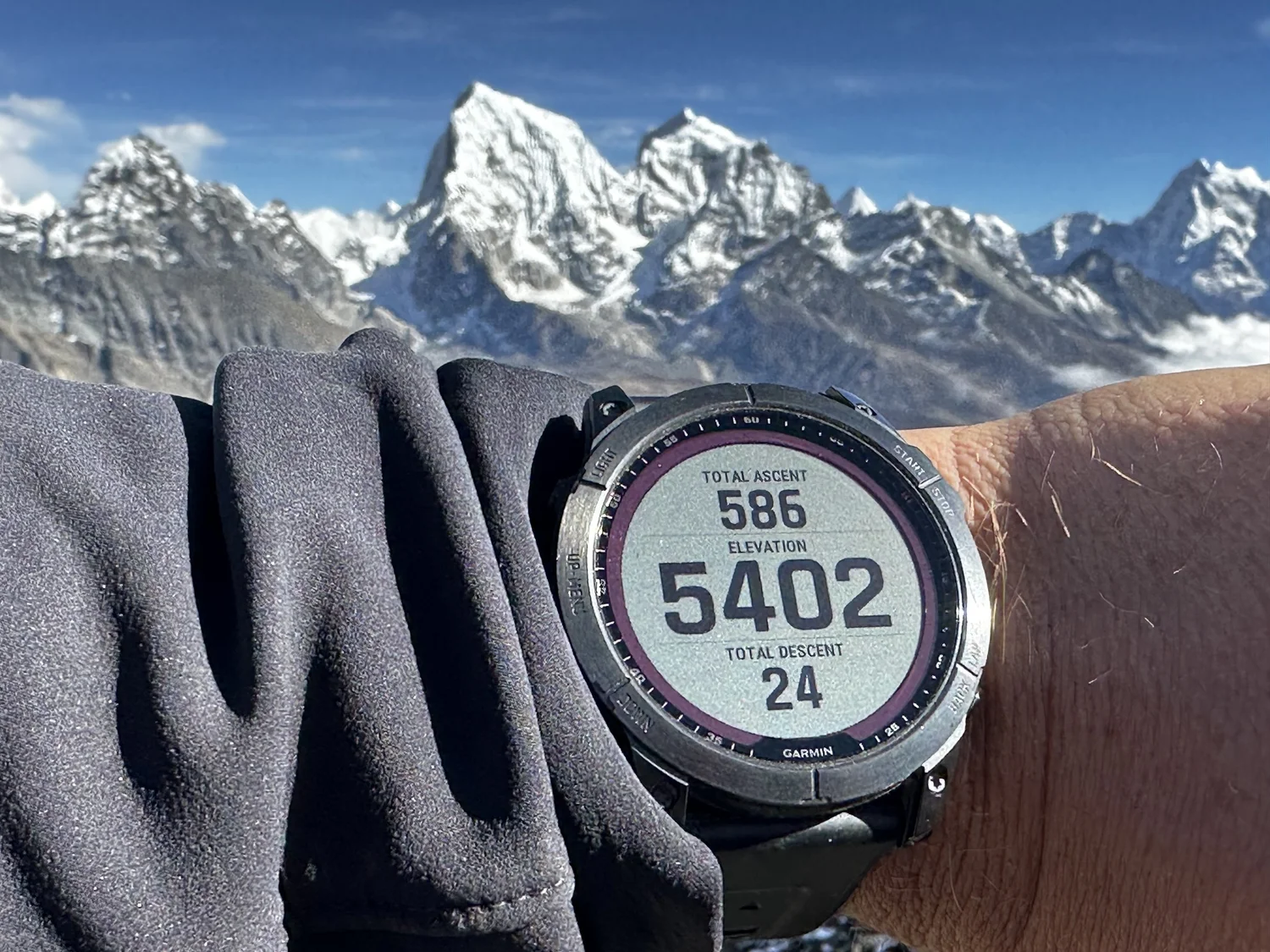
Gokyo Ri elevation (add another 100m)
Kayo Ri 6151m (on the right)
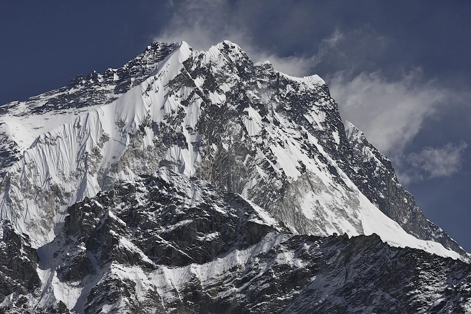
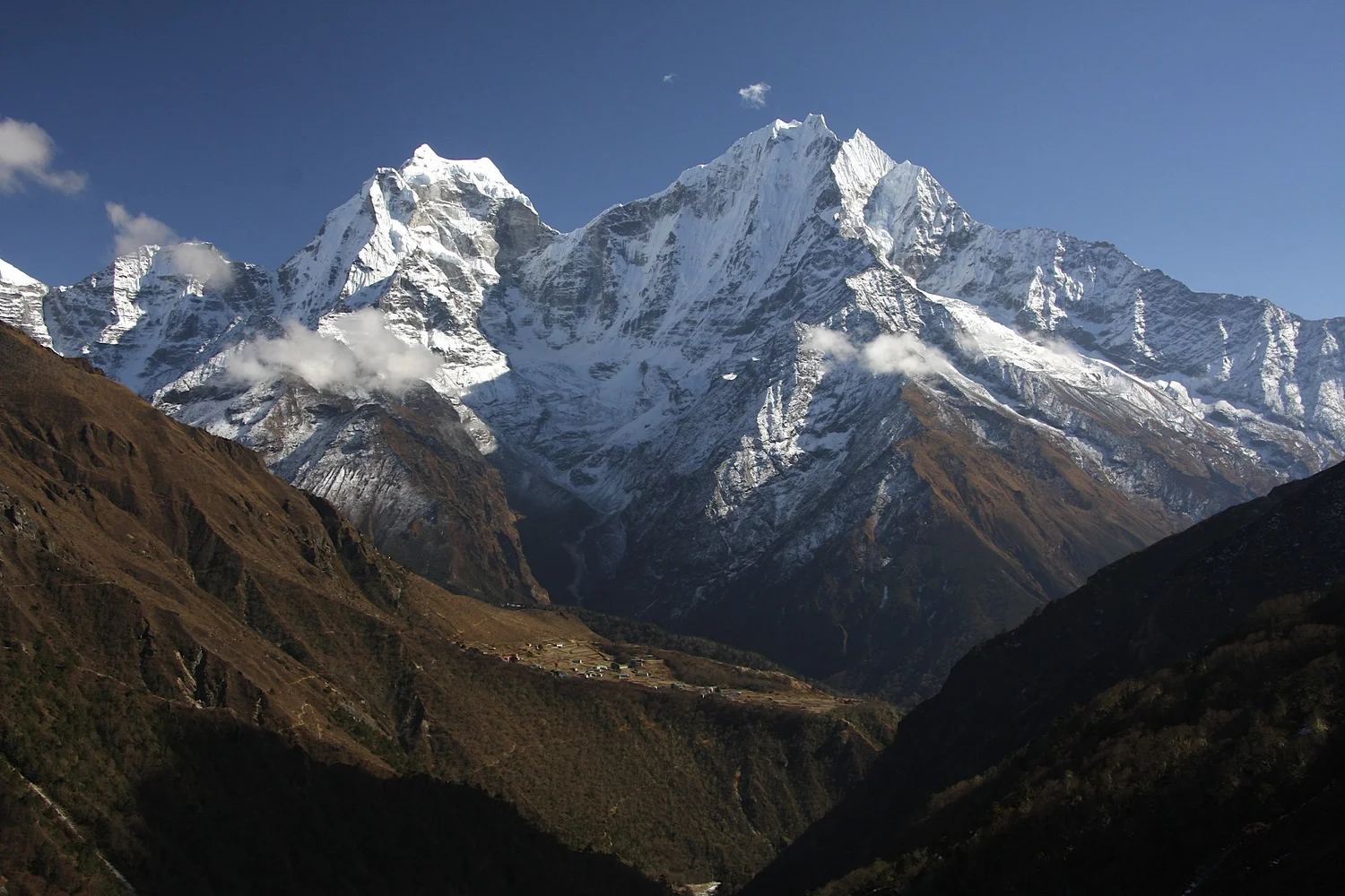
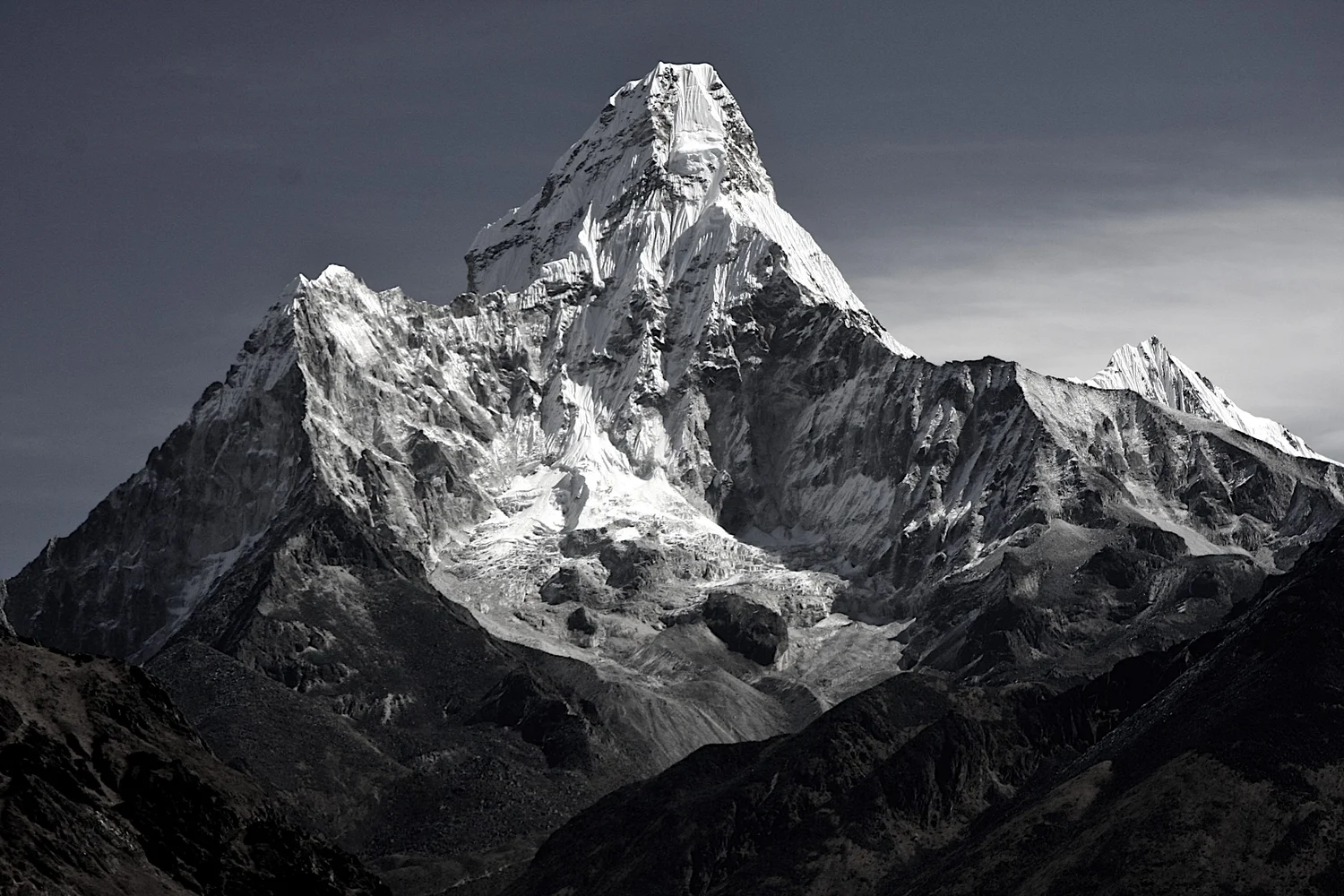
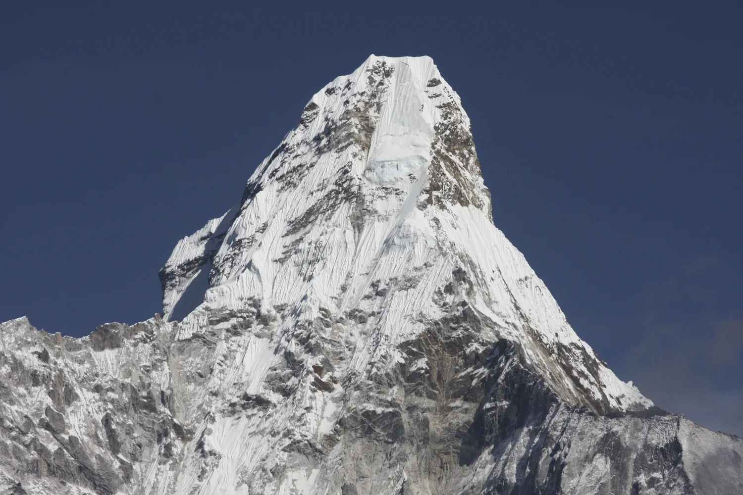
Ama Dablam
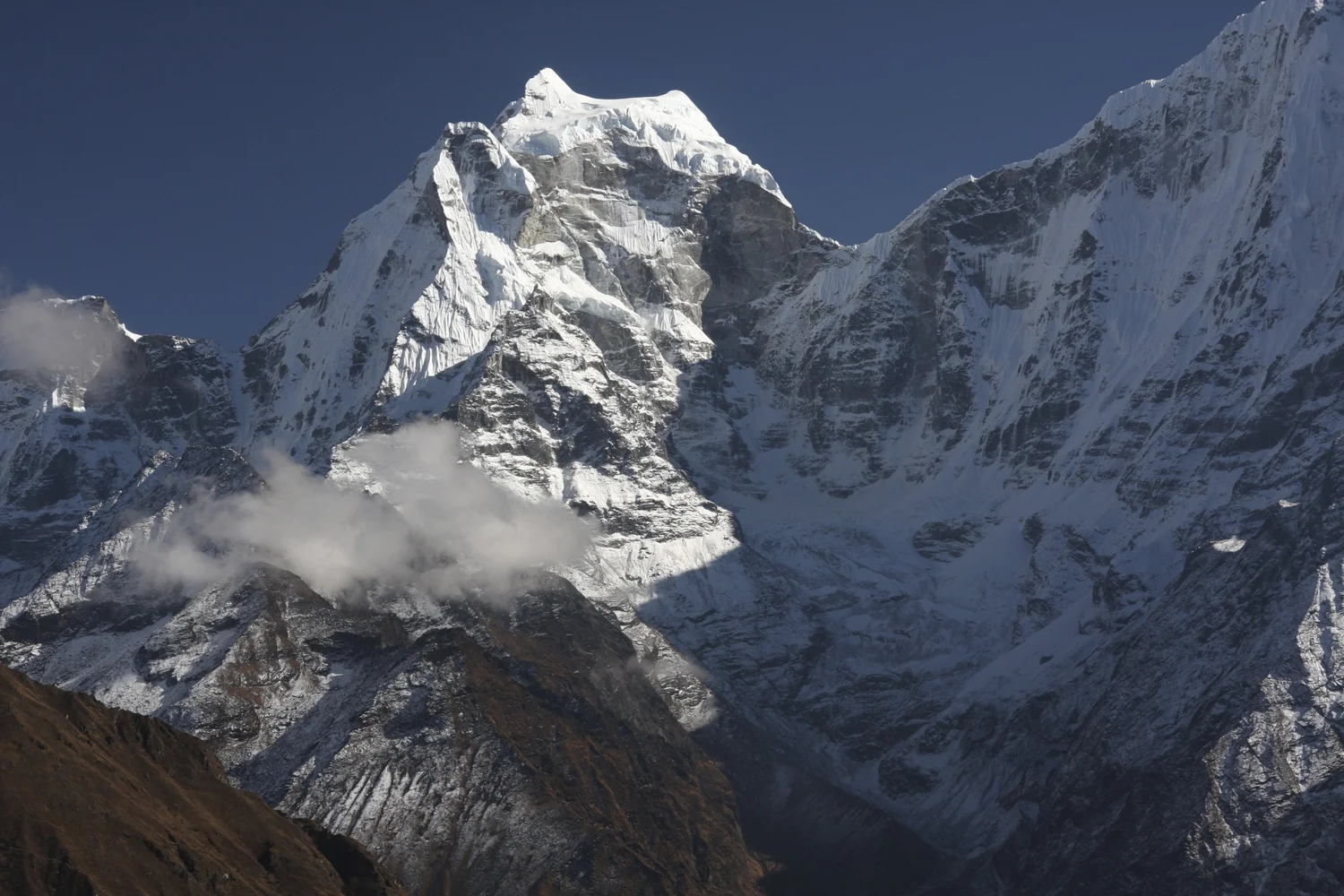
Ama Dablam the summit pyramid
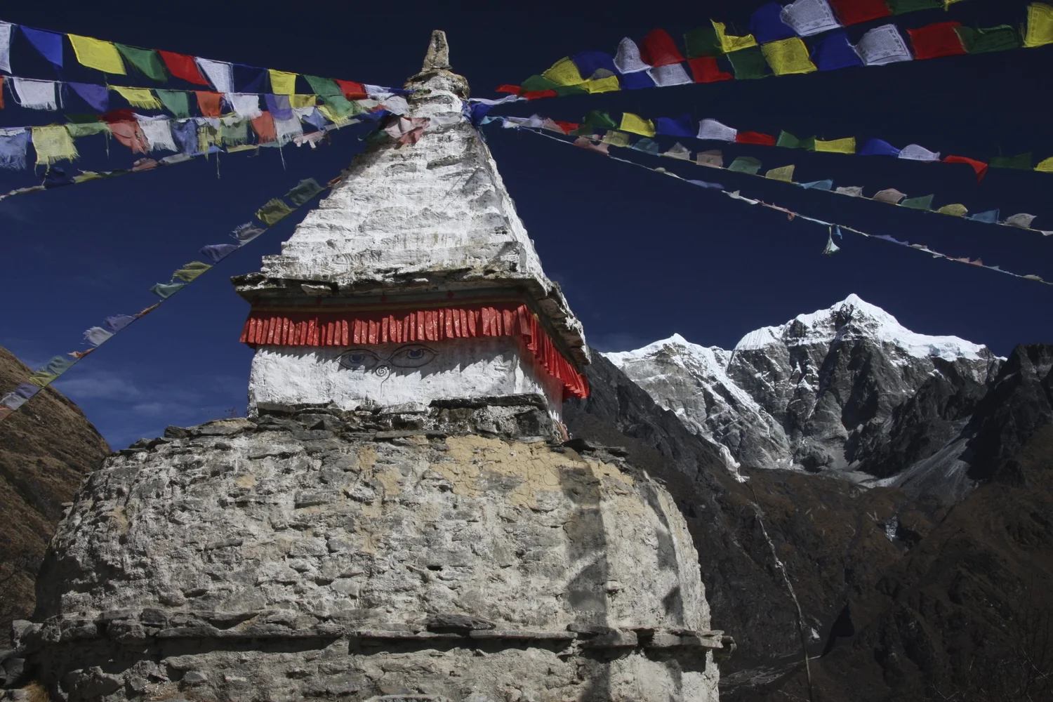
The Teshi Labtsa Pass from above Namche
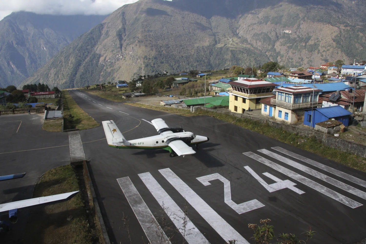
Lula airstrip
Join the discussion
Share thoughts, tips, or questions about this trip.
Please keep it kind and relevant.
All Trips and Adventures by Year
A chronological archive of trip reports, photo essays, and route notes across decades.
2026
2025
2024
- Mon - Bhutan
- Bhutan - Snowman Trek Part 1
- Bhutan - Snowman Trek Part 2
- Bhutan - Snowman Trek Part 3
- North of 60º - Polar Adventures
- East Greenland 66º North
- On the Trail of Teutonic Order Castles in Northern Poland
- Wolfsschanze Hitler's HQ, Ketrzyn Poland and Peenemunde WW2 V1/V2 Research Centre in North Germany
- Central Mexico - Mexico City, Puebla and Teotihuacan
- Venezuela - Orinoco River Delta
- Venezuela - Mount Roraima Trek 2810m
- Venezuela - Angel Falls
2023
2022
- Nepal Solukhumbu - Sumna Pass and Lobuche East trip summary
- Nepal Khumbu and Kangchendzonga from the Air
- Nepal Solukhumbu Sundar Peak 5000m and Sumna Pass 5400m
- Nepal Solukhumbu Chola Pass 5450m Lobuche East Ridge 6090m
- Renjola La 5360m Gokyo Ri 5450m, and Cho Oyu BC Photos
- Iceland - Hellismannaleid, Laugavegur and Fimmvorduhals Trails
- The Yukon and the Alaska Highway
- Mount Robson
- Yellowstone National Park
- Grand Teton and Glacier National Parks
2021
- The Rockies of Alberta, Western BC and the Yukon
- Columbia Icefield from the Air
- Waterton Lakes National Park
- Colombia
- Los Nevados National Park Colombia
- Colombia Tayrona National Park
- Colombia Teyuna - Ciudad Perdida Trek (The Lost City)
- Mexico Pico de Orizaba 5,630m
- Mexico - Sierra Negra 4,650m and Izaccihuatl 5,350m
- Chitwan National Park Nepal
2020
2019
- The Grand Mustang Circuit - Part 1: Chame to Kagbeni via Thorong La Pass
- The Grand Mustang Circuit - Part 2: Kagbeni to Lo Mantang
- The Grand Mustang Circuit - Part 3: Lo Mantang to TeriLa Pass
- The Grand Mustang Circuit - Part 4: Terila Pass to Chame via Naar and Kangla Pass
- Kamchatka Trip Report
- Камча́тка, Russia - The Mutnowski and Gorely Volcanoes
- Камча́тка, Russia - The Tolbachik Volcano Circuit and Volcano Bezimienny
- Russia Far East - Sakhalin, Vladivostok, Petropawlowsk-Kamchatsky
- Taiwan
- Ancohuma 6,427M Bolivia
- Huayna Potosi 6,088m Bolivia
- Ausangate Trek Peru
- Yellowstone National Park in Winter 2019
2018
- Calgary Mountain Film Festival
- Langtang, Tilman Pass and Ganjala Trip Report
- Langtang Trek - Tilman Pass
- Langtang Trek - Ganjala Pass
- Paria River Wilderness - USA, Utah
- Slot Canyons - USA, Arizona
- Bryce National Park - USA, Utah
- Zion National Park and Cedar Breaks - USA, Utah
- Norway
- Poland - The Slav and Viking Festival in Wolin
- Iceland
- Bolivia Cordillera Real and Sajama National Park
- Bolivia - Tiwanaku and La Paz
- Togo and Benin
- Benin - Egungun Masquerade
- Benin - Voodoo Festival
- Ghana - The Gold Coast and the Land of the Ashanti
2017
- Annapurna Basecamp and Annapurna Sanctuary Photos
- Annapurna Sanctuary Trip Summary
- Dhaulagiri Basecamp Trek, Dhampus Pass - Trip Summary
- Dhaulagiri Circuit Photos - Nepal
- Peru Central - Huaraz, Cordillera Blanca and Chavin de Hauntar
- Peru South, Sacred Valley - the Land of the Incas, Rainbow Mountain and Lima
- Mt. Brazeau and Maligne Lake in Jasper National Park in Alberta, Canada
- China Shanghai Beijing Wuhan
- Papua New Guinea
2016
- China Far West - Kashgar and Shiphton Arch
- China Far West - Pamir and The Tajik Games
- K2 Basecamp North, Shaksgam Valley Trip Summary
- Chinese K2 (BC North), Shaksgam Valley - Chinese Karakoram
- North Peru Chachapoyas Trip Report
- Peru North - Kuelap, Chachapoyas and Royal Tombs of Sipan
- Wapta Icefiled Area, Alberta, Canada
- The Caribbean and the Panama Canal
- China Far West - Ancient Silk Road Trip Summary
- China Far West - Ancient Silk Road
2015
2014
2013
2012
2011
2010
2009
2008
2007
2006
2004
2002
2001
1996
Get new trip reports when they land
One email when a new story is published. No noise. Just the trail.