Wapta Icefiled Area, Alberta, Canada
August 9, 2016
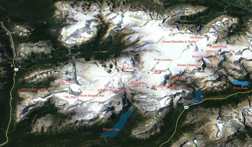

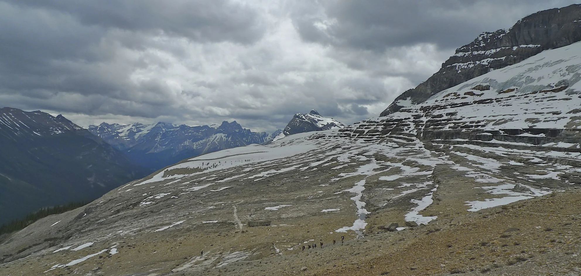
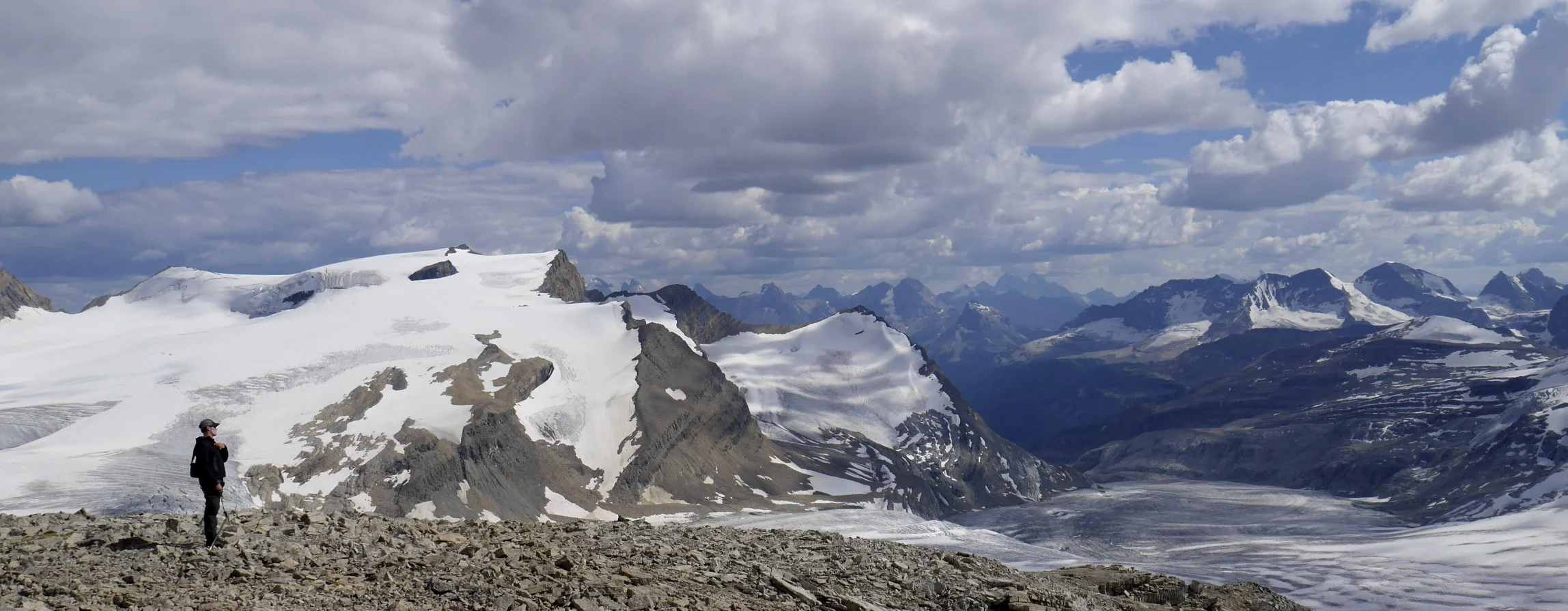
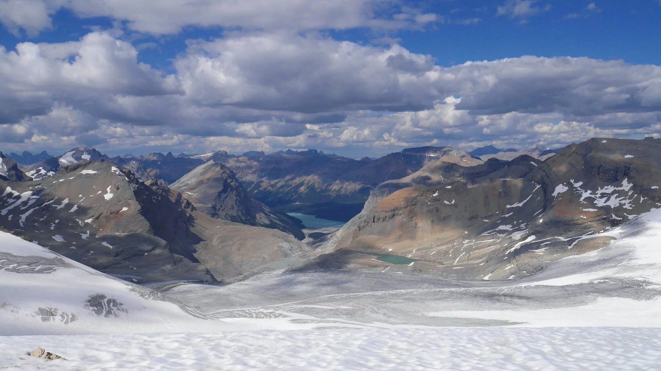
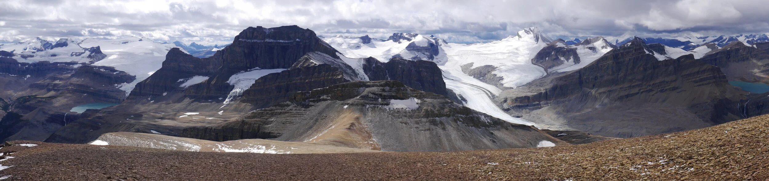
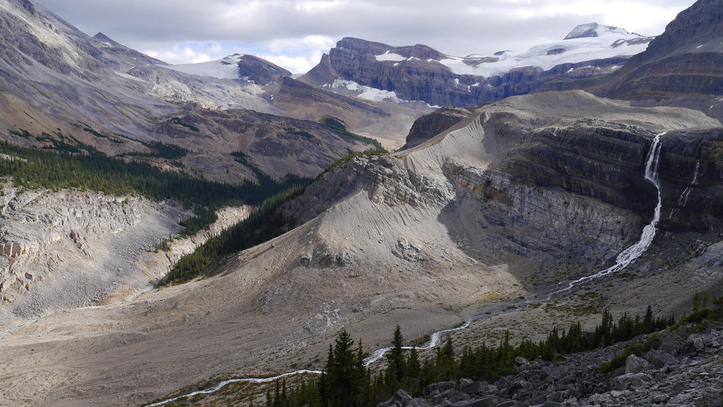
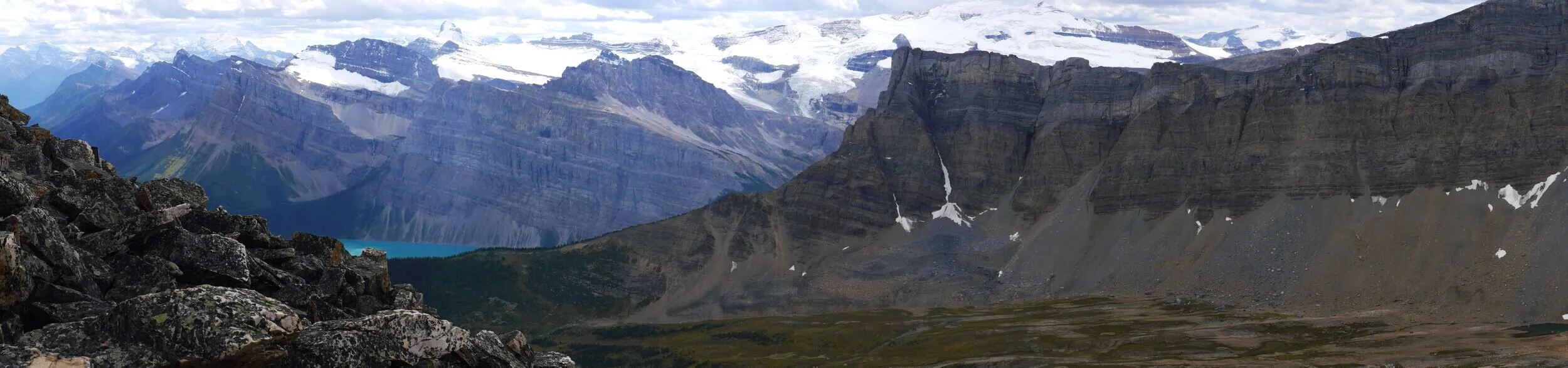
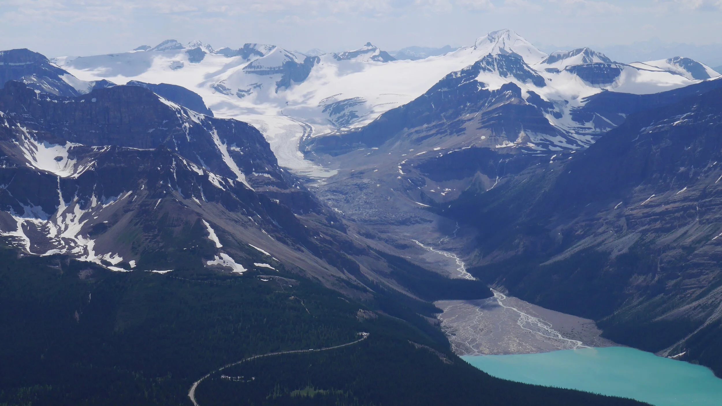
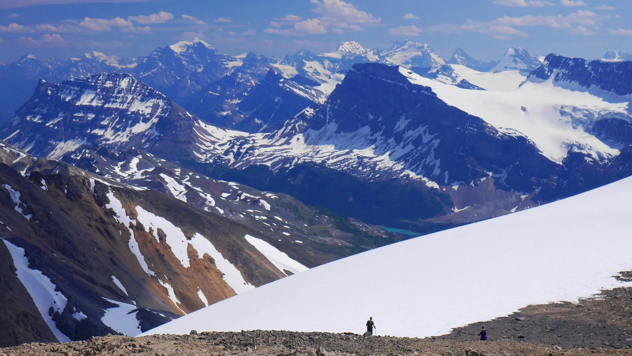
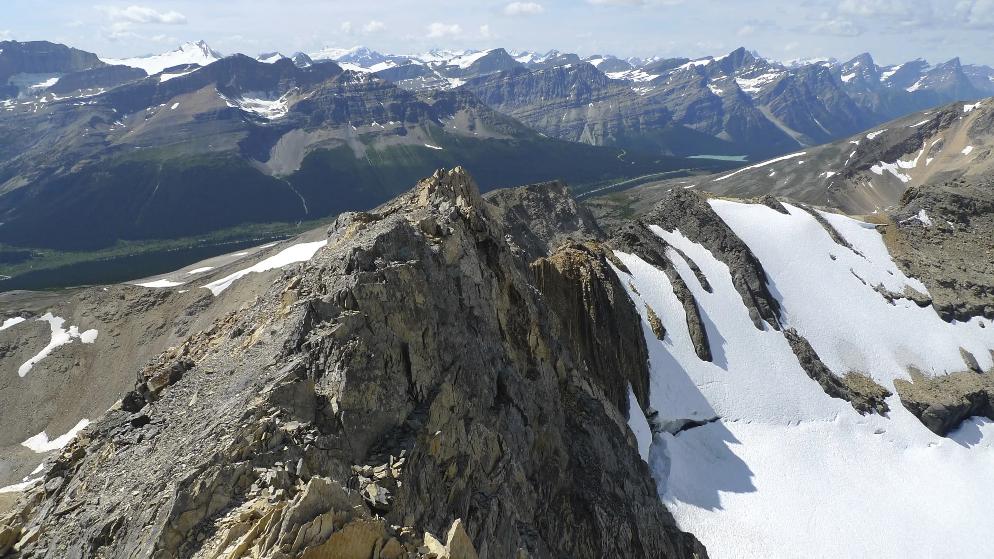
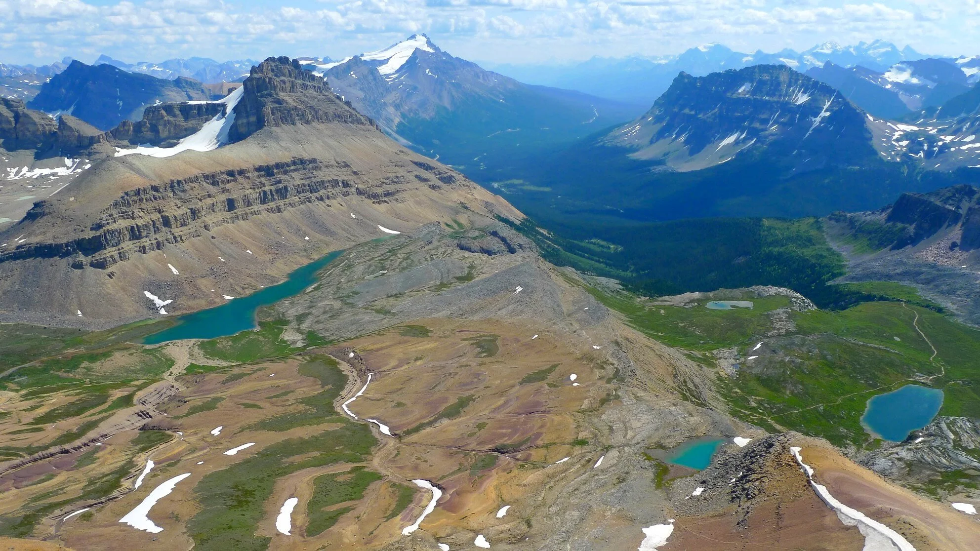
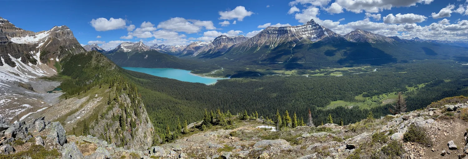
The overview of the Wapta Icefiled area.
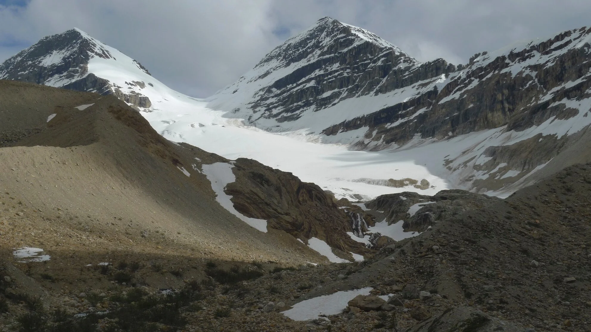
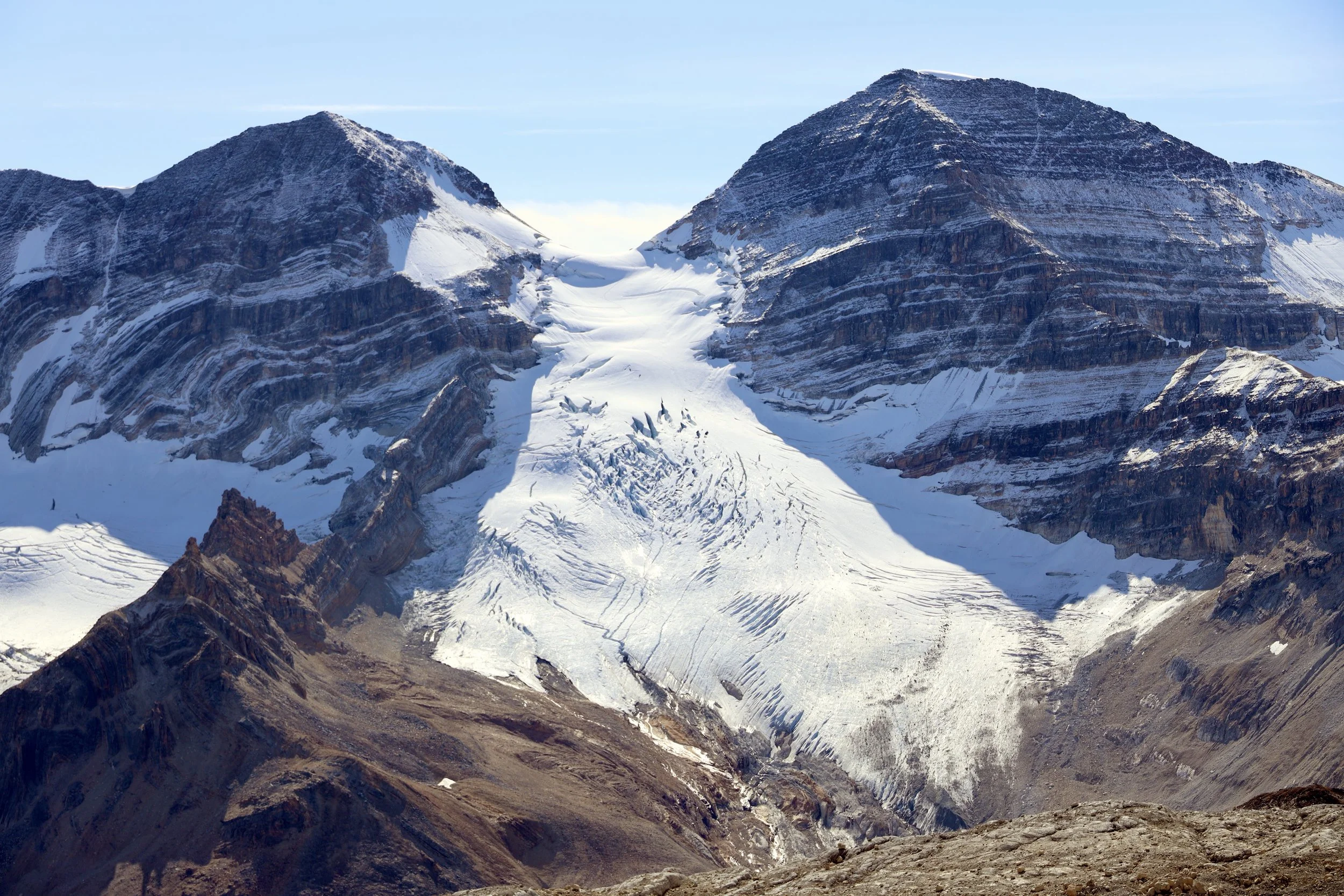
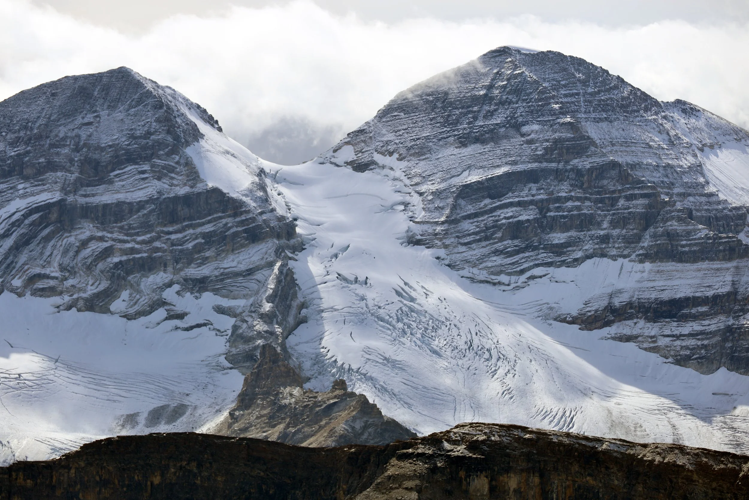
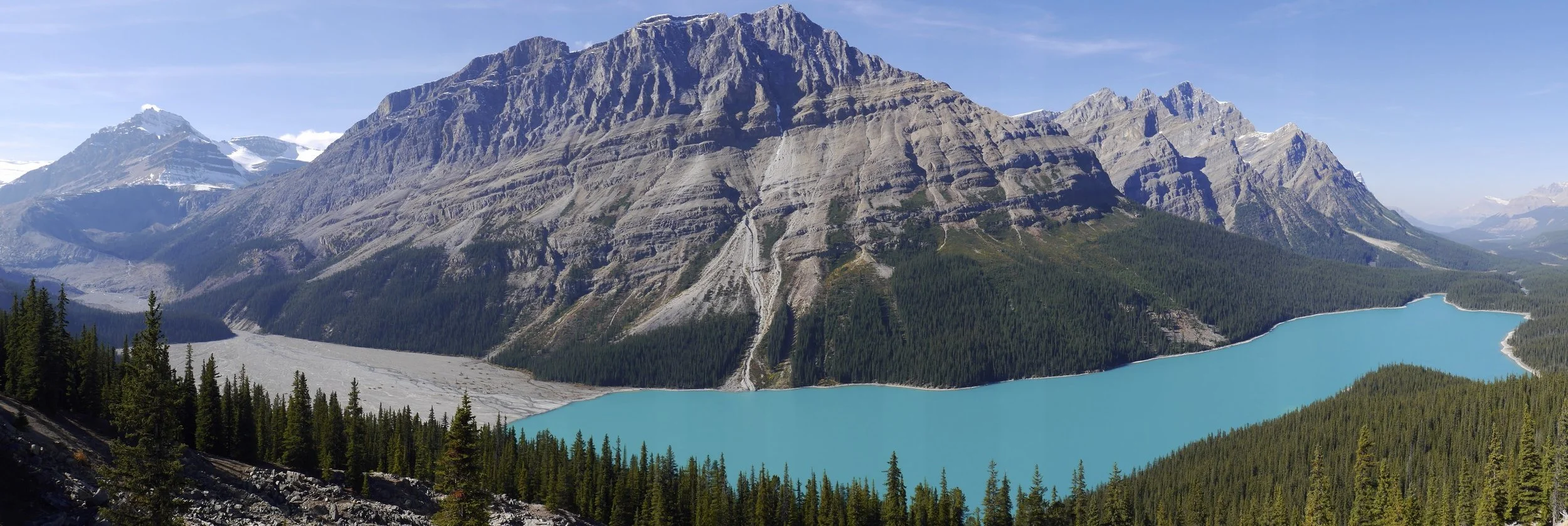
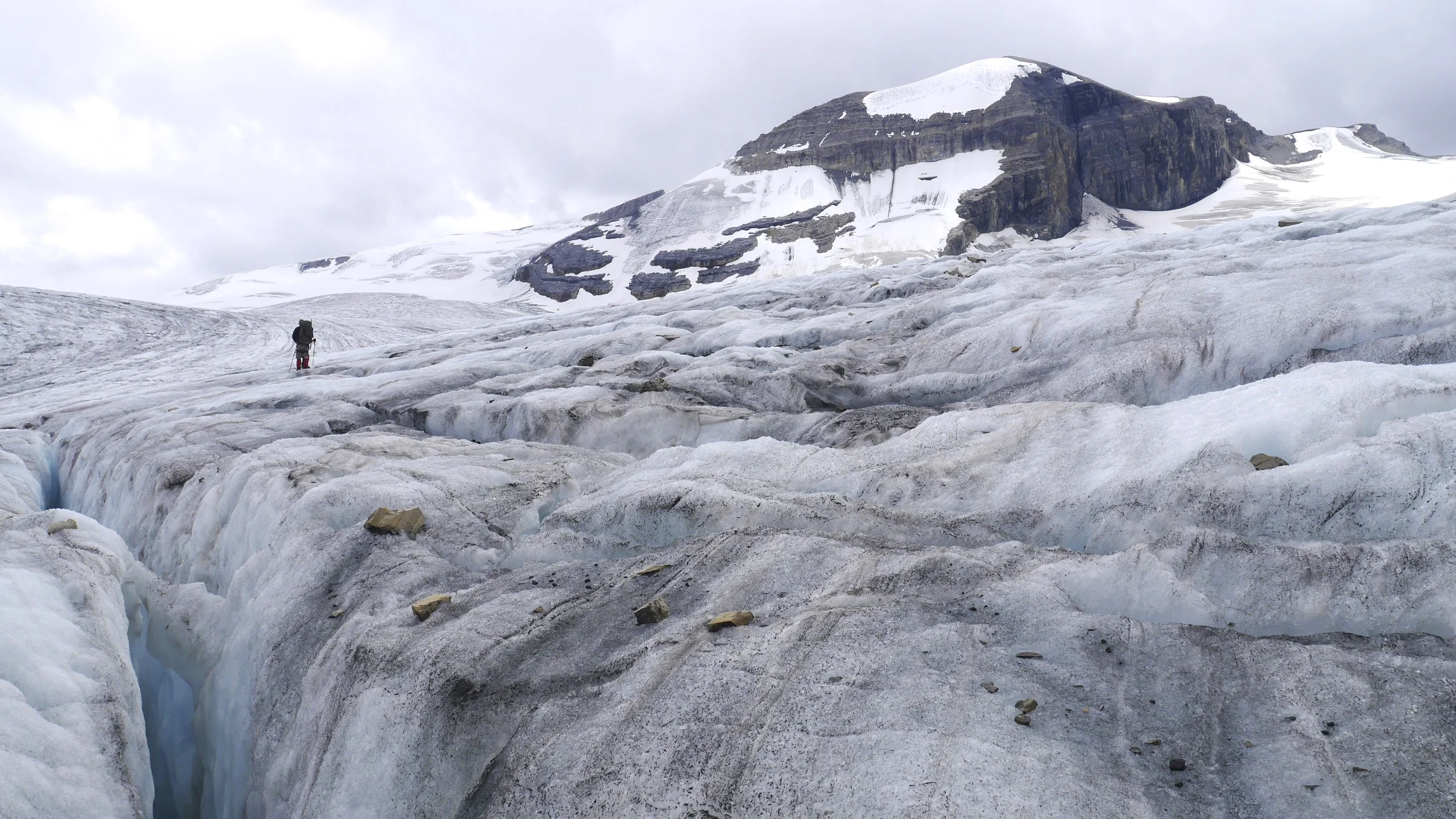
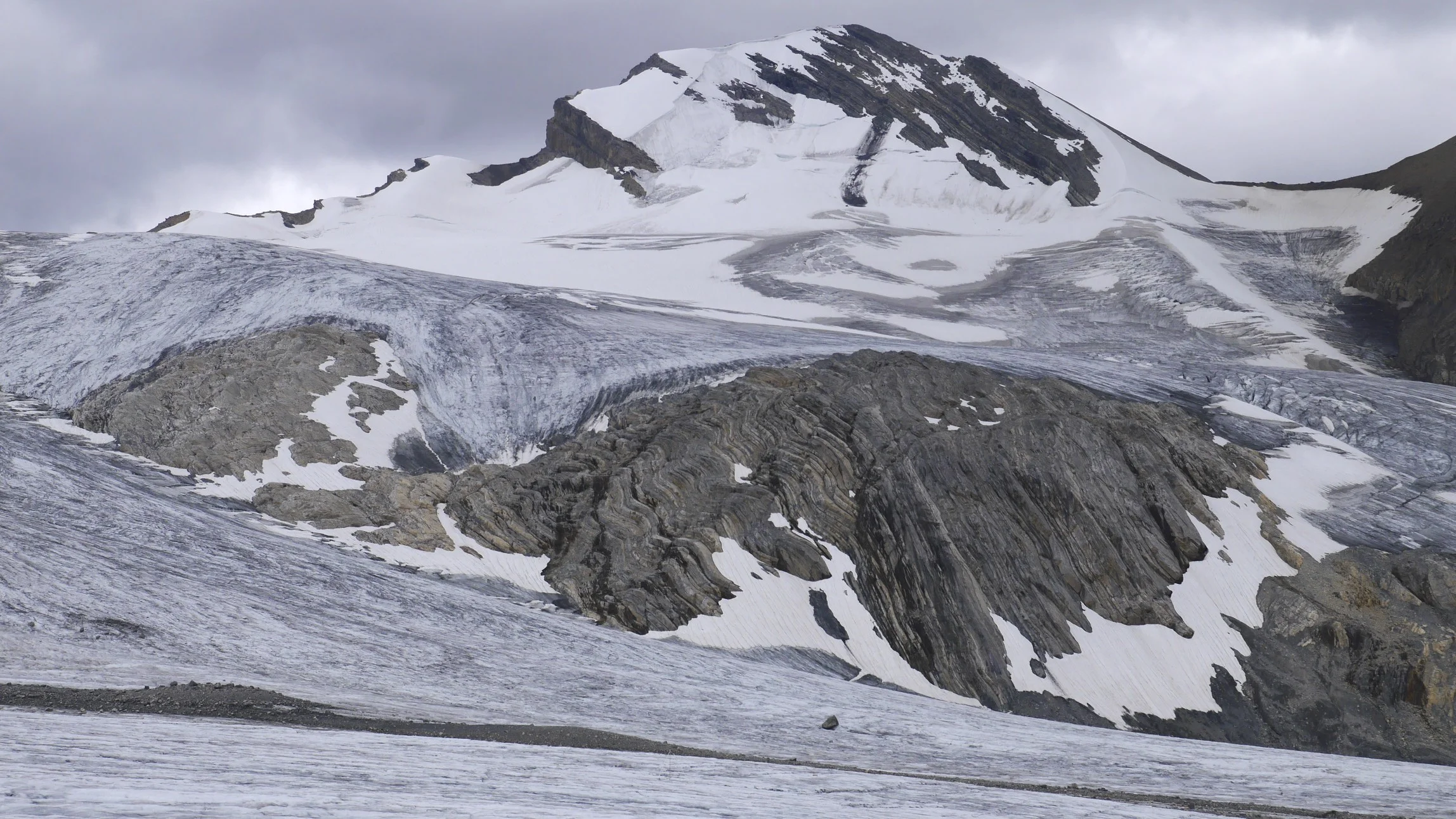
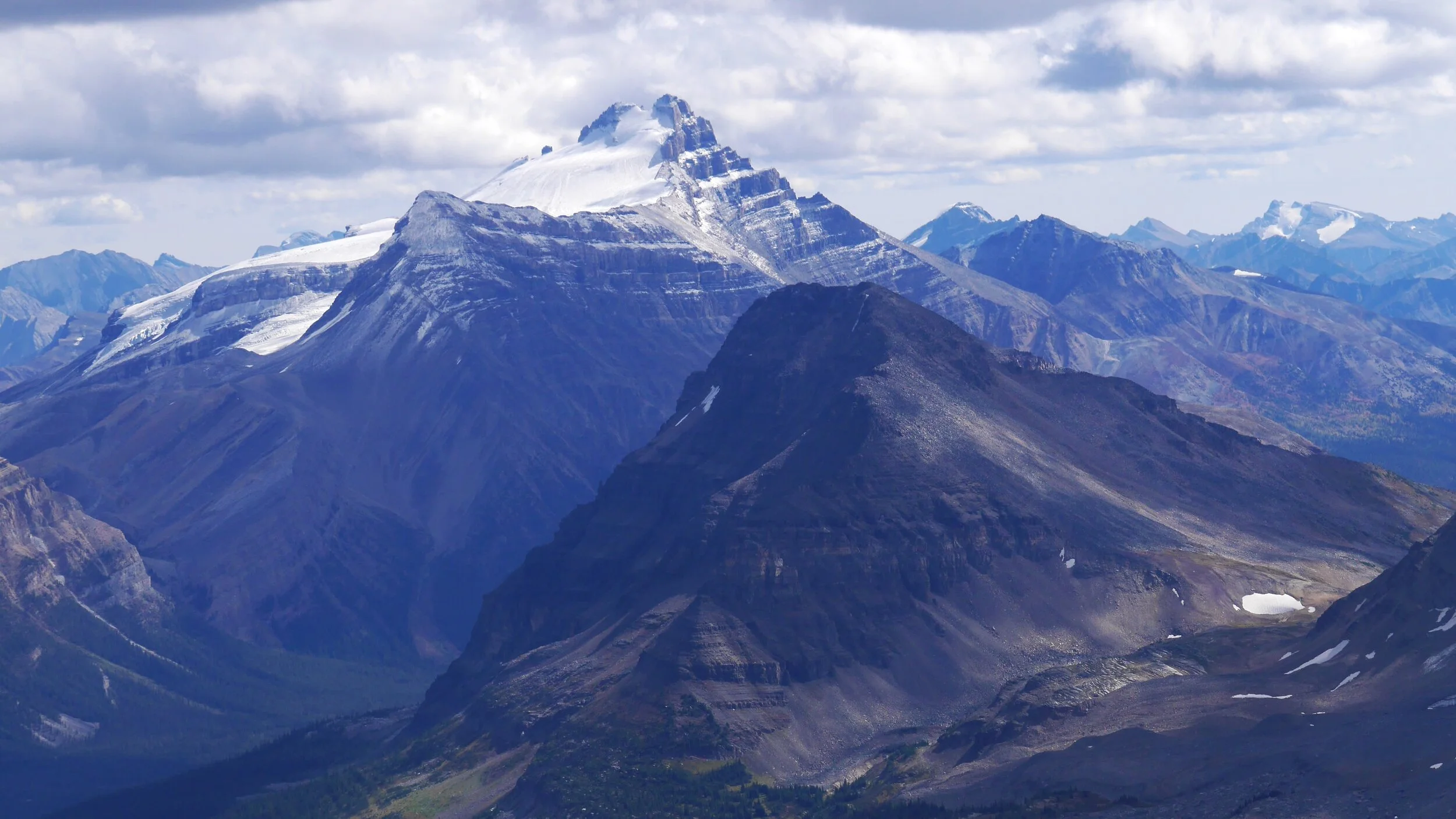
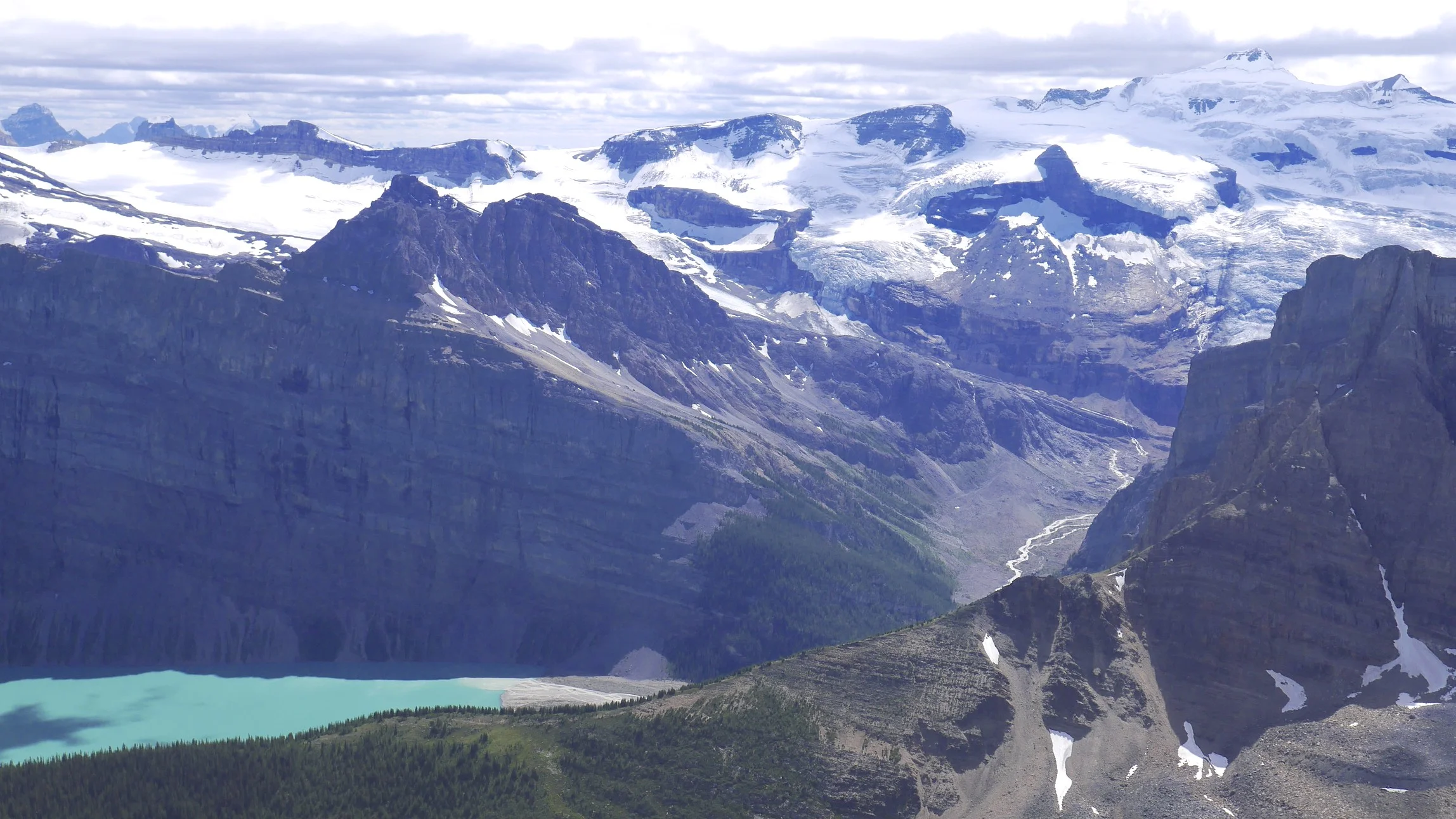
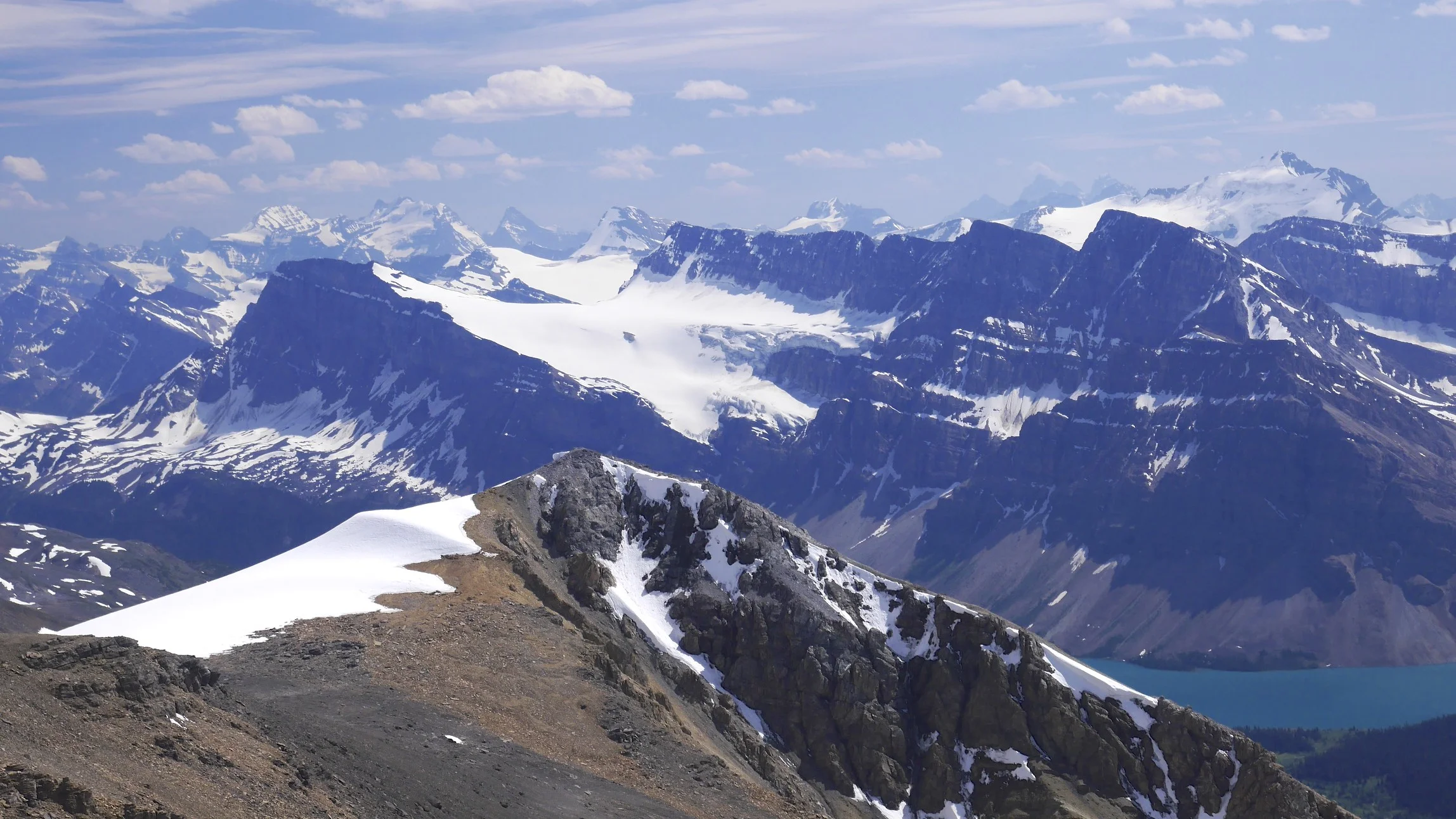
Peyto Peak and Peyto Glacier
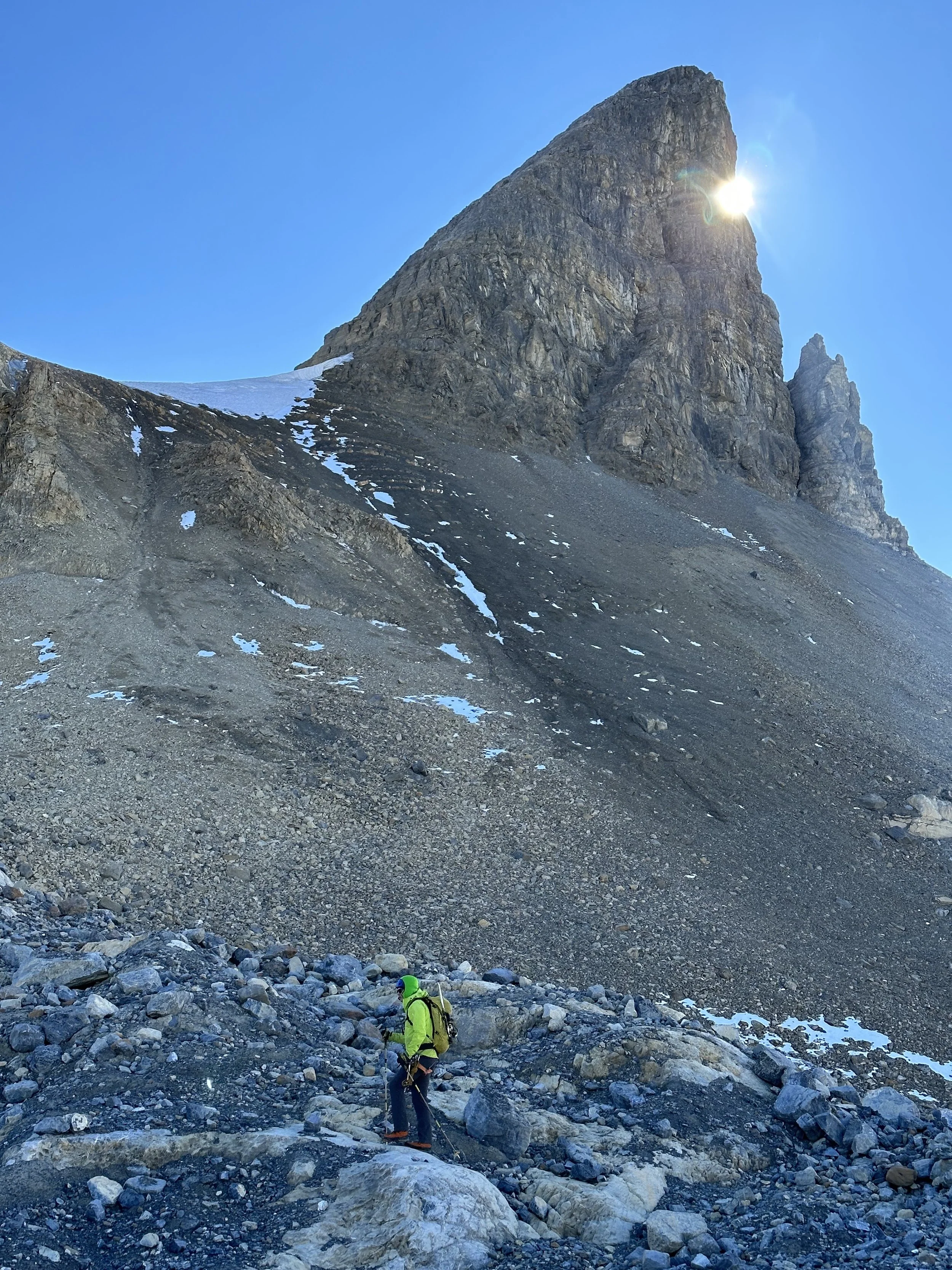
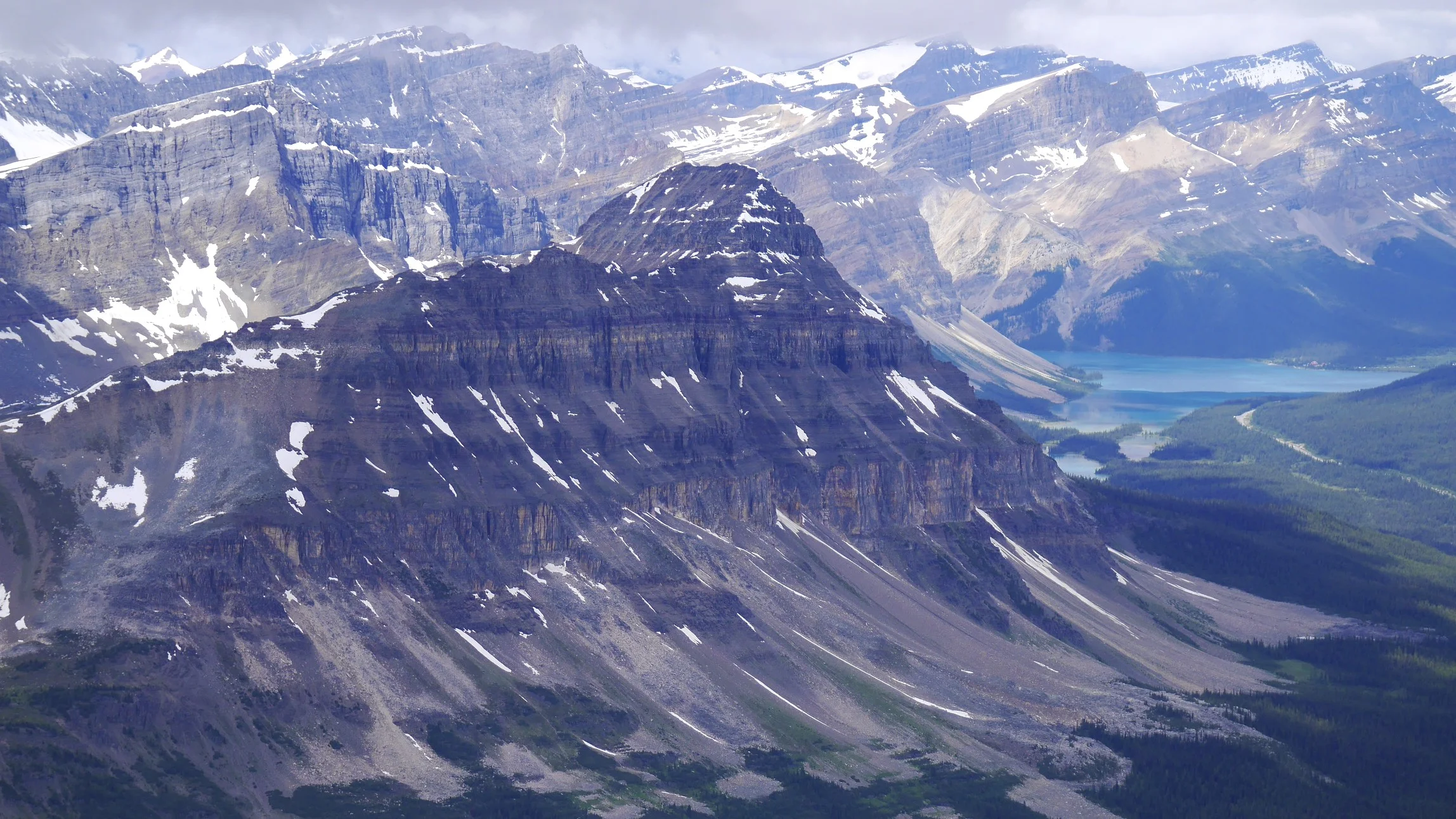
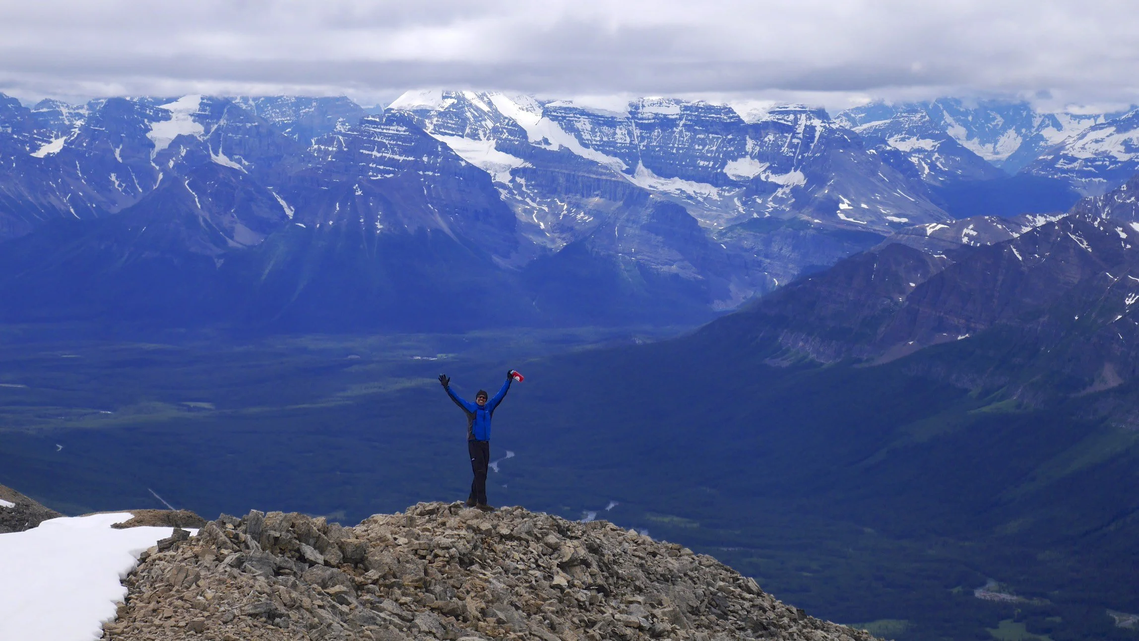
Peyto Peak
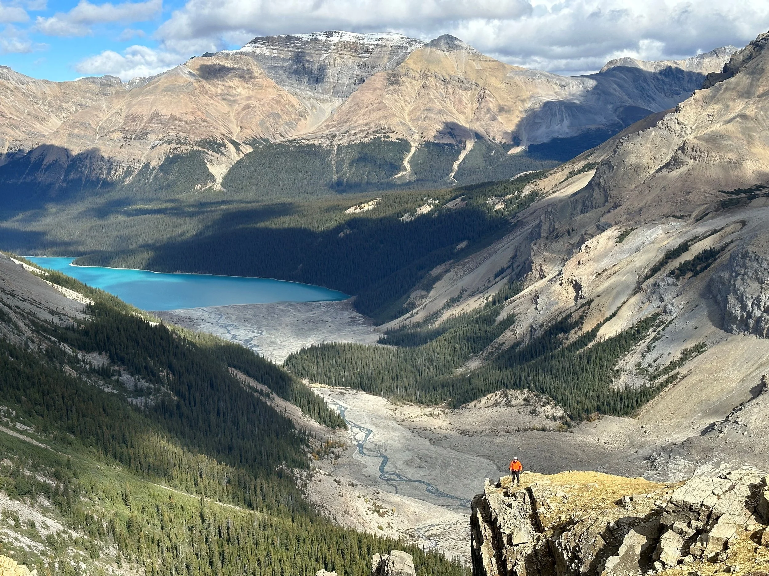
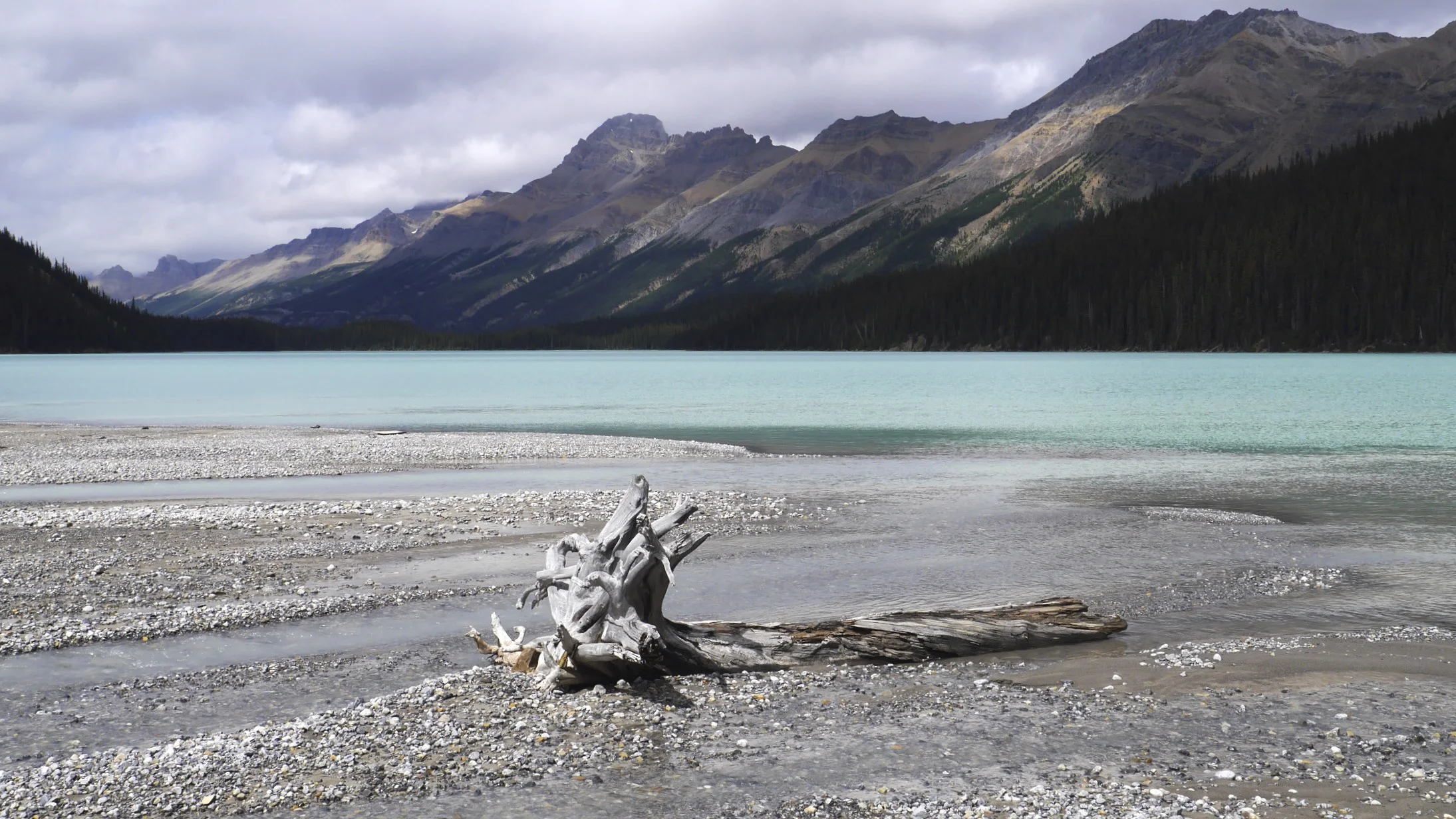
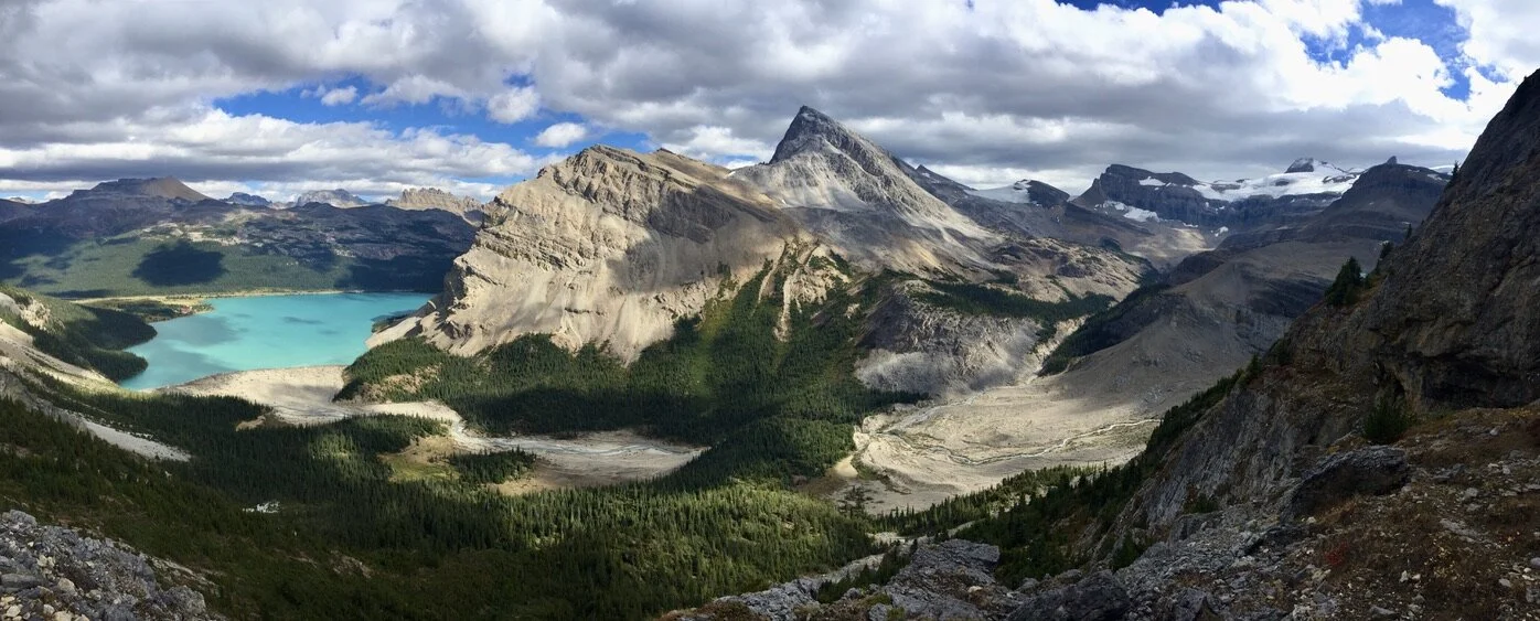
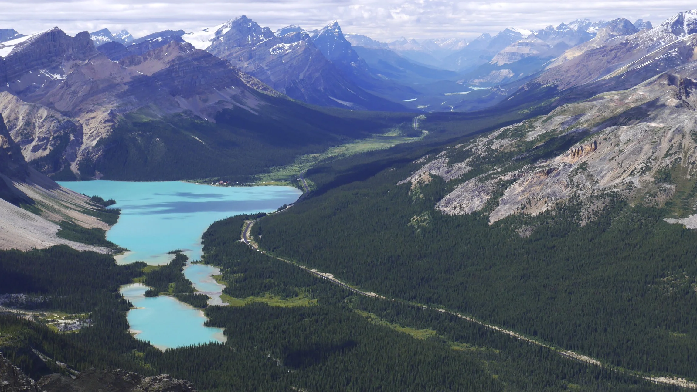
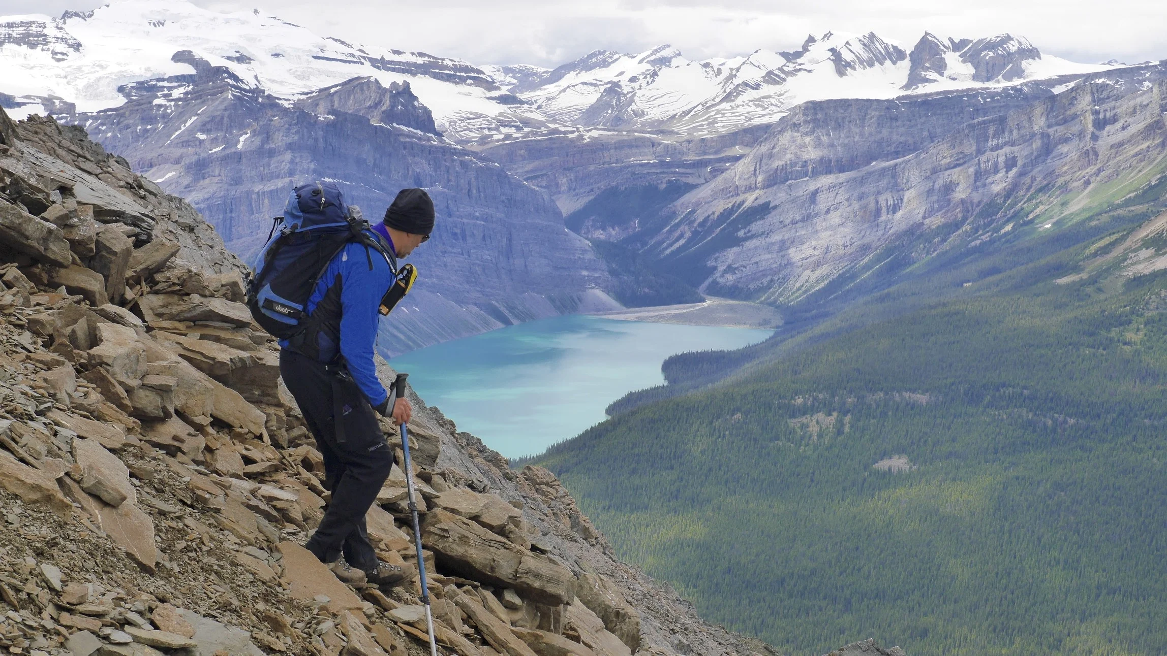
Peyto Lake Below. Observation Peak is on the horizon.
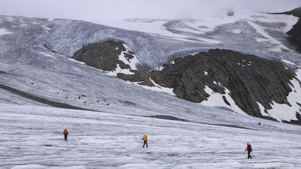
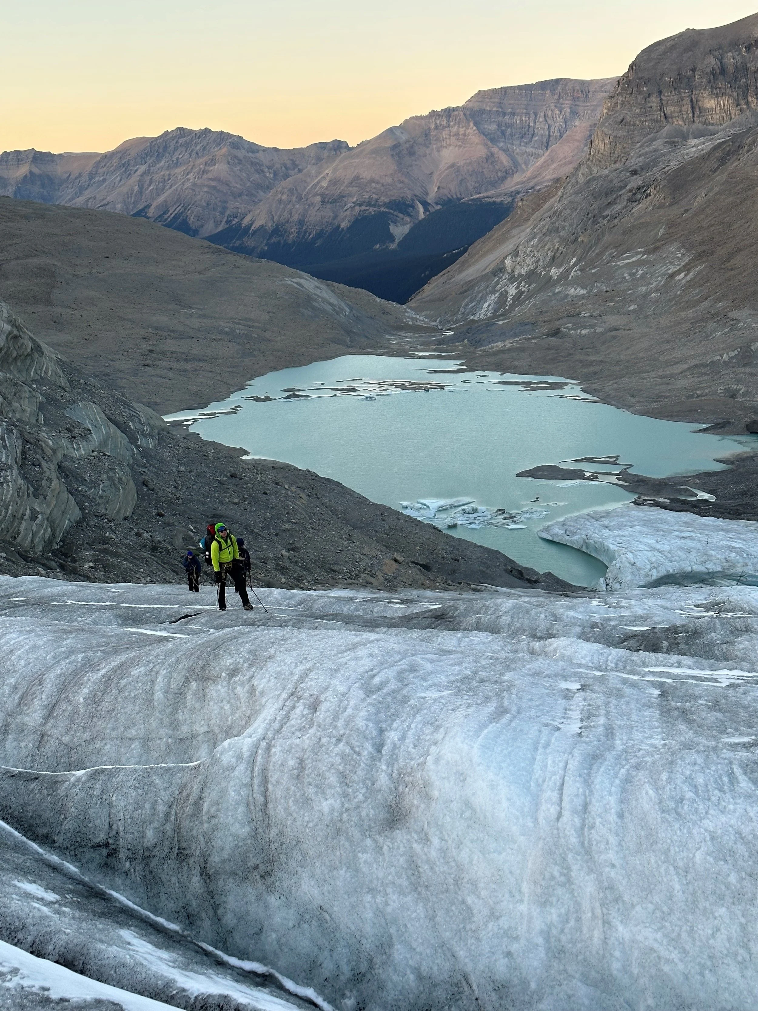
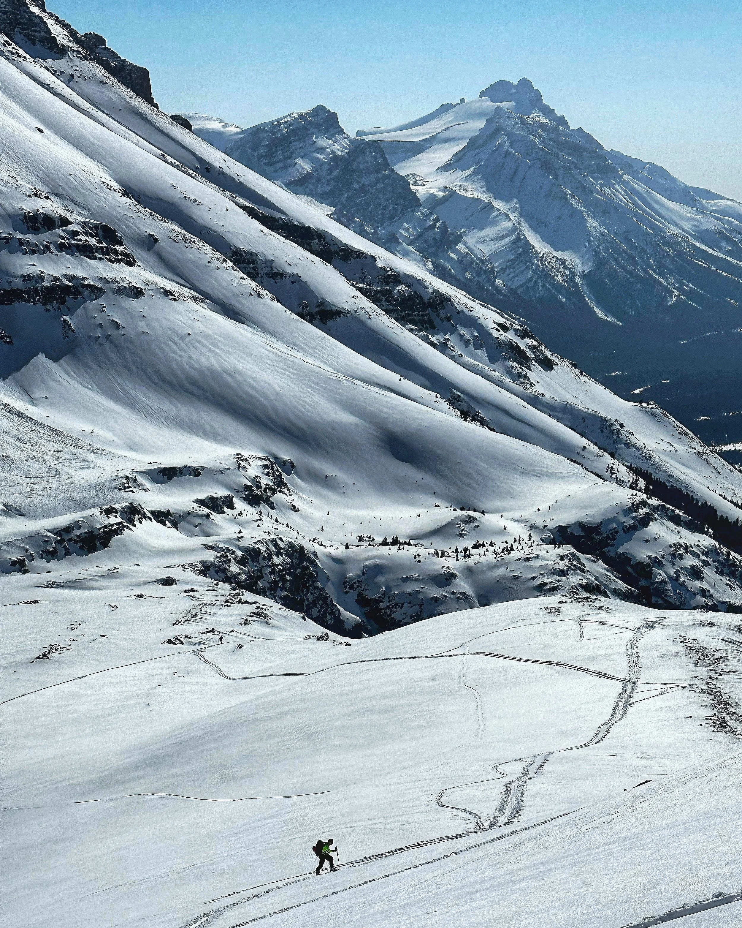
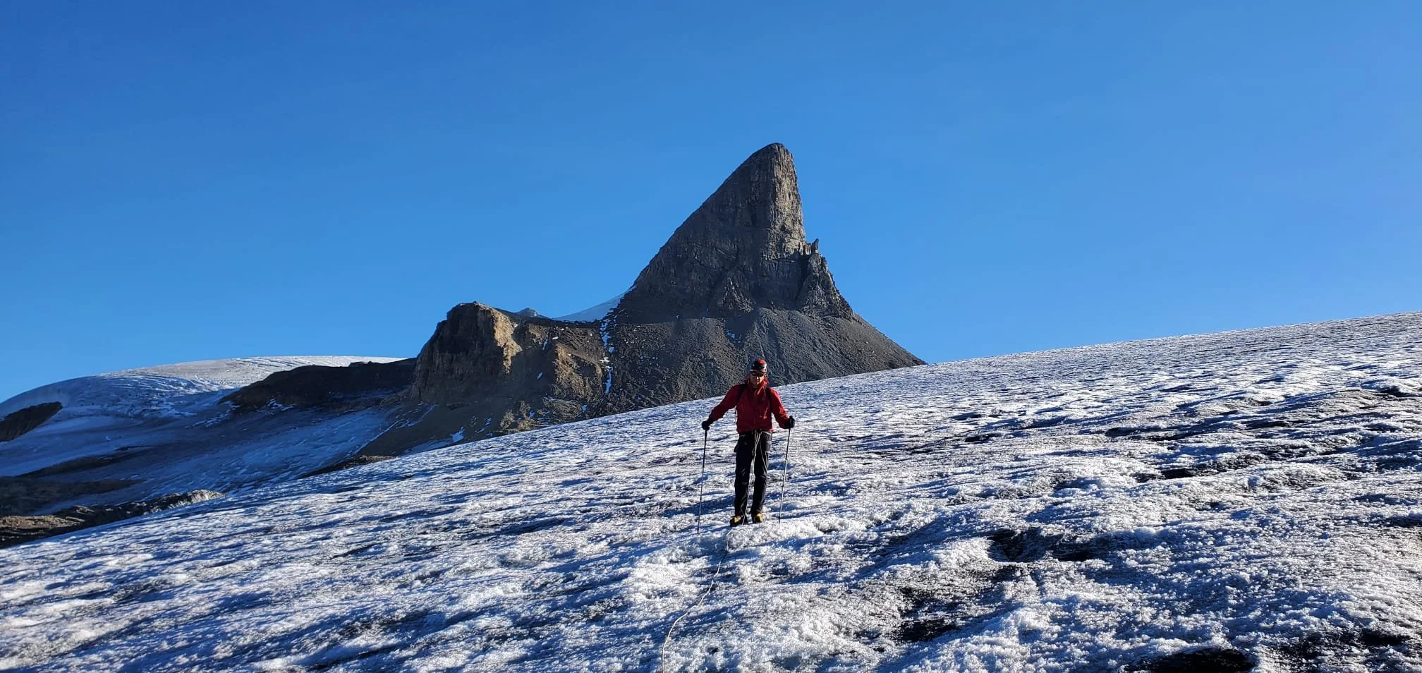
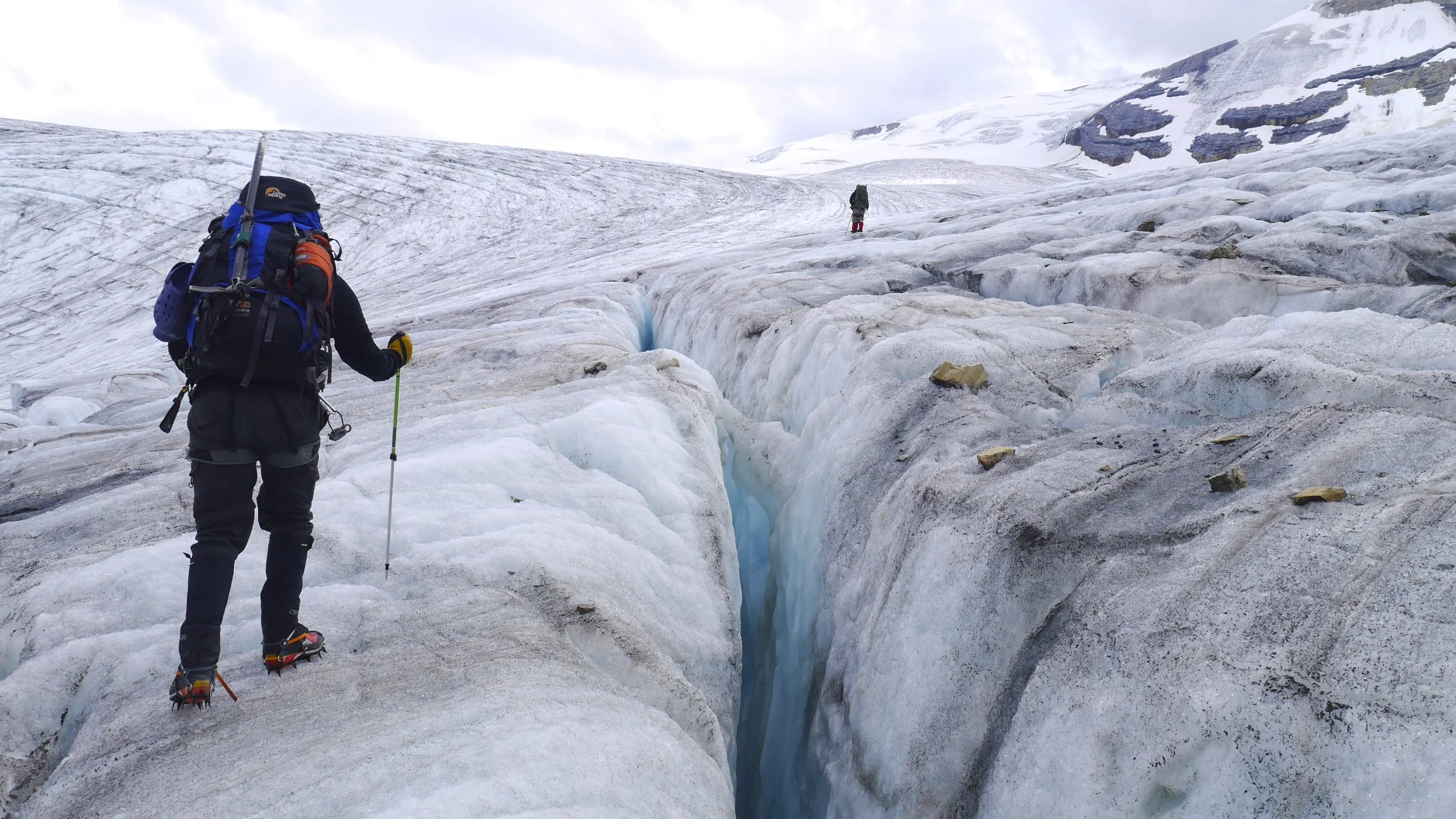
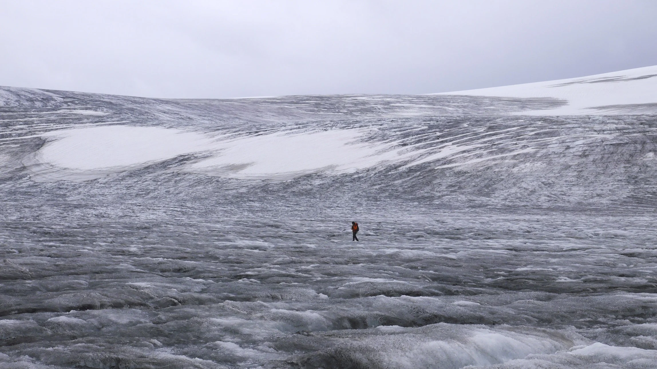
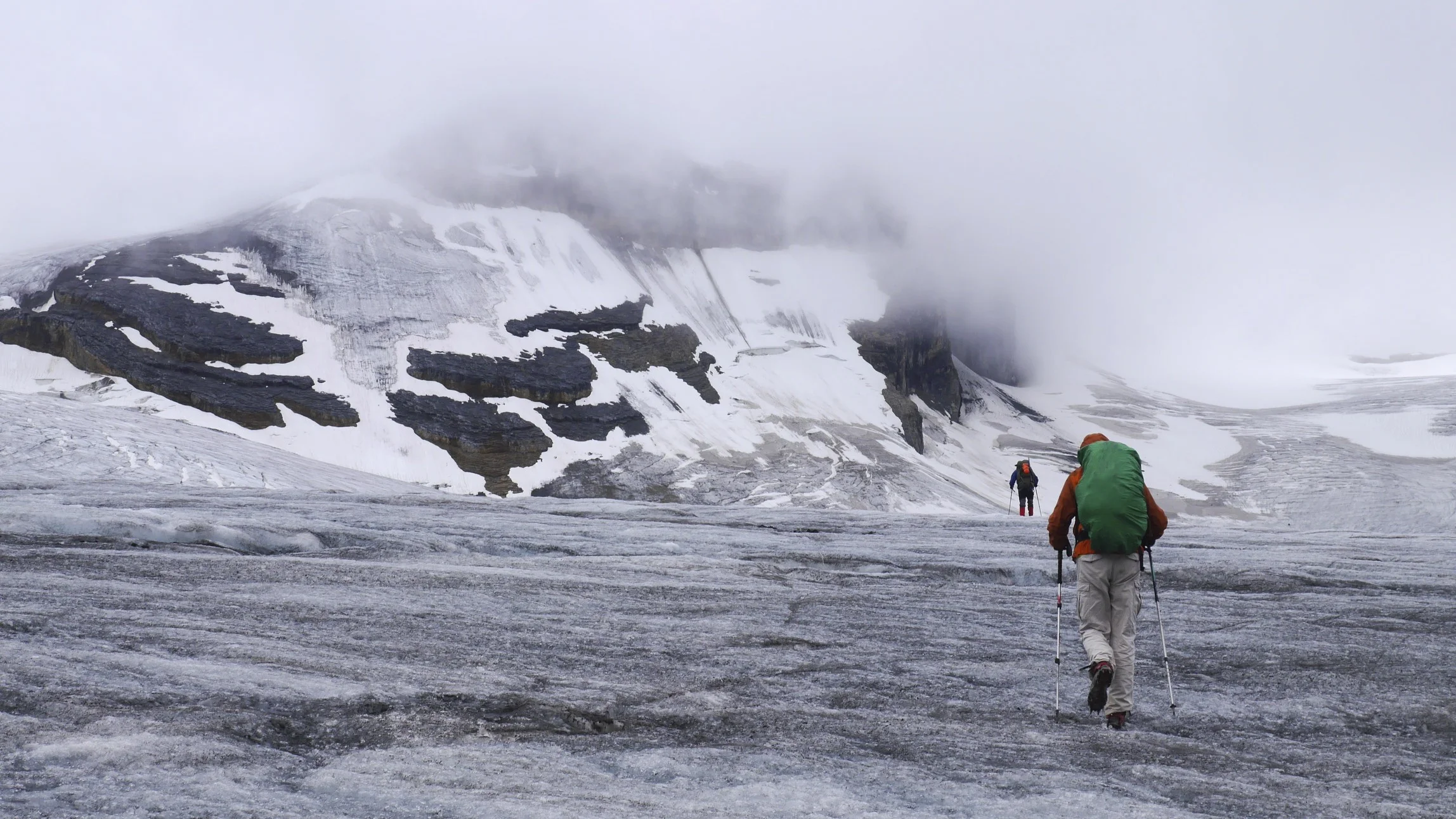
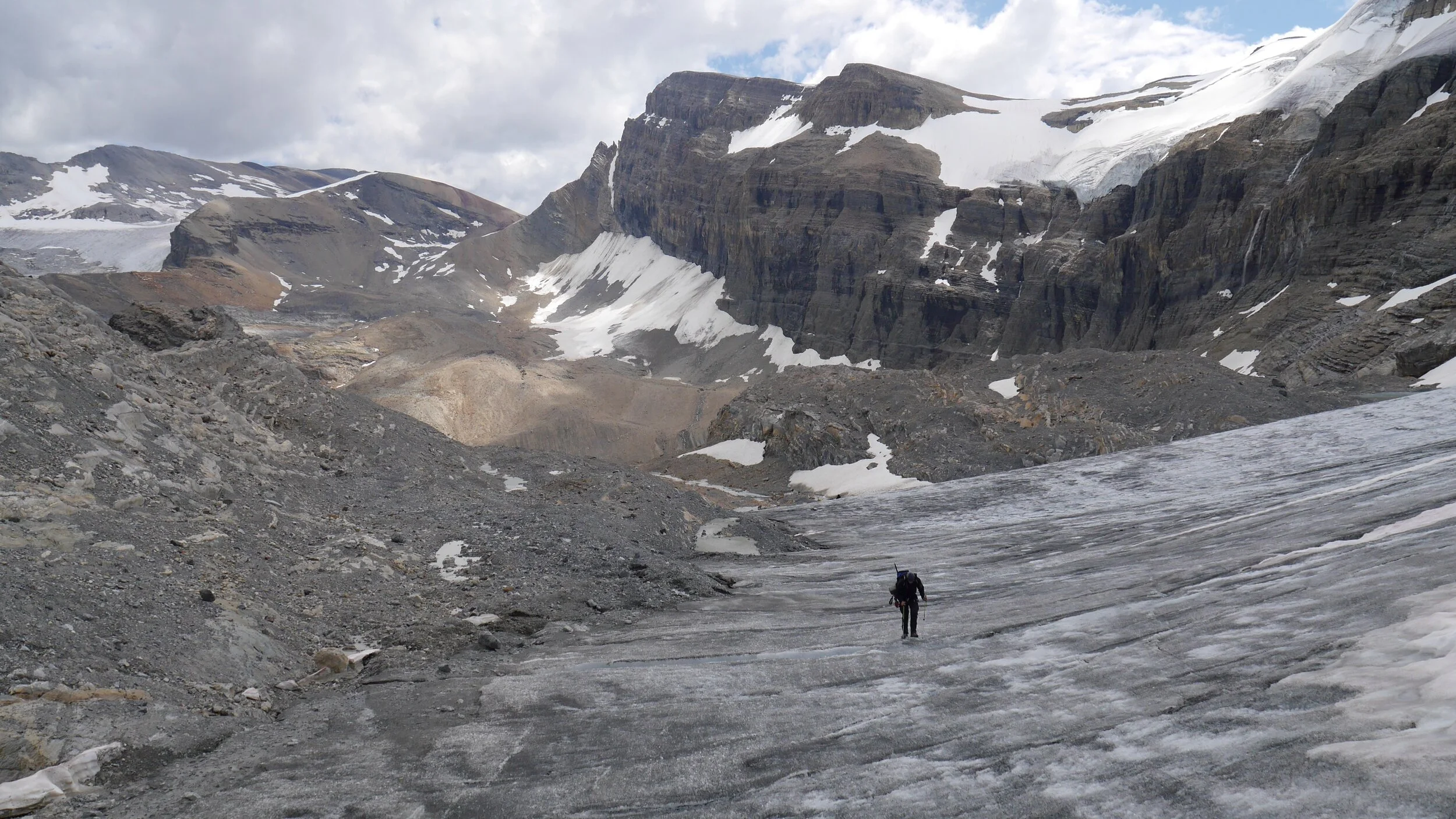
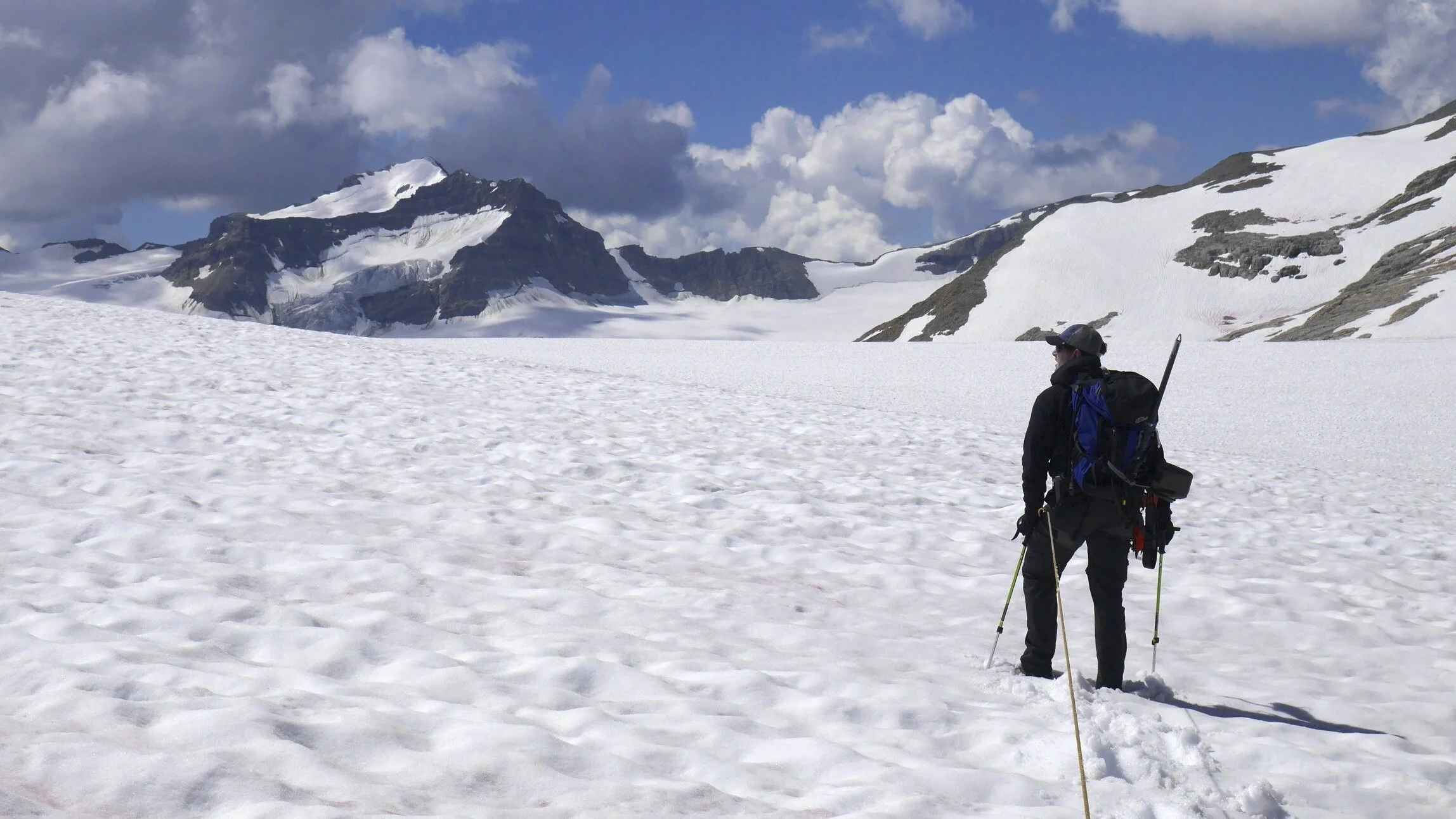
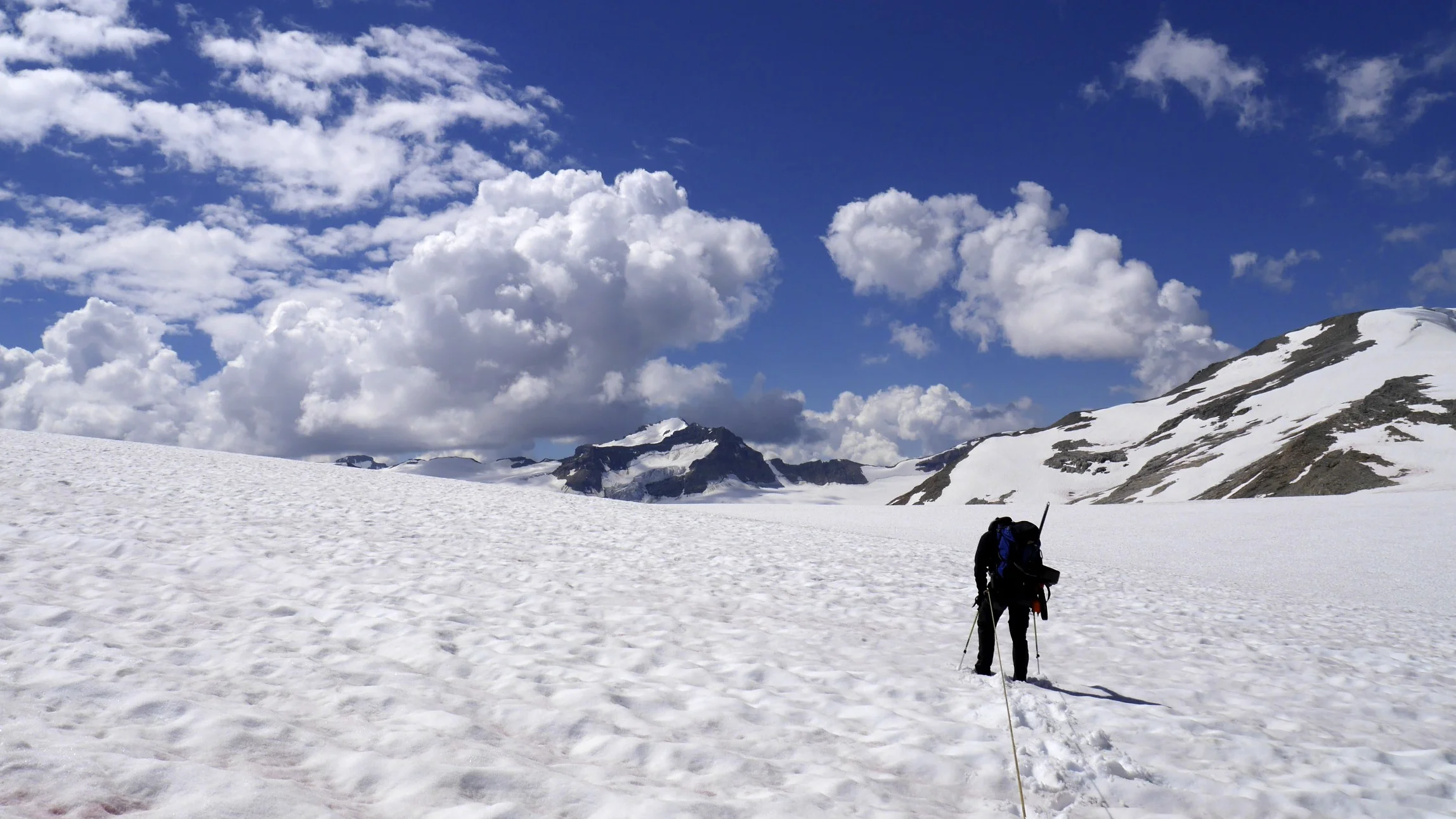
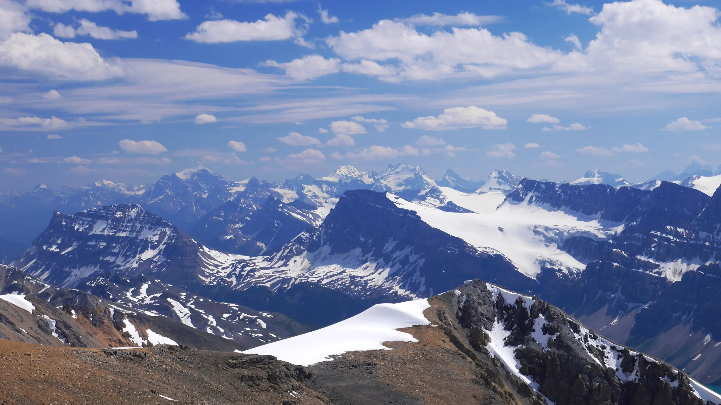
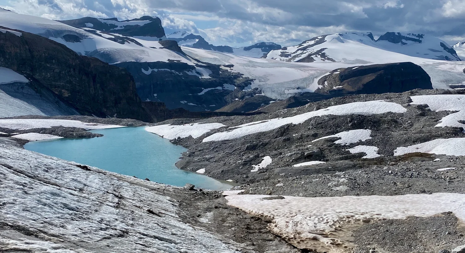
On Peyto Glacier
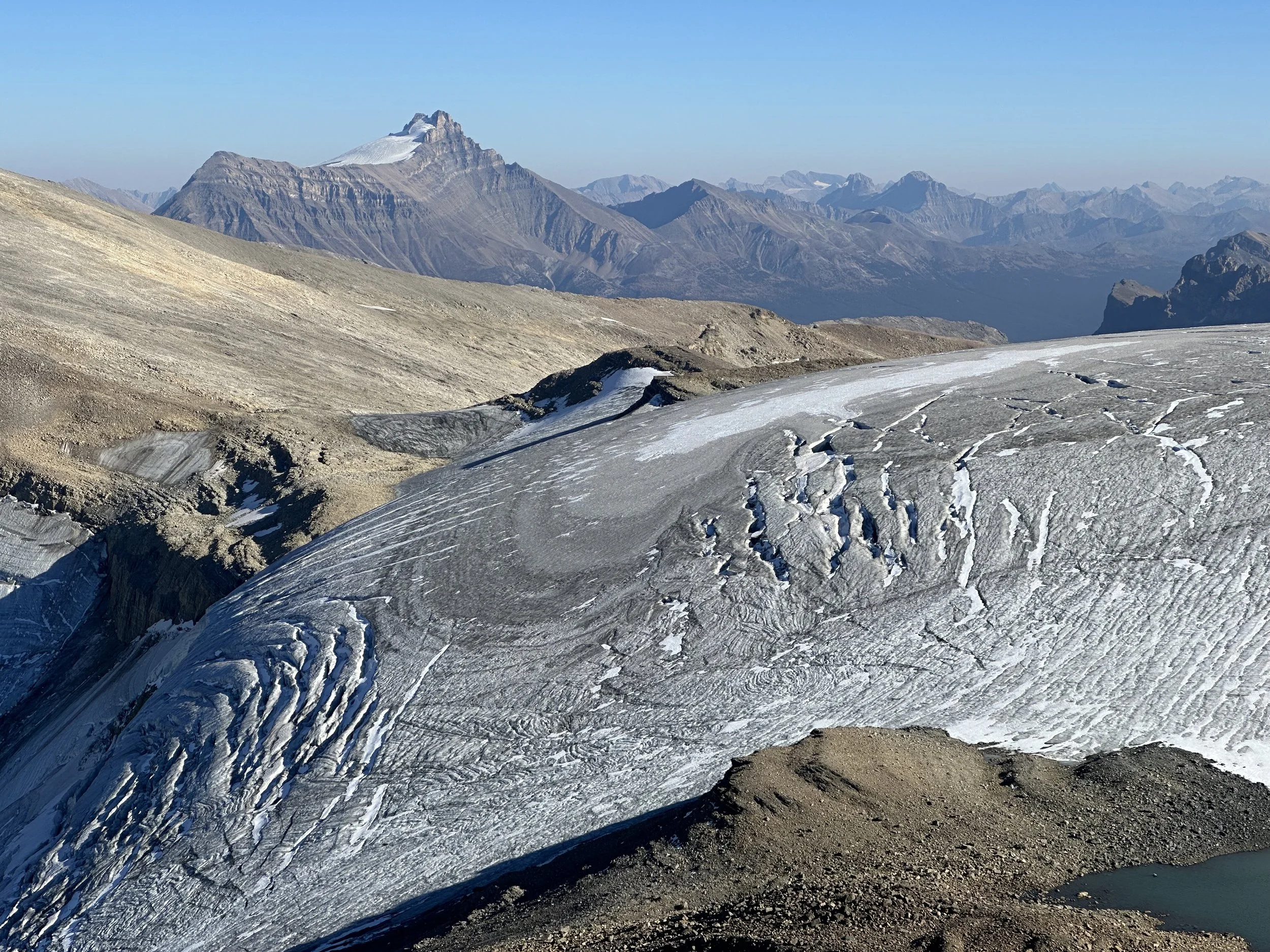
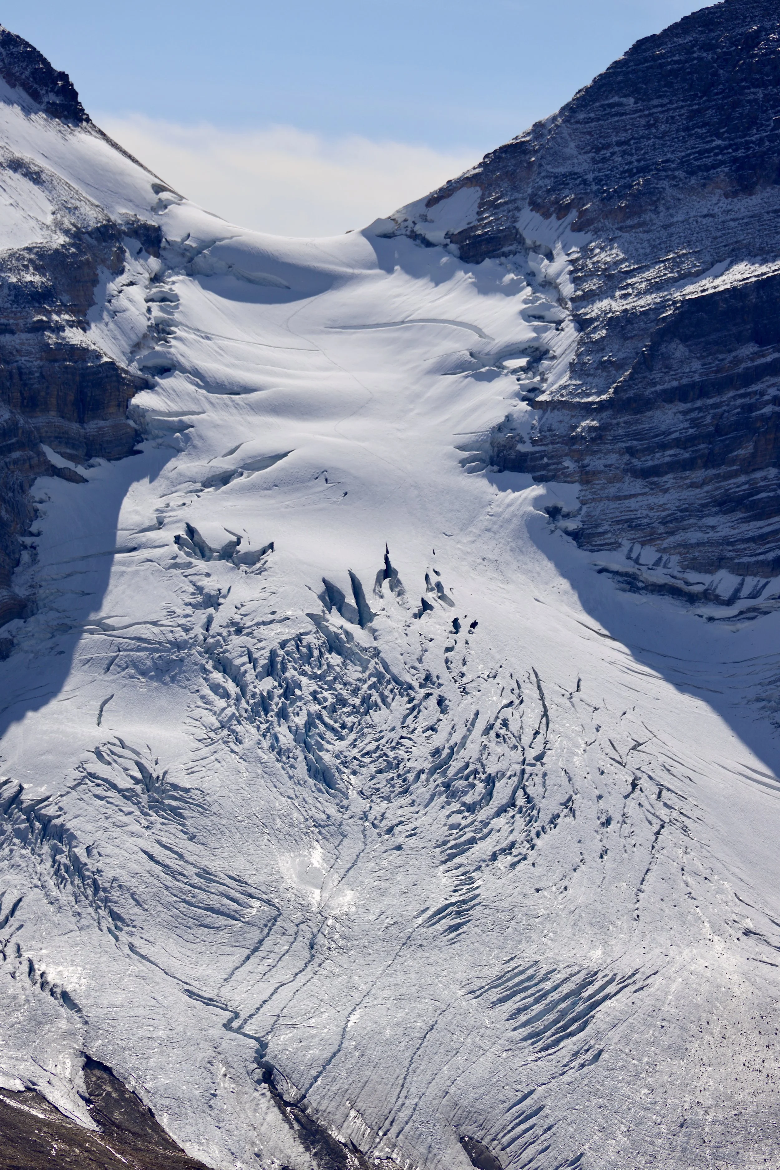
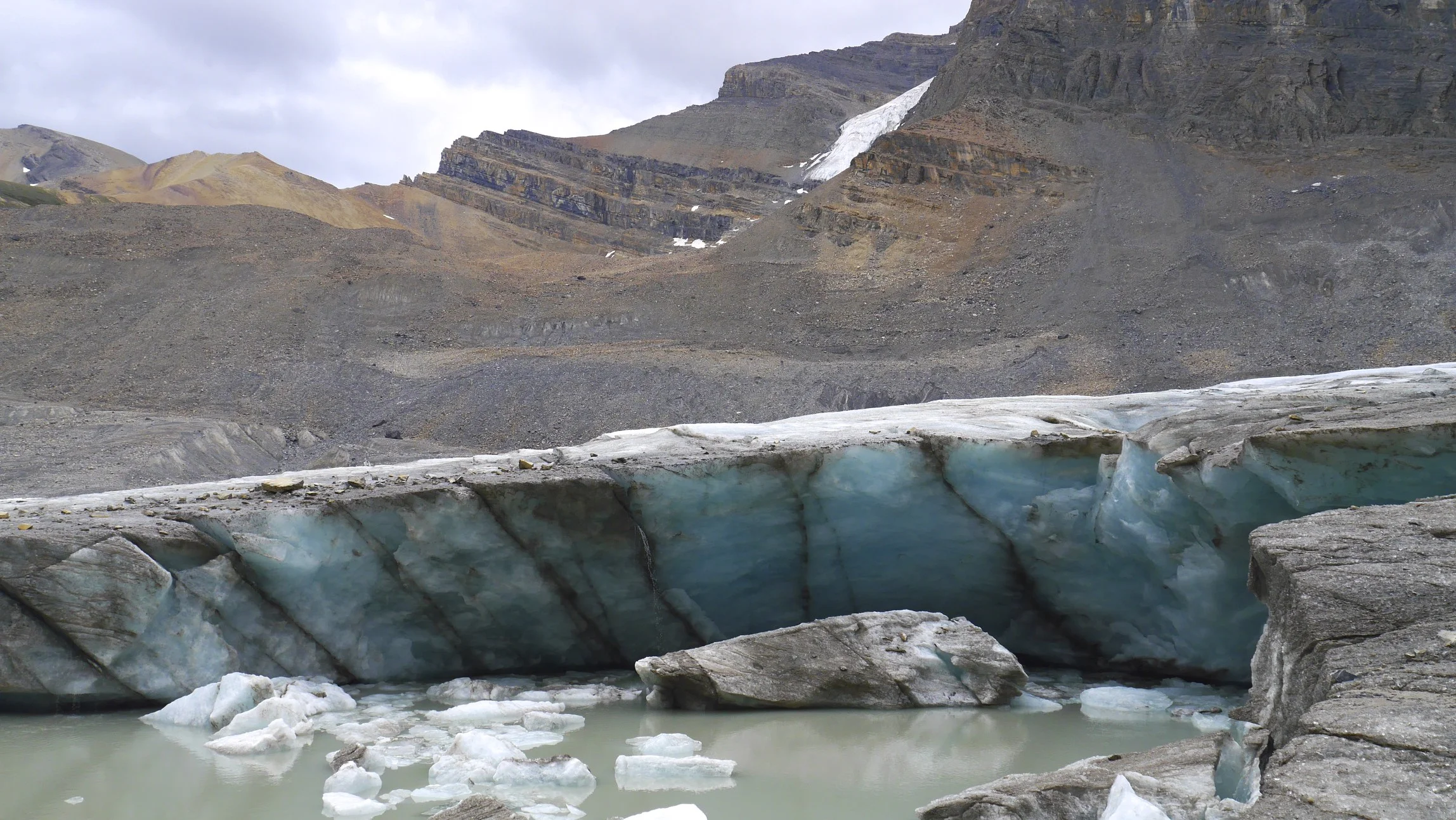
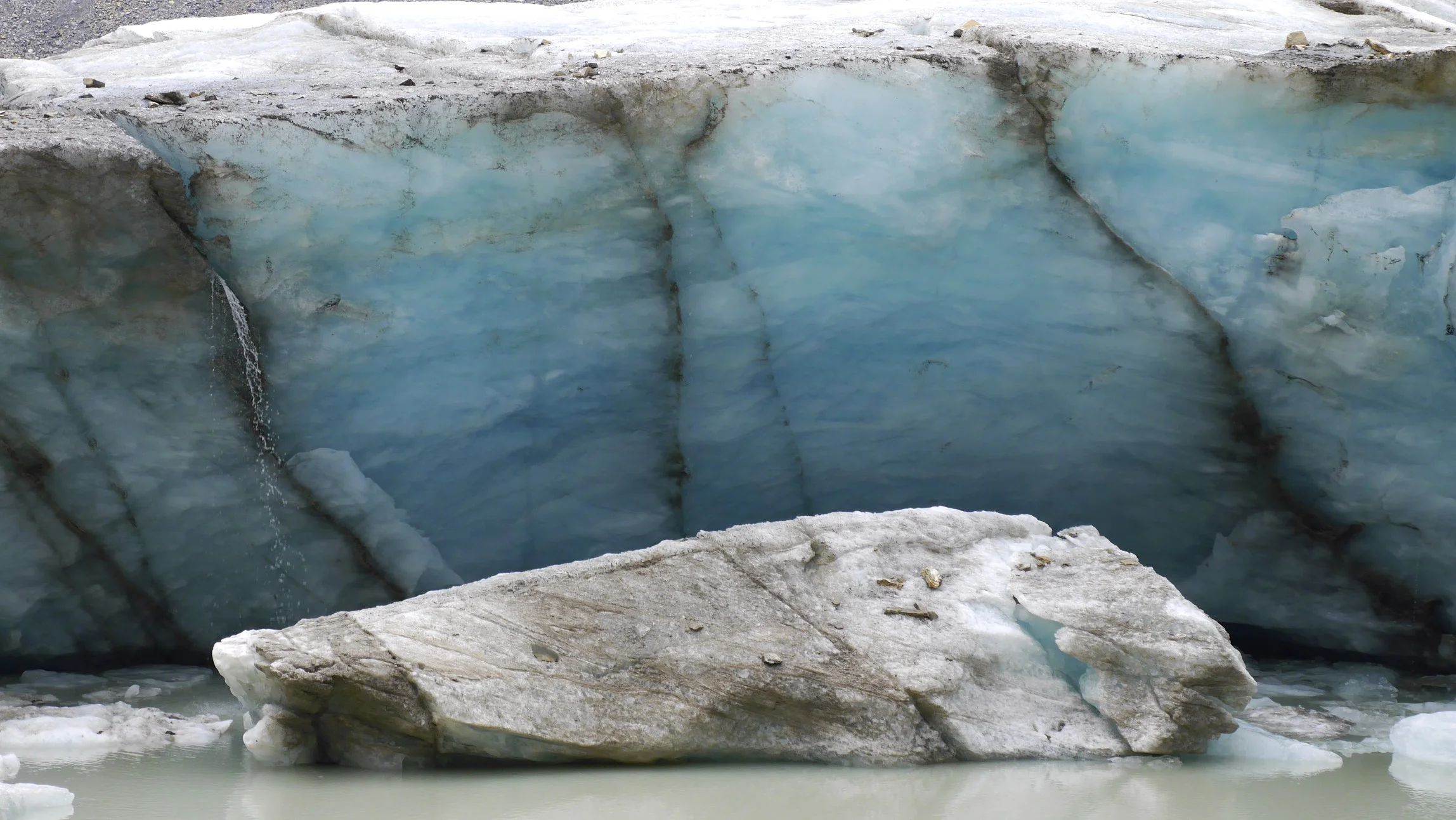
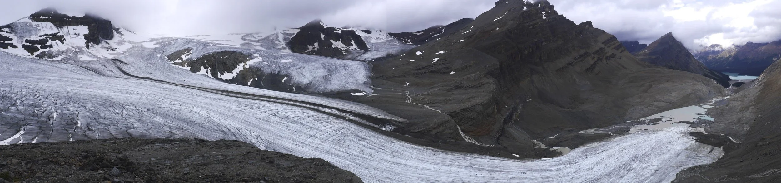
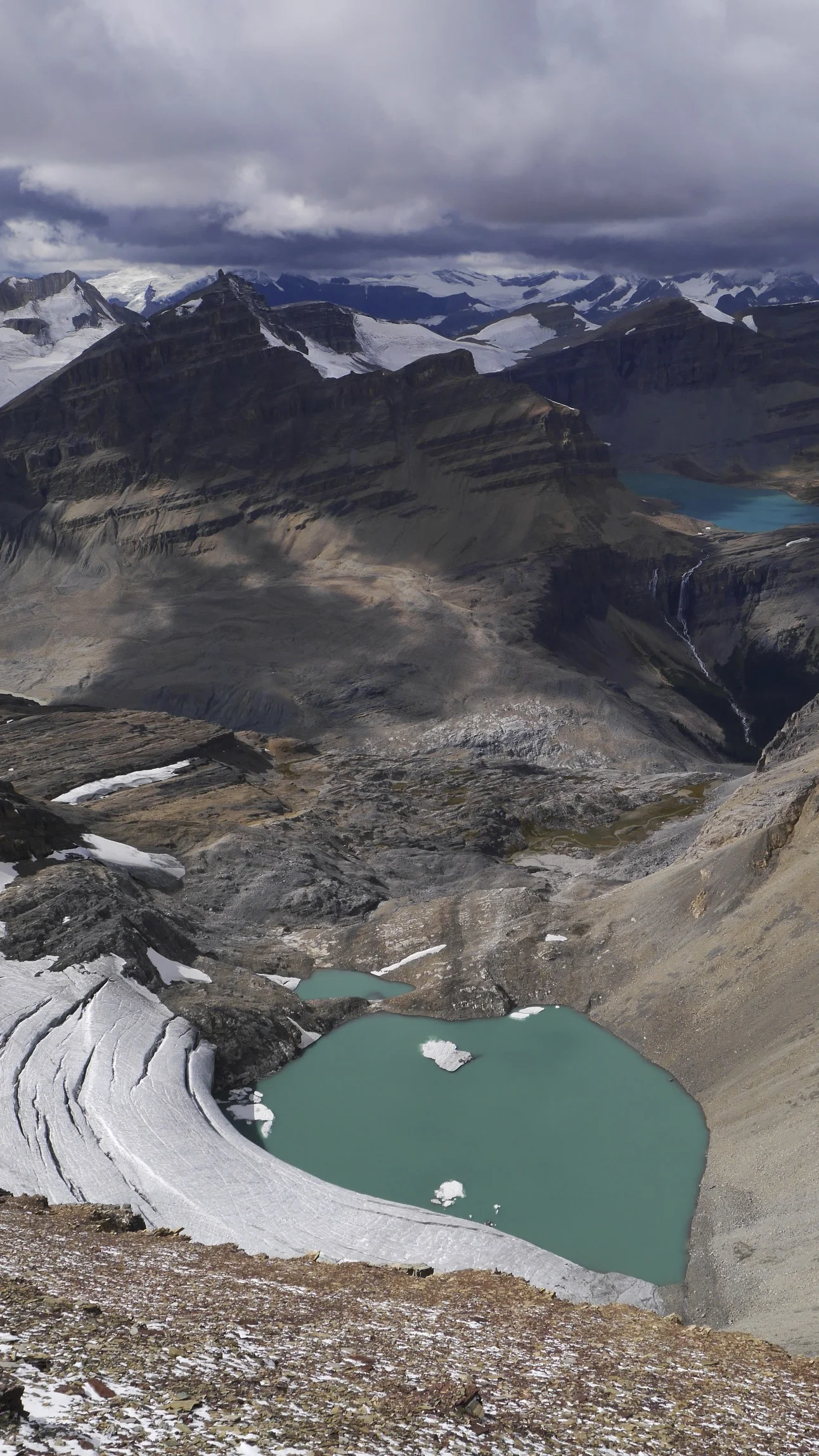
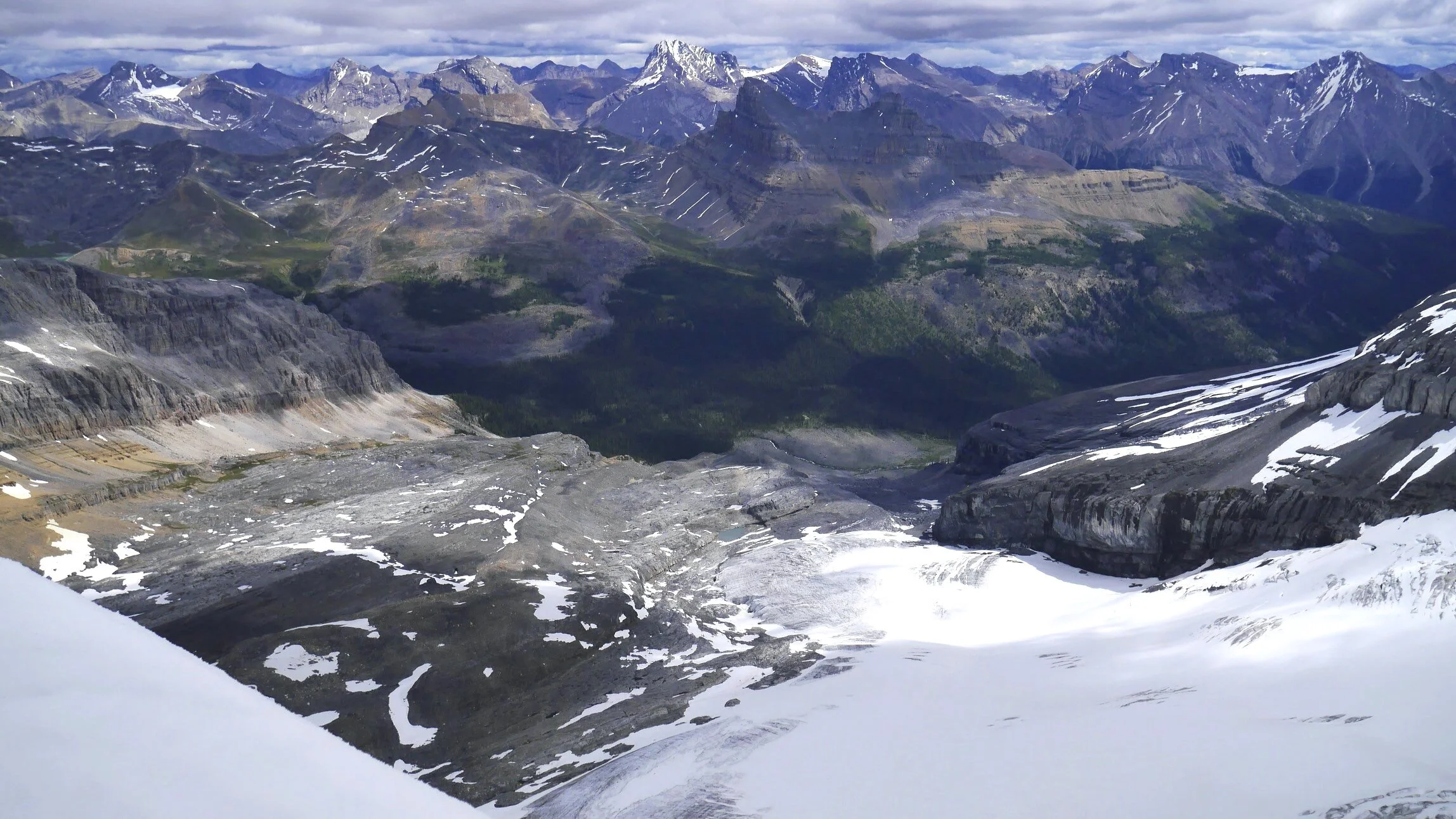
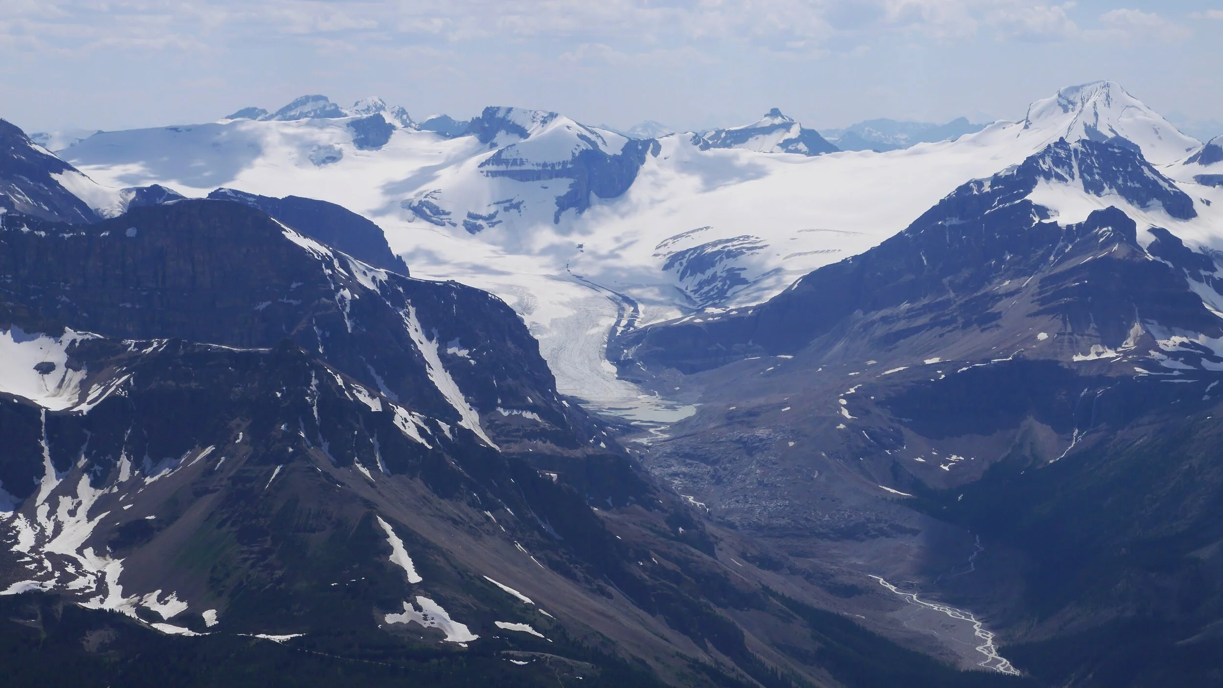
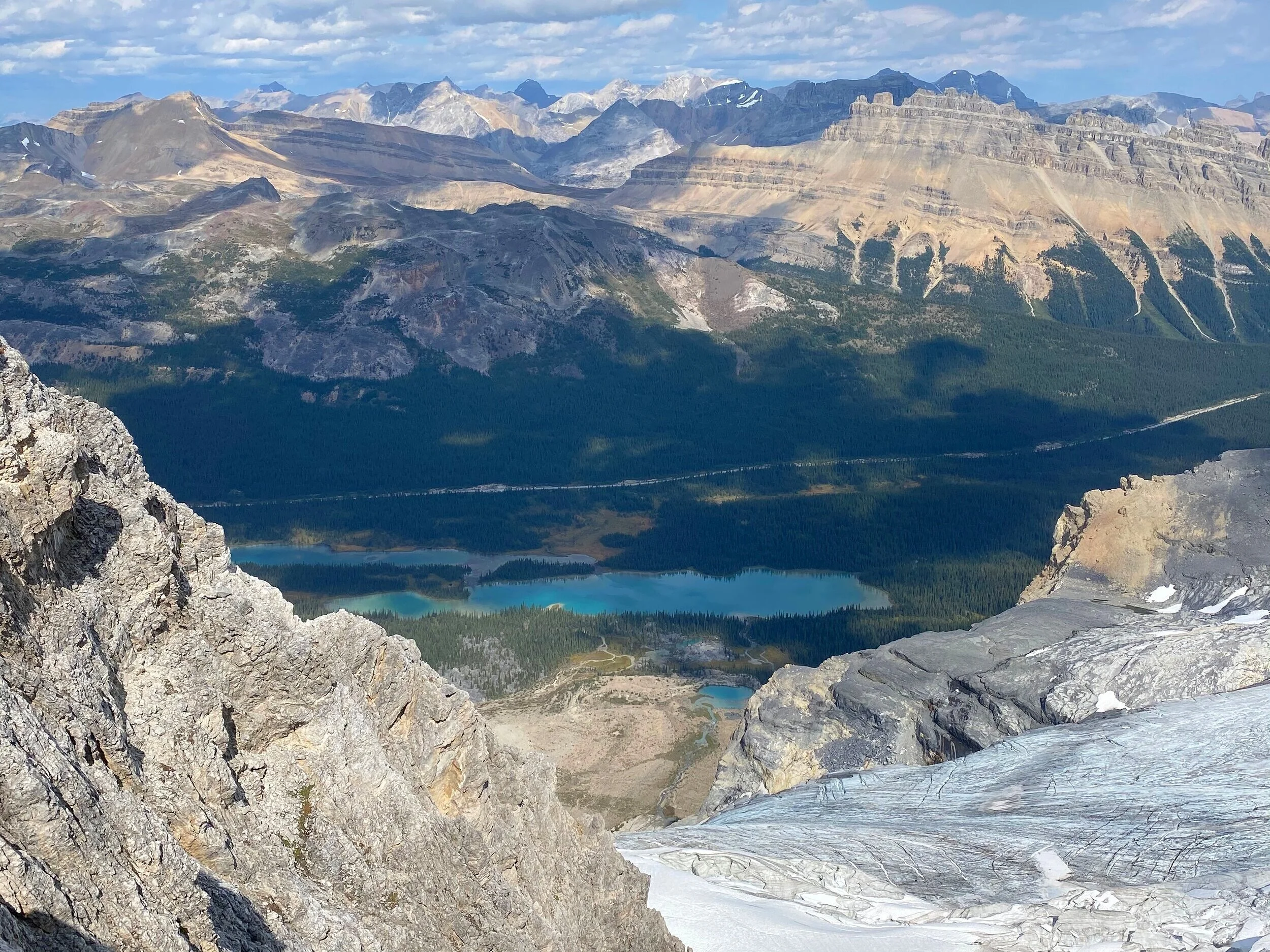
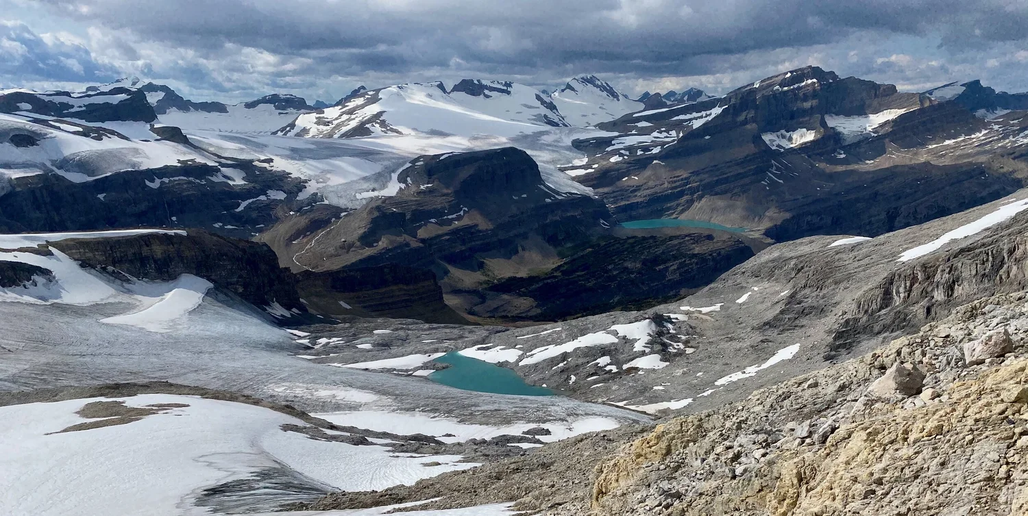
Peyto Glacier
Peyto Glacier
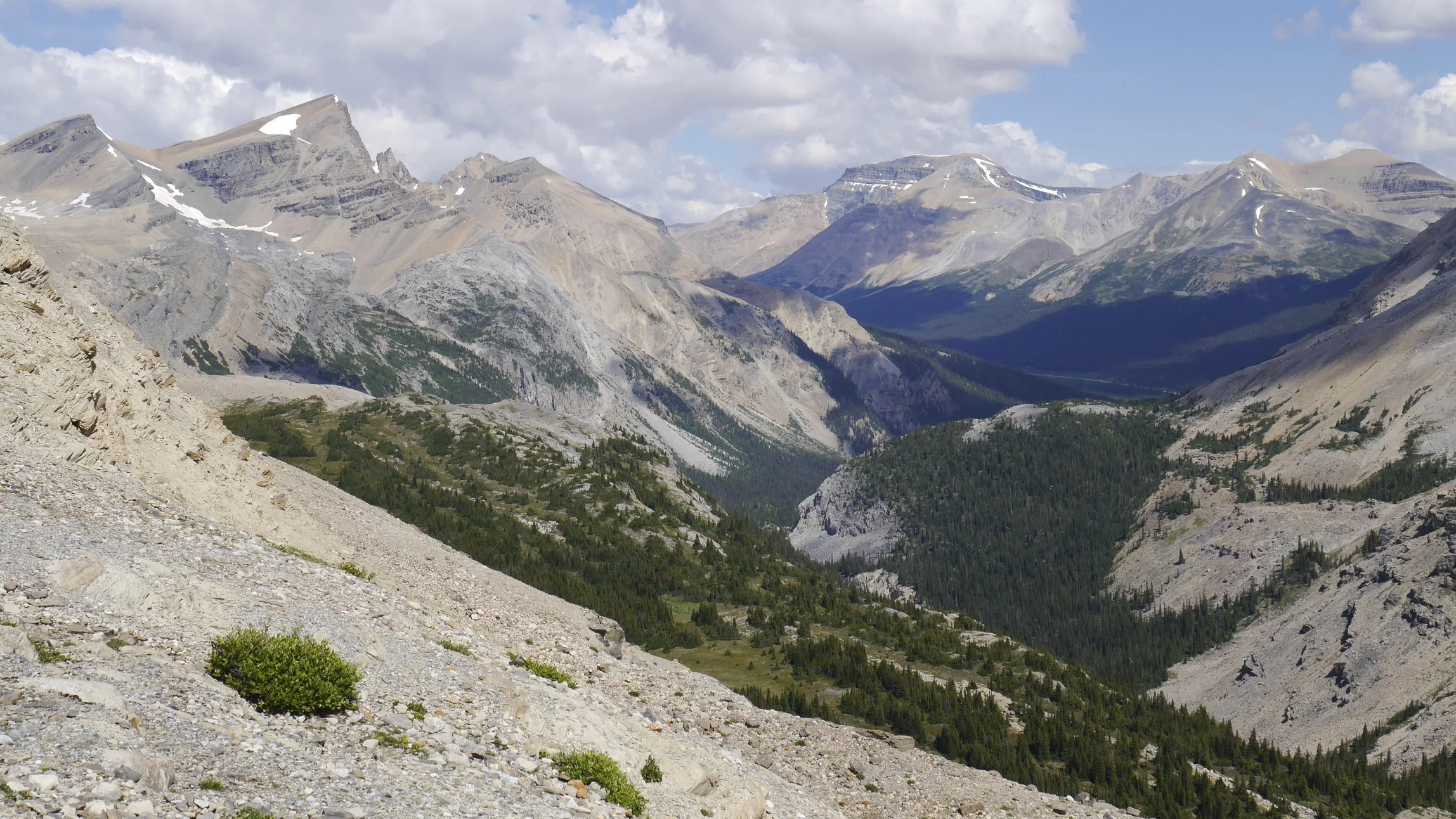
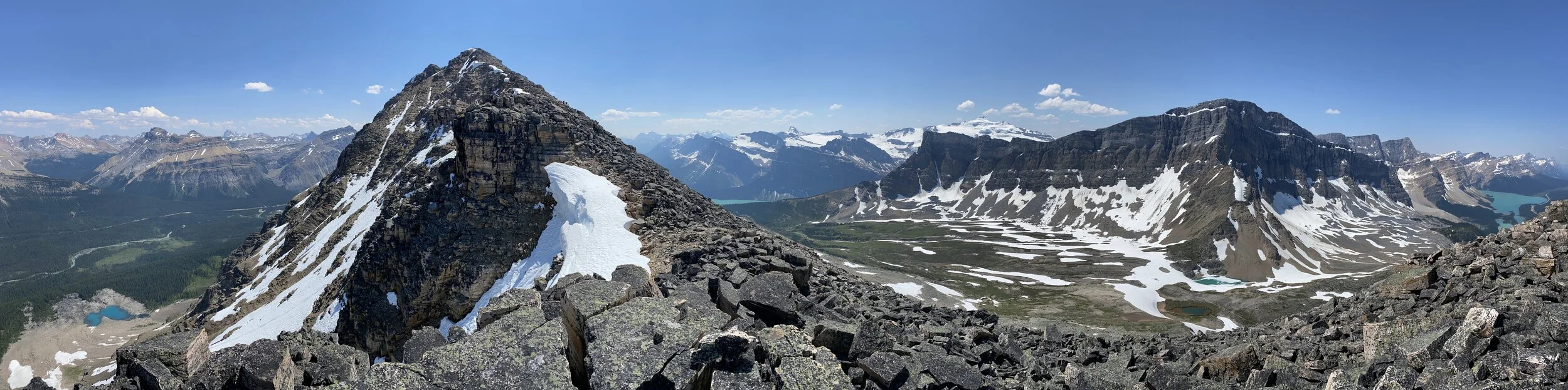
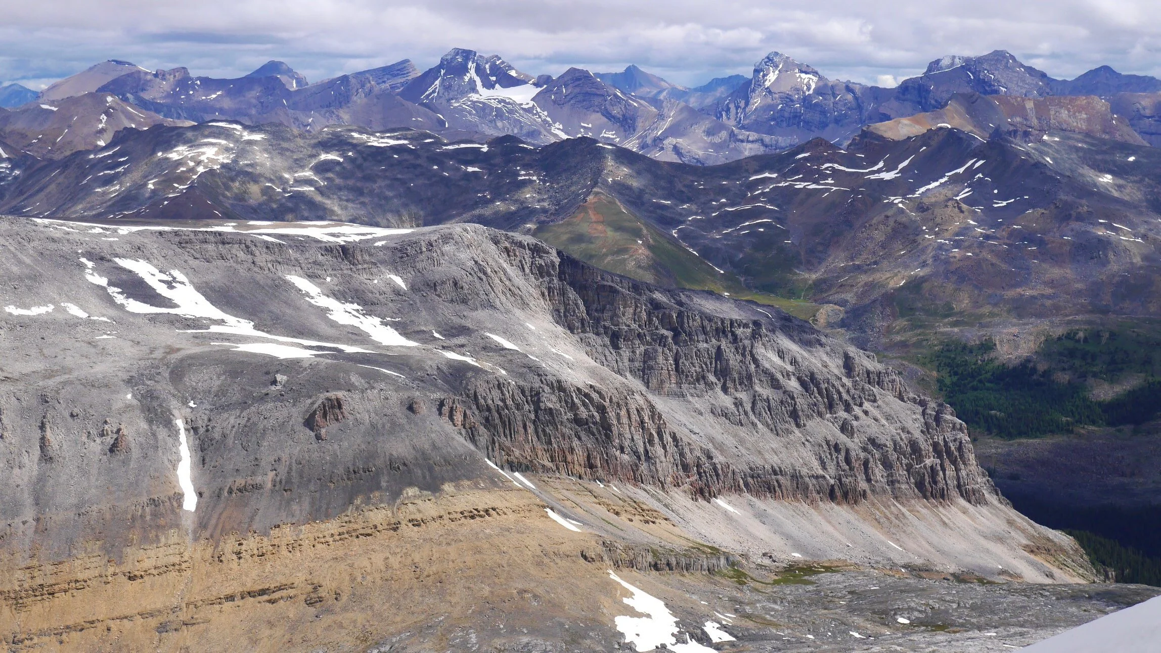
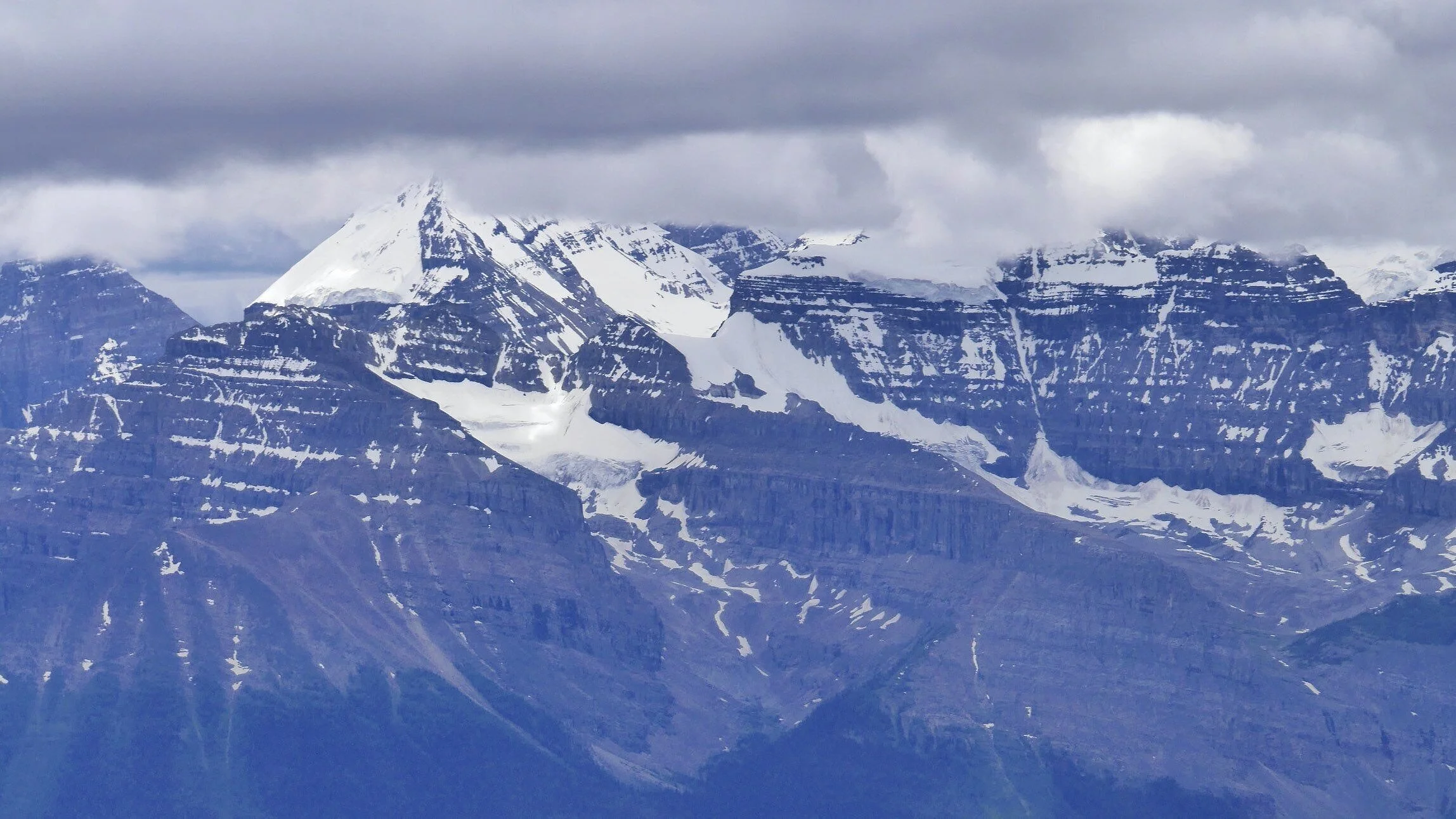
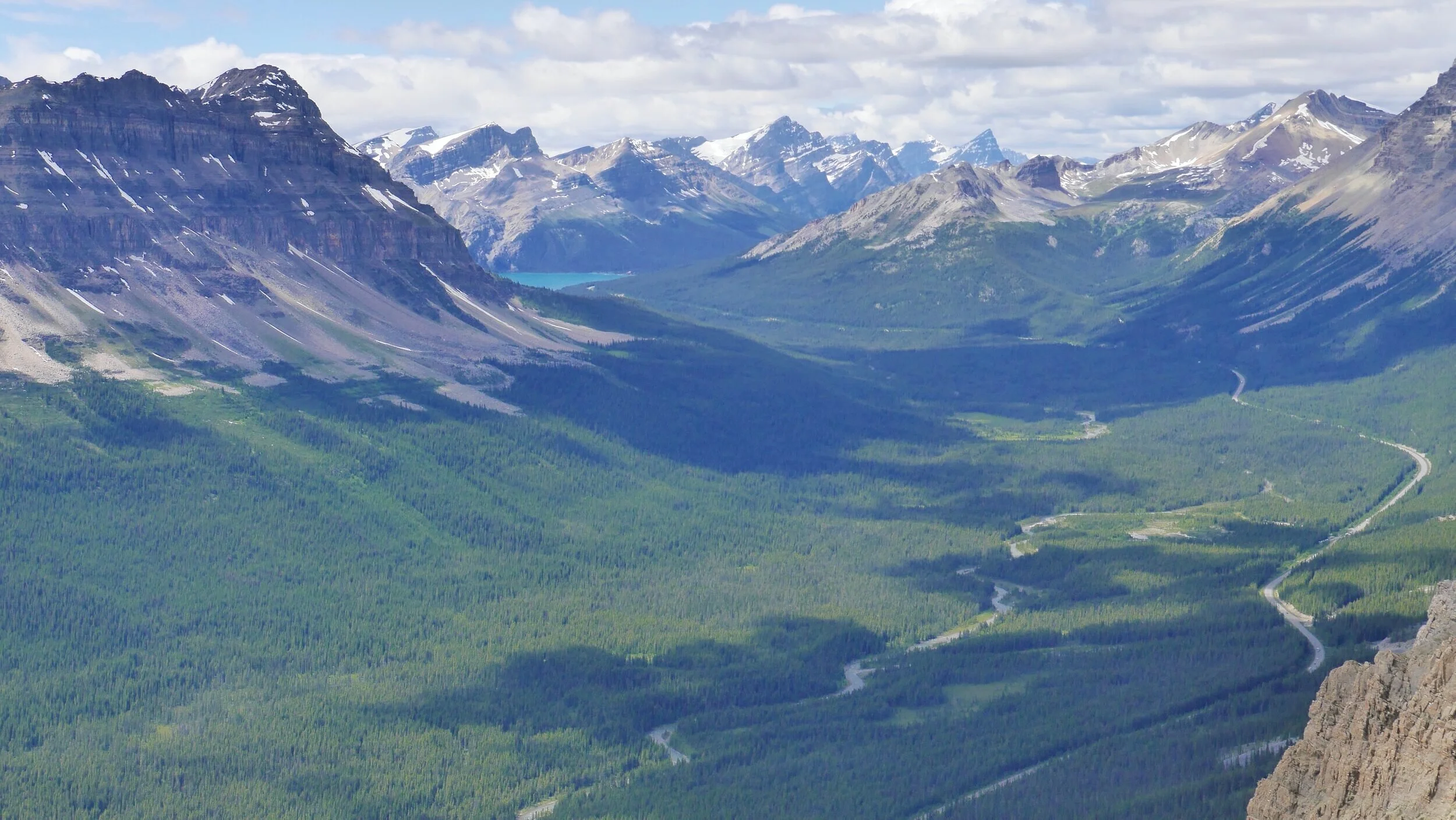
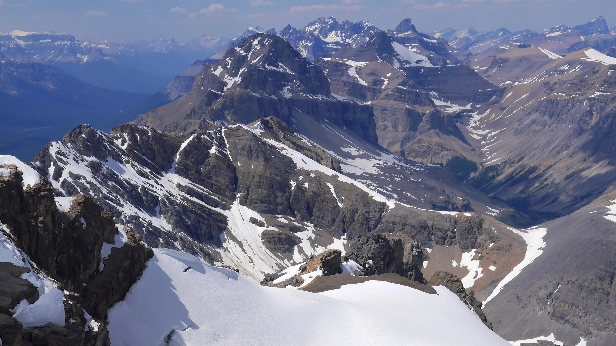
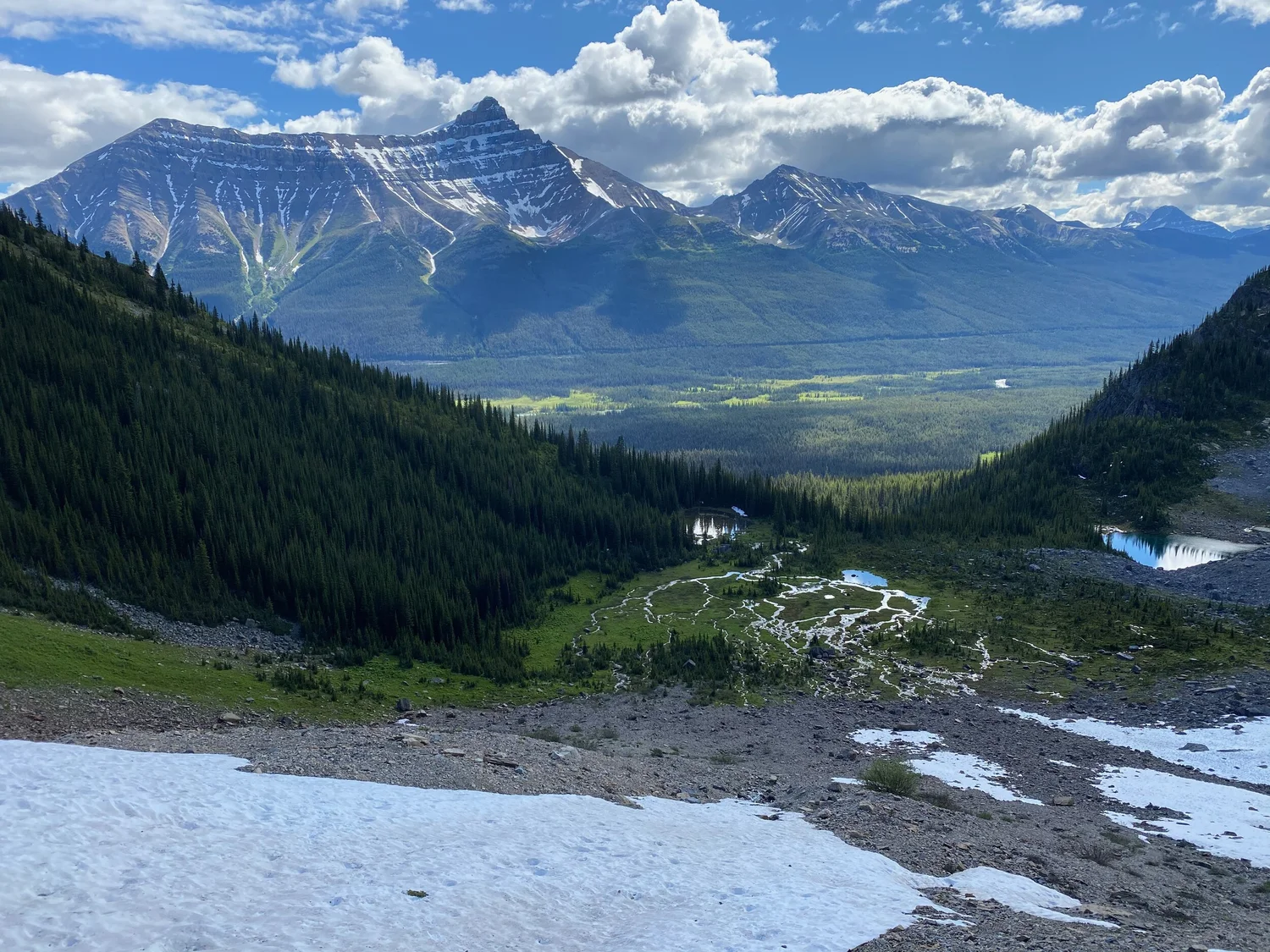
Dolomite Alpine Circuit - in the distance is Mt. Hector
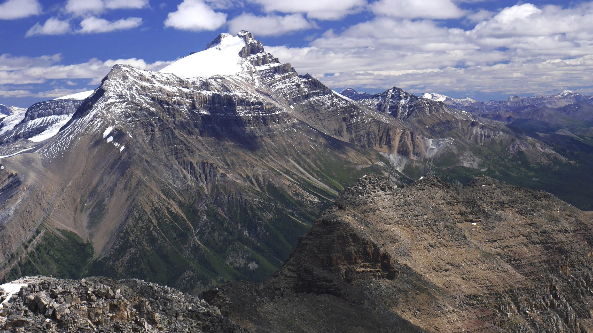
Mount Hector
Mt. President and Vice President. These two peaks are the highest in the Yoho Valley. We traversed the glacier and climbed the peaks from Emerald Lake side and descended to the Stanley Mitchel ACC Hut.
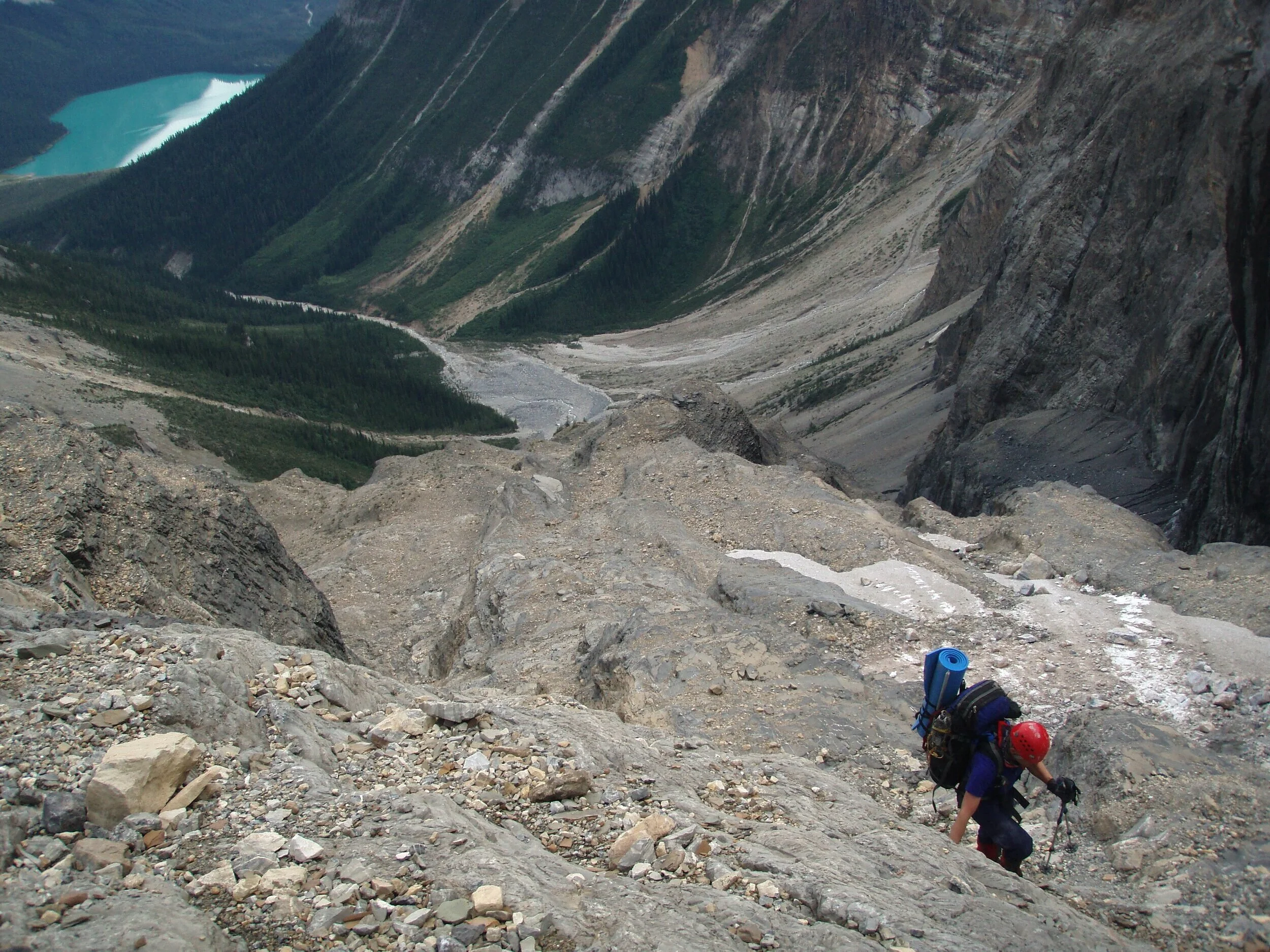
Approaching the Presidents from Emerald Lake
On Mt. President from Emerald Lake
On Mt. President. The approach from Emerald Lake
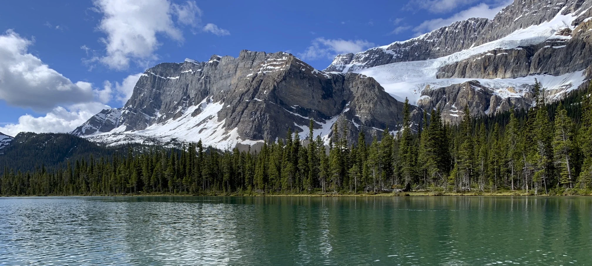
Emerald Lake is visible in the distance
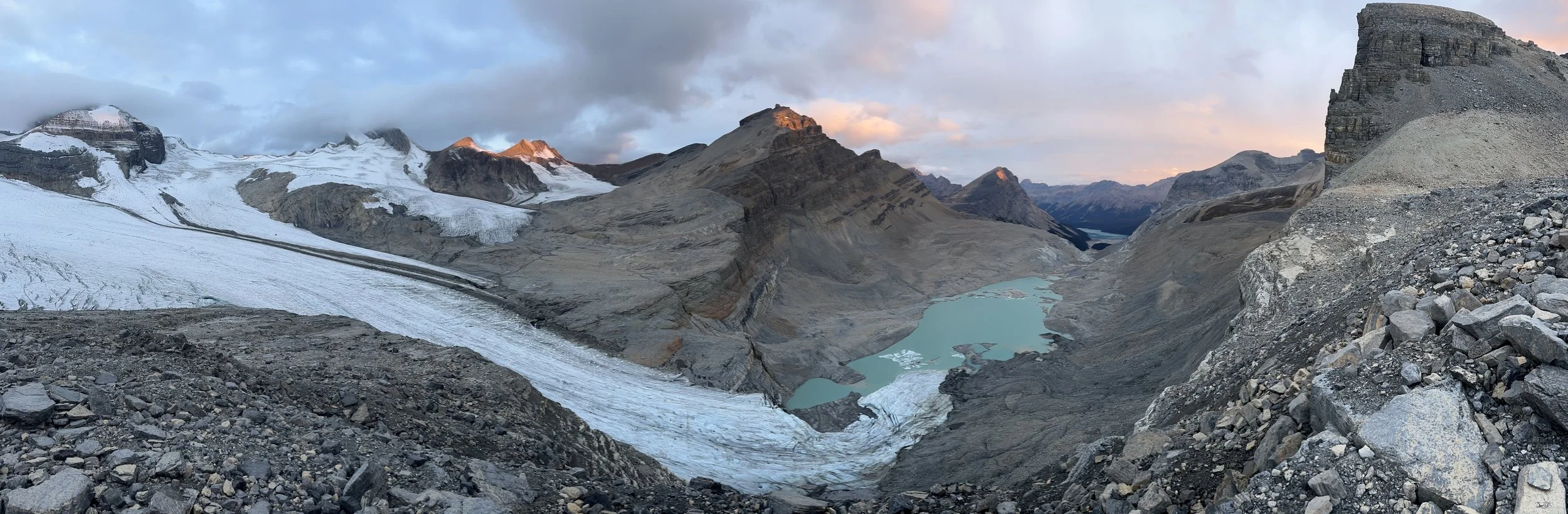
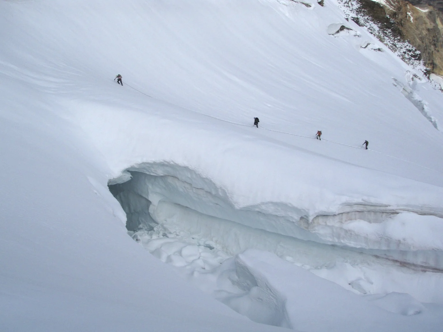
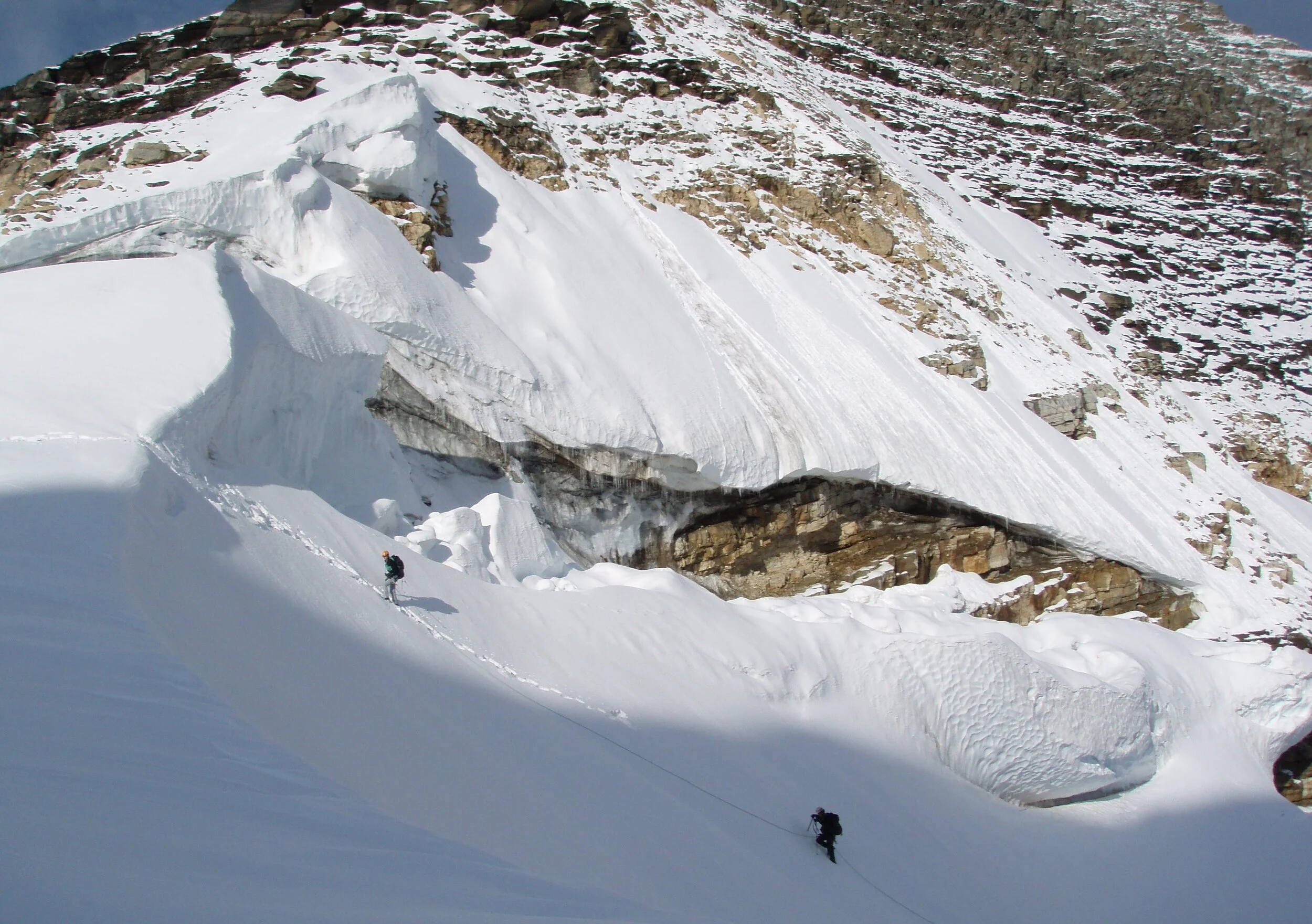
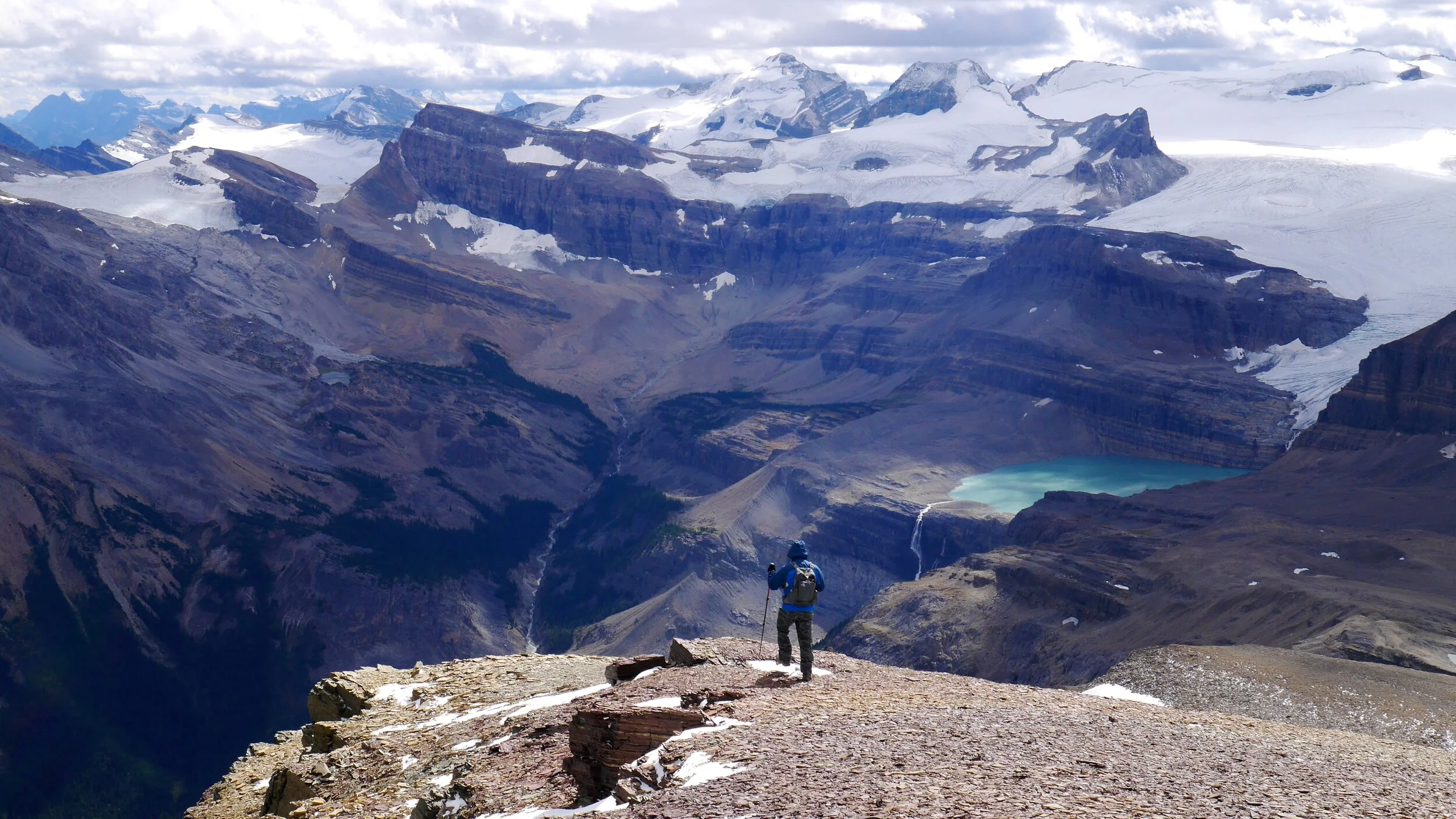
High on Mt. President. The glacier is becoming more and more dangerous as large crevasses are opening up due to melting.
Approaching the President /VP col
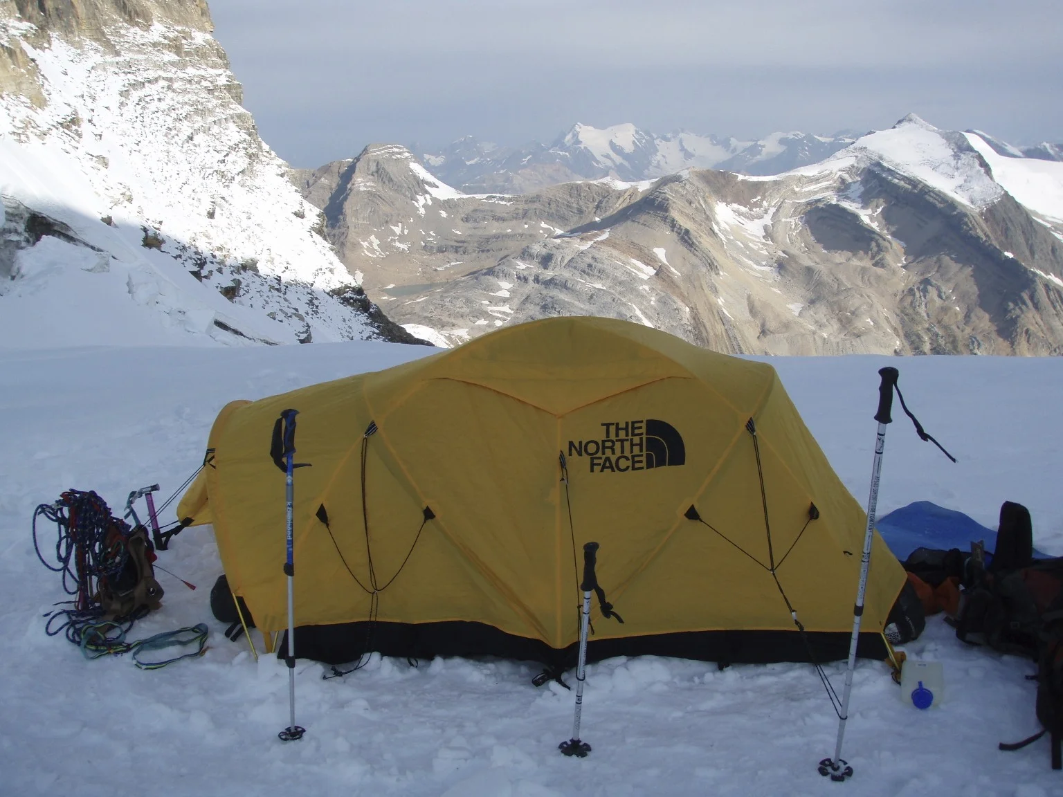
The col between Mt. President and Vice President where we bivied Mount Pollinger is visible behind the tent.
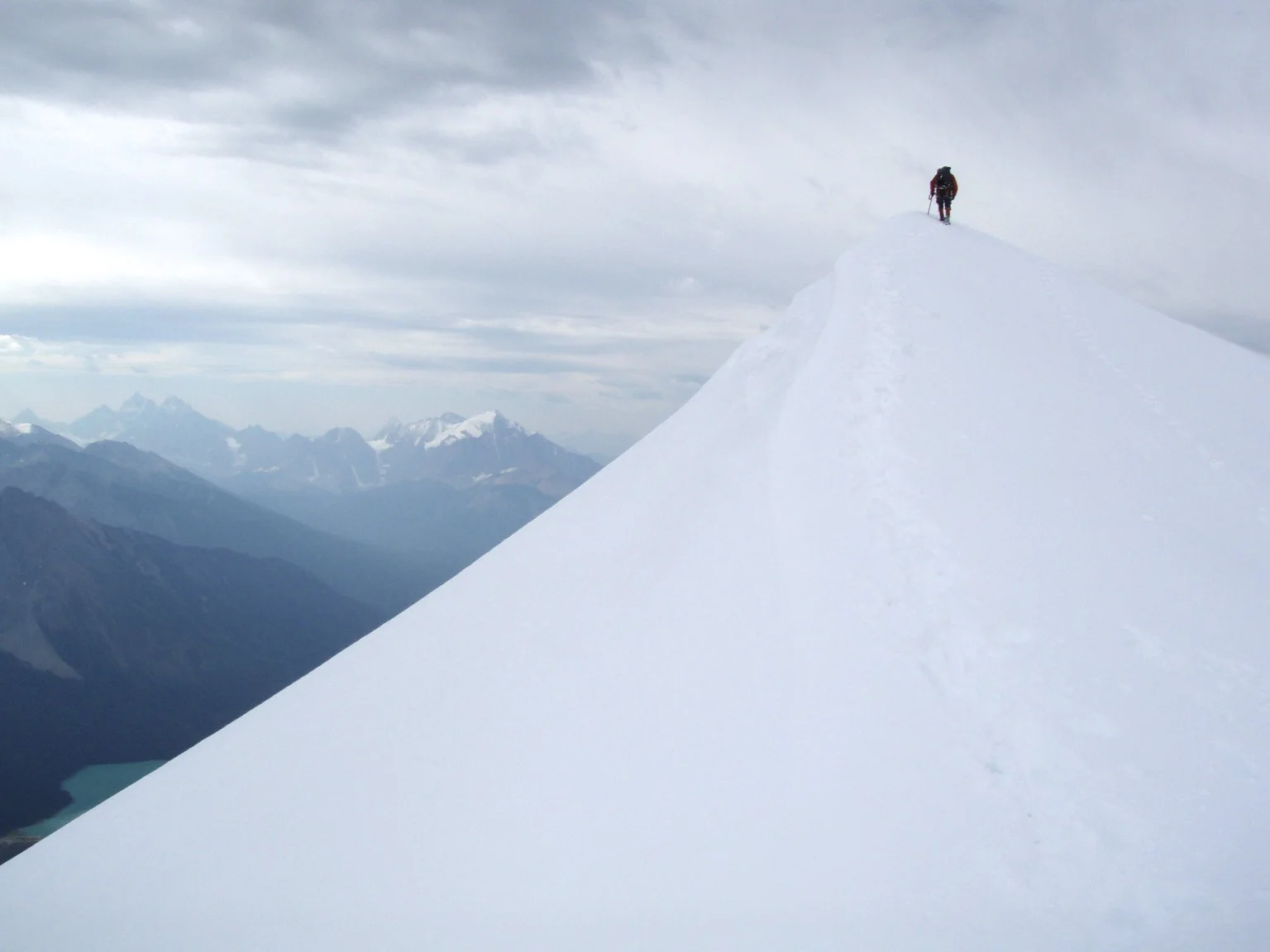
The summit of Mt. President 3,138m. Emerald Lake is below.
On the summit of Mt. President 3,138m. The Lake Louise group is on the horizon.
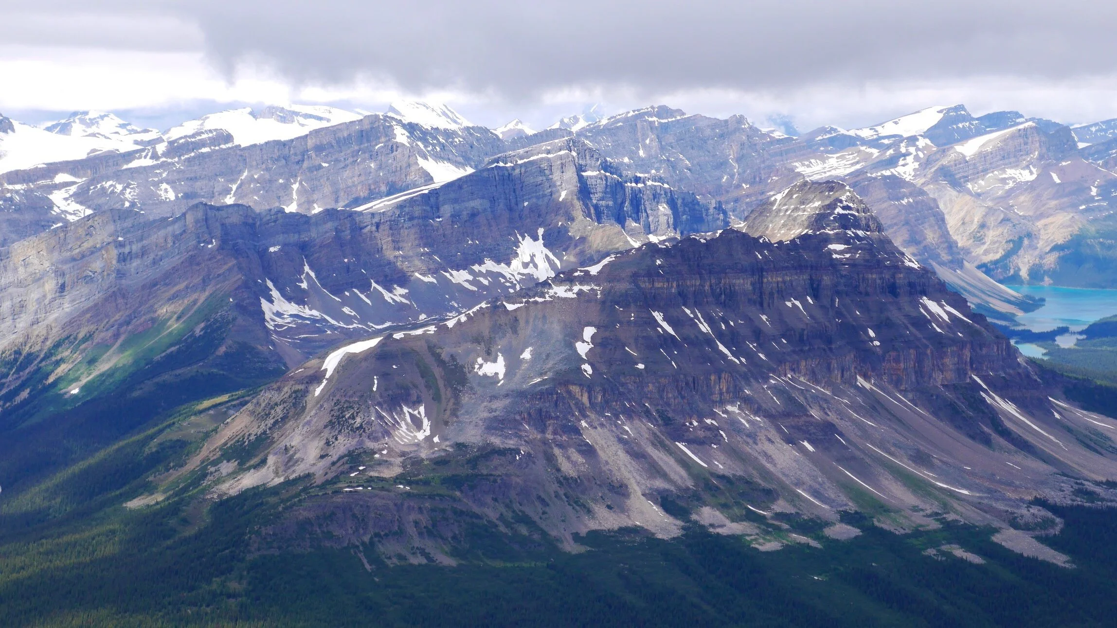
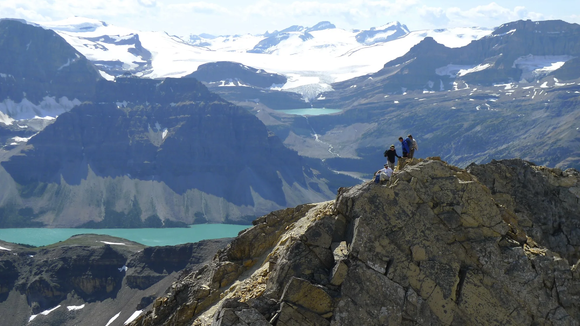
The Presidents from Whaleback
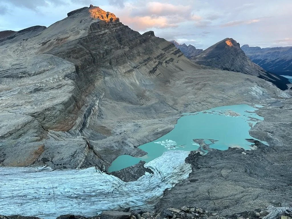
The Presidents Glacier and the col where we camped
The Presidents
Iceline trail. East slopes of Mt. President
Lake Louise group from the Iceline trail
Along the Iceline Trail
Iceline Trail
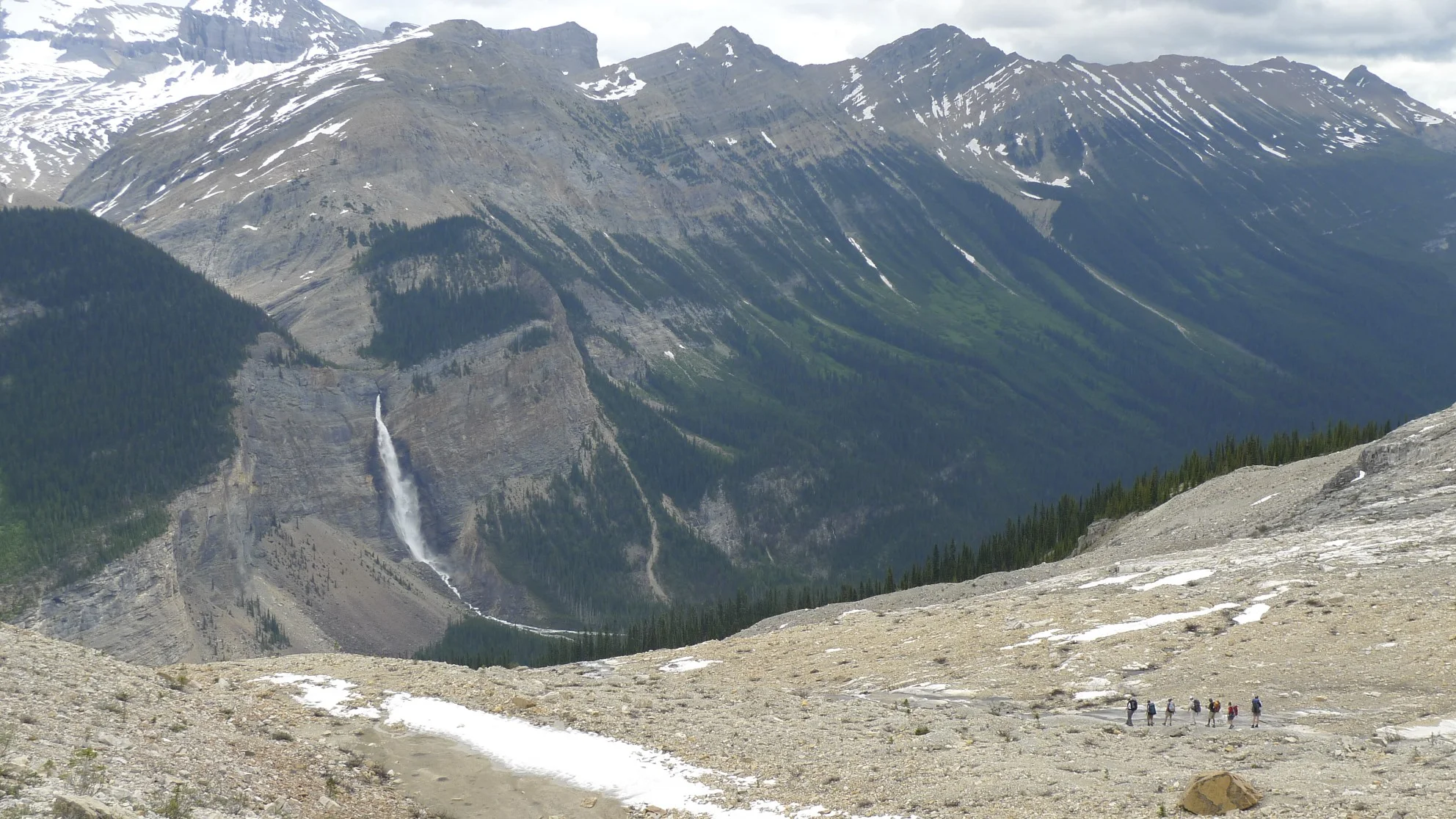
Takakkaw Falls from the Iceline Trail
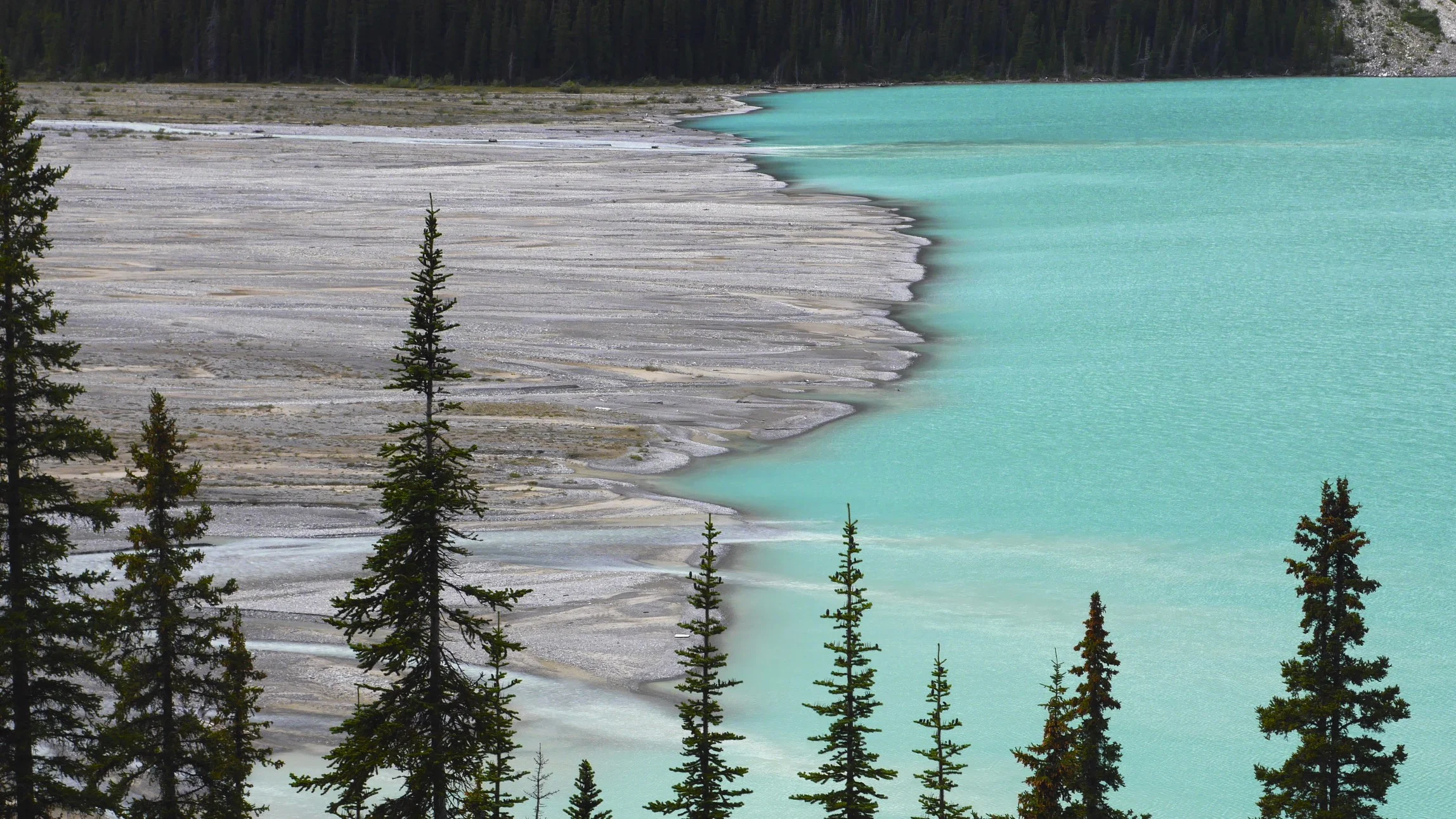
Peyto Lake
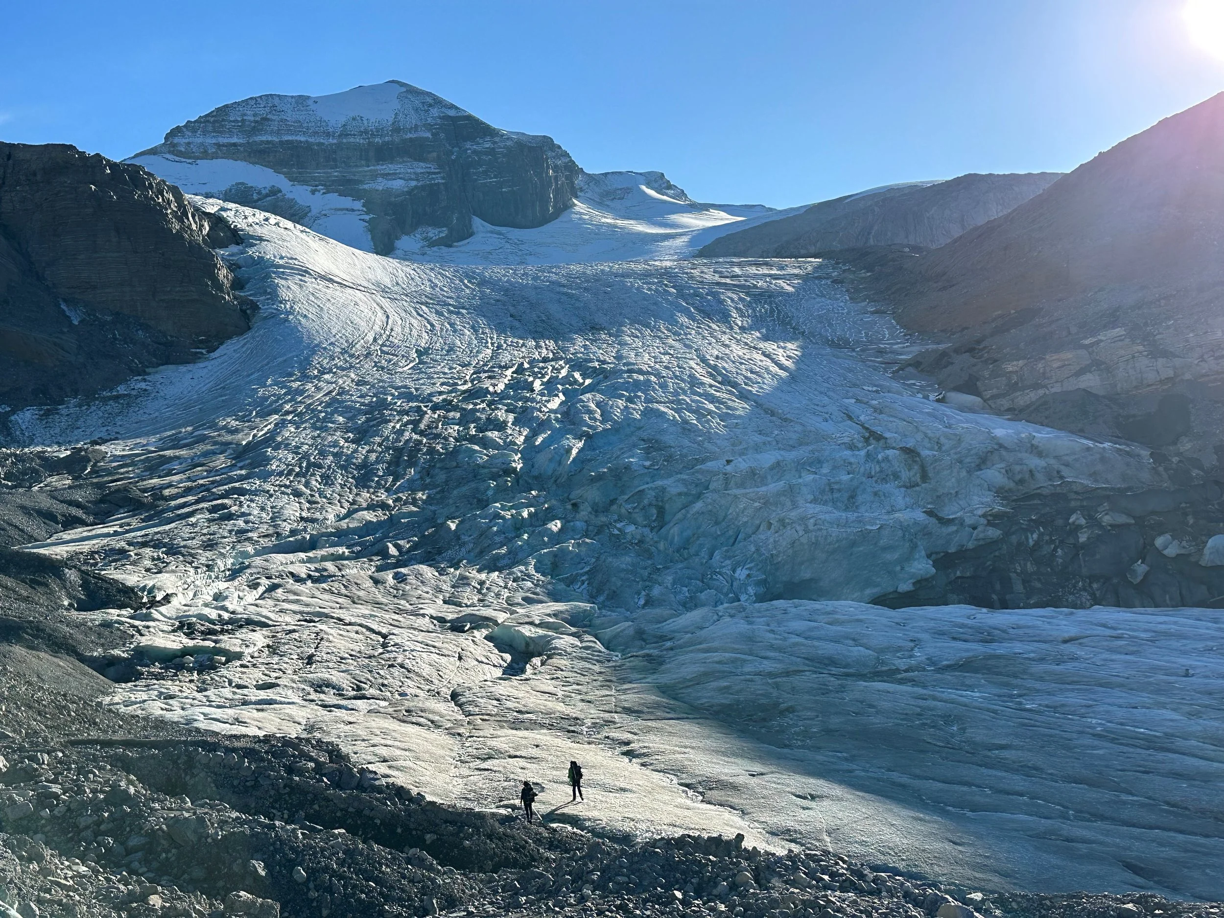
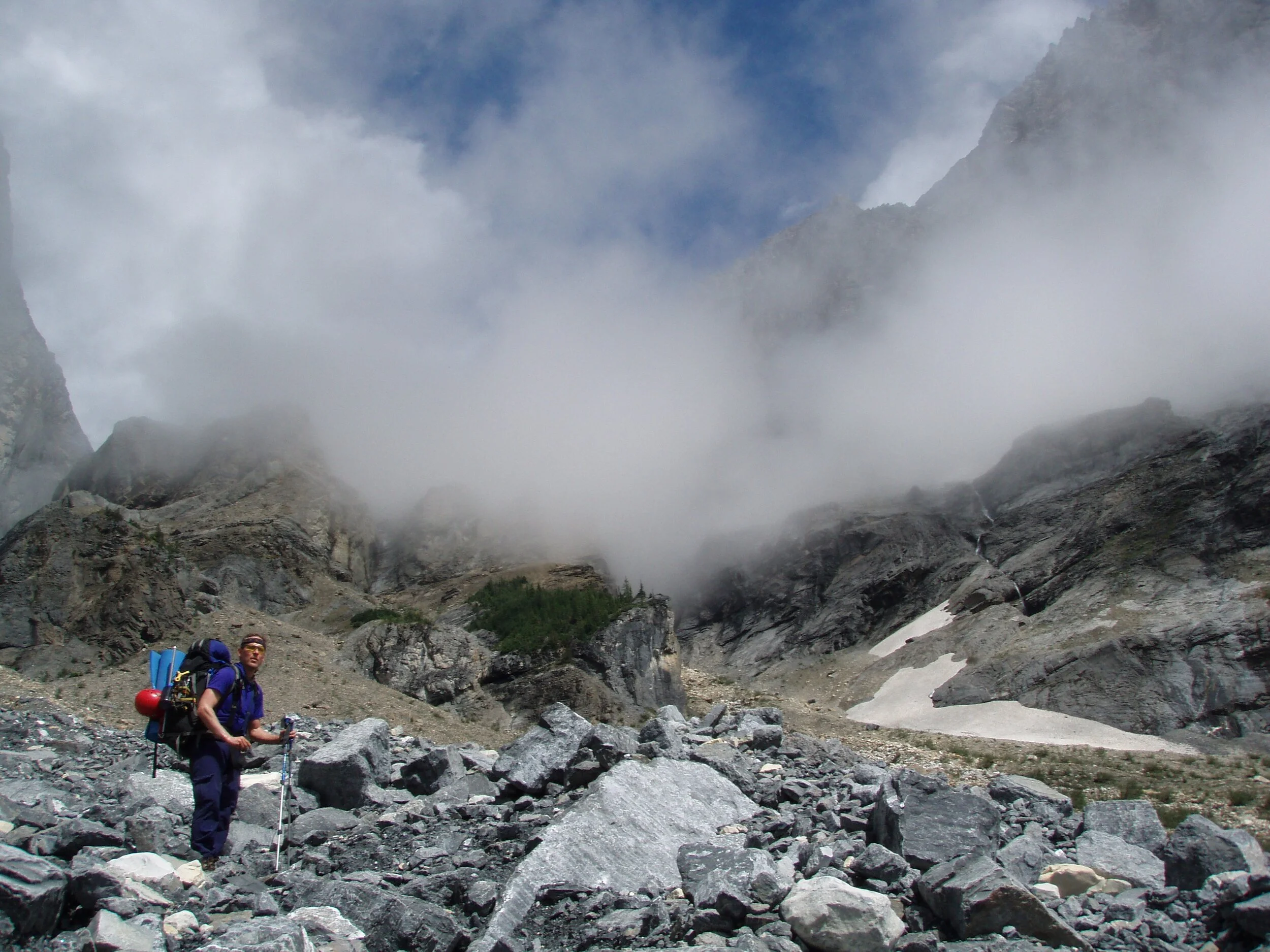
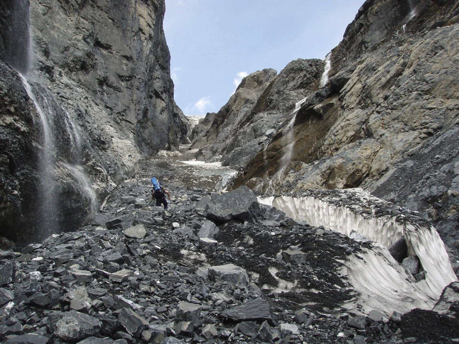
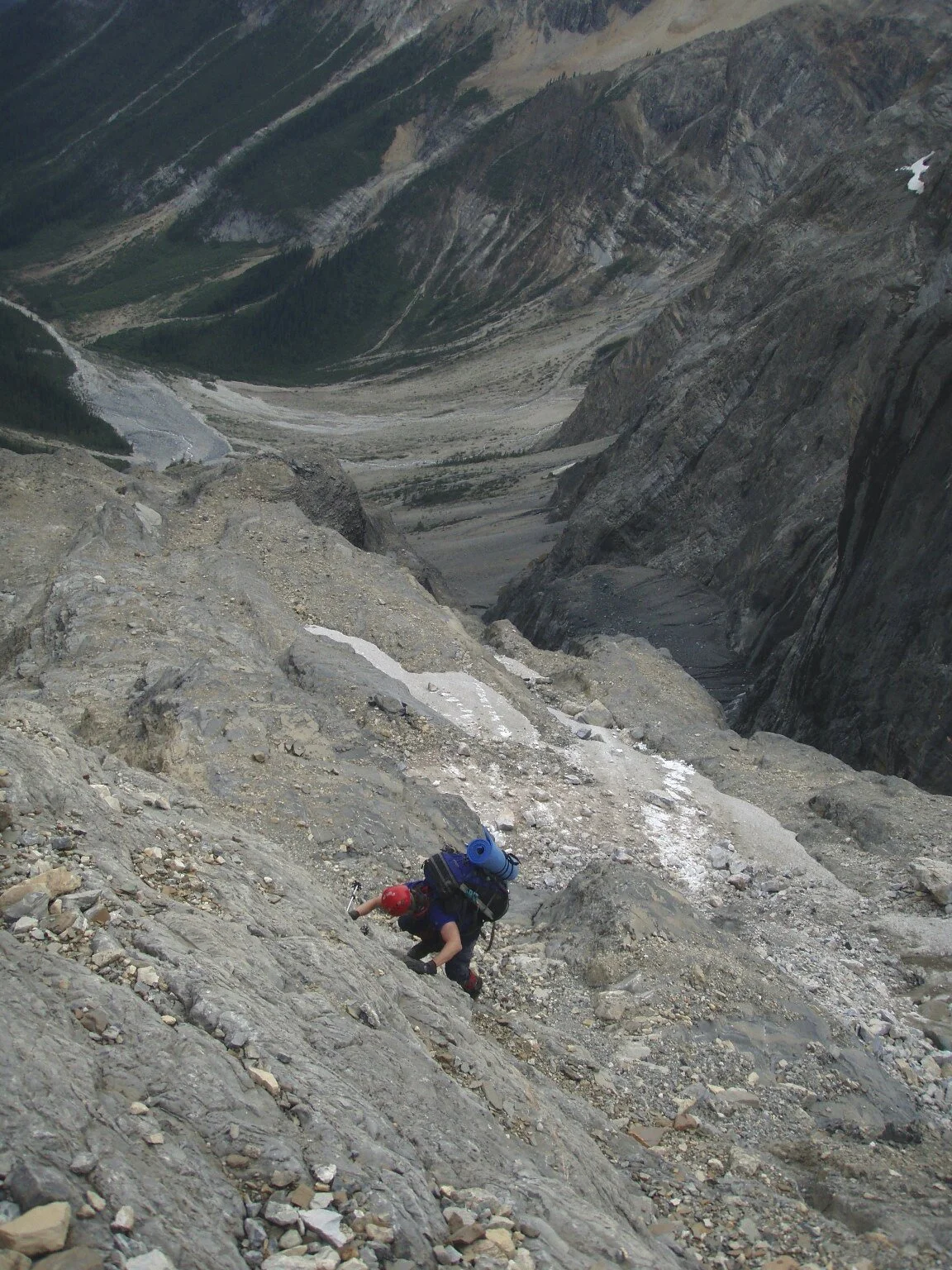
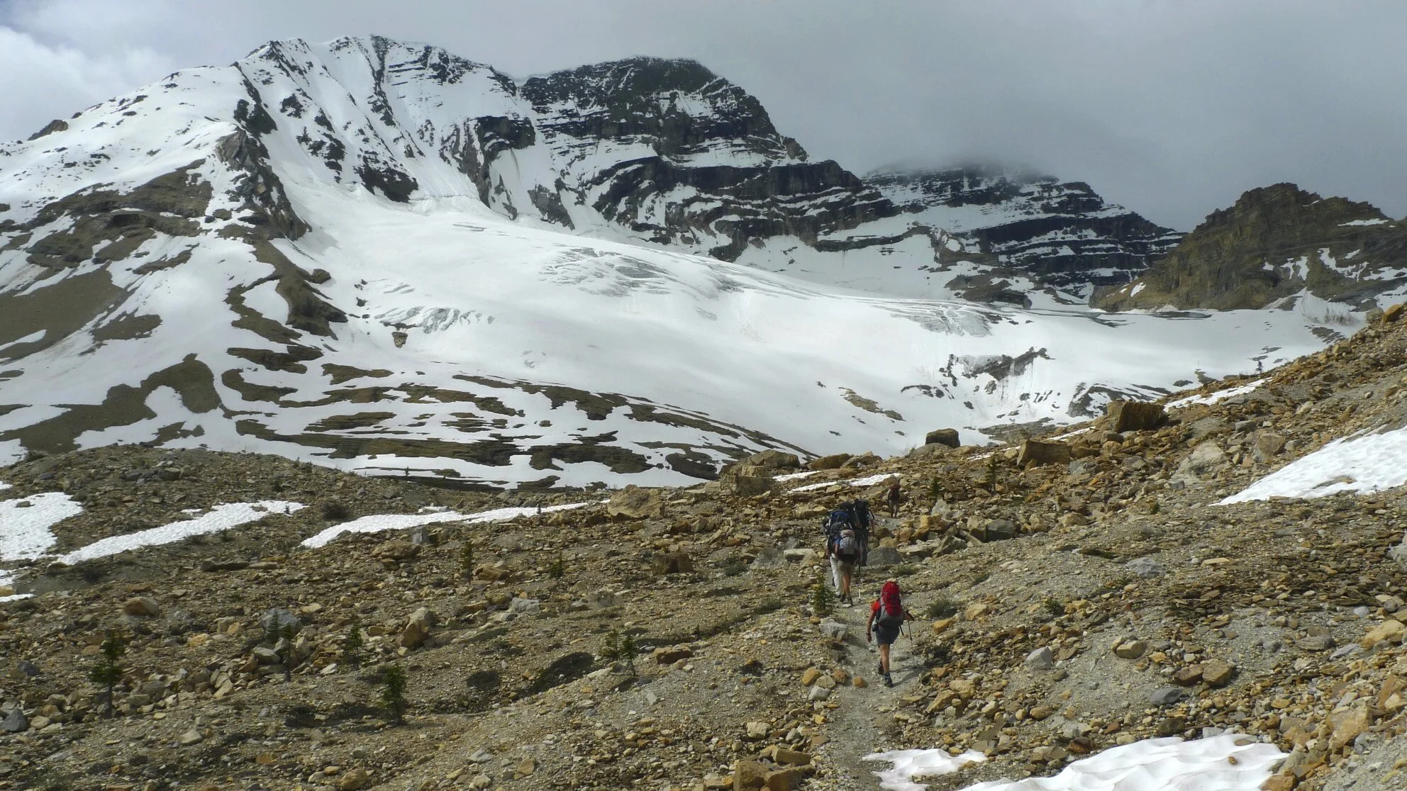
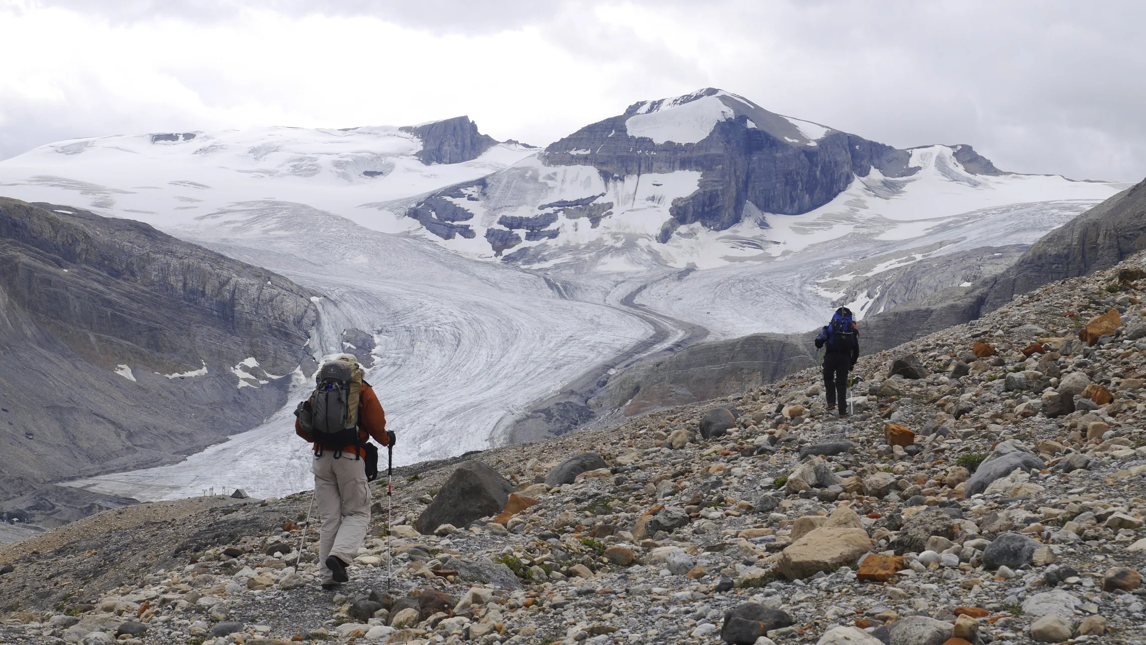
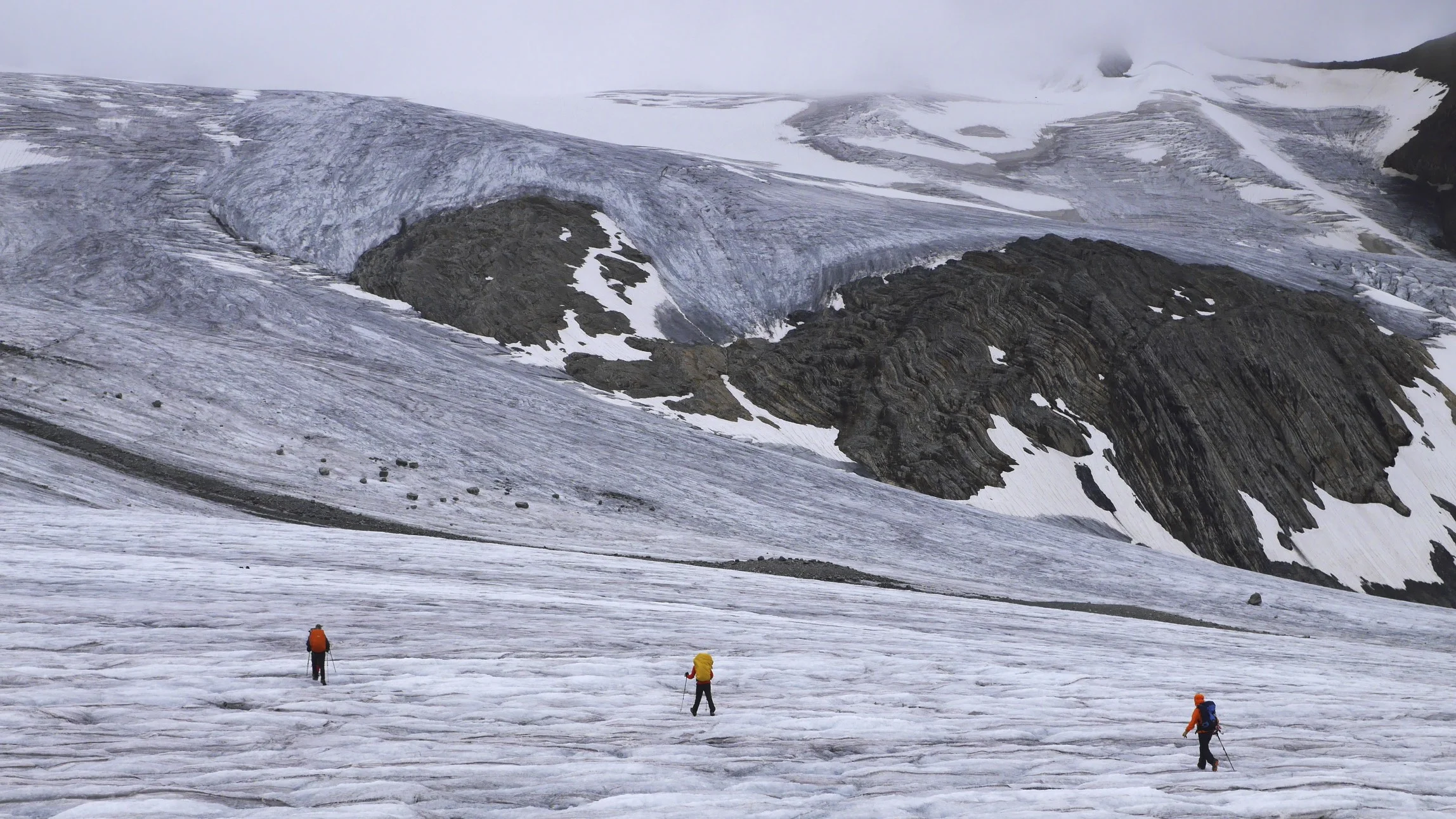
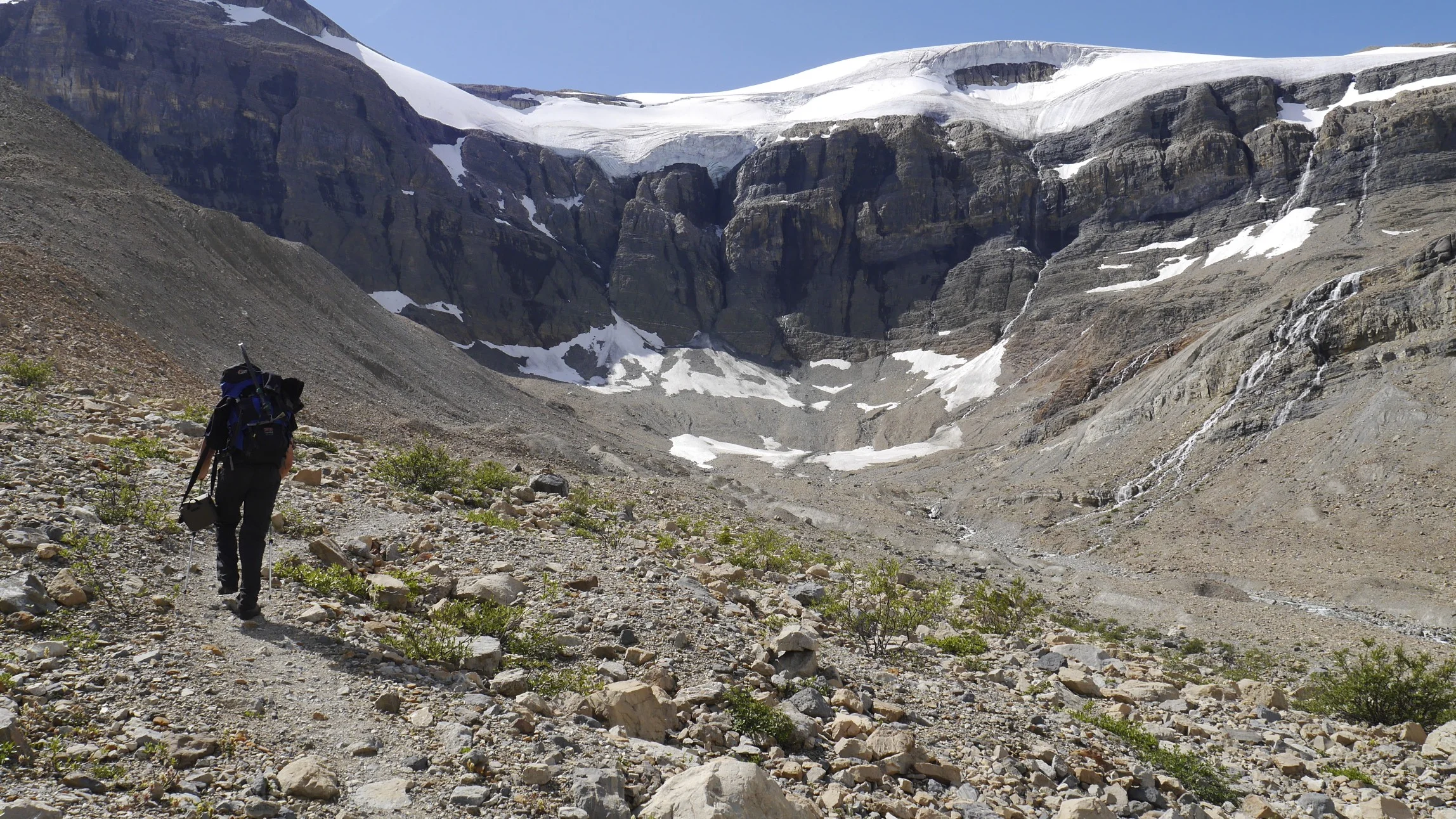
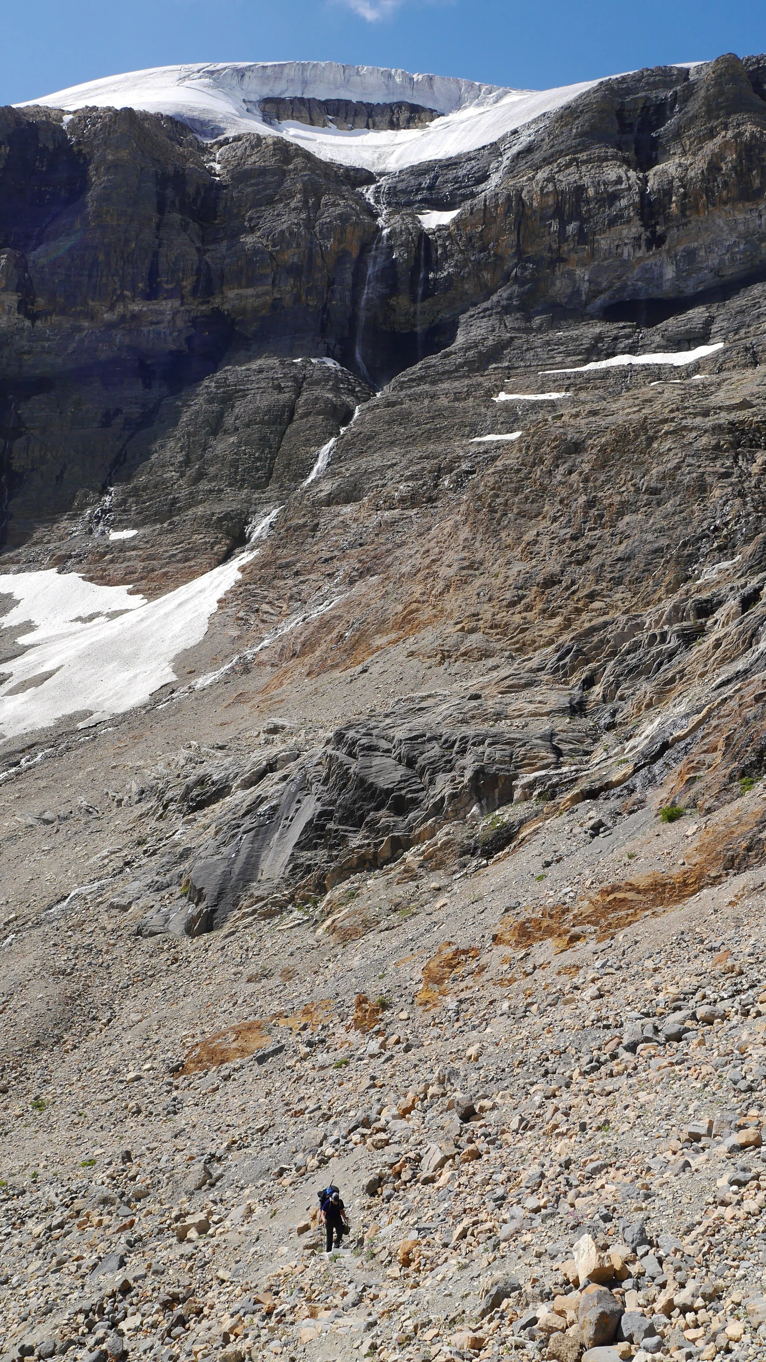
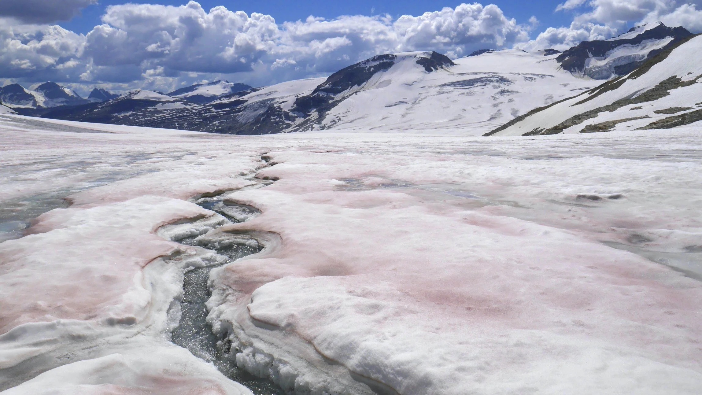
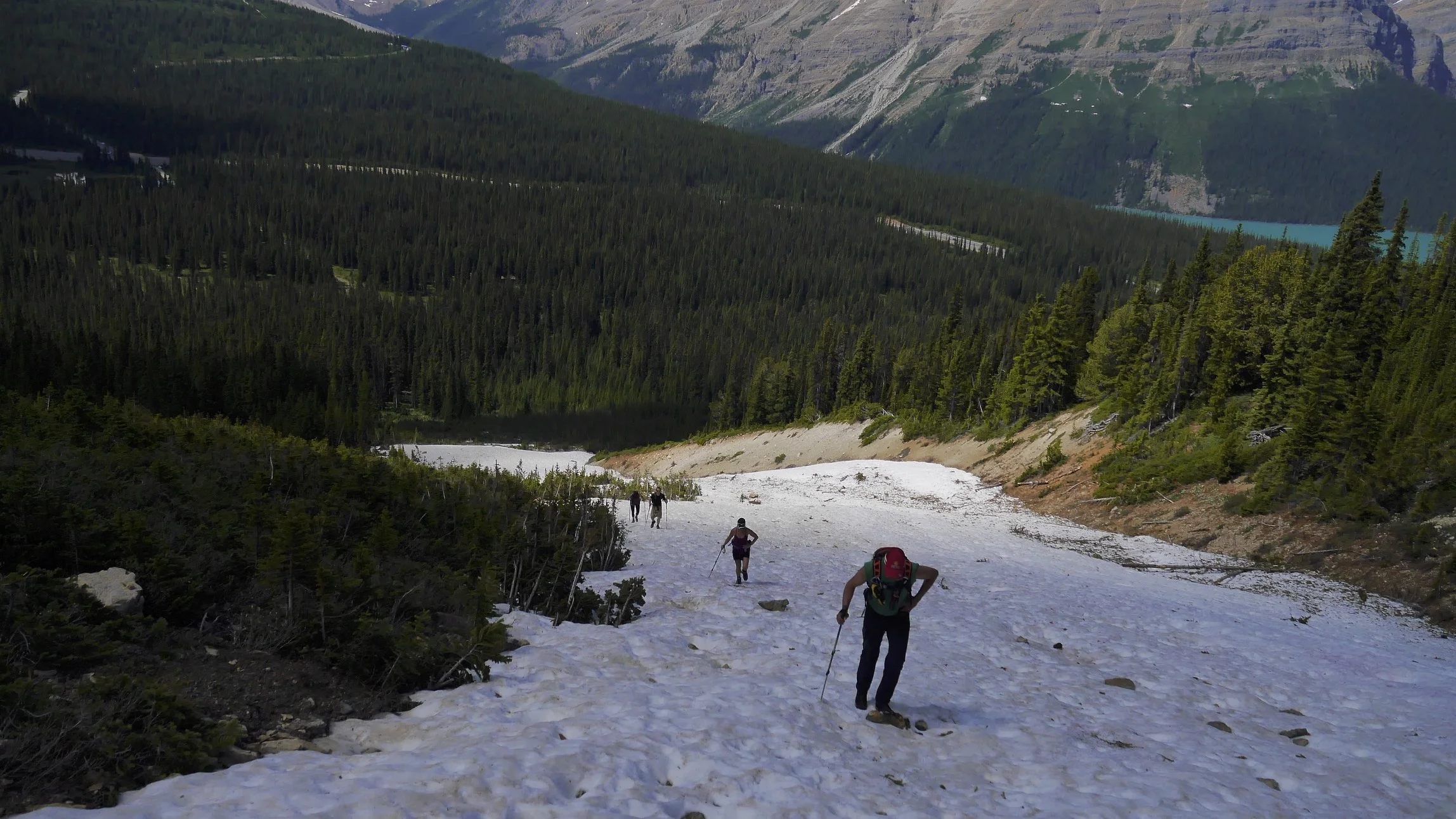
On the way to the Peyto Glacier
Peyto Glacier
Peyto Glacier
Peyto Glacier
Peyto Glacier
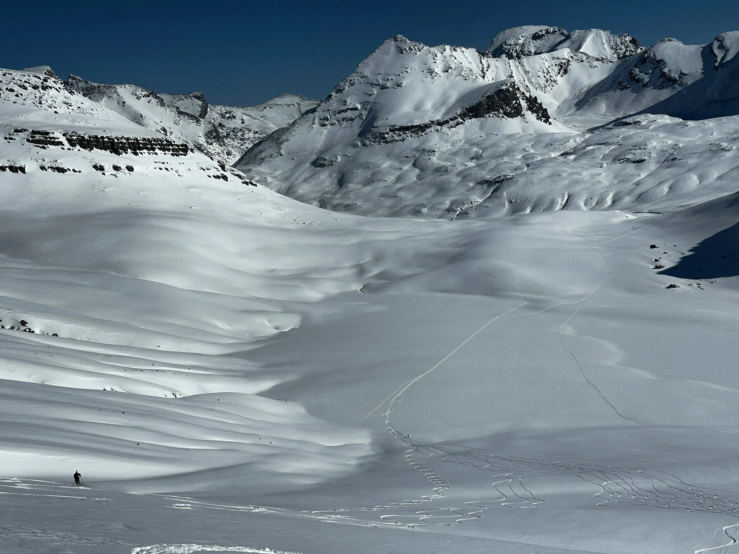
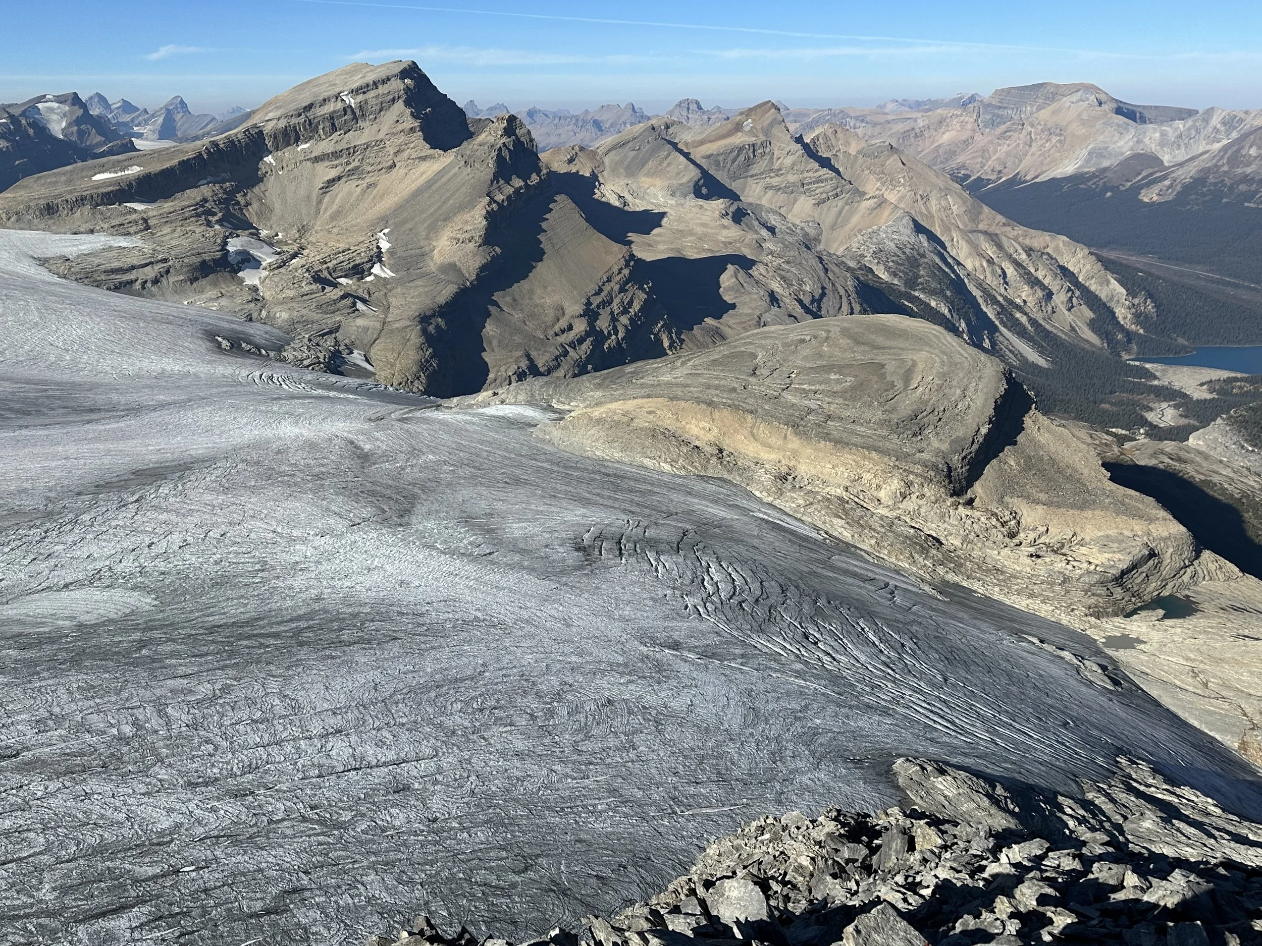
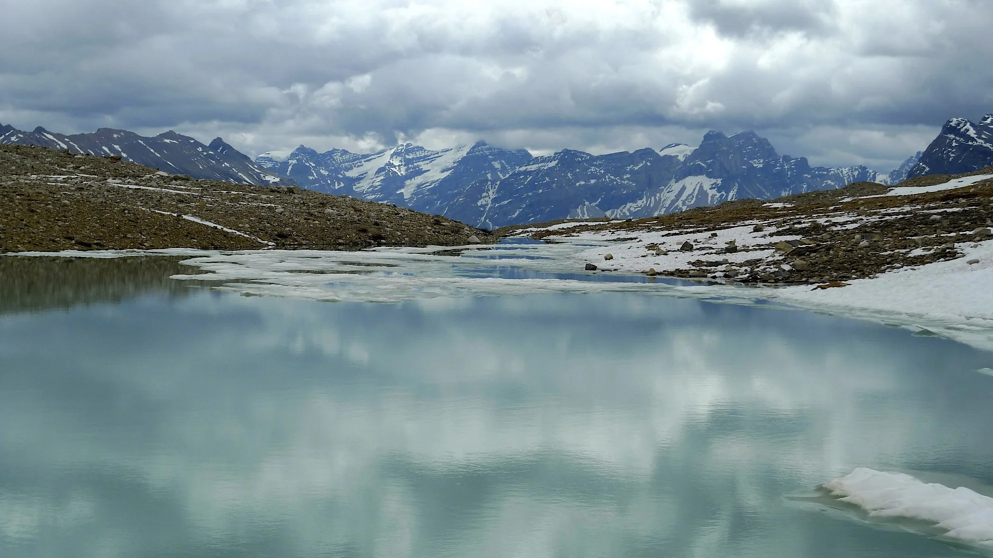
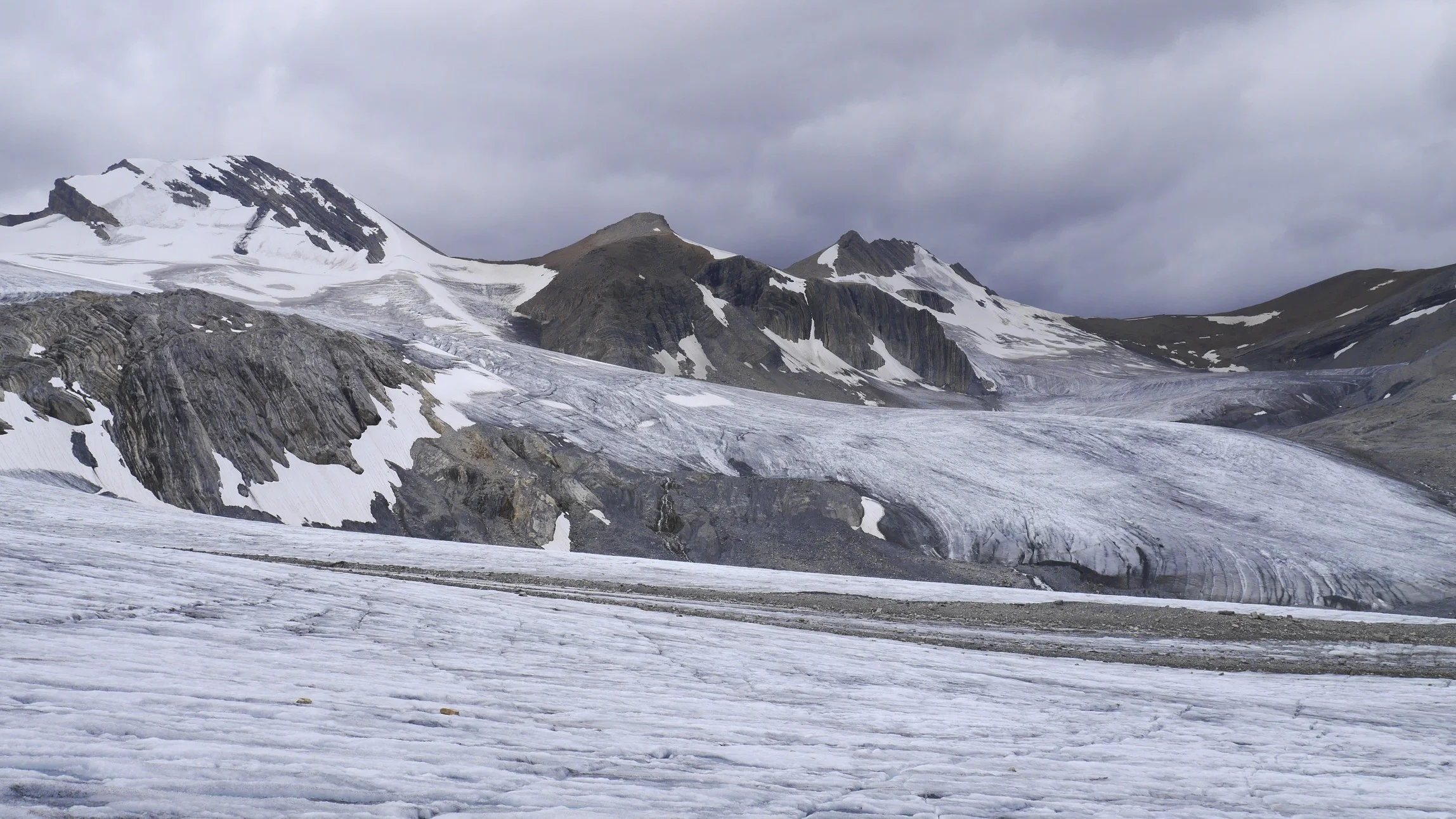
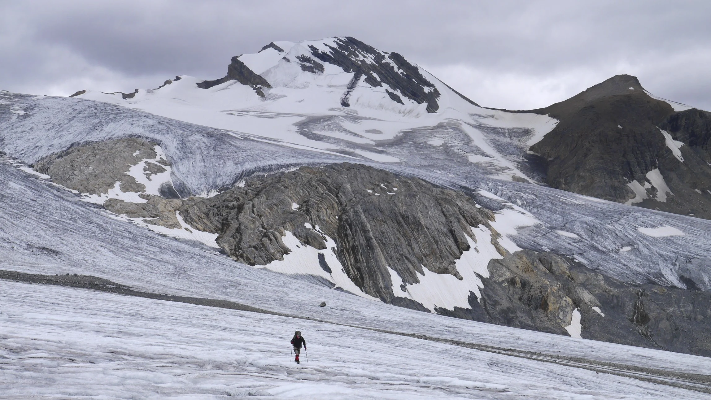
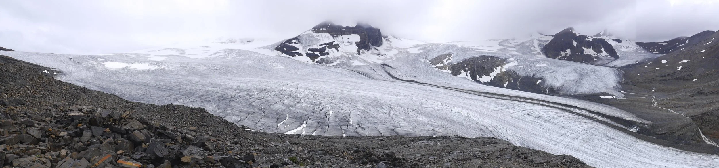
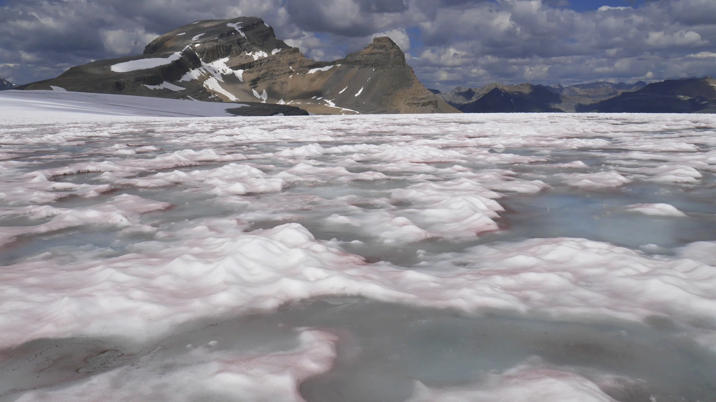
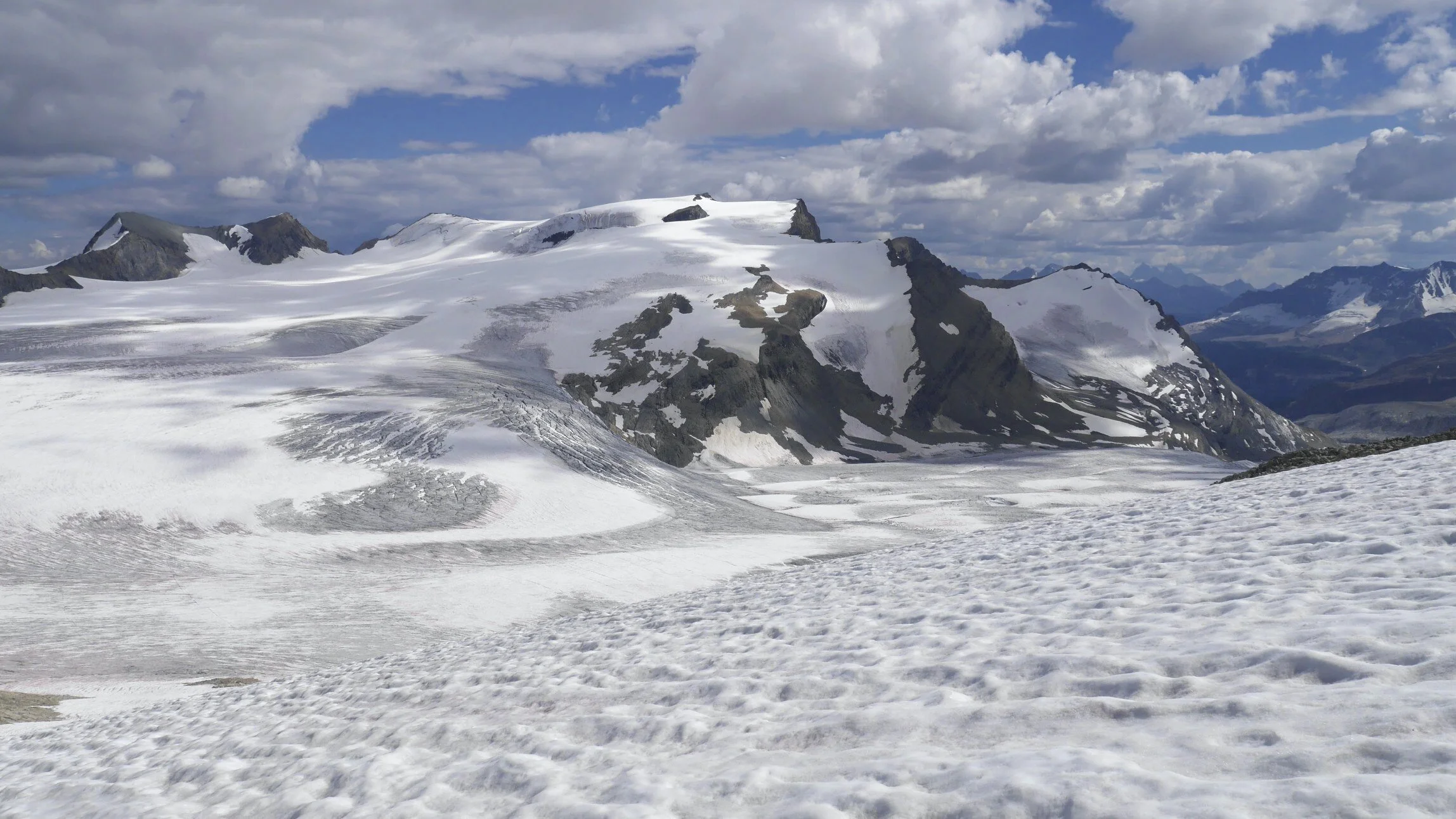
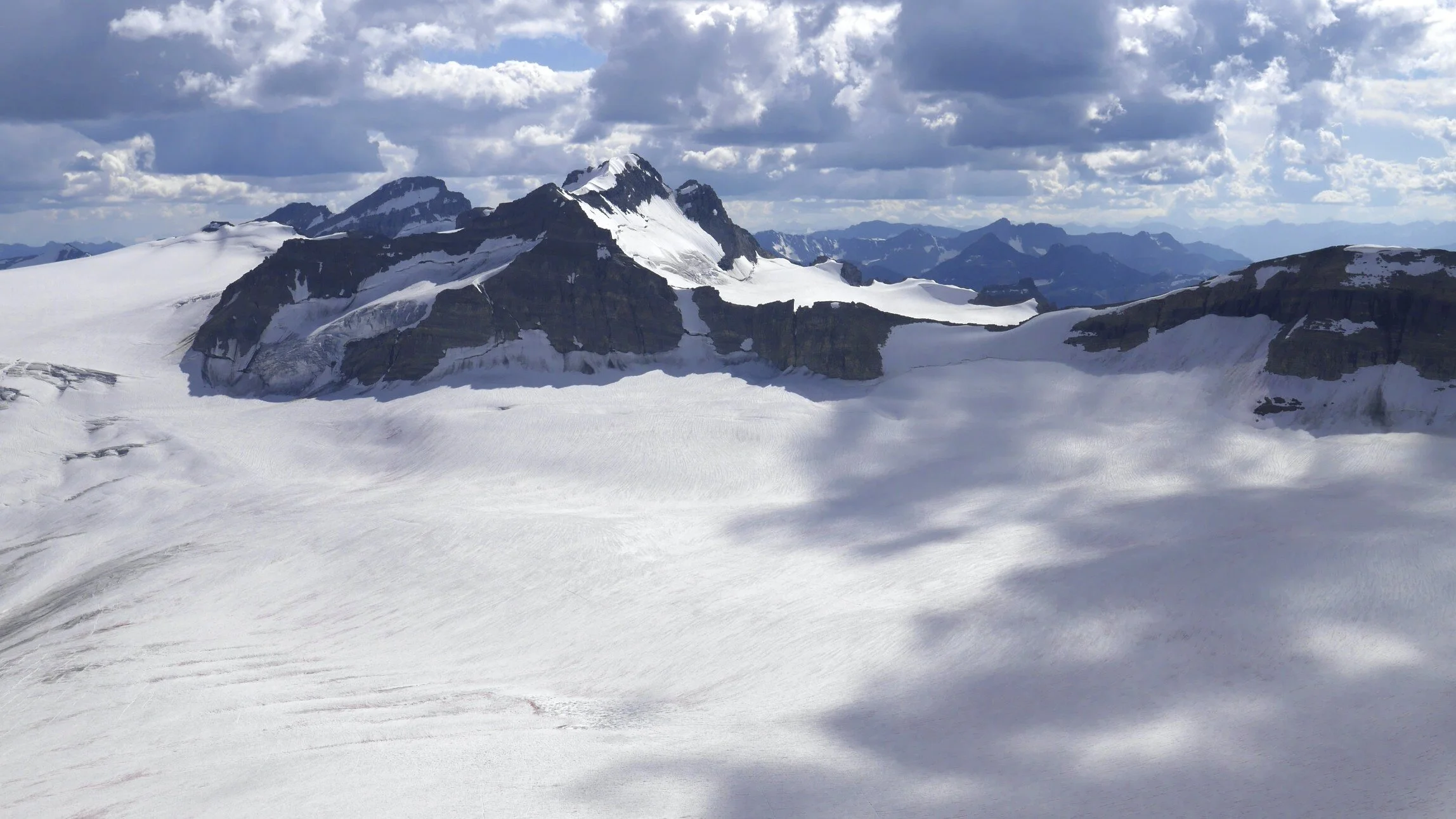
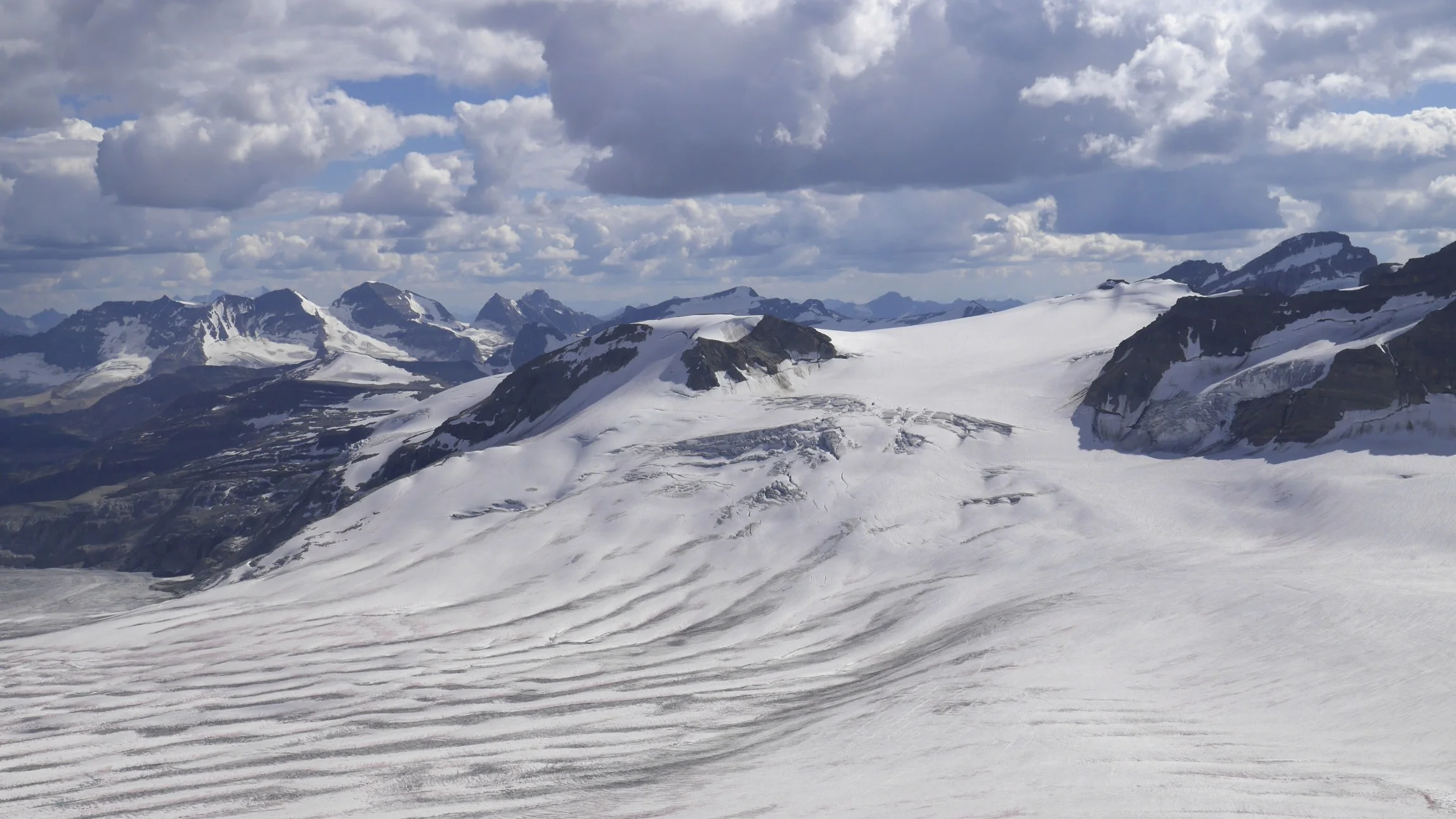
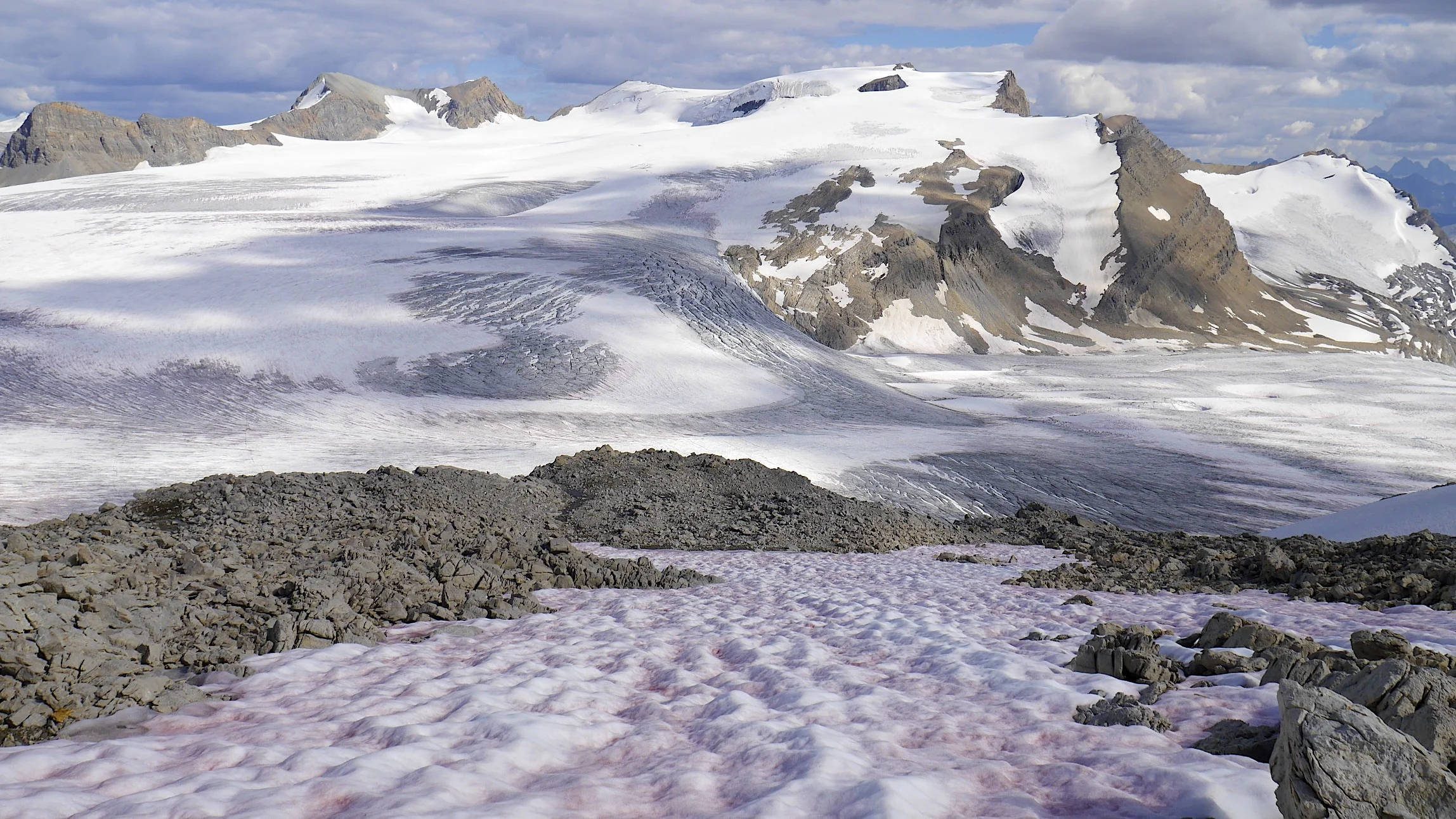
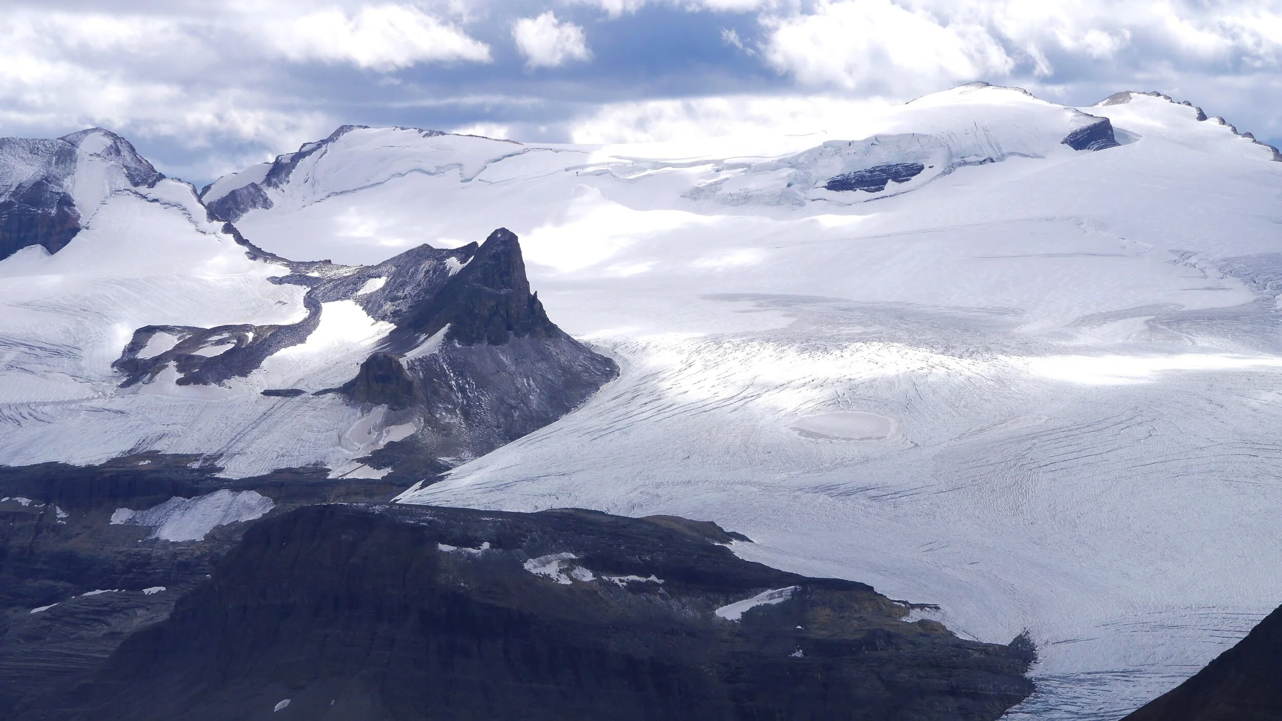
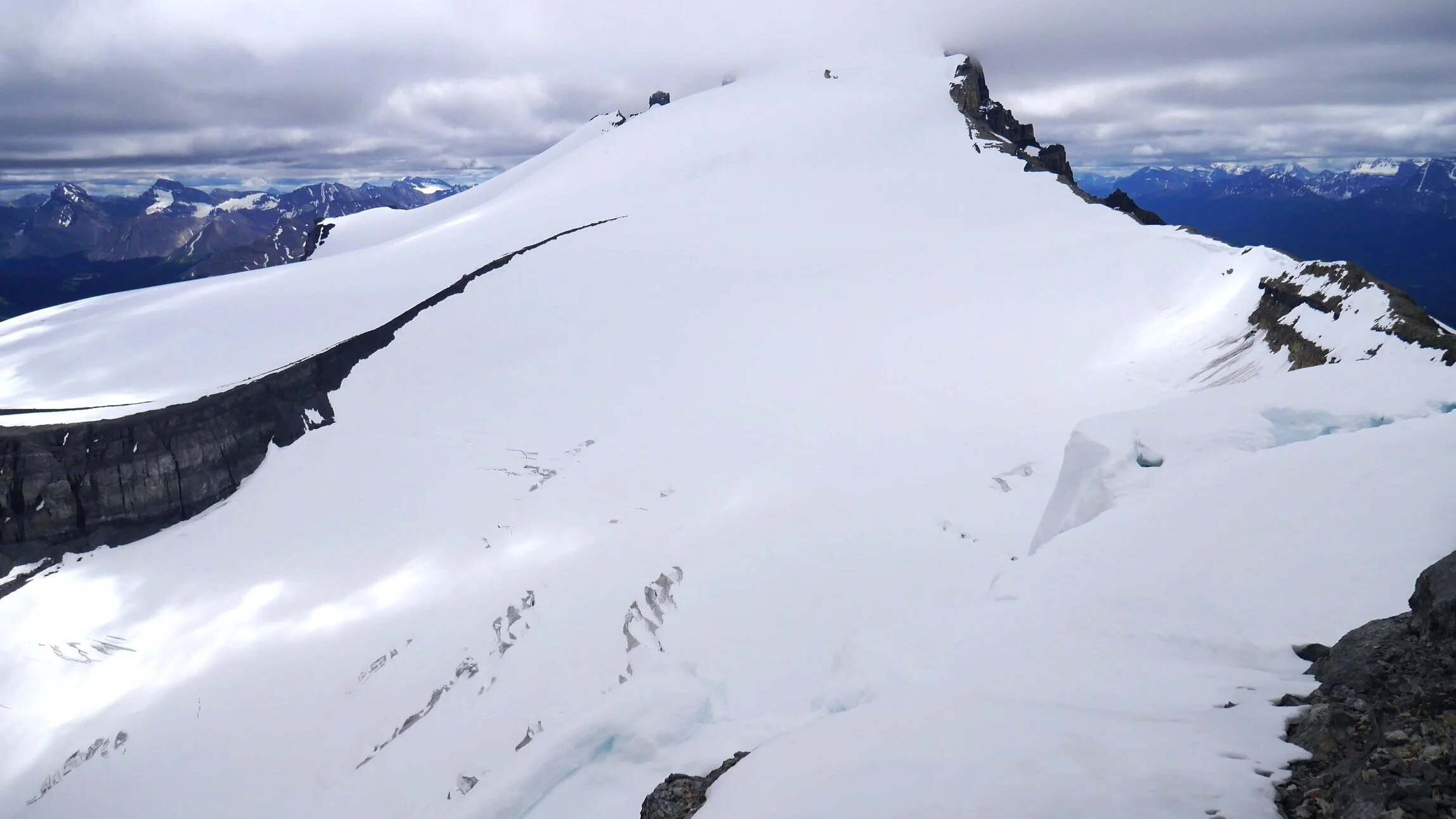
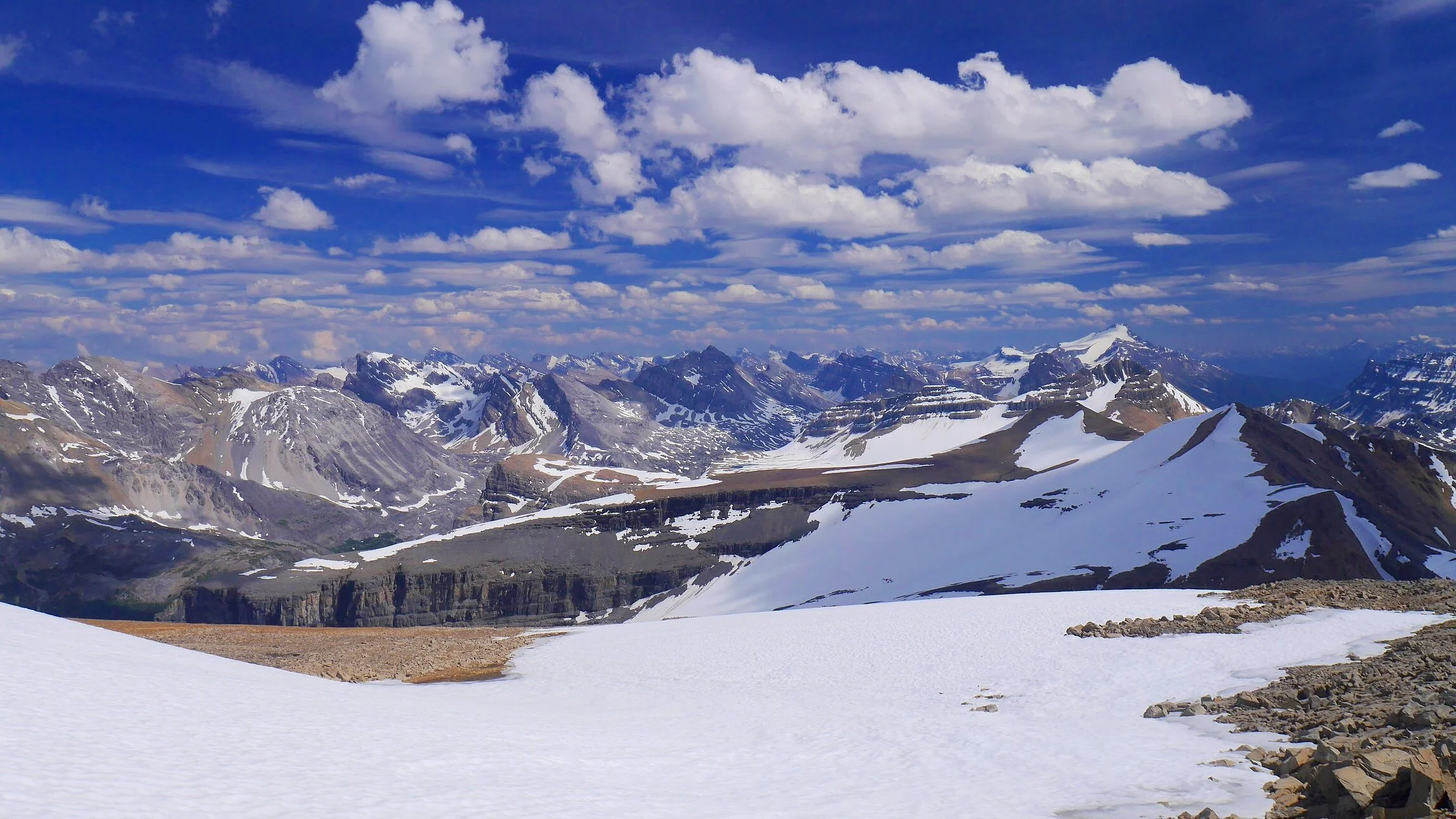
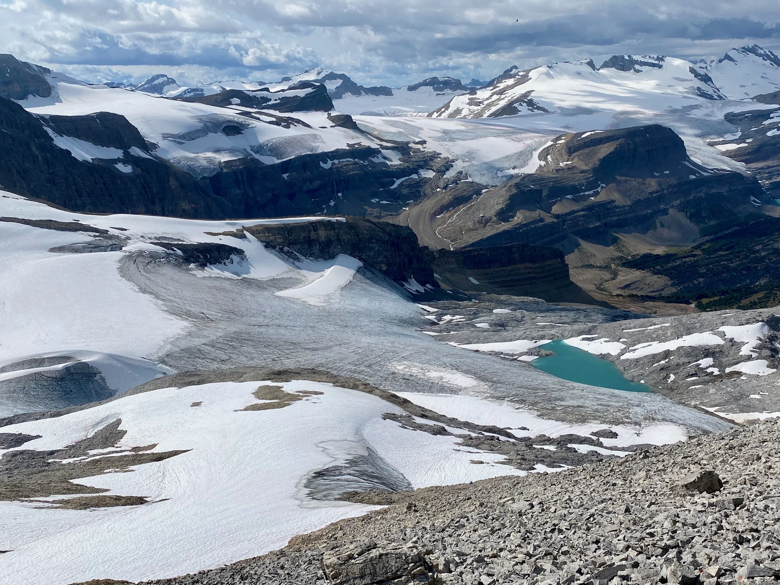
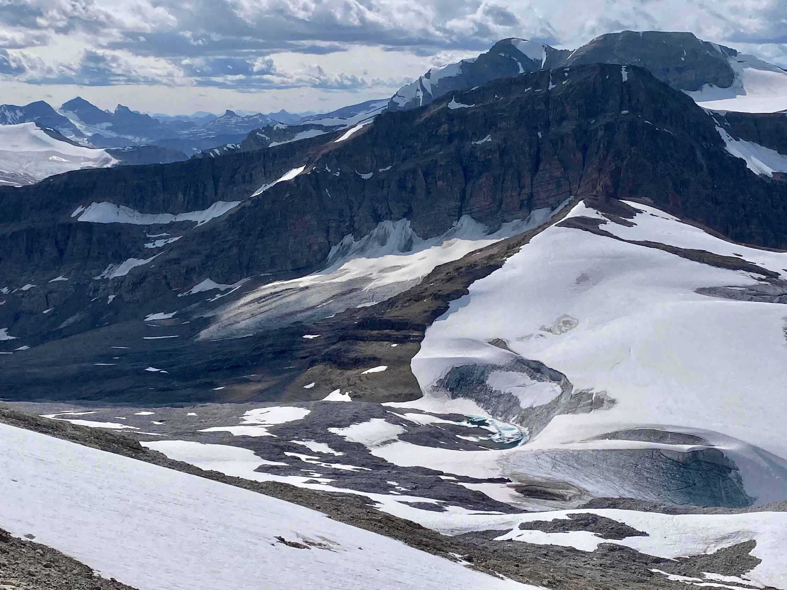
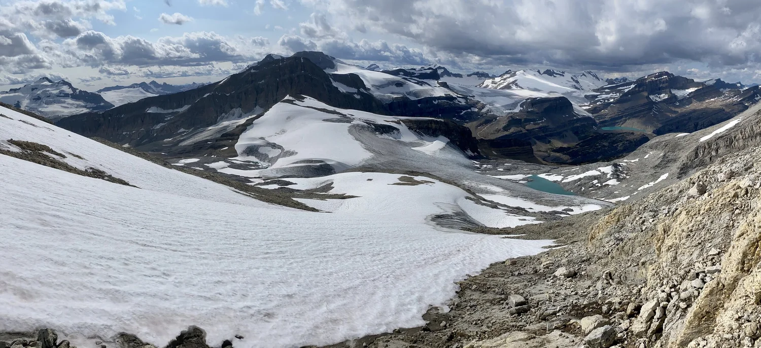
Wapta Icefield
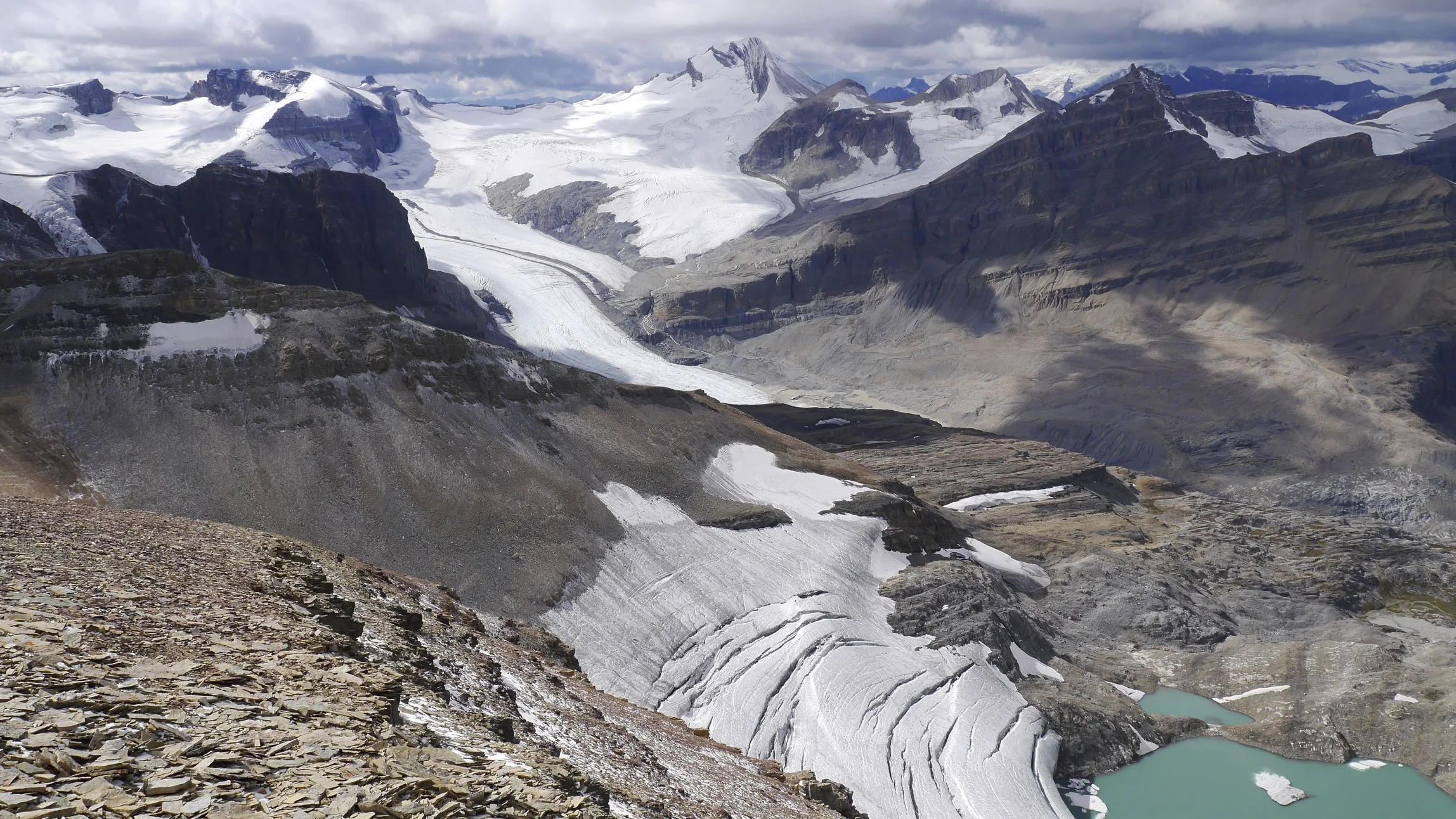
The view of the upper part of the Peyto Glacier
Wapta Icefield
The Wapta Icefield
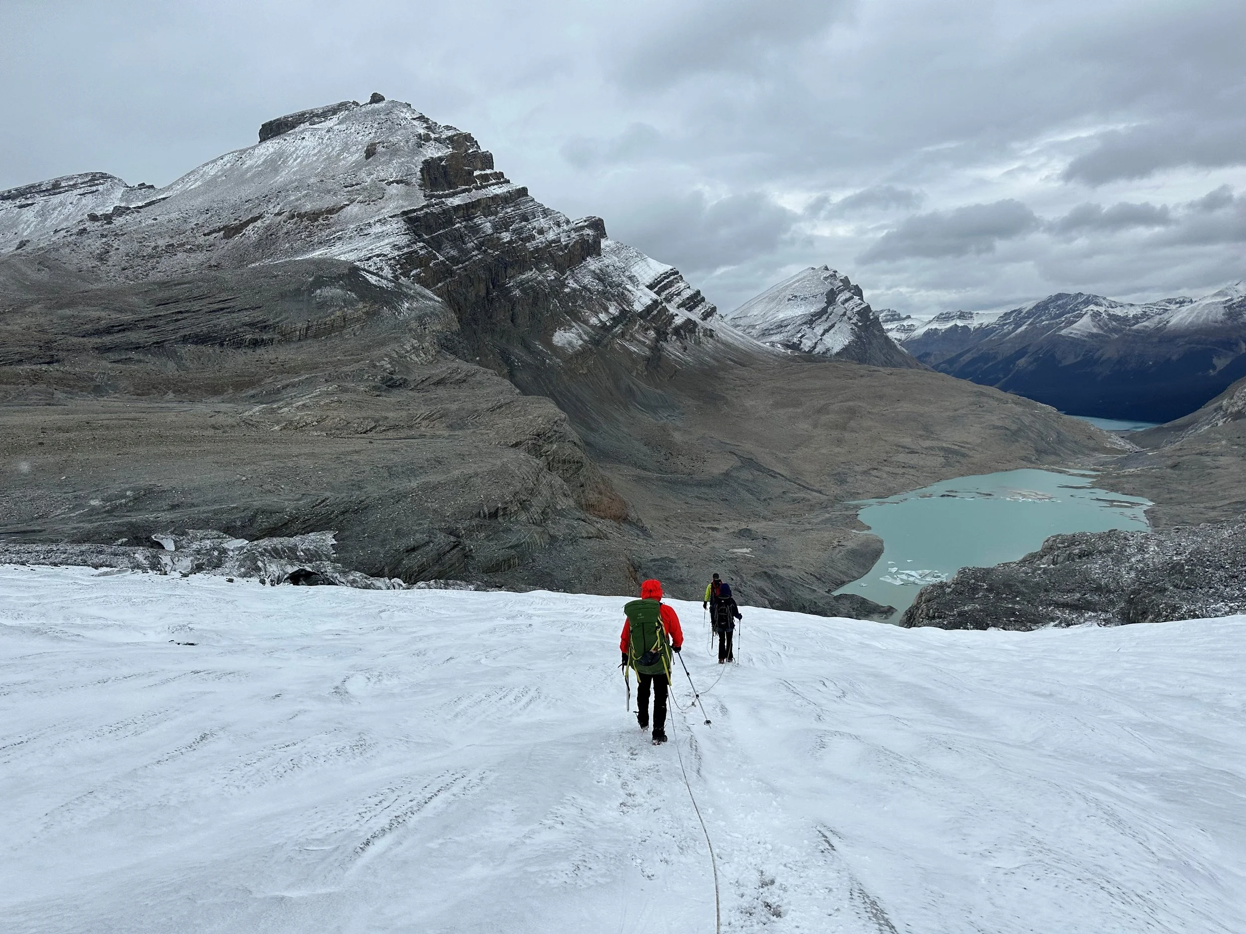
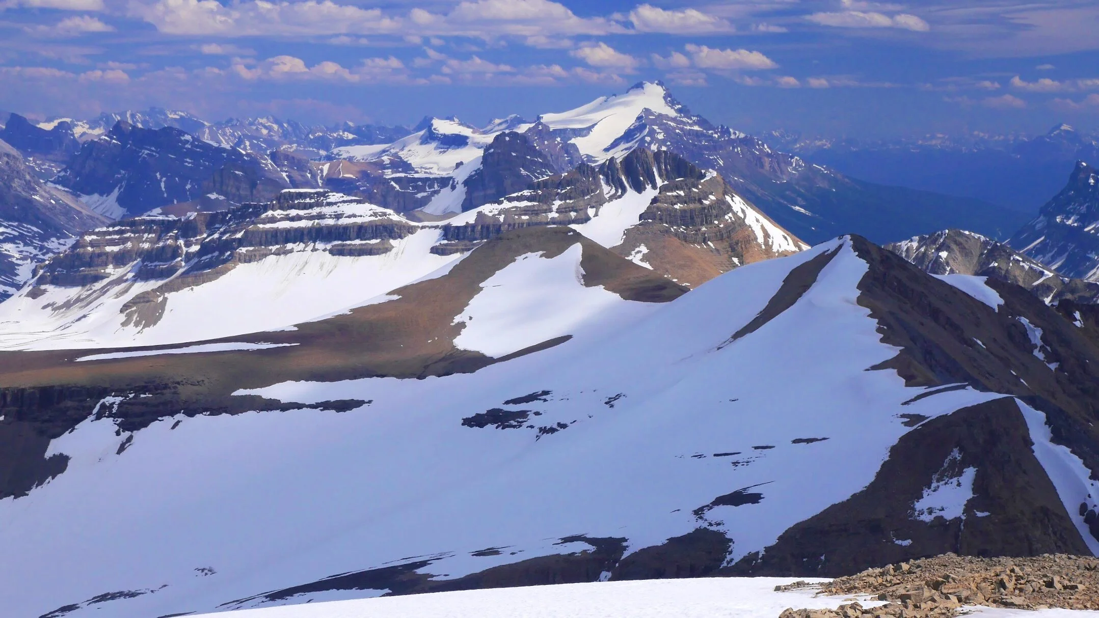
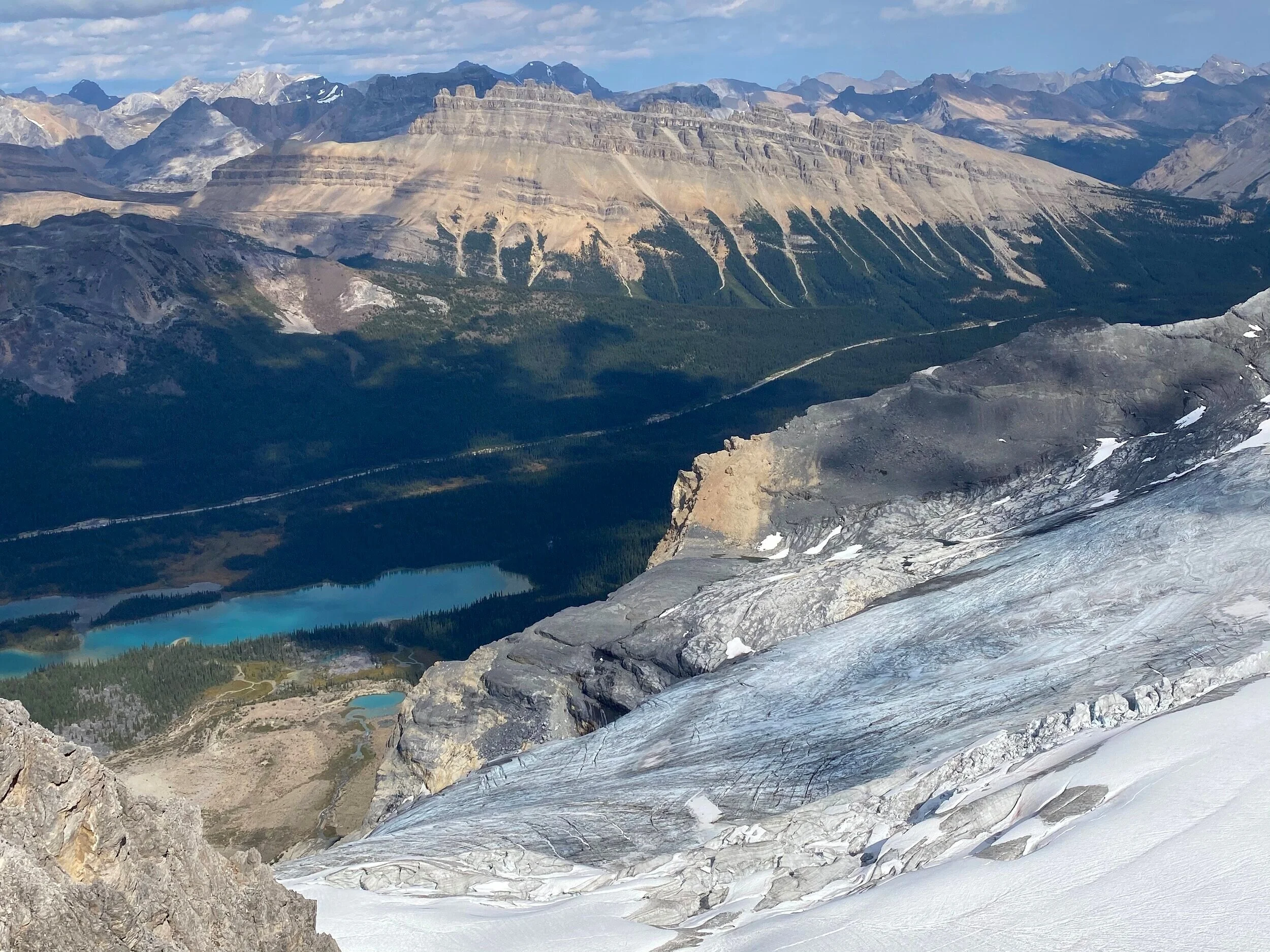
Peyto Glacier
Peyto Glacier
Peyto Glacier
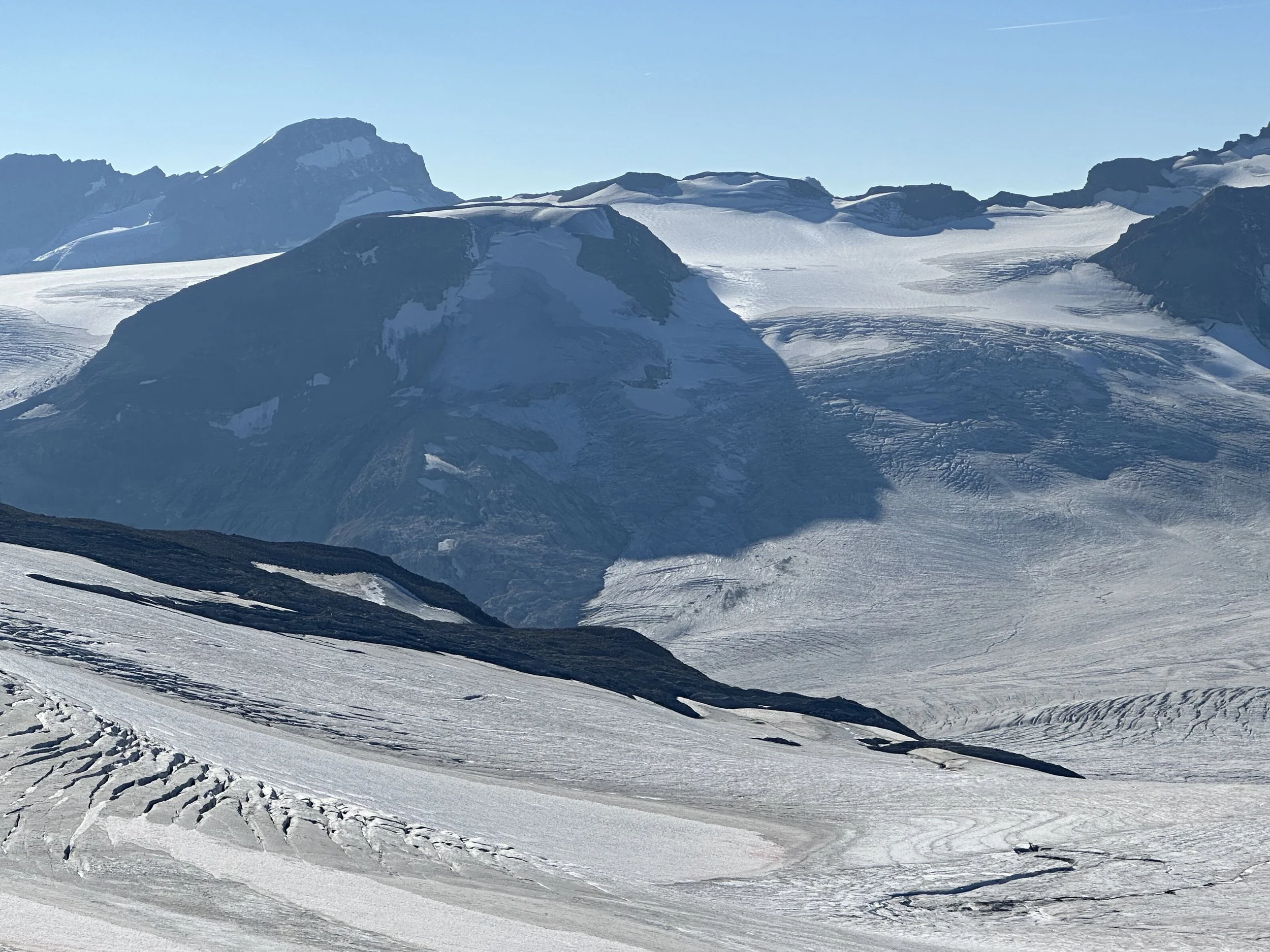
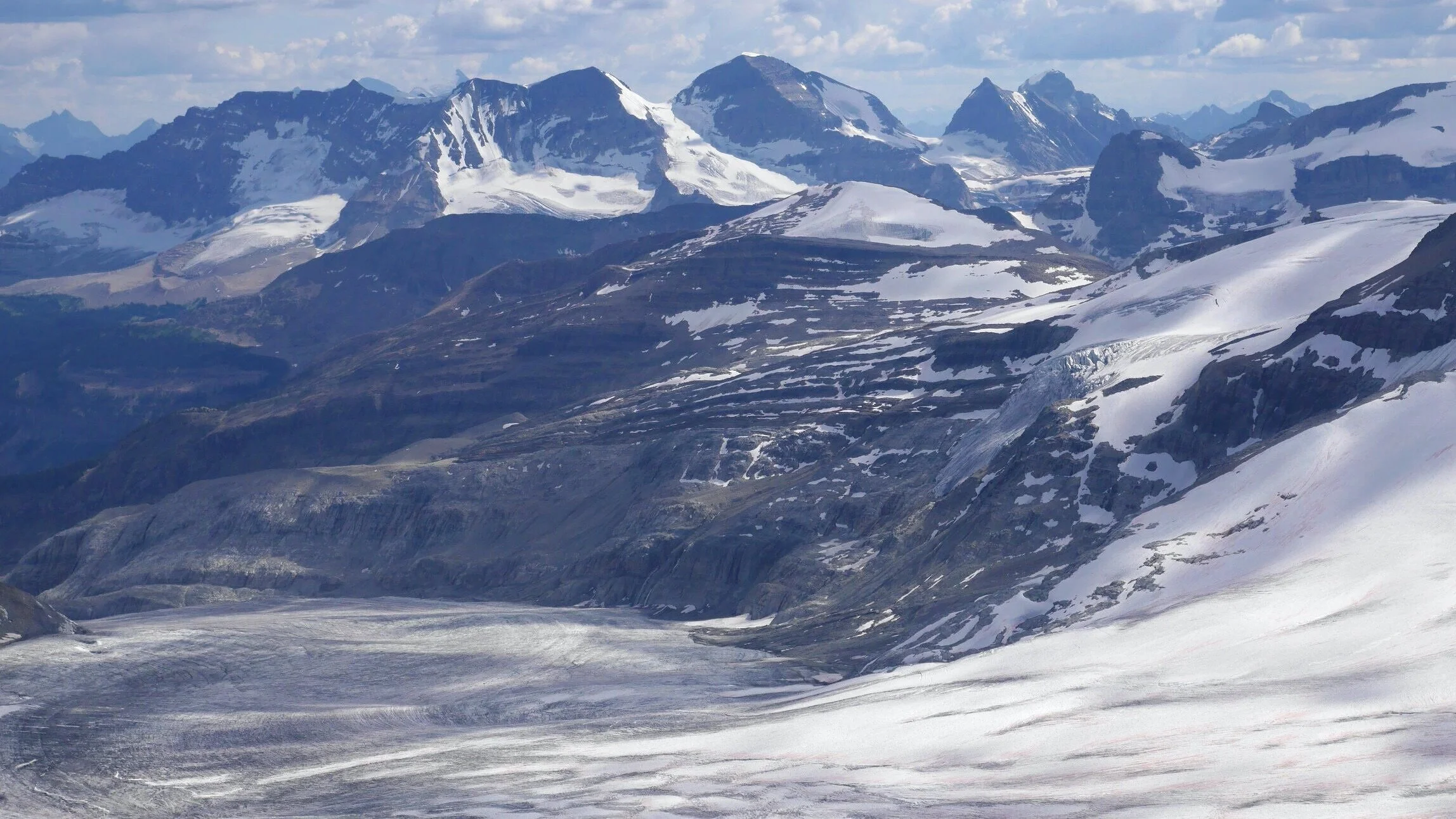
Wapta Icefield
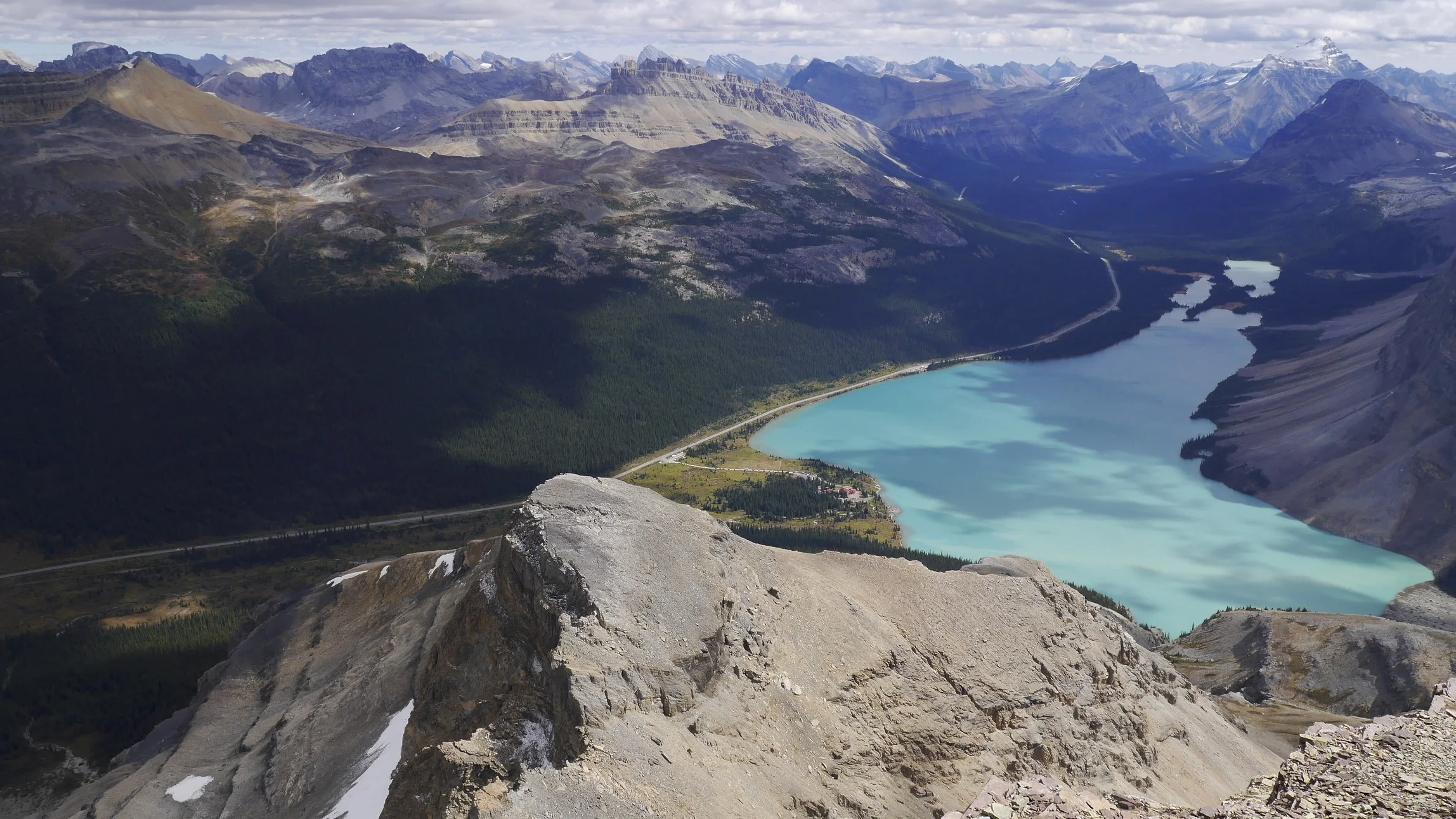
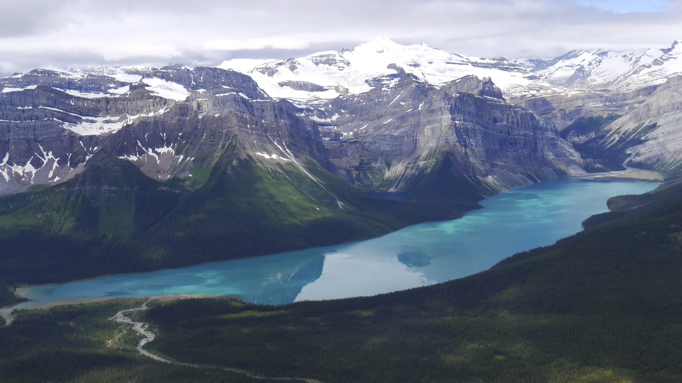
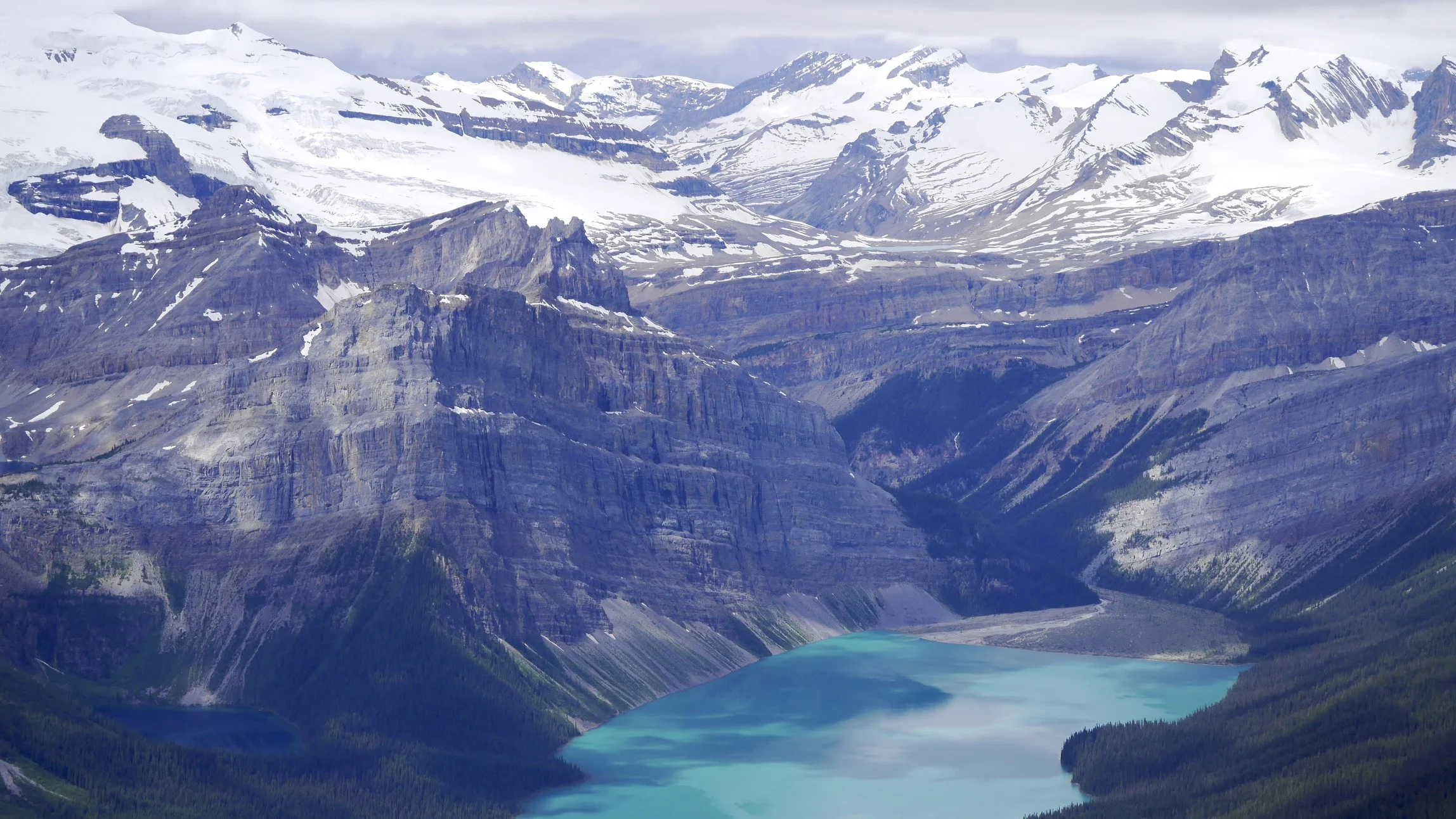
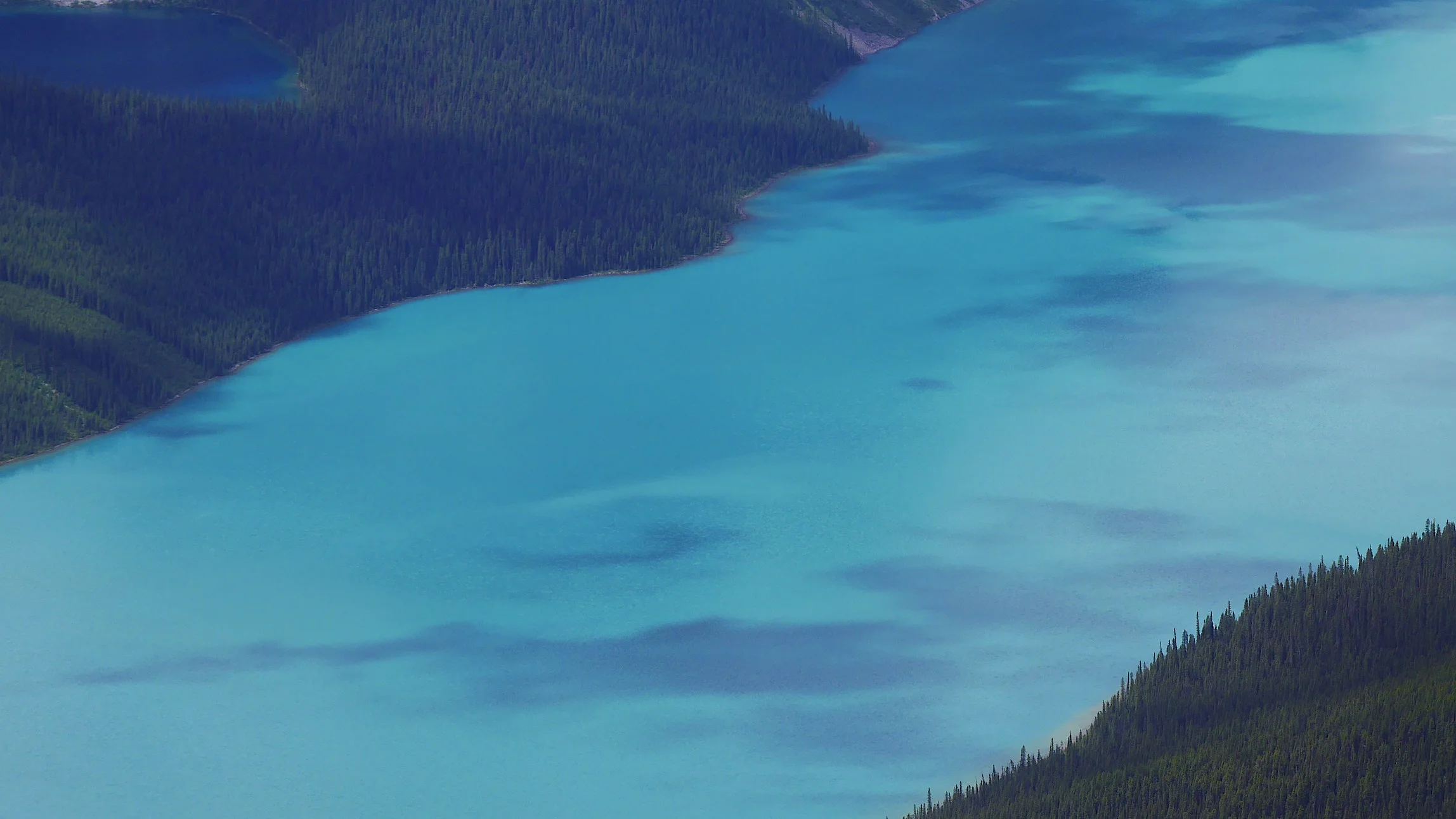
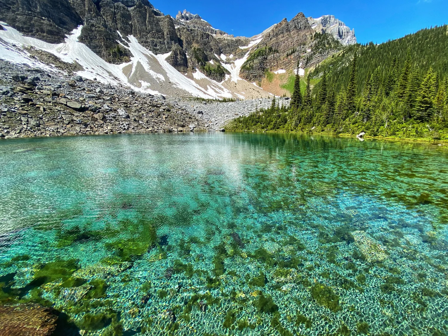
Peyto Lake
Peyto Lake
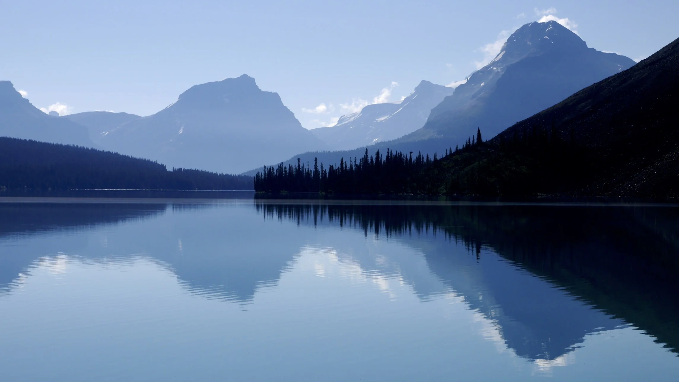
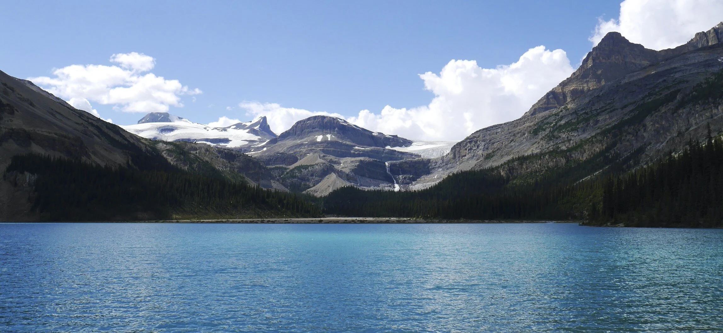
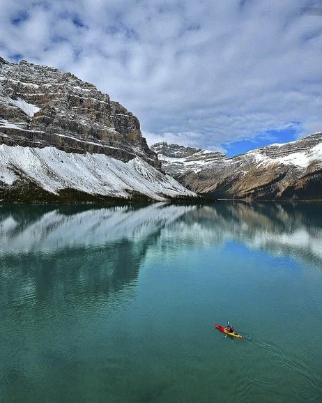
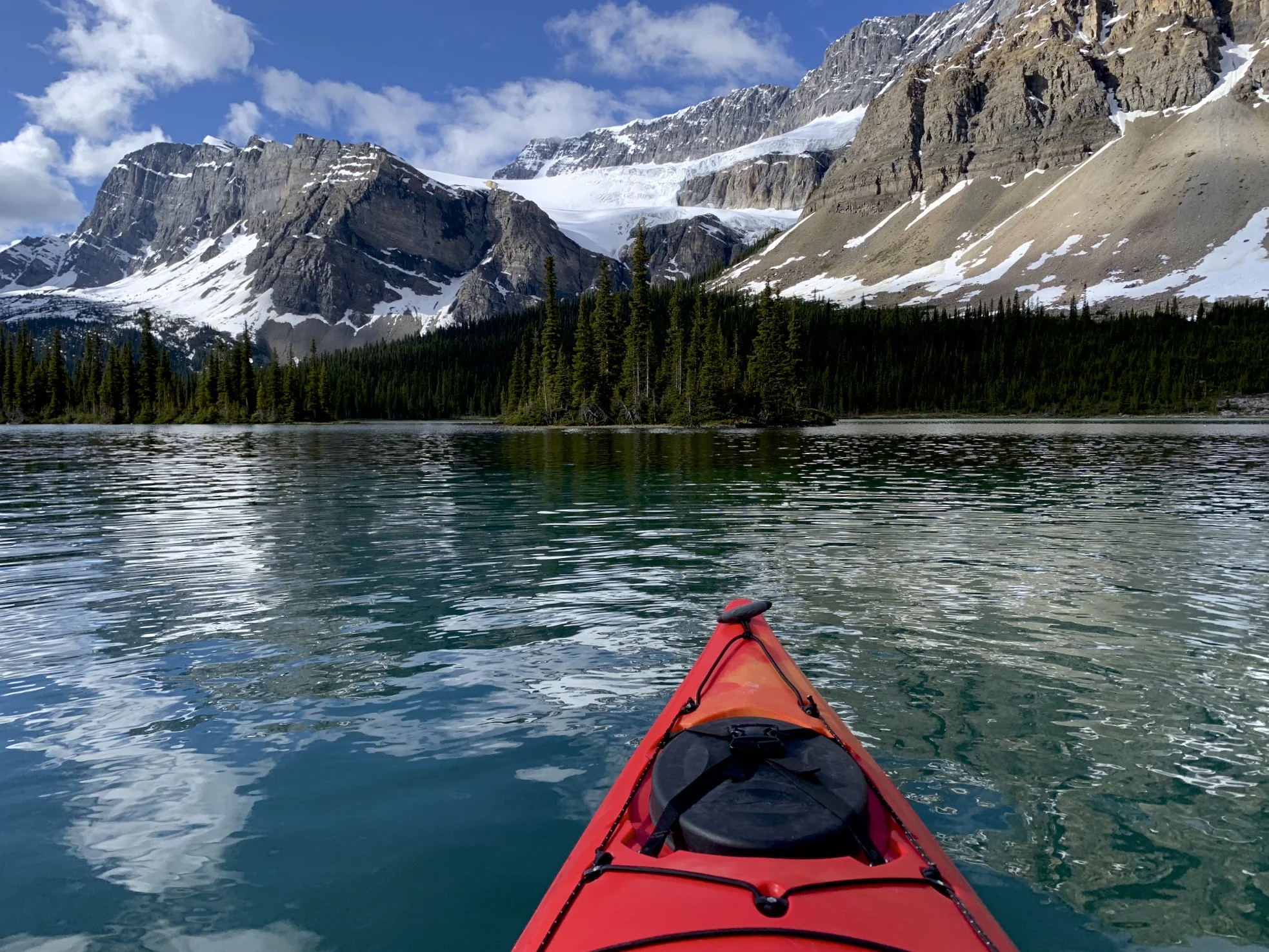
Bow Lake
Wapta Icefield and Bow Falls from the Bow Lake
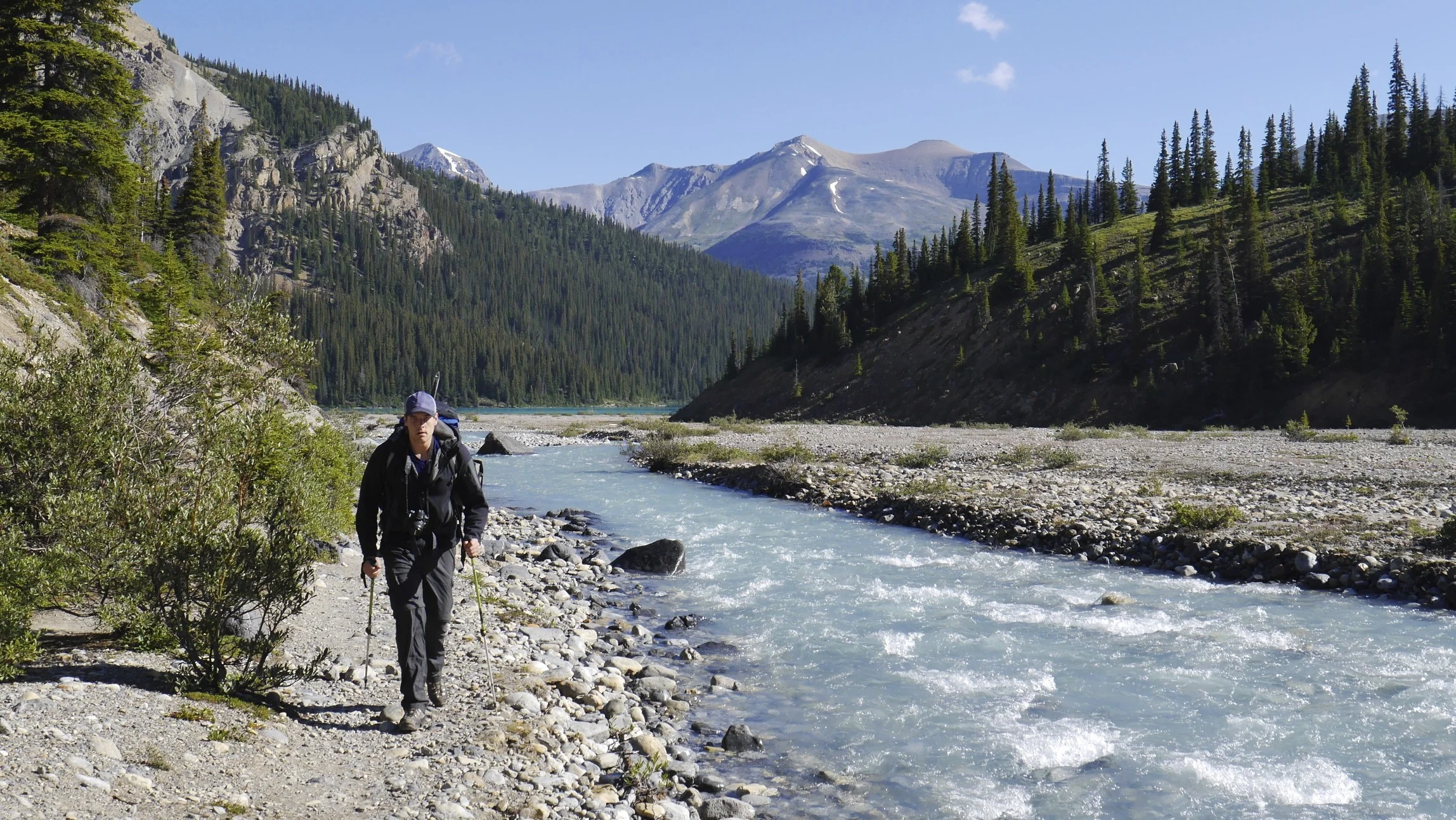
The approach to the Bow Hut
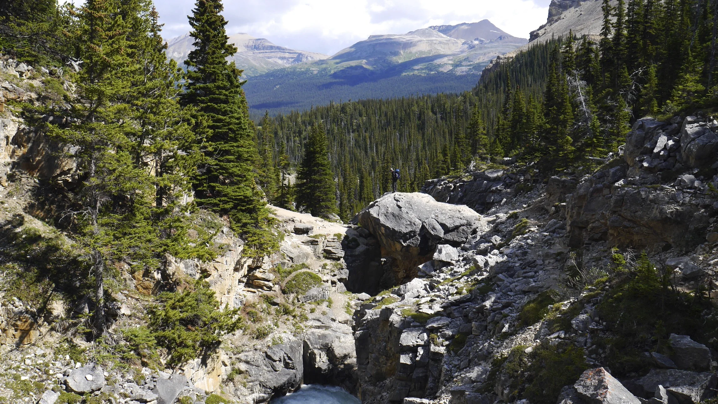
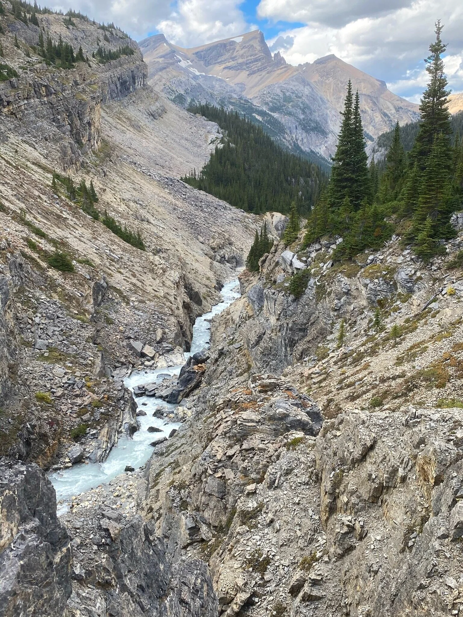
The stone bridge on the way to the Bow Hut
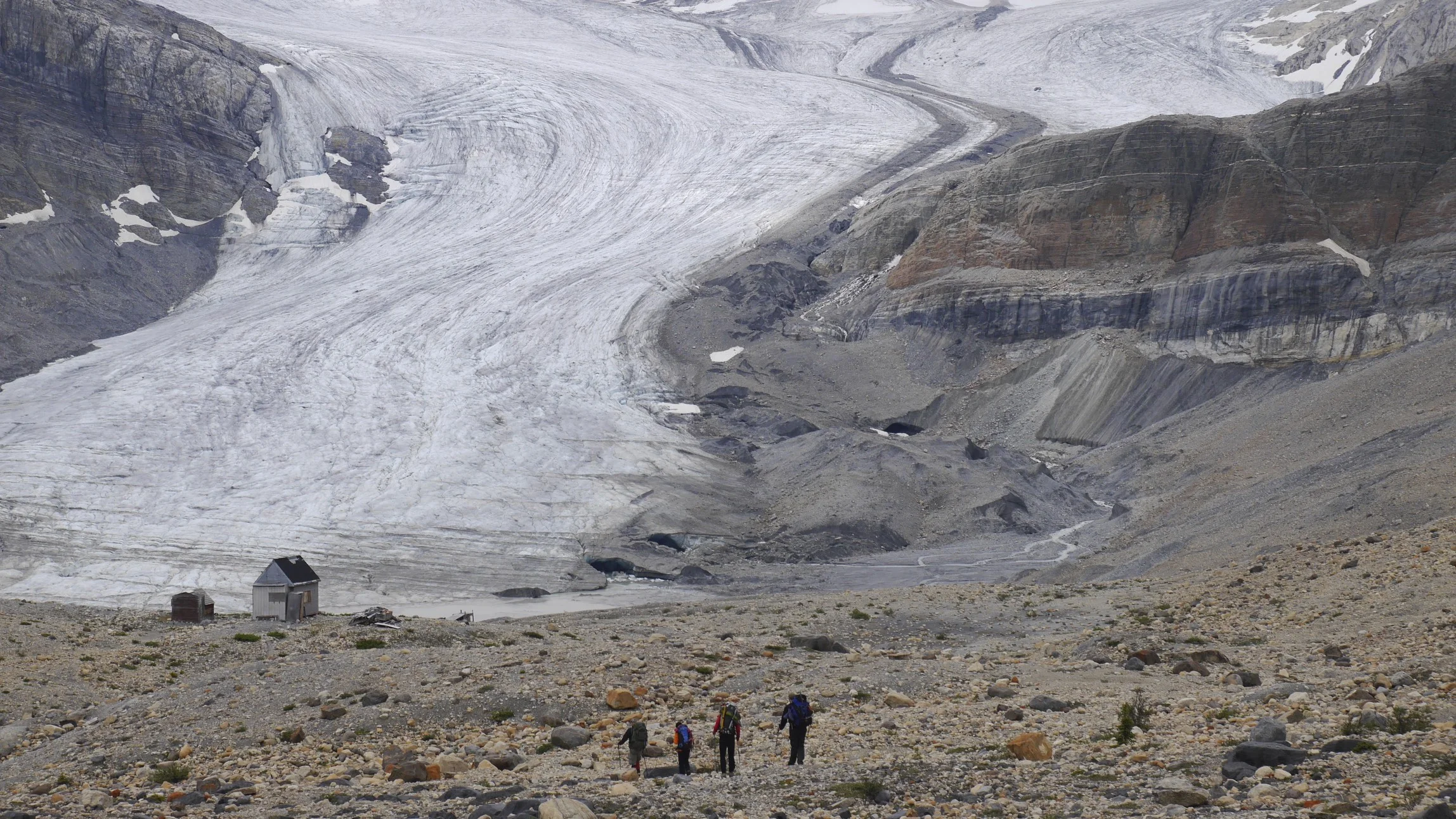
The approach to Bow Hut
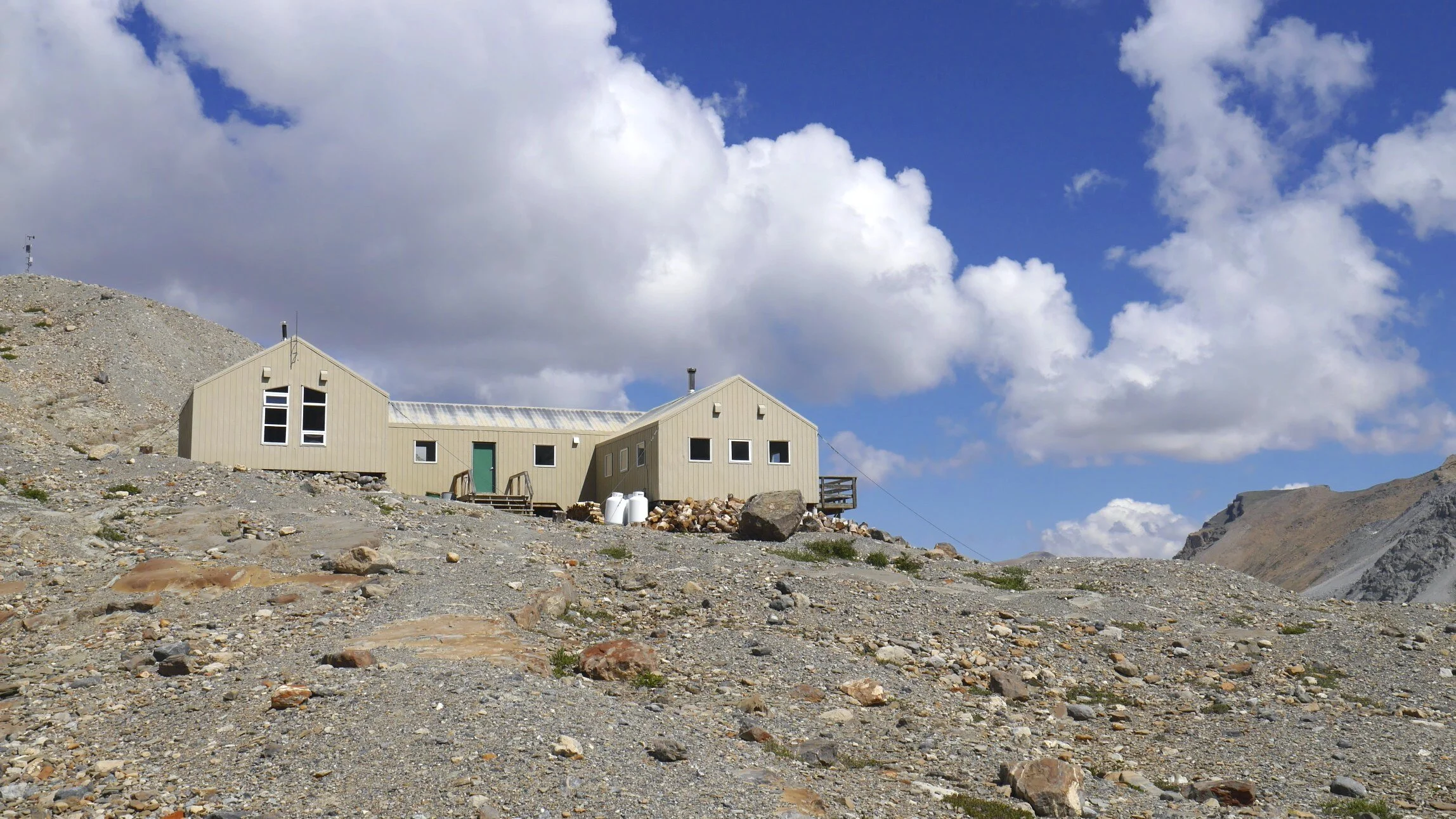
Bow Hut
The view from the Bow Hut. Mt. Jimmy Simpson is on the left
Moving on from Peyto Hut, Crowfoot Mountain is on the left
Approaching Peyto Hut
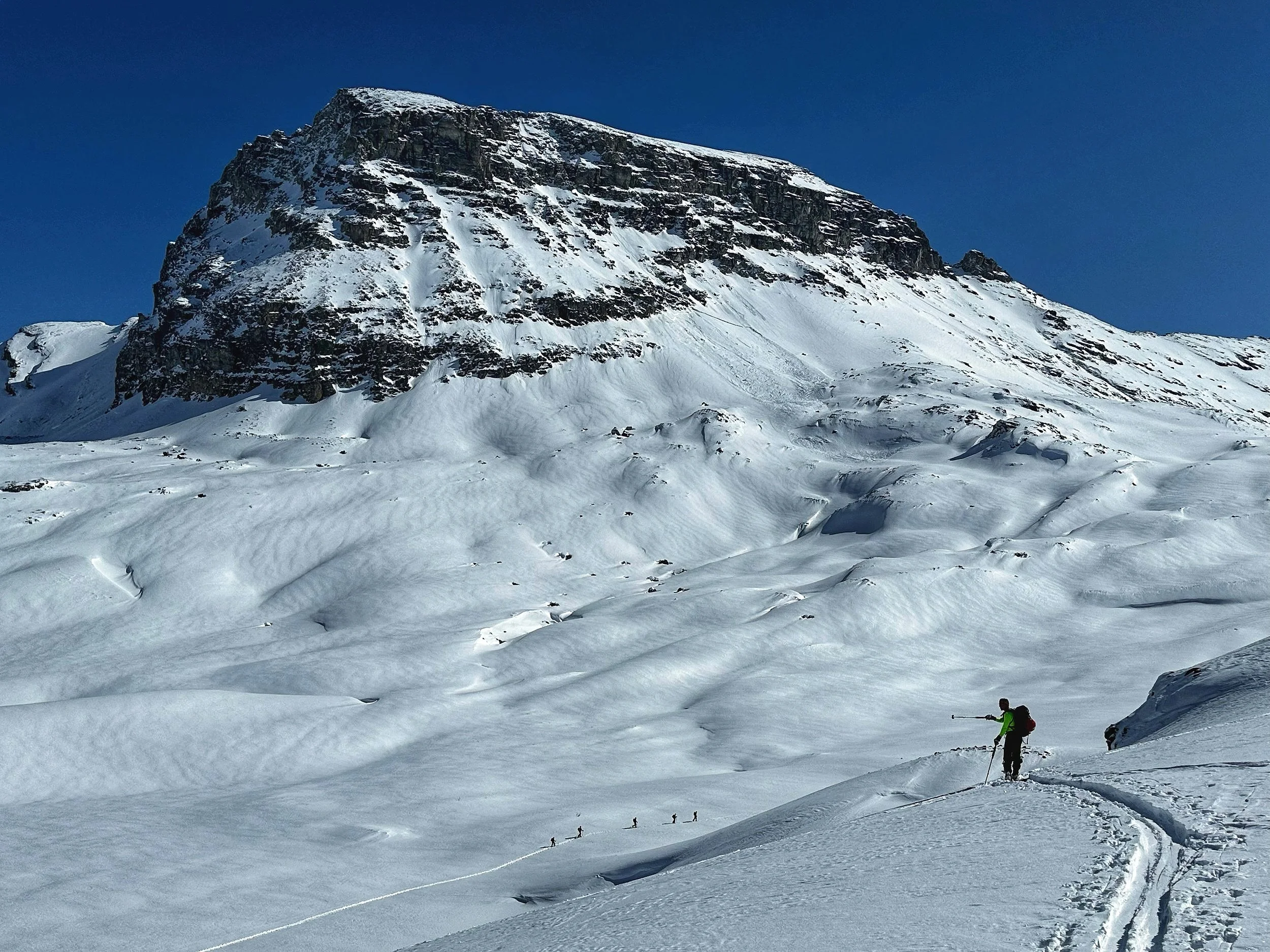
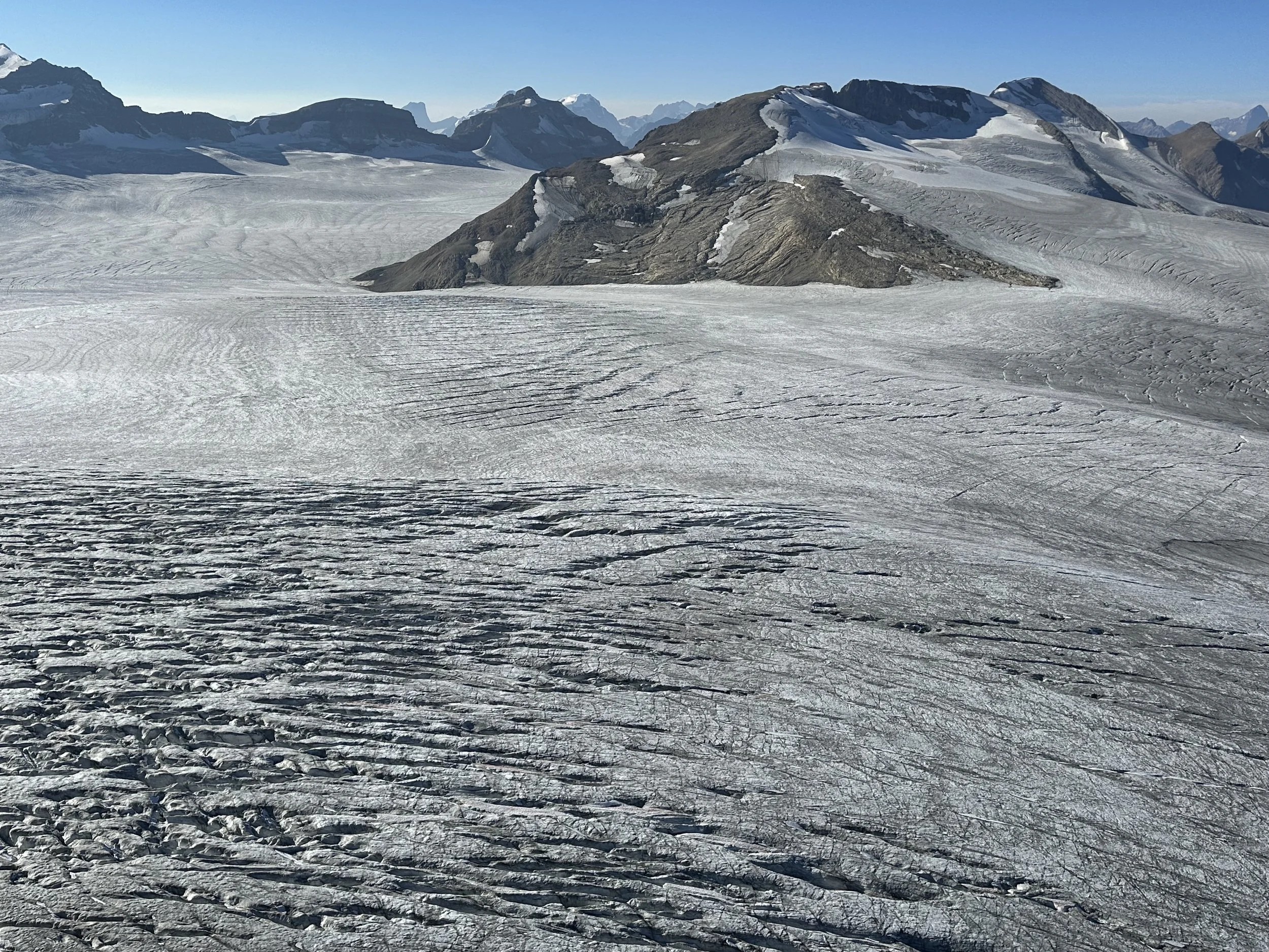
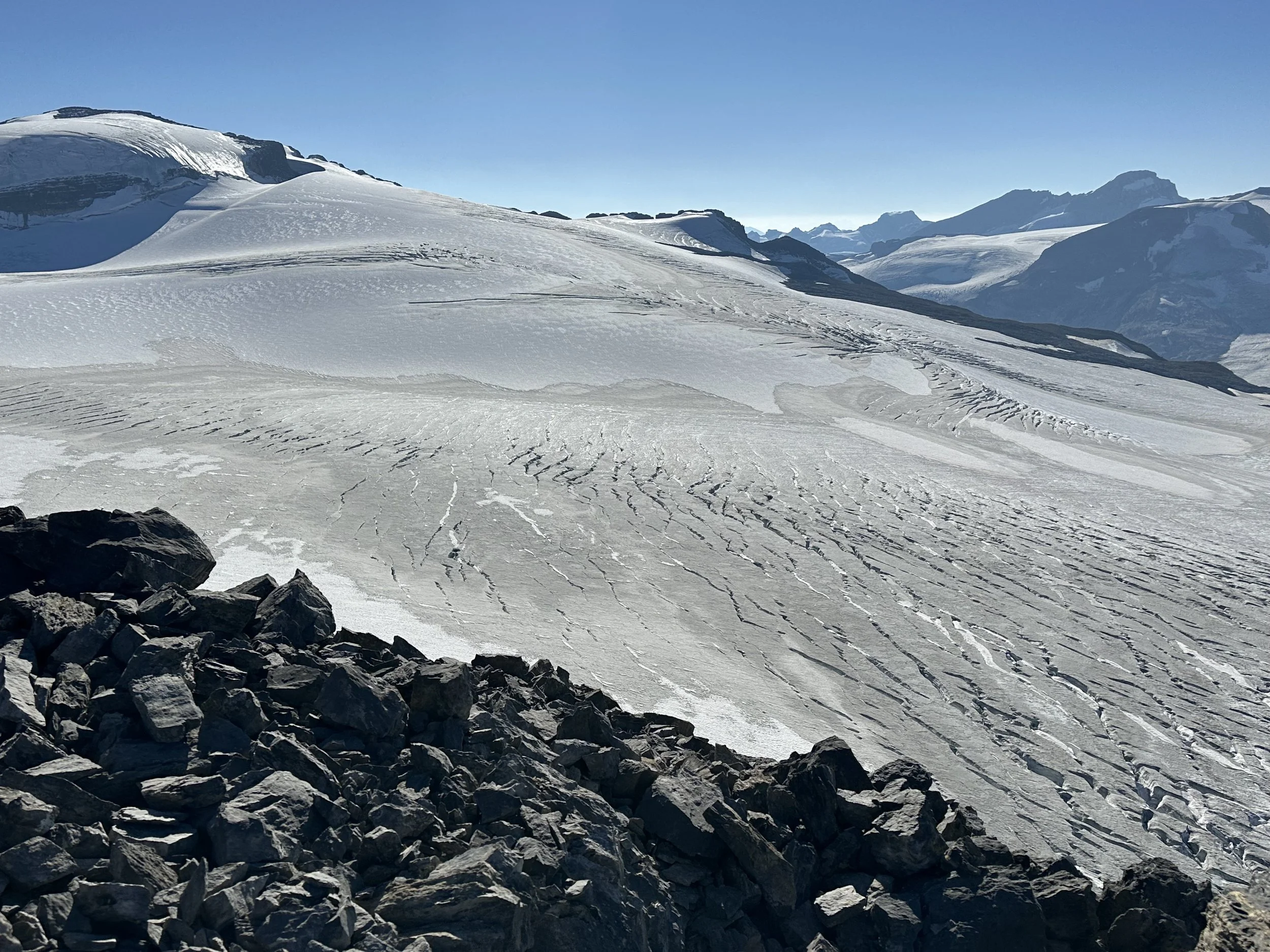
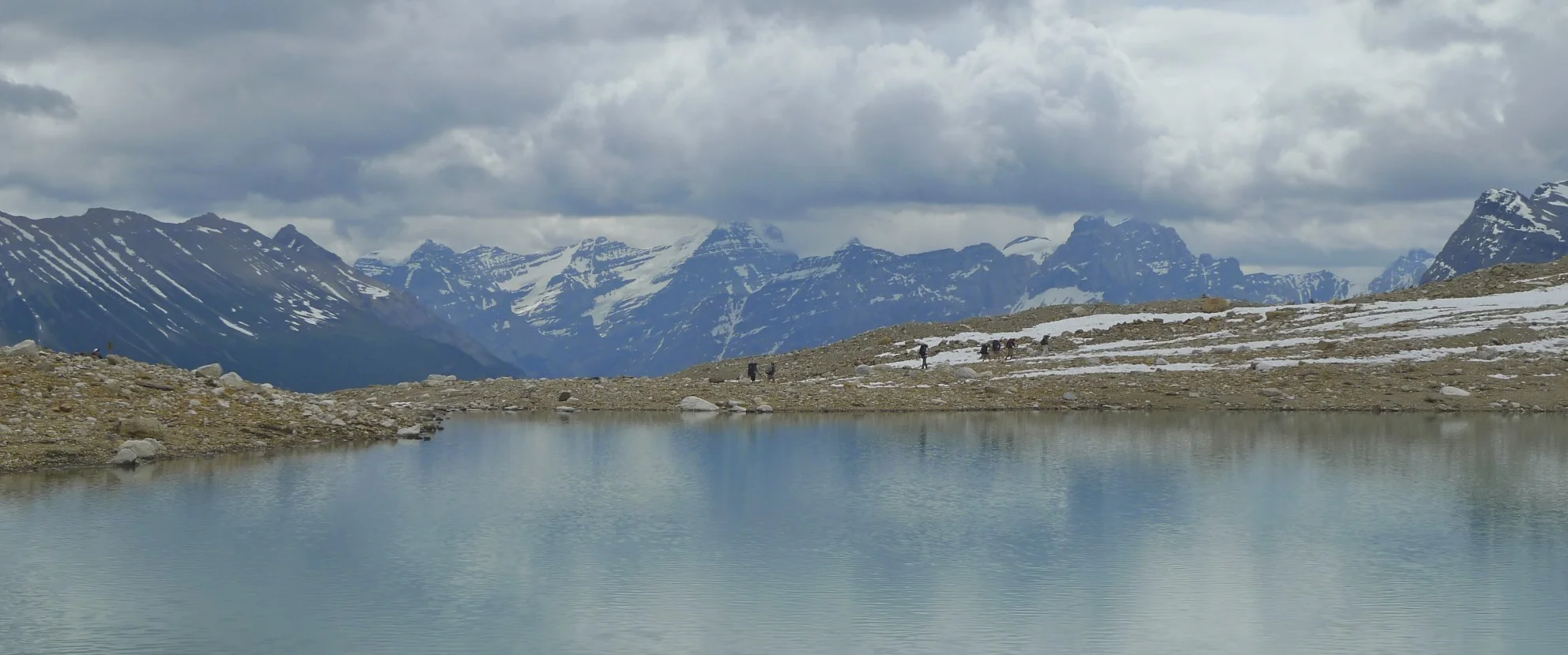
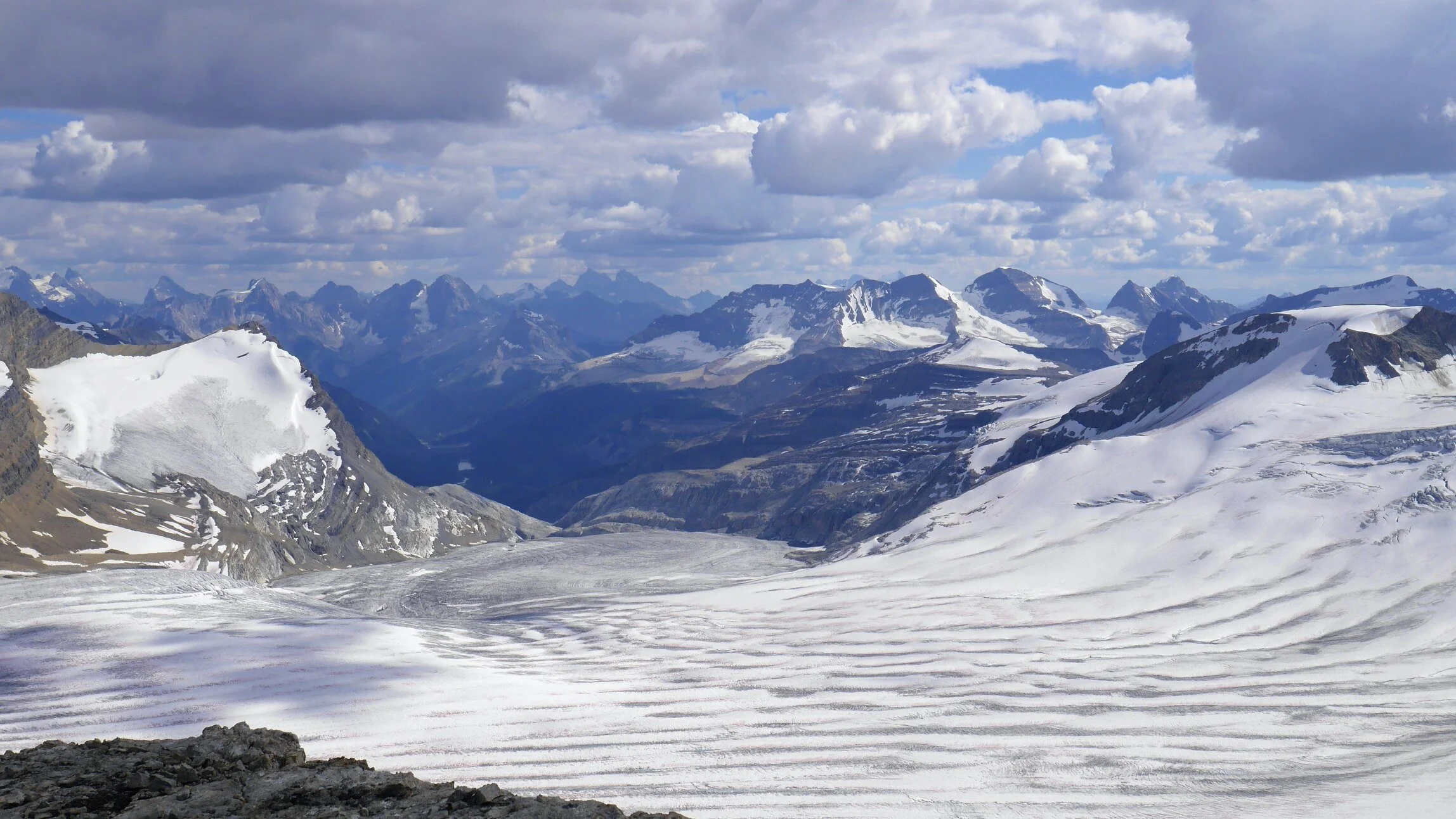
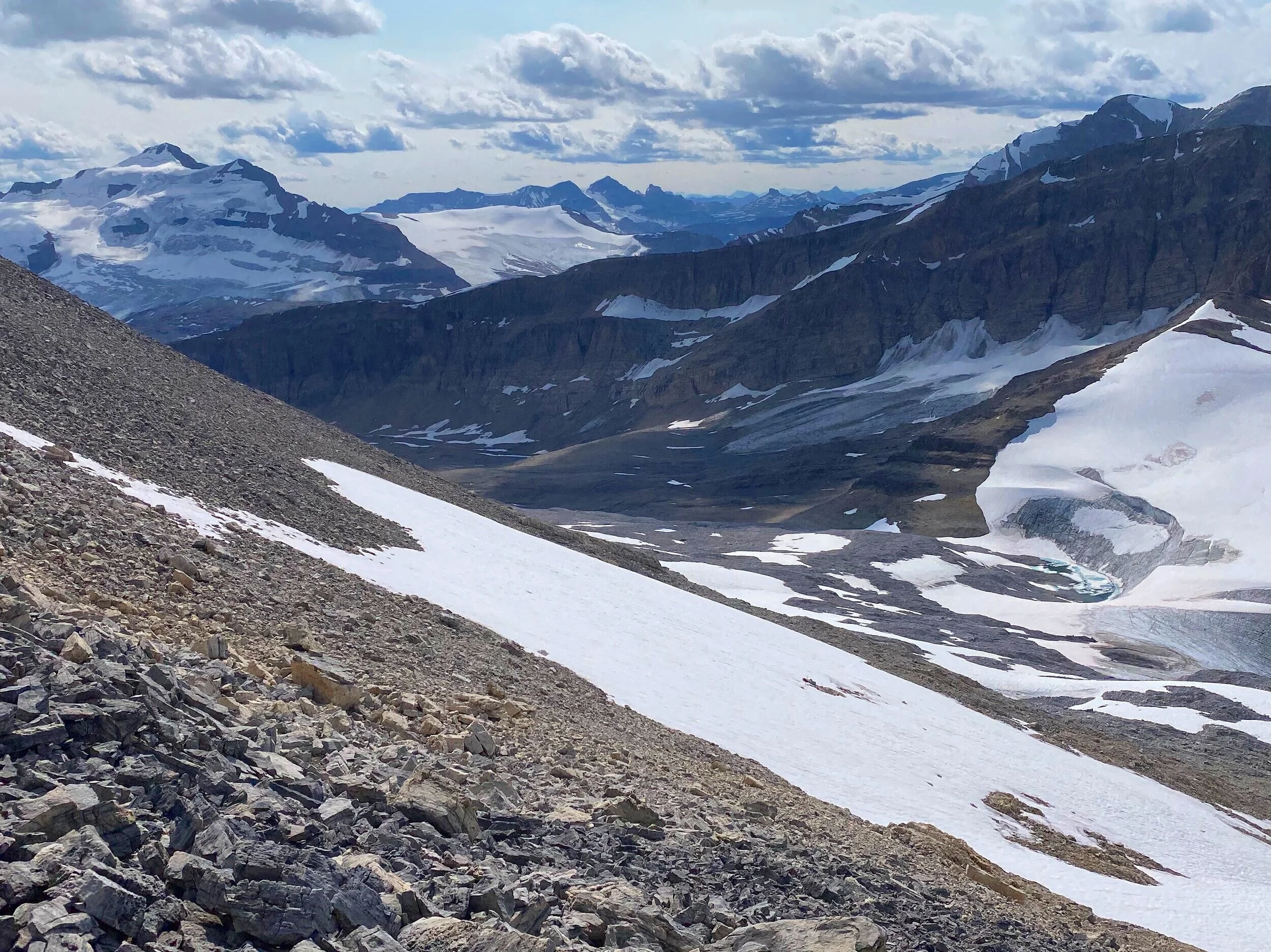
Wapta Icefield
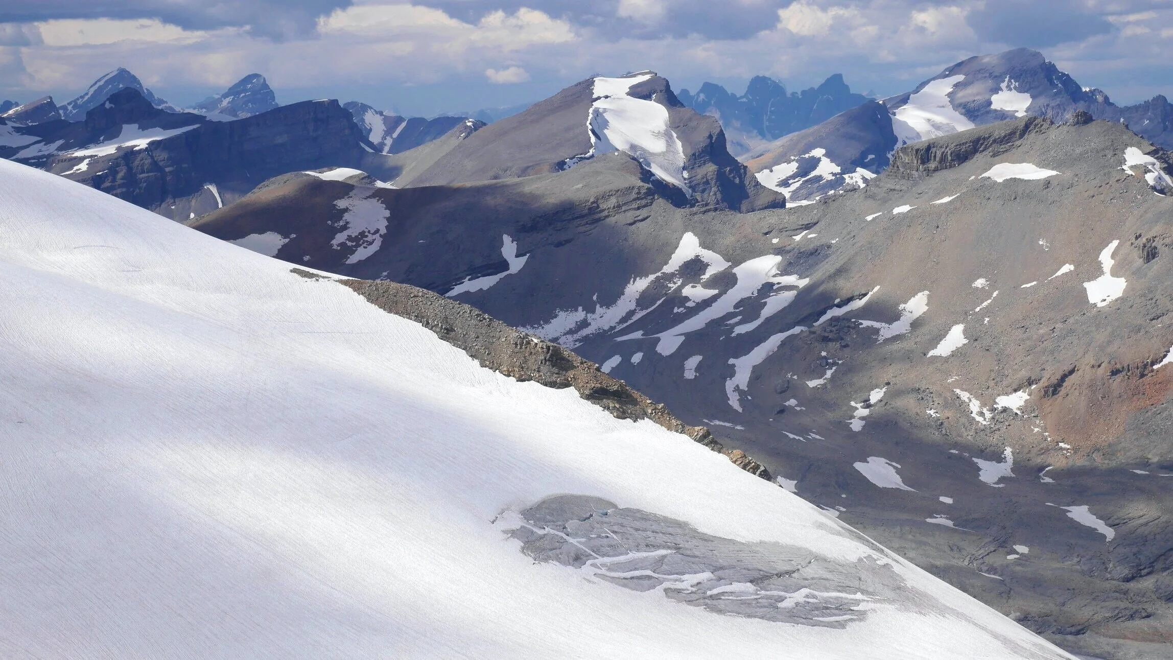
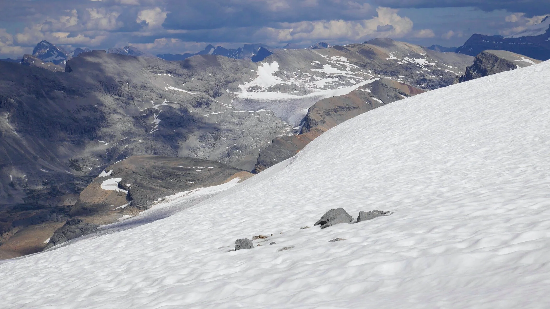
On Wapta Icefield
On Wapta Icefield
On Wapta Icefield
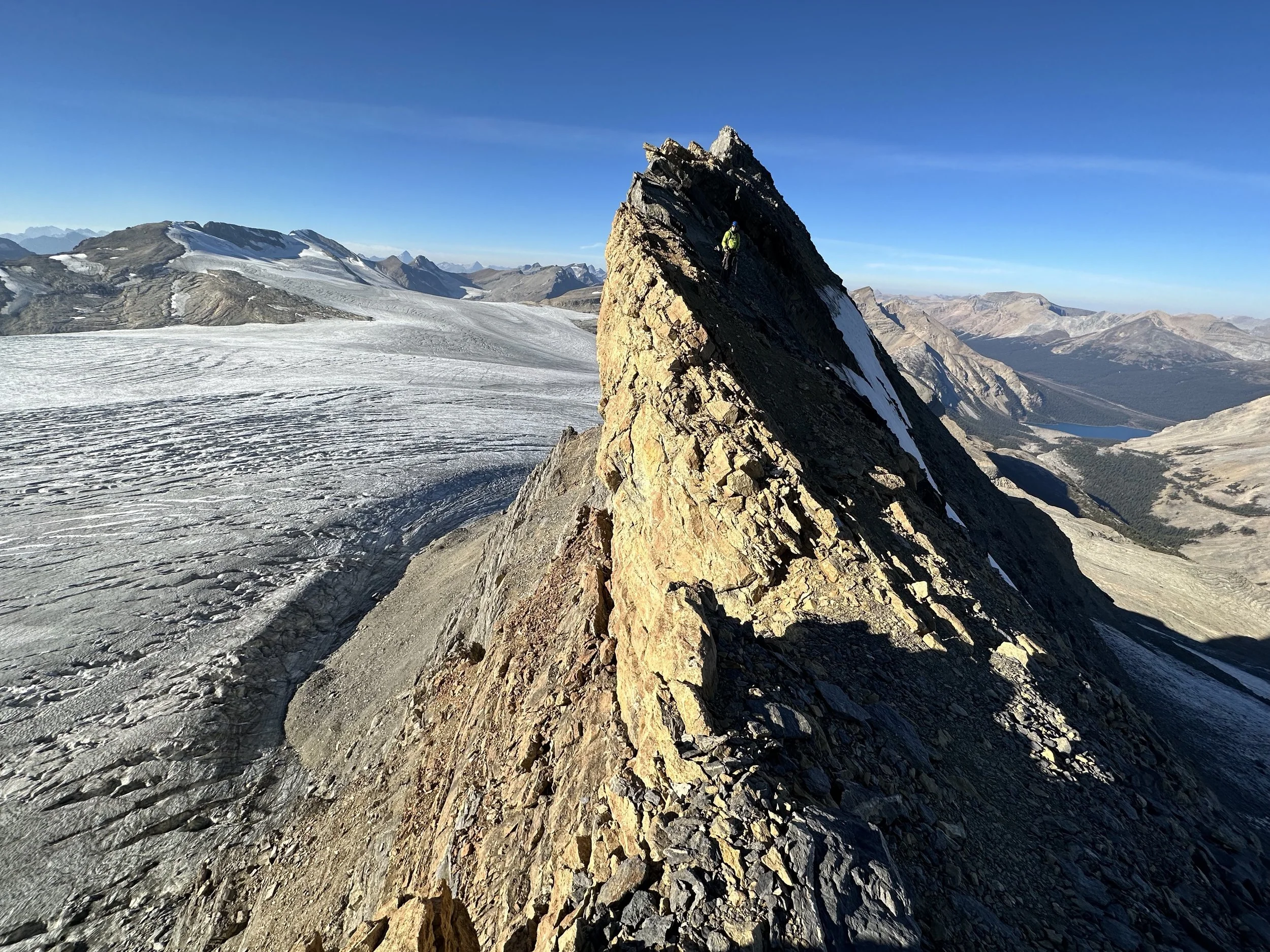
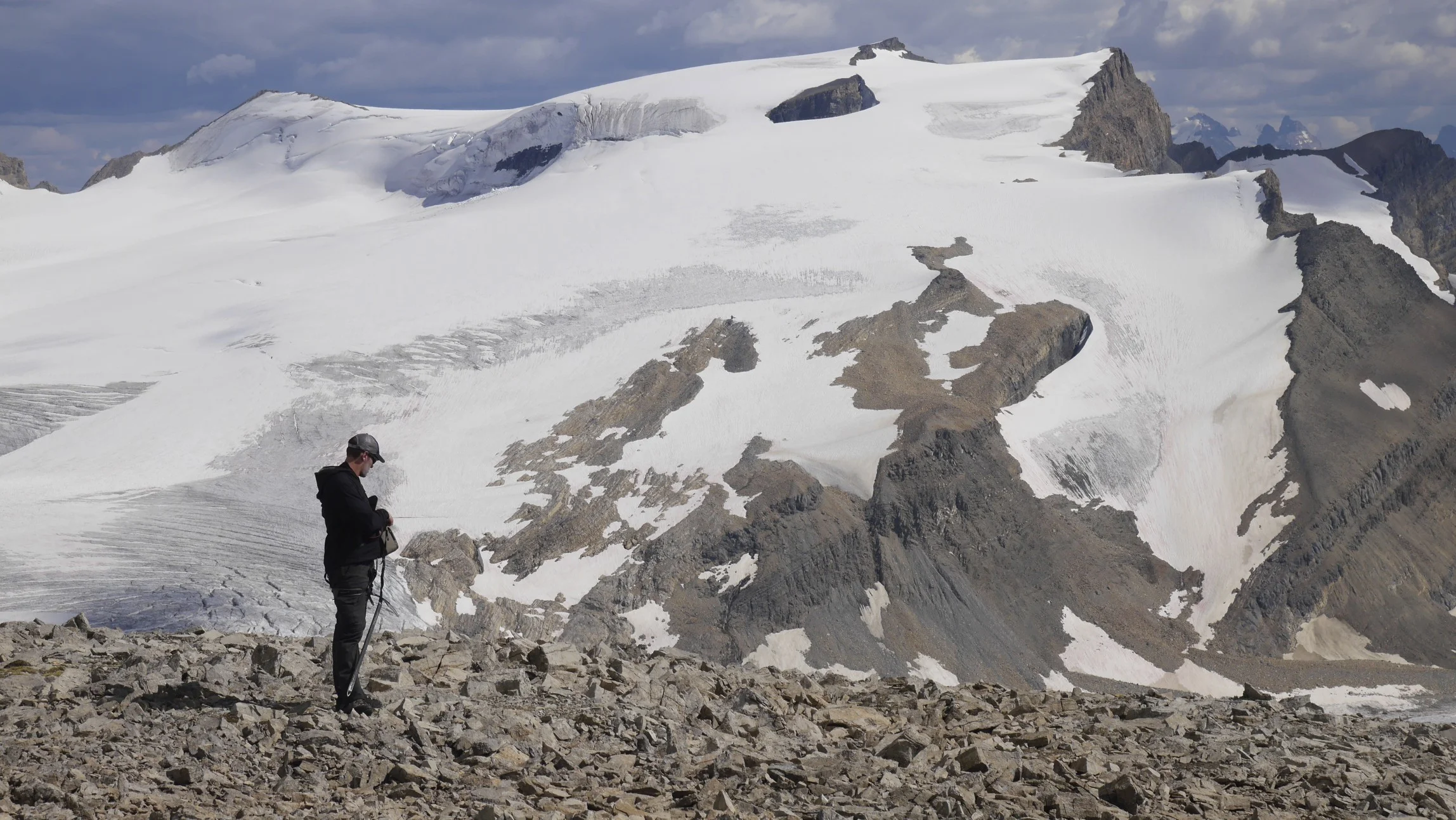
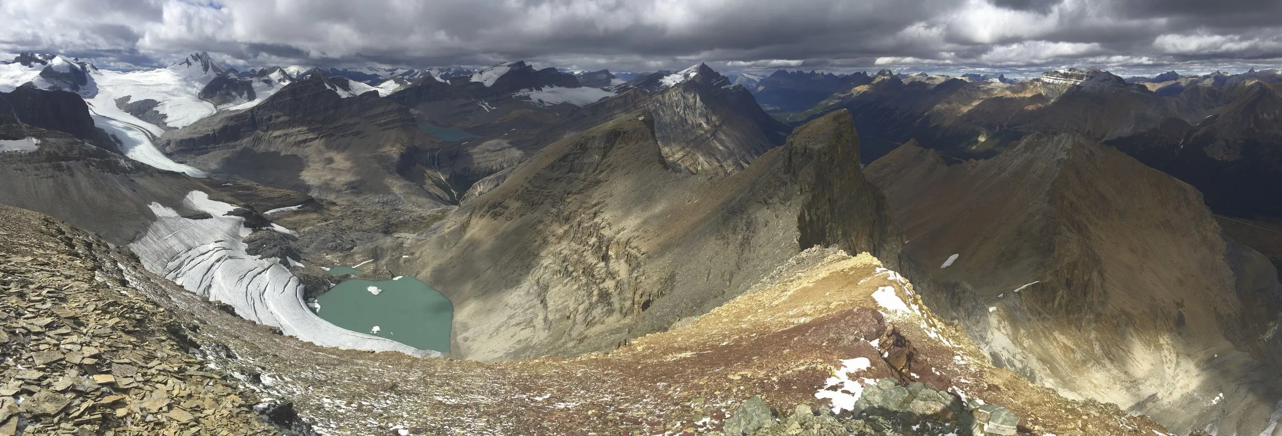
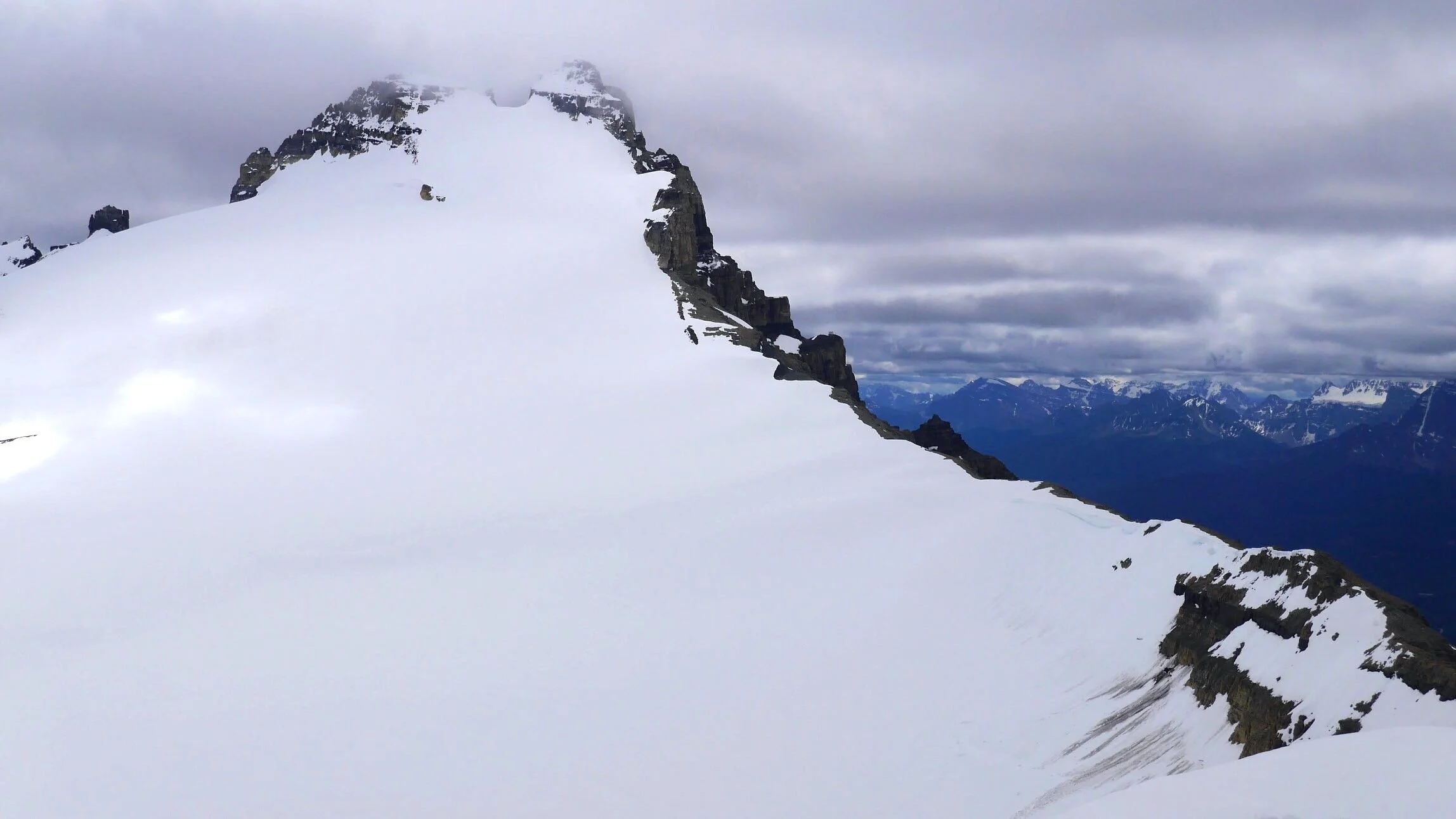
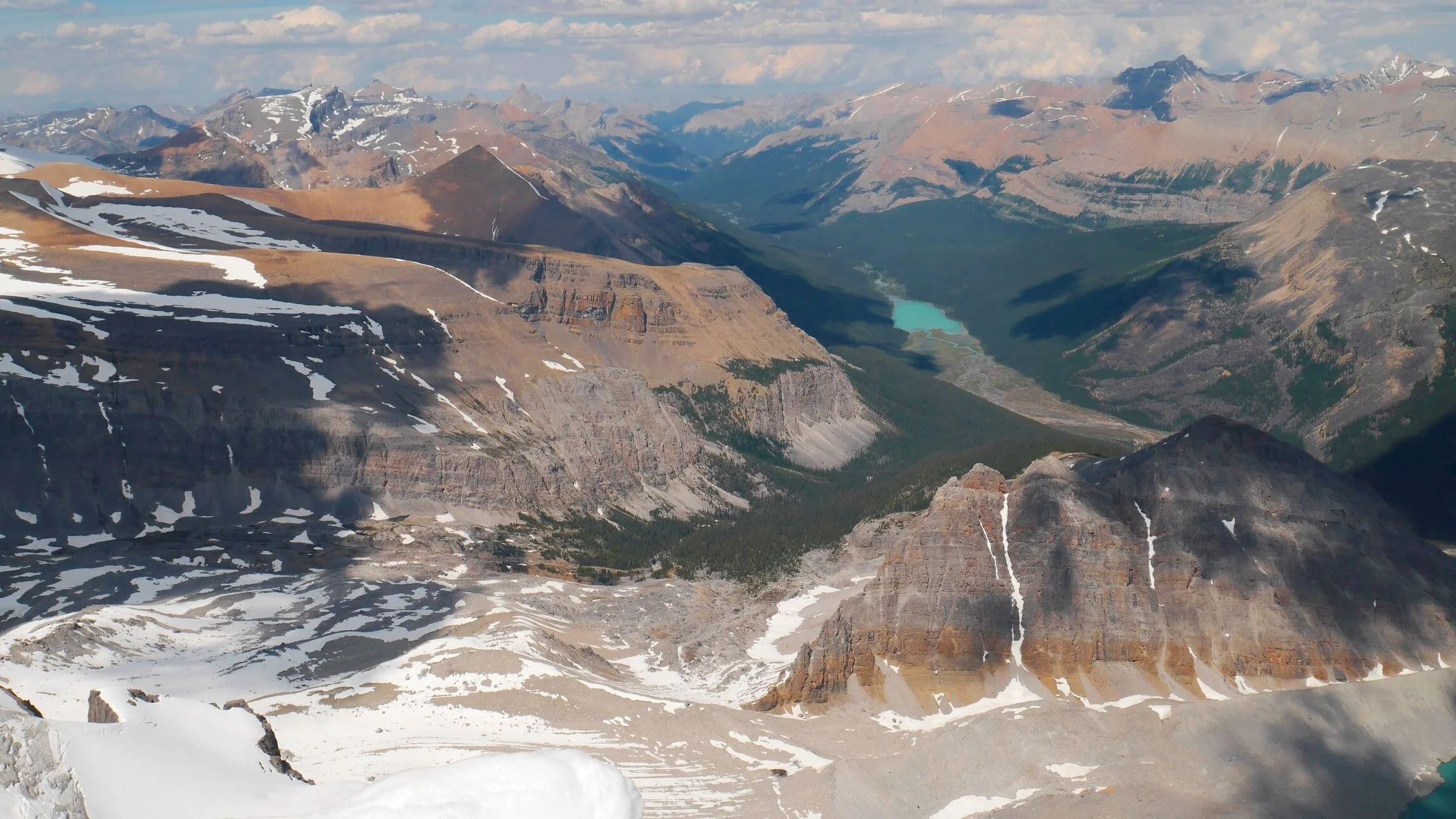
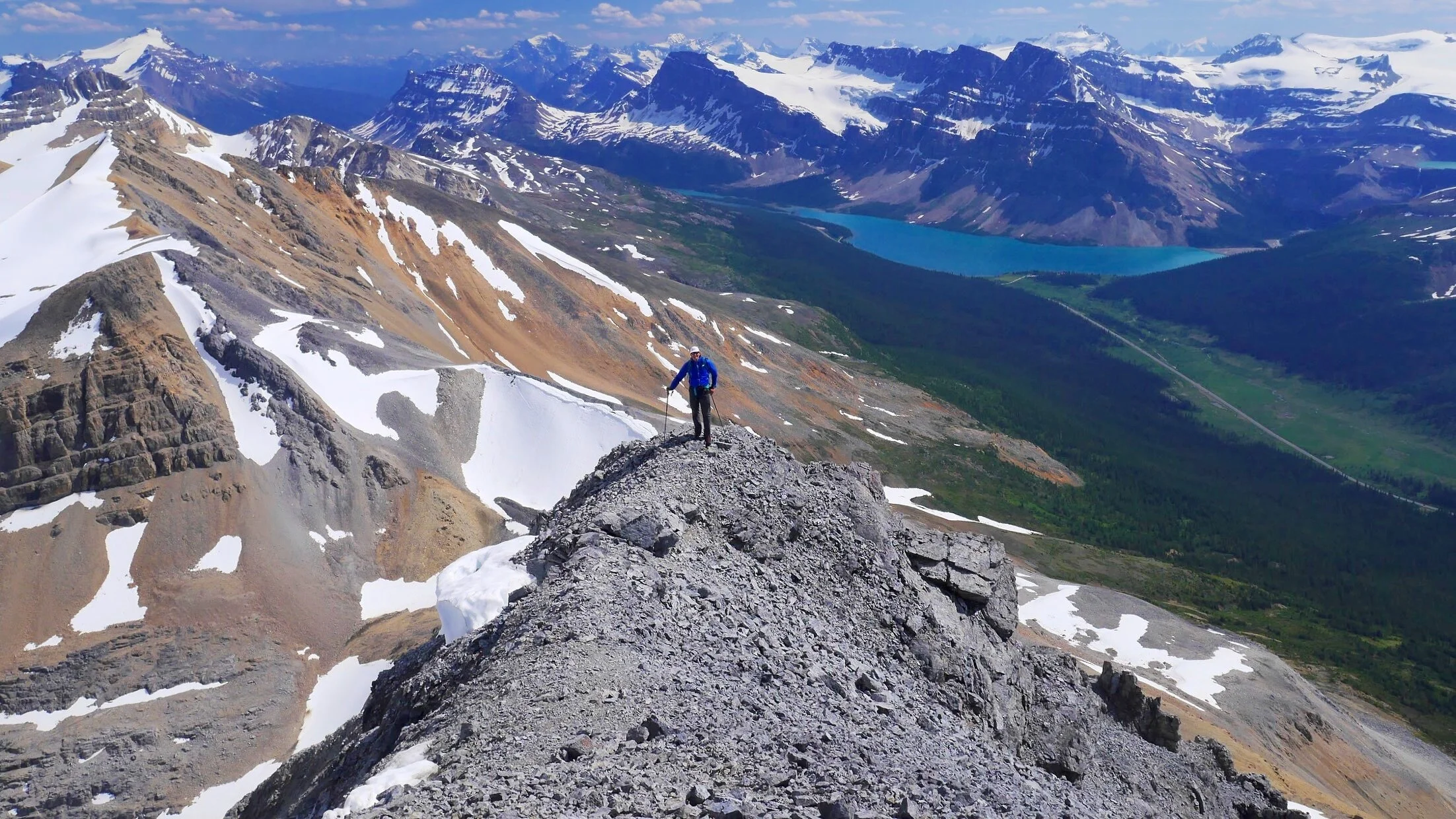
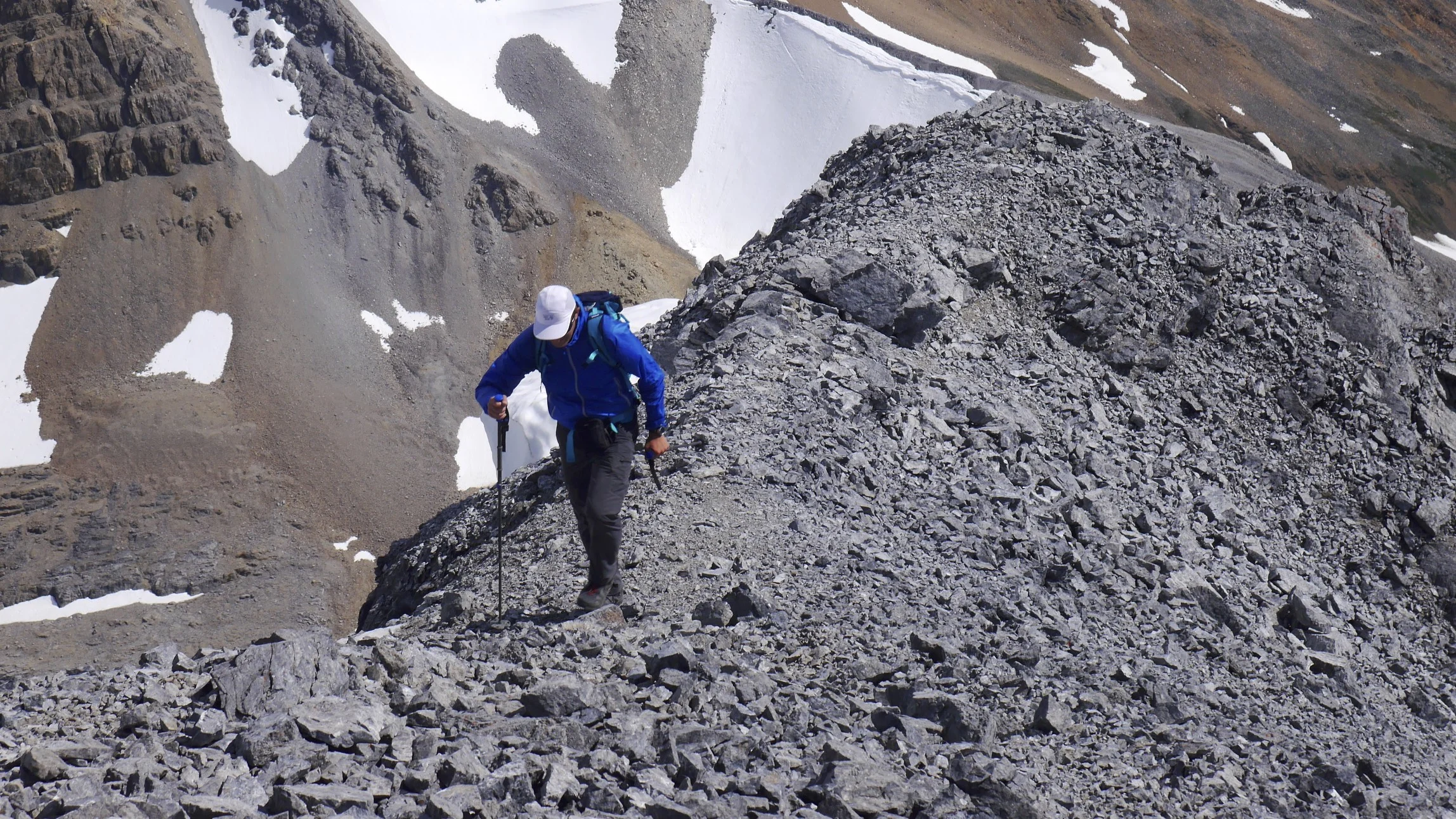
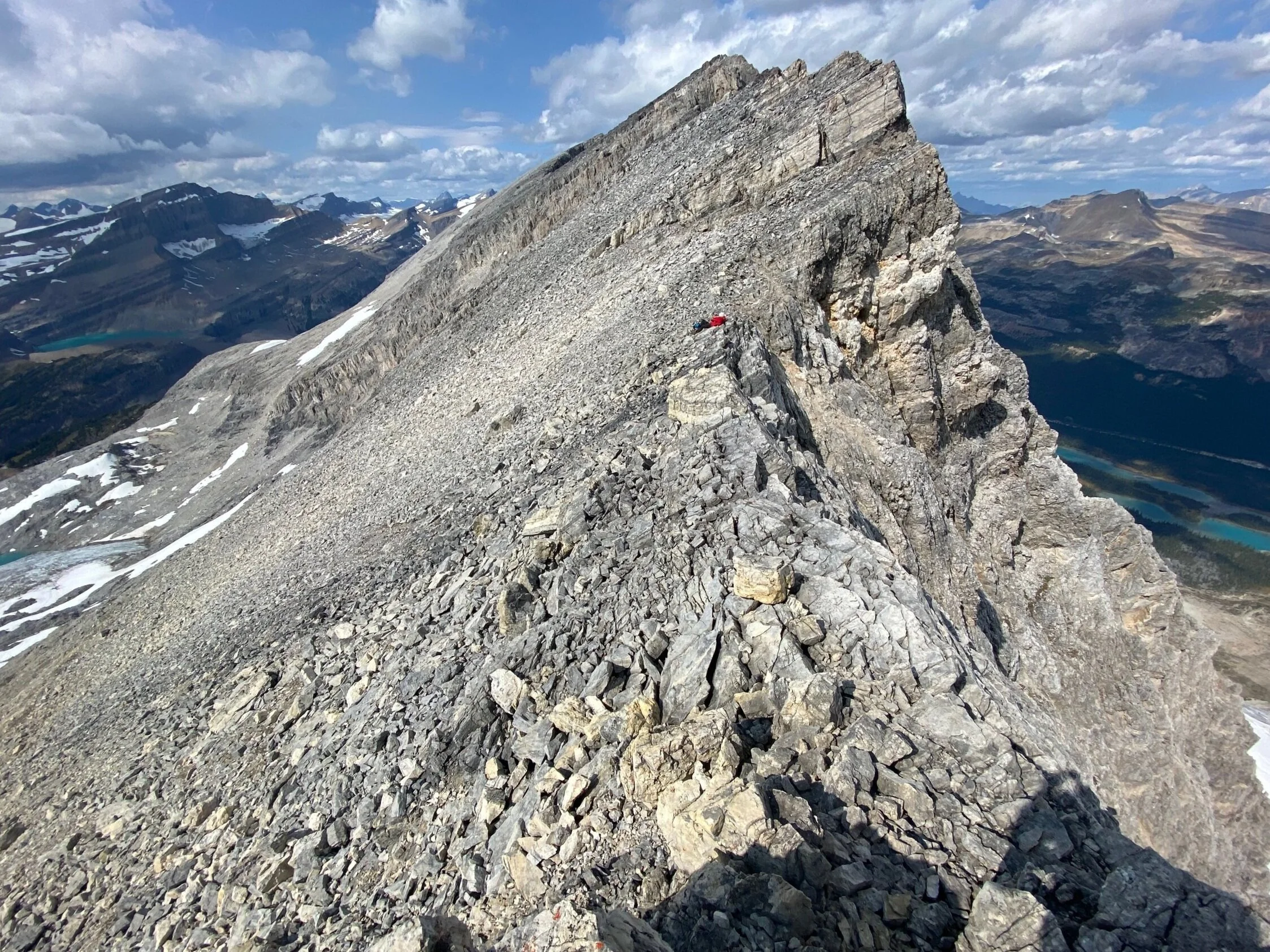
On Mt. Rhonda. Yoho glacier is visible descending to the Yoho Valley. The iceline trail is on the right int he distance.
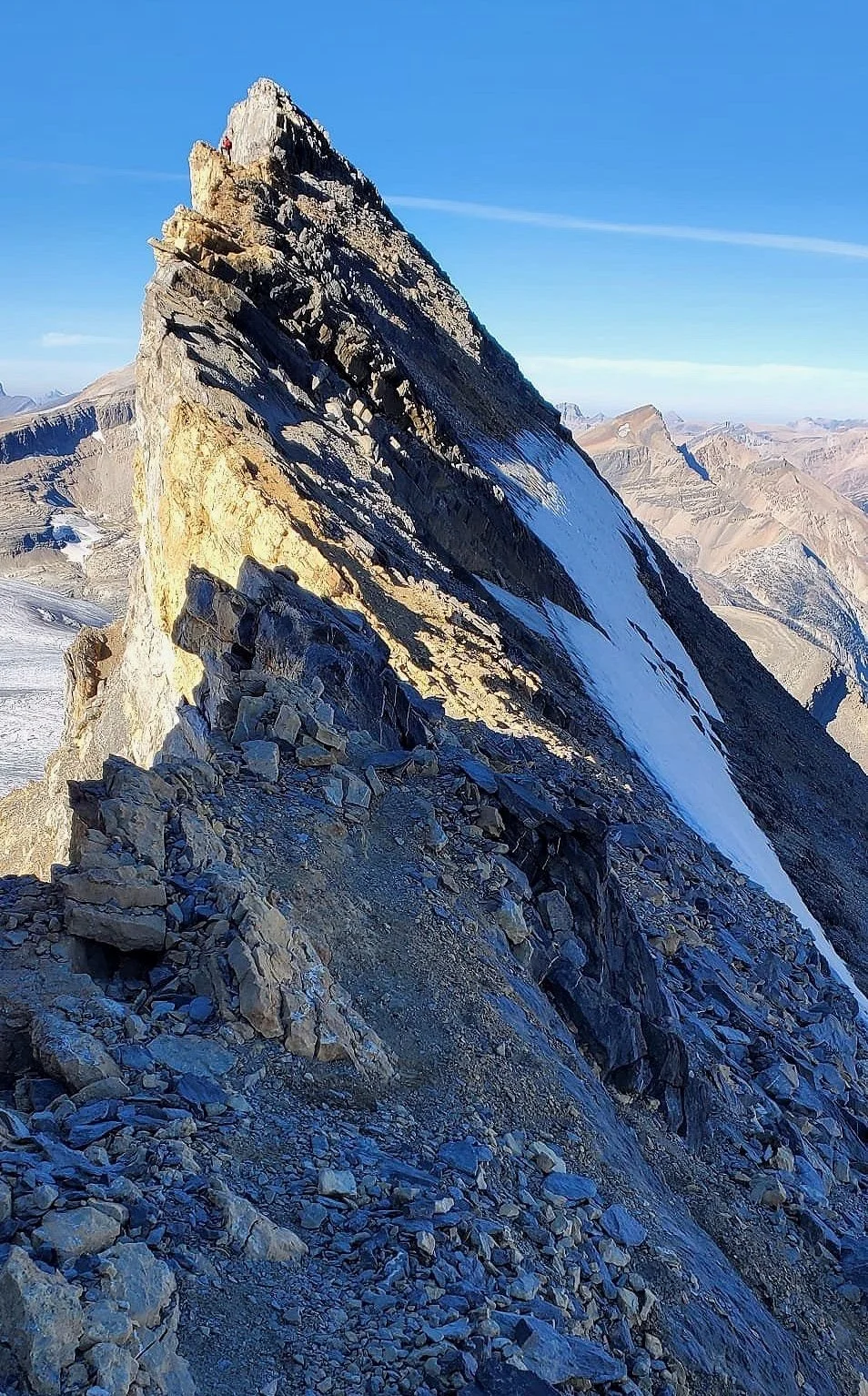
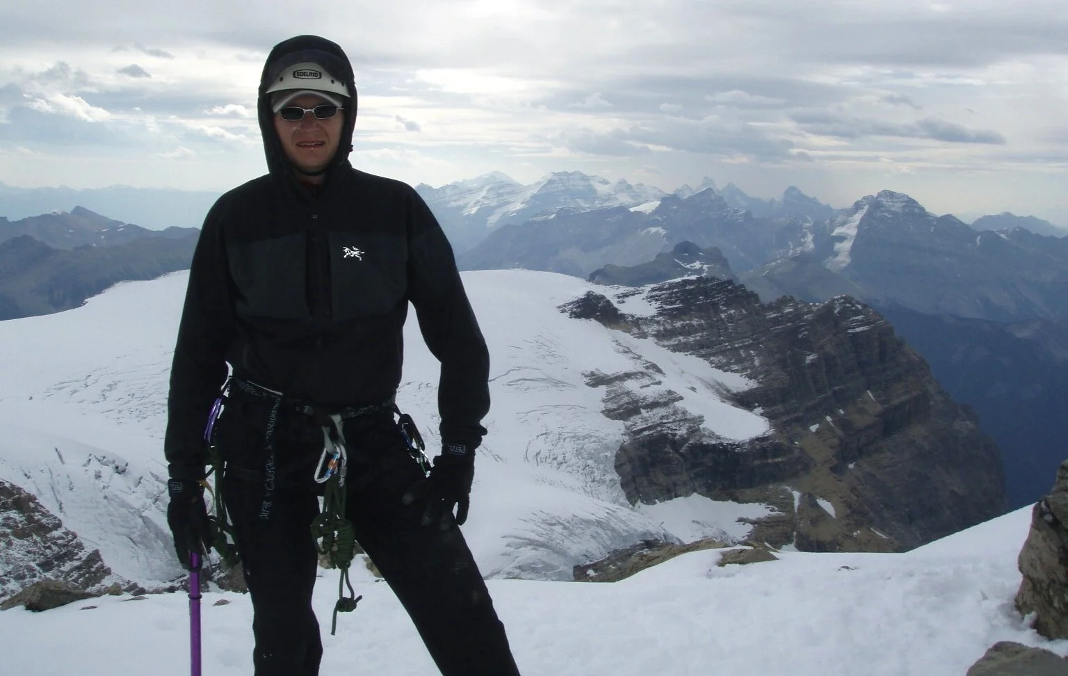
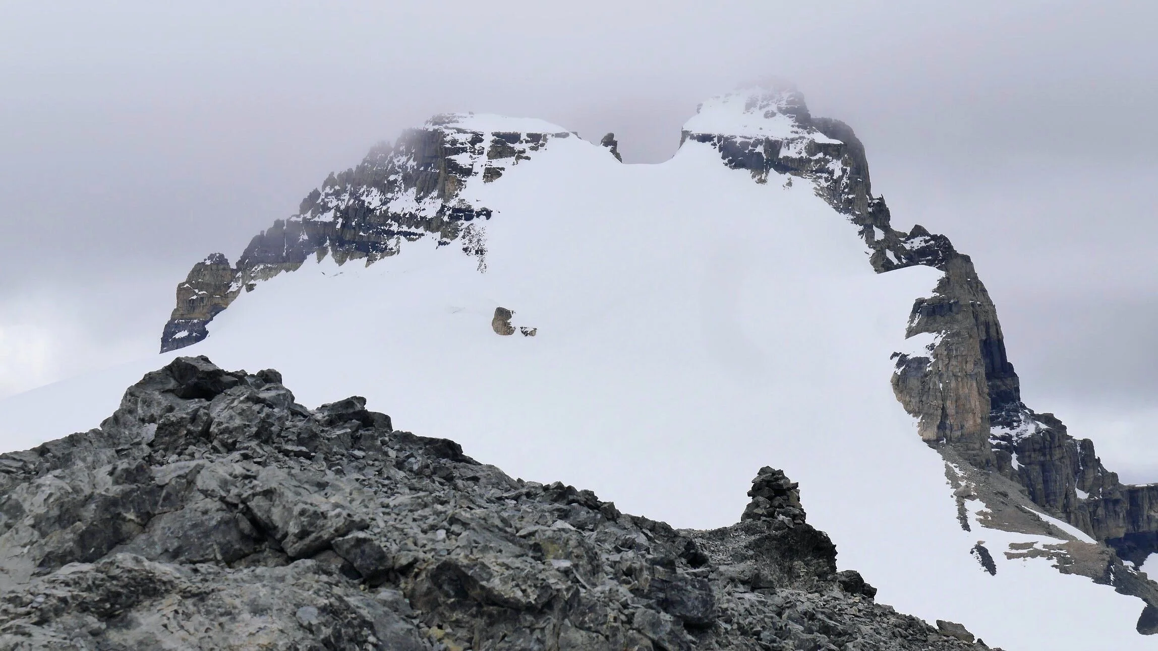
Summit of Mt. Rhonda
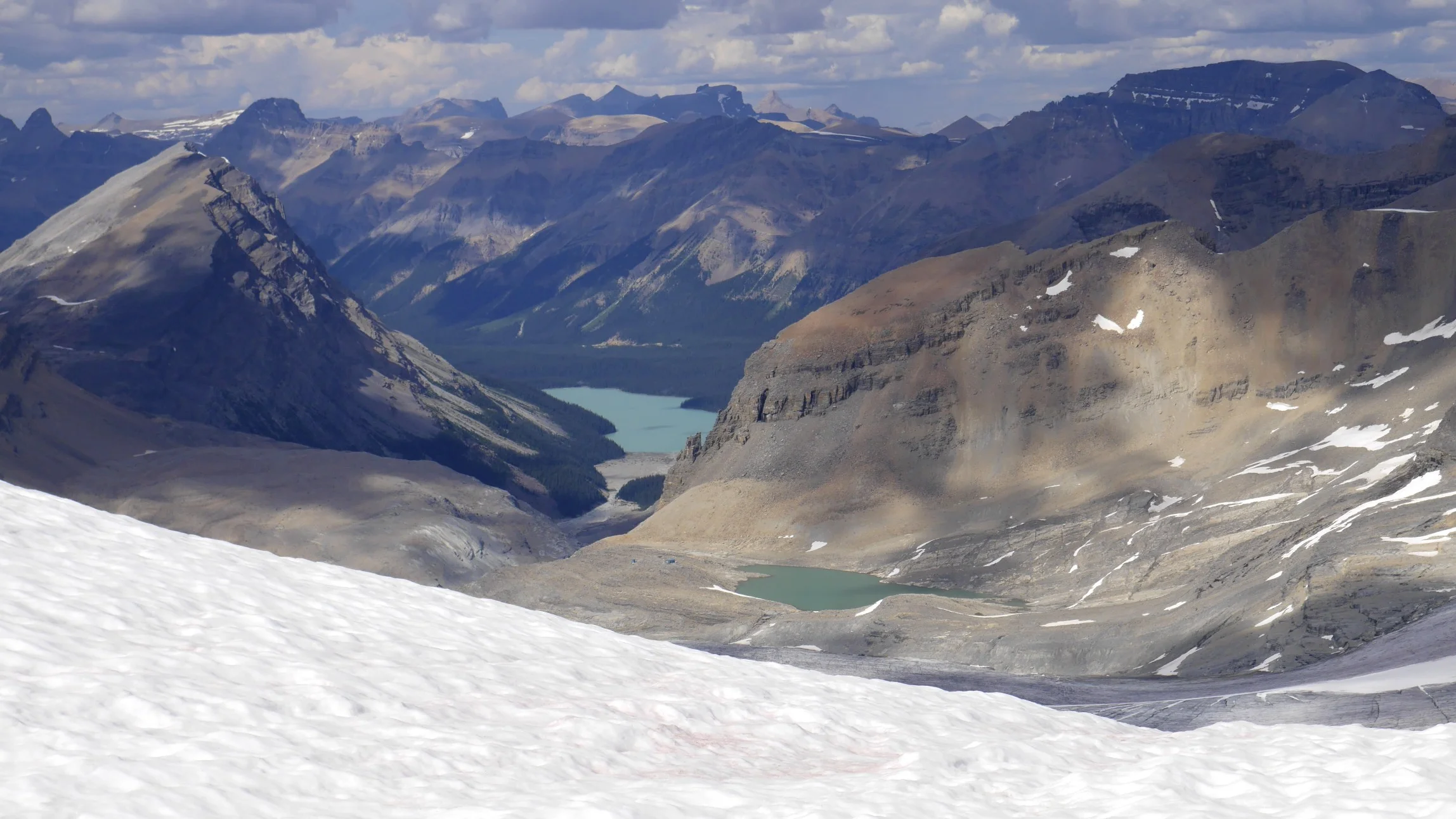
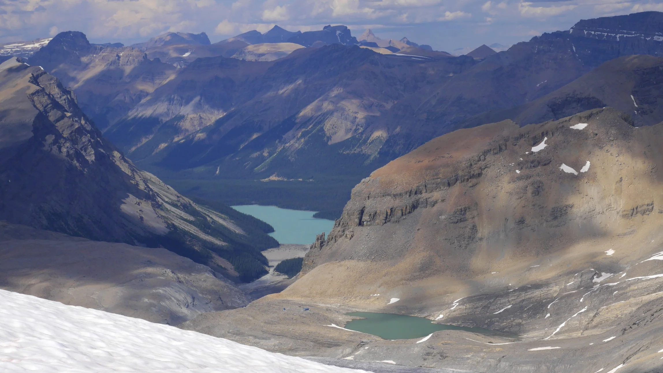
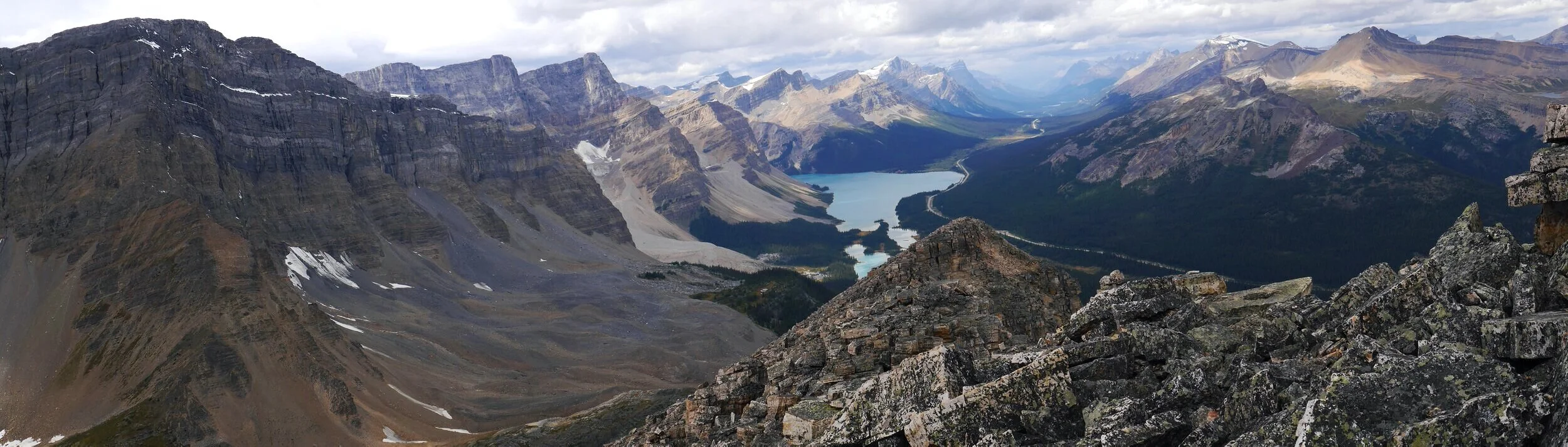
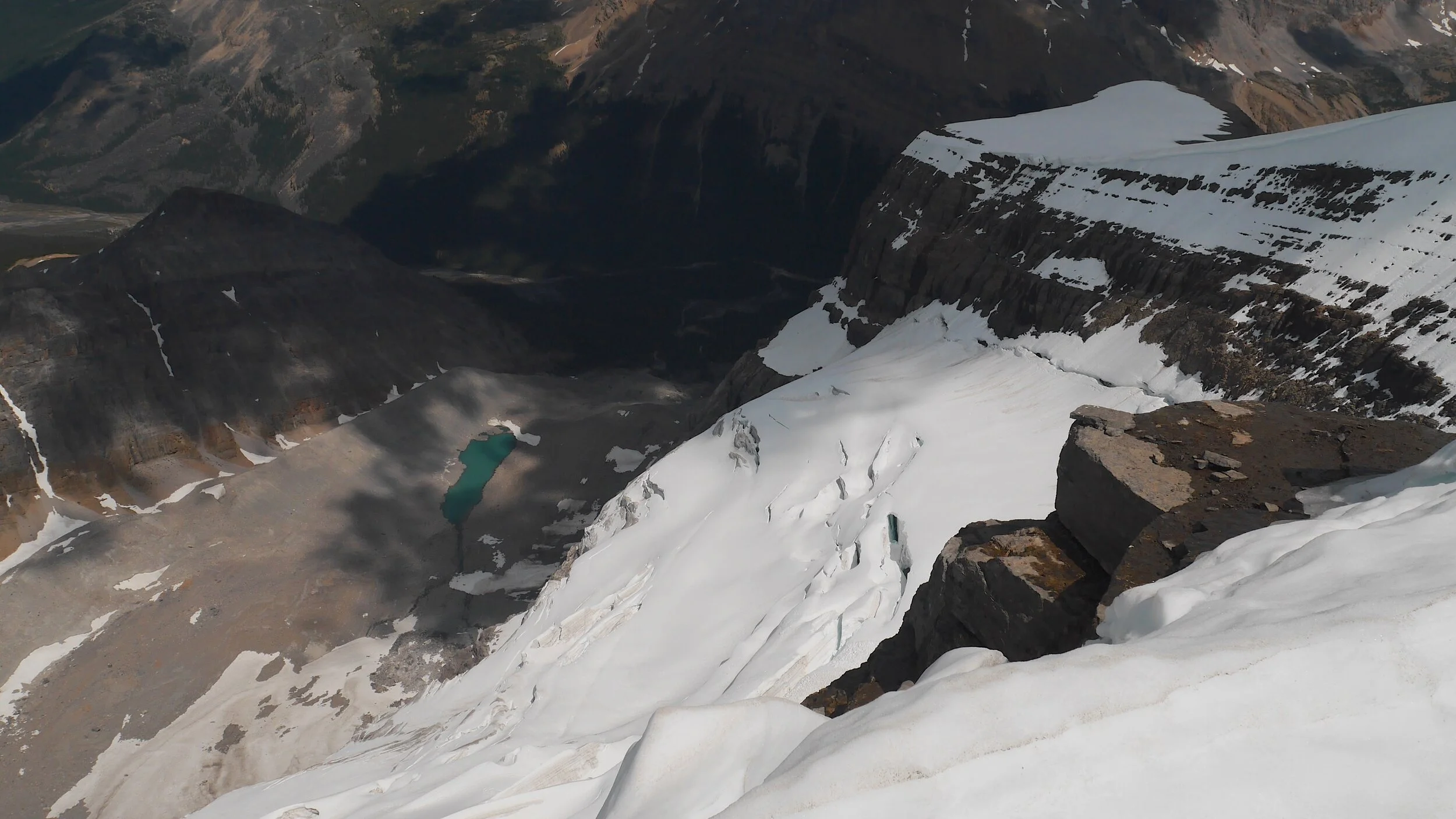
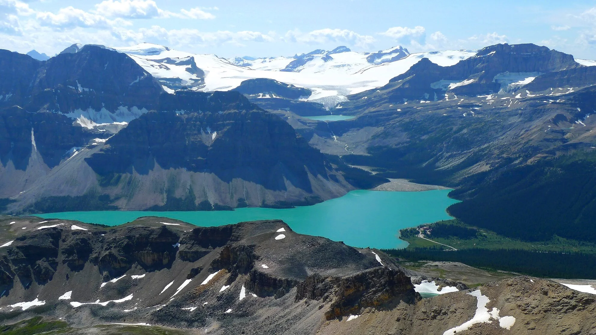
Peyto Lake and the Peyto Hut from the summit of Mt. Rhonda 3,062m
Peyto Lake and Peyto Hut (small green dot) from Mt. Rhonda
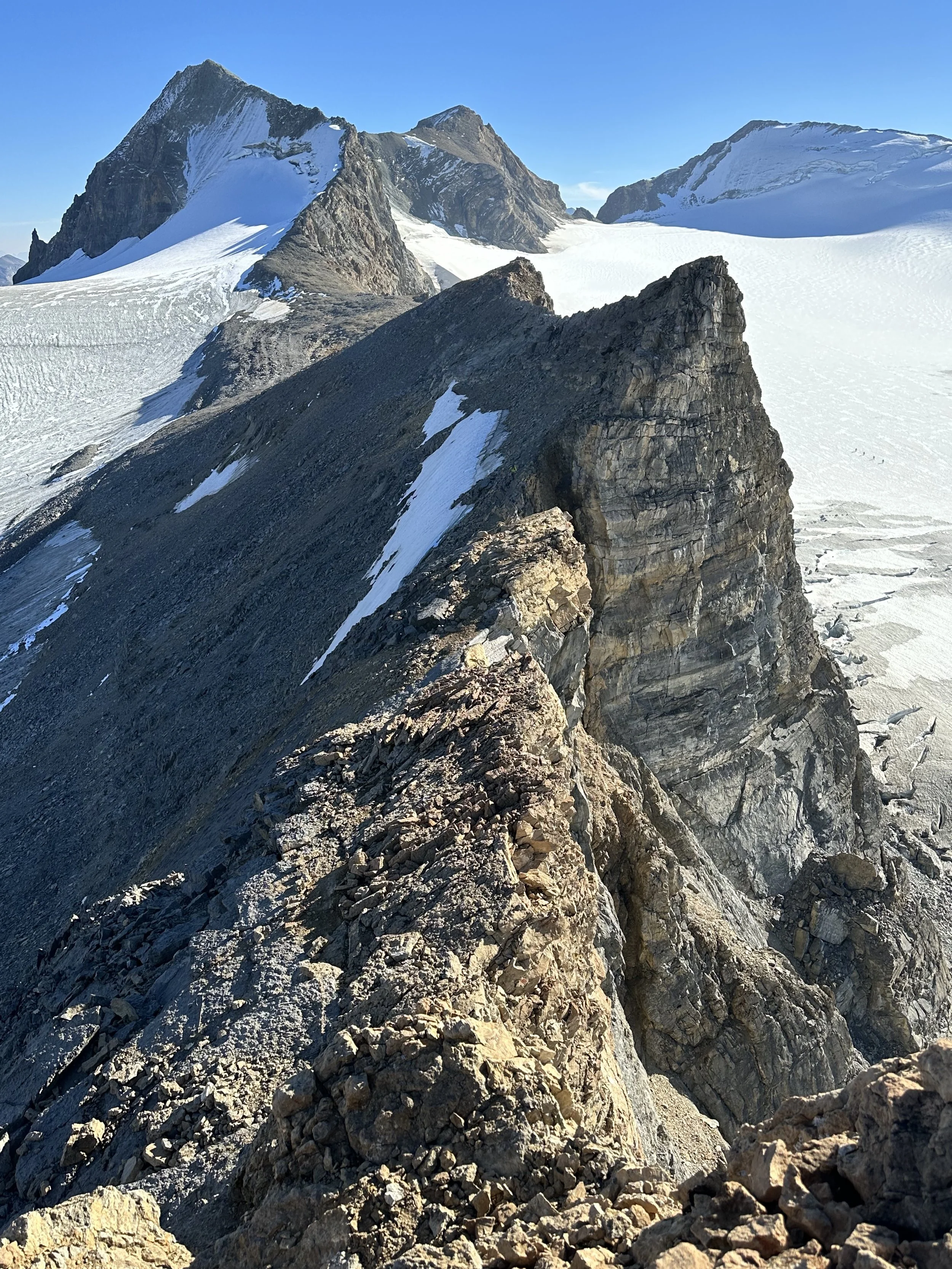
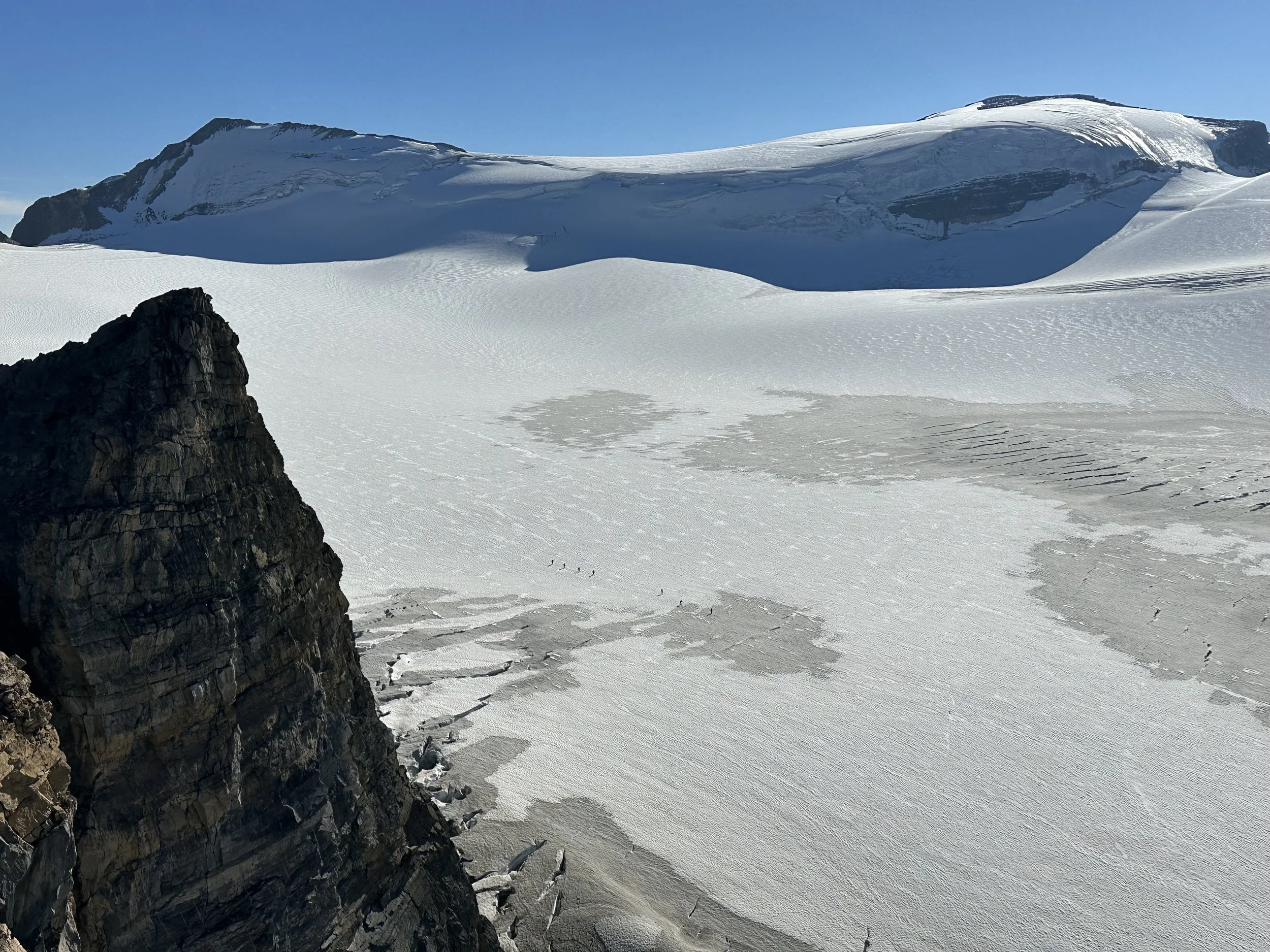
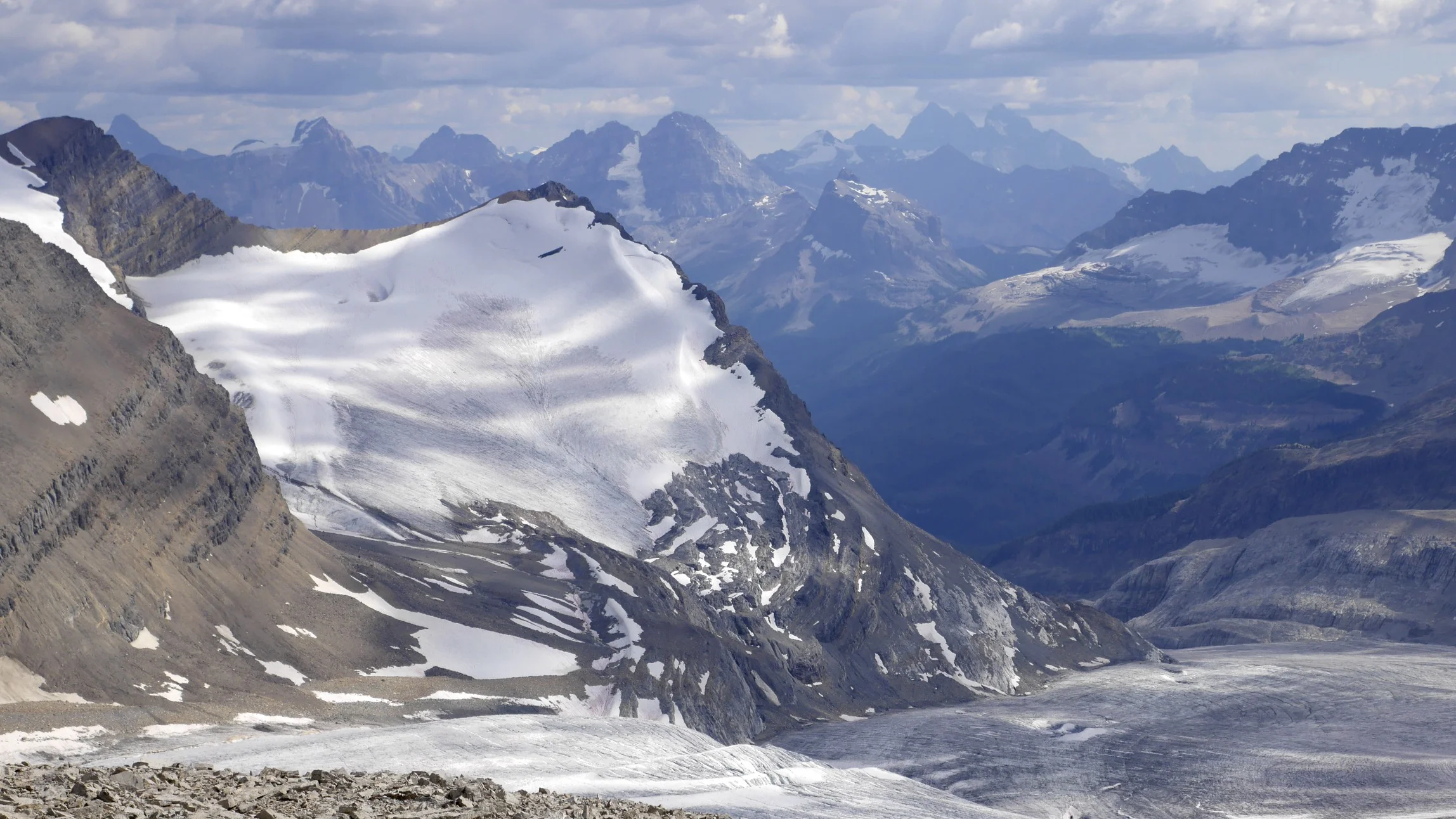
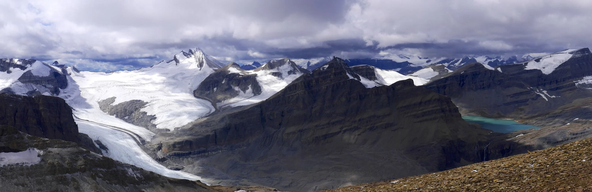
Wapta Icefield from Mt. Rhonda
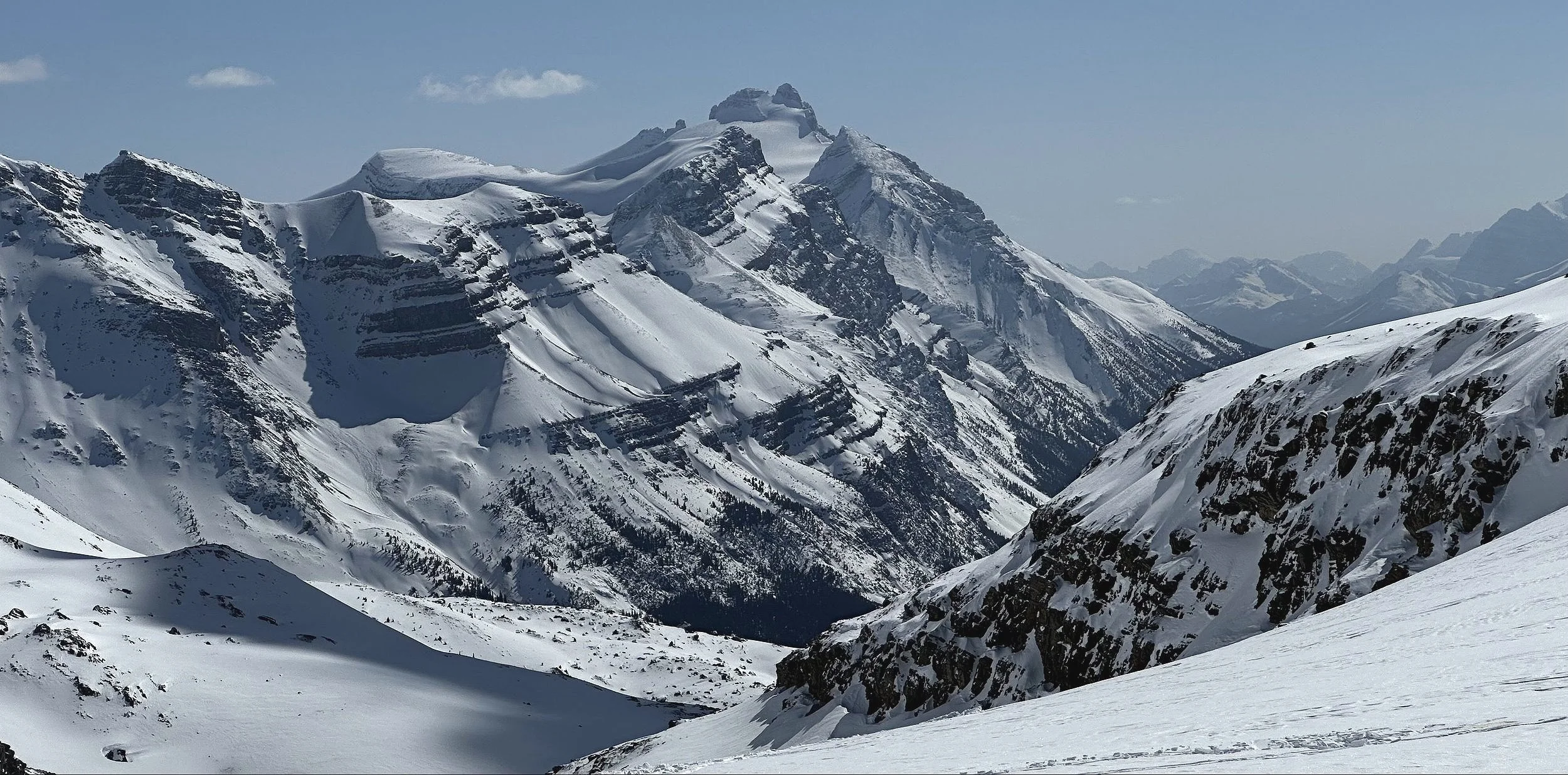
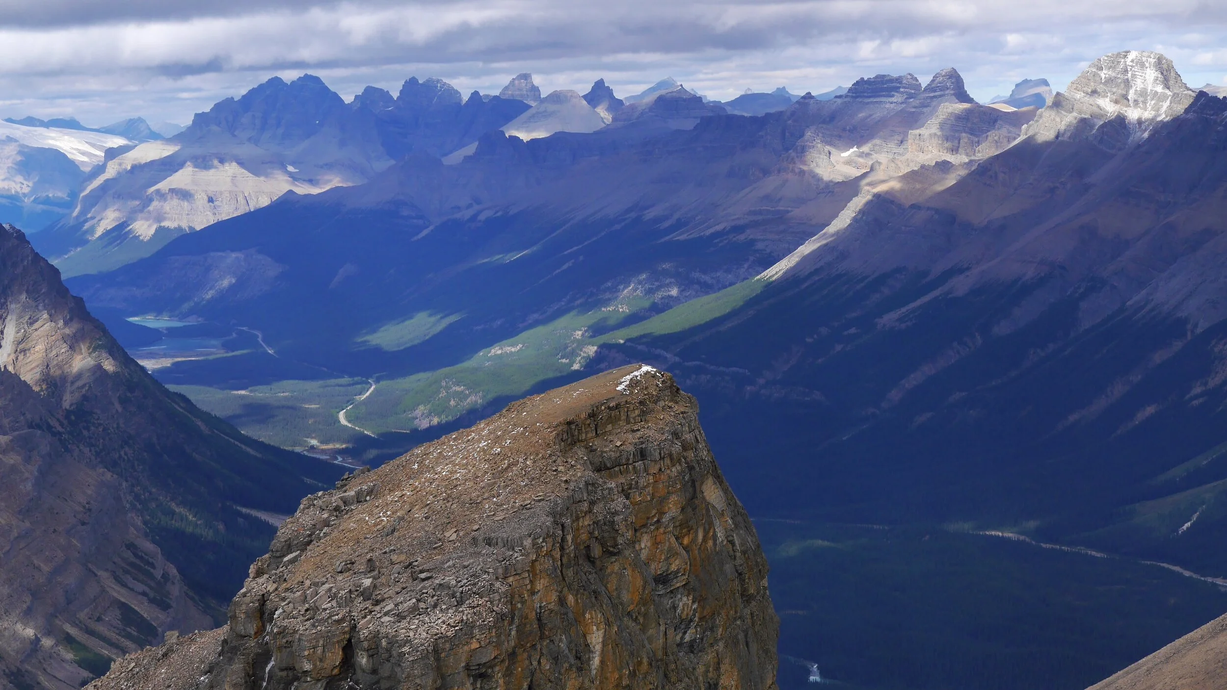
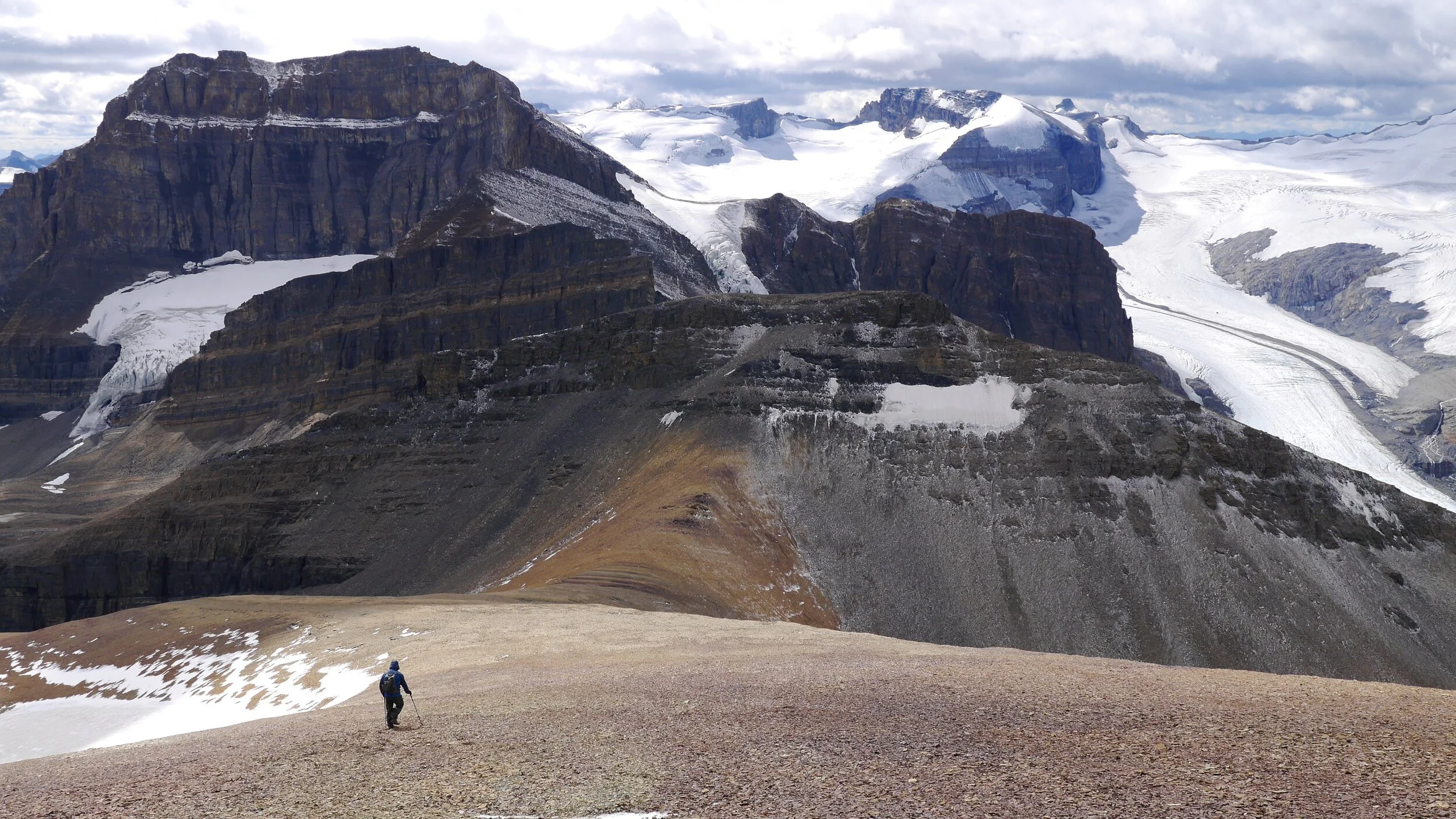
Mt. Collie and The Presidents on the left.
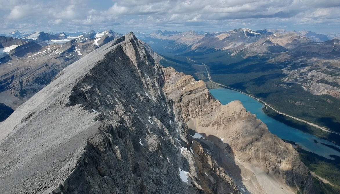
Mt. President and Vice President on the right and the Lake Louise group on the left. Yoho Glacier descends into the Yoho Valley.
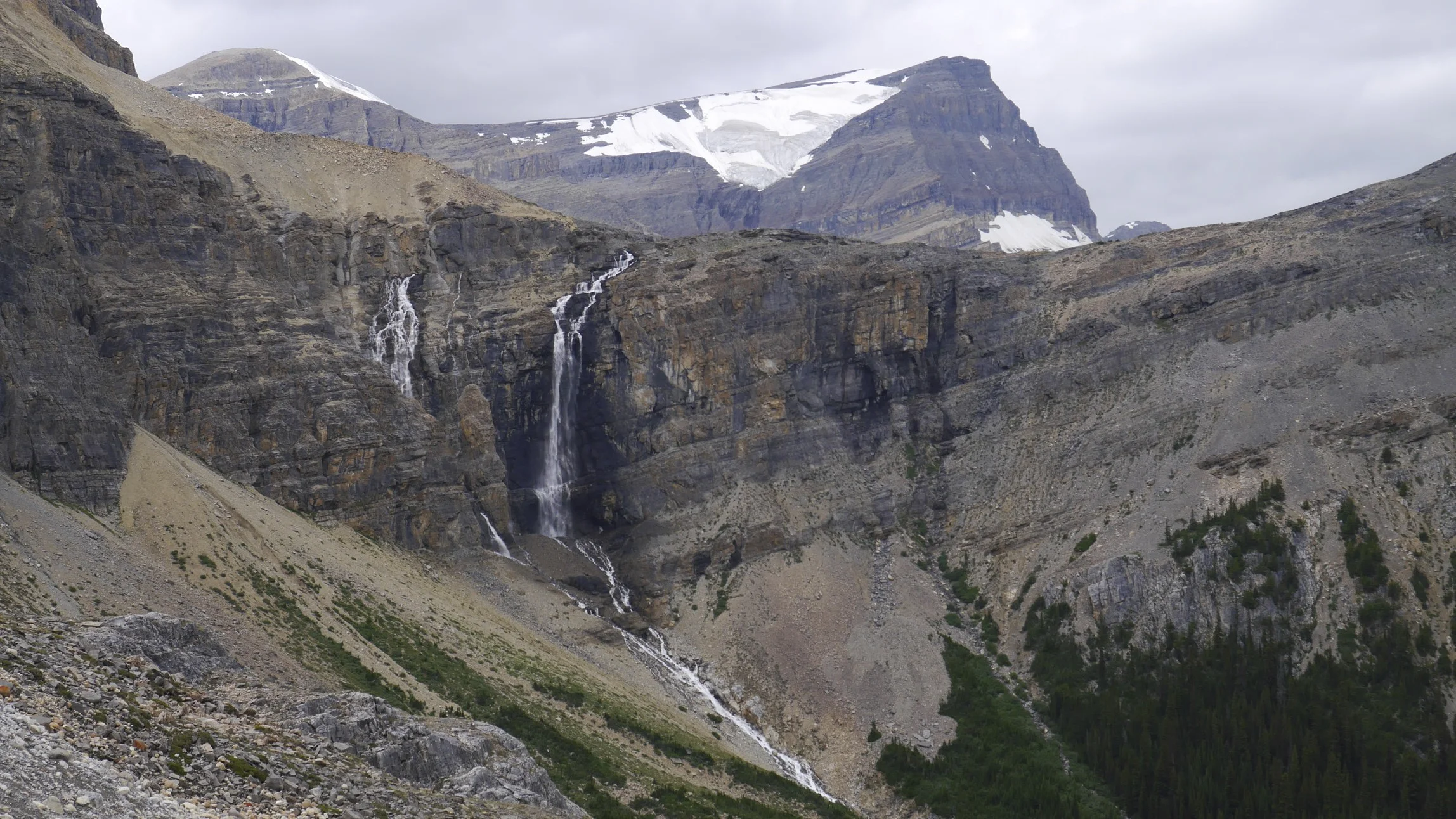
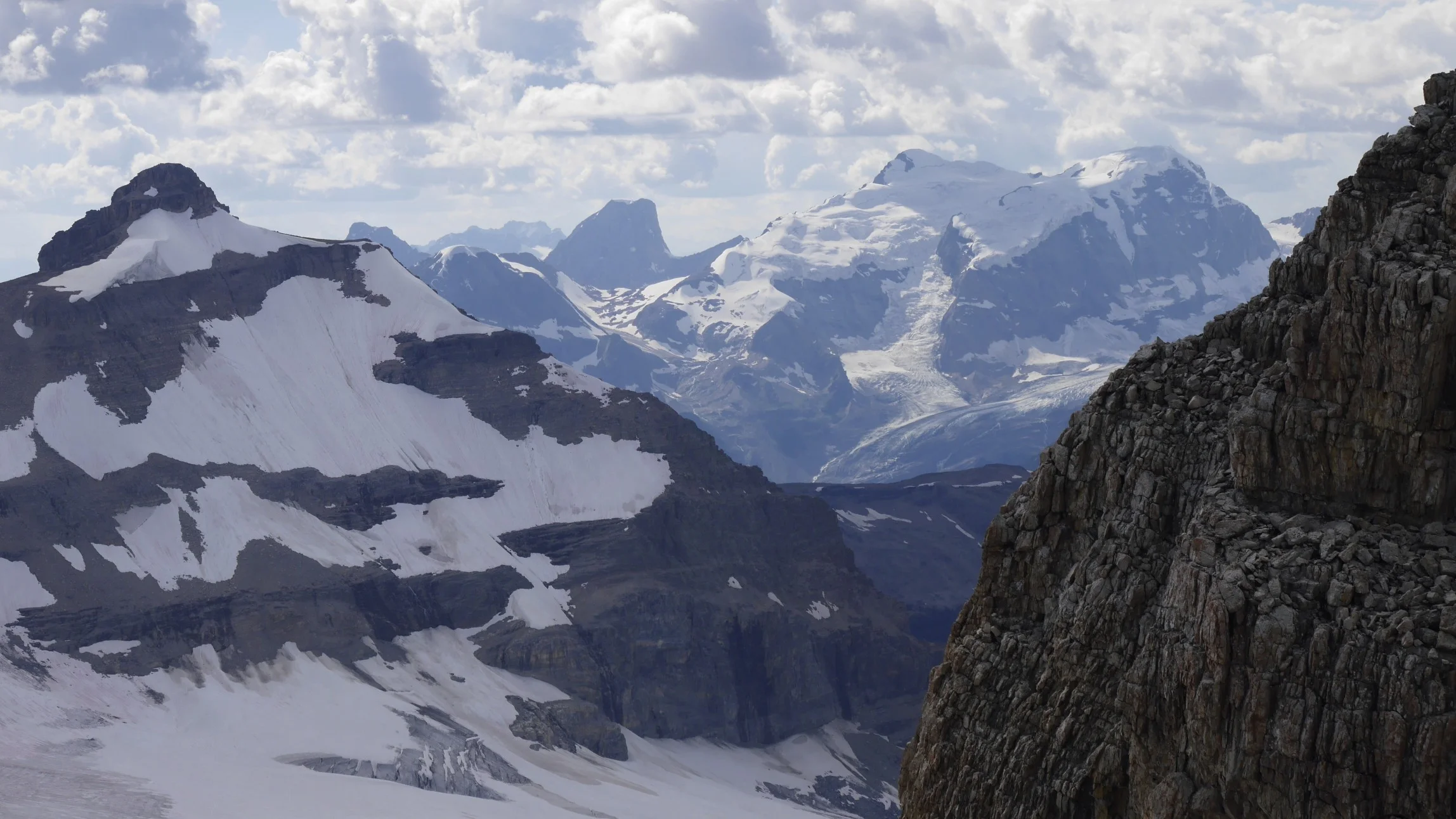
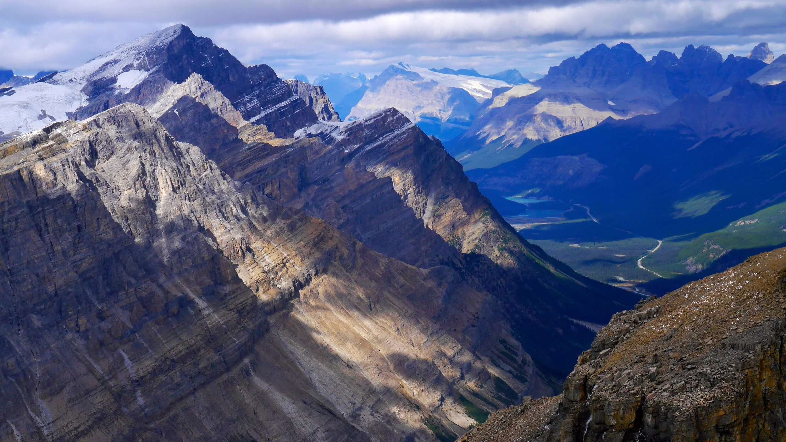
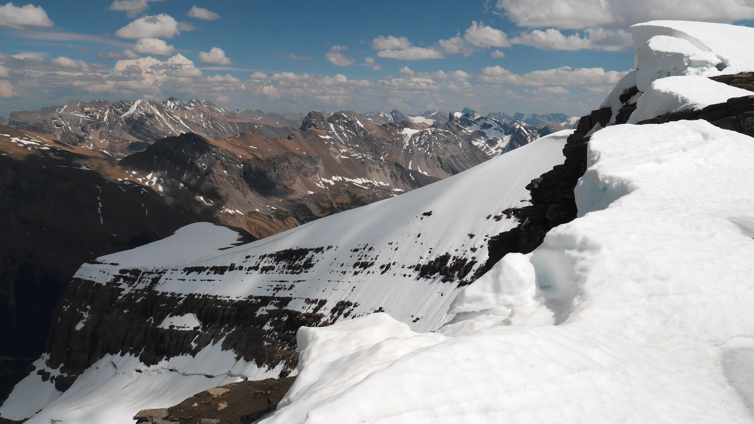
The mountains on the Freshfield Icefield from Mt. Rhonda
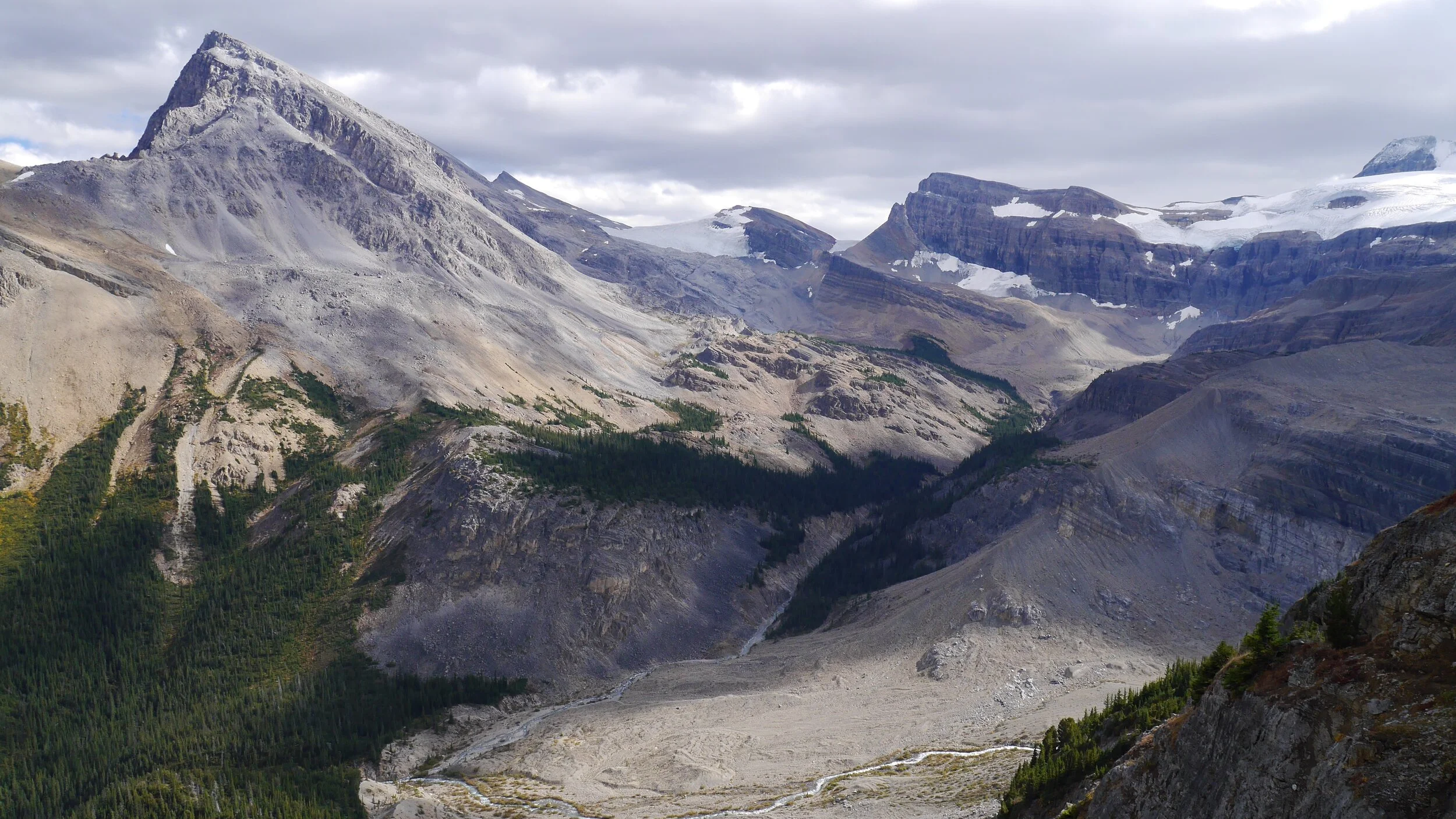
Mt. Gordon from Mt. Rhonda
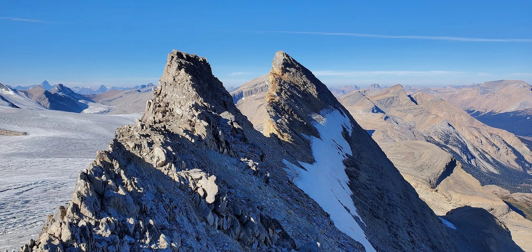
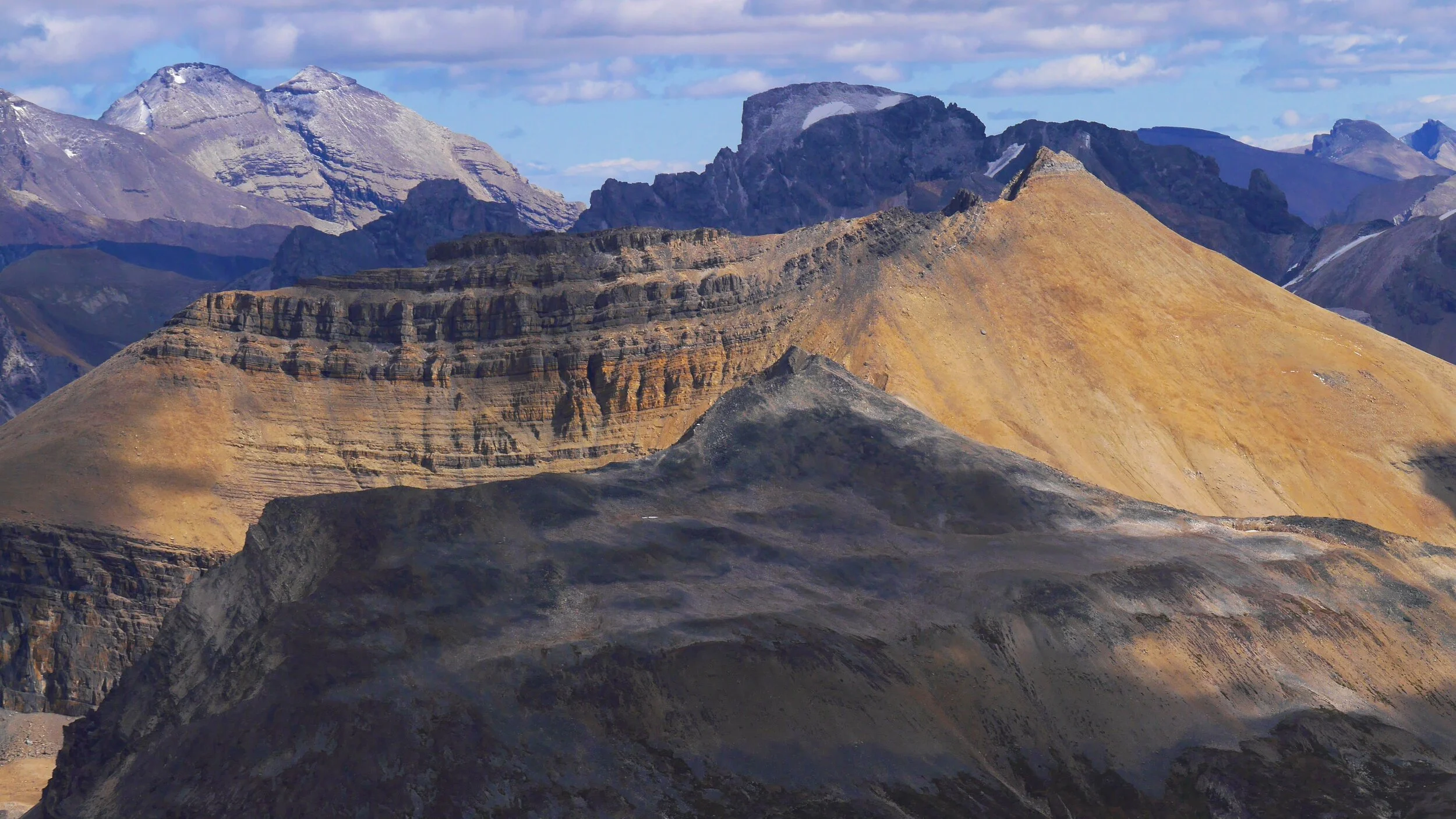
The closeup of the Presidents, Whaleback Ridge and the Isolated Peak
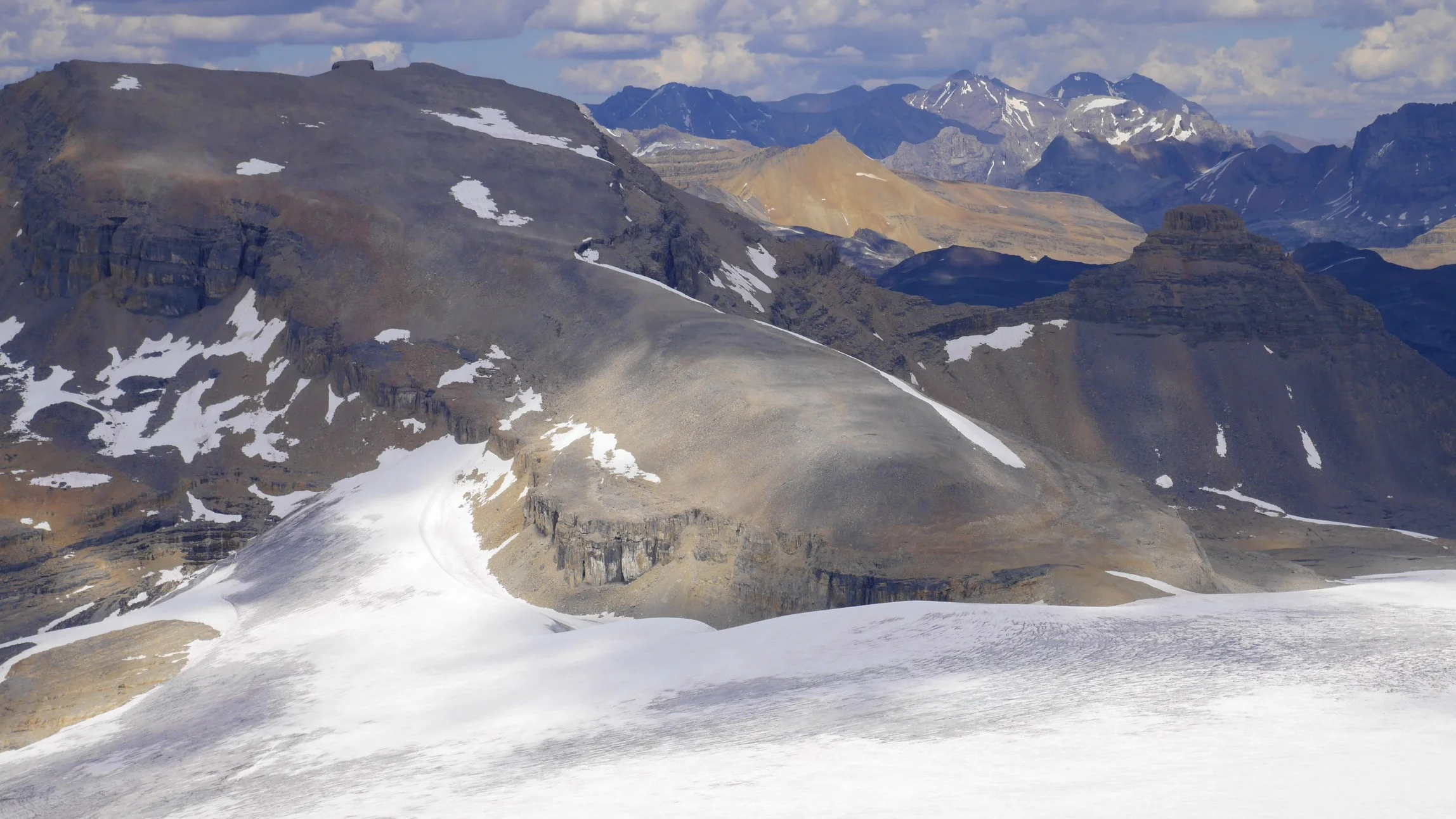
The Corwfoot Ridge is on the horizon.
The Peyto Glacier and Peyto Lake in the distance.
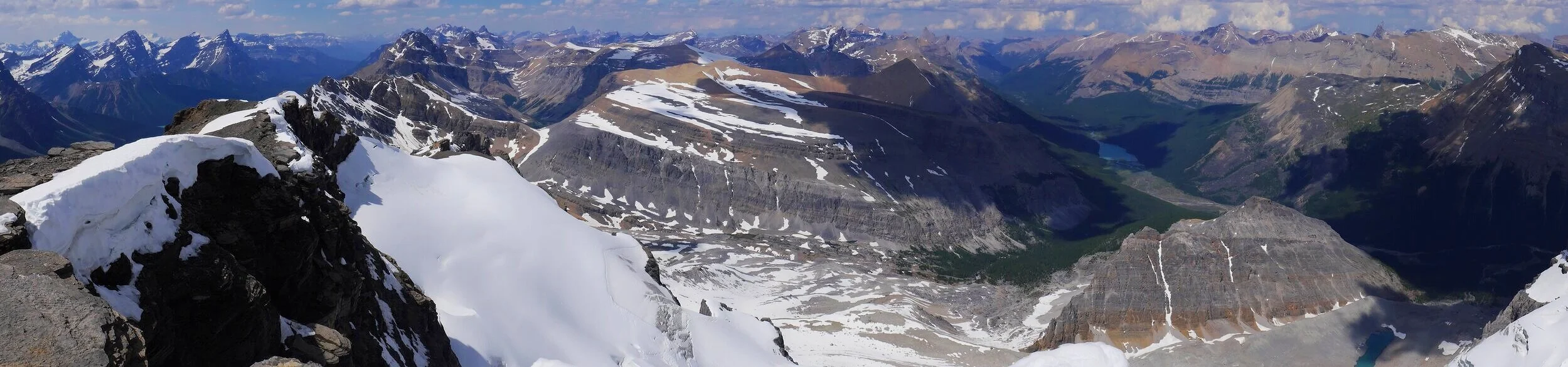
Summit Panorama from Mt. Jimmy Simpson
Peyto Glacier from Mt. Jimmy Simpson
Bow Lake and summit panorama from Mt. Jimmy Simpson
Mt. Jimmy Simpson 2,947m
Peyto Glacier from Mt. Jimmy Simpson
Bow Lake from Mt. Jimmy Simpson
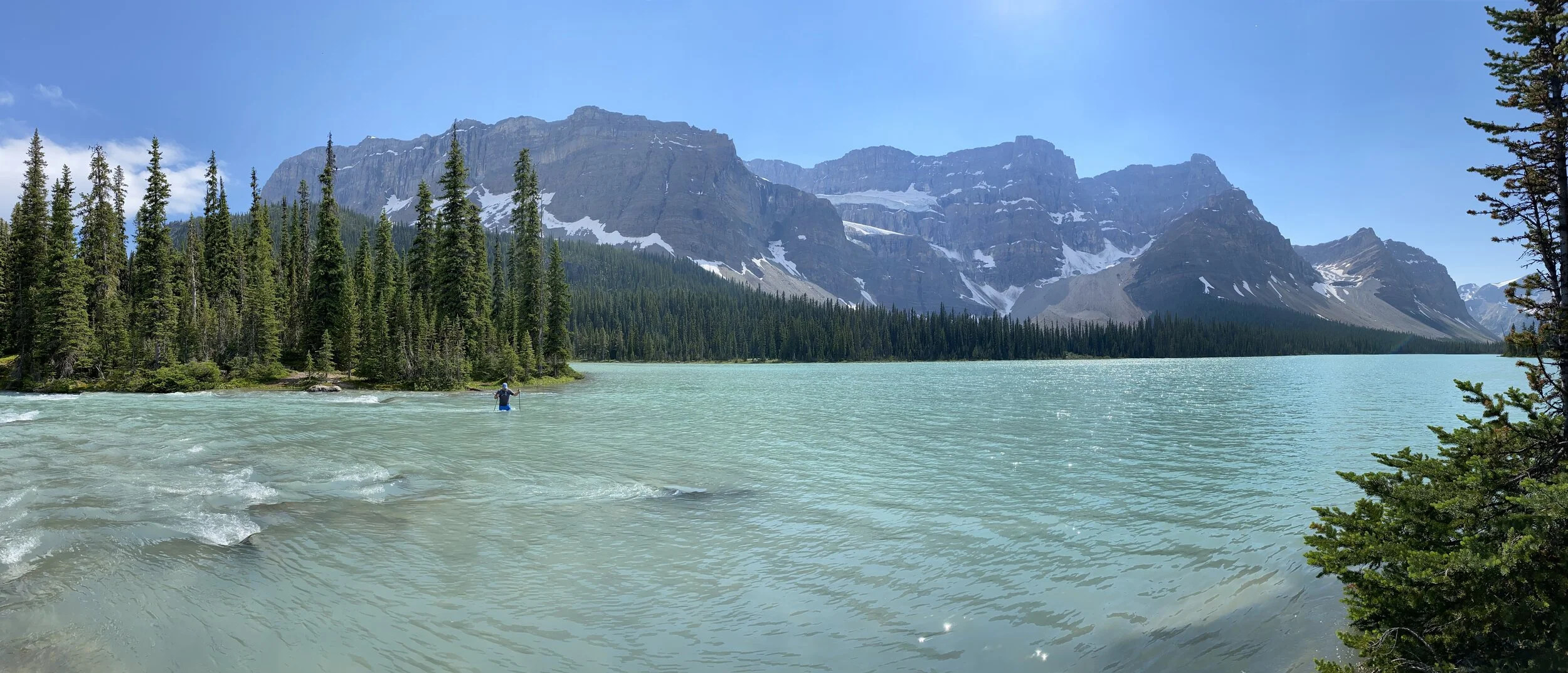
Bow Lake
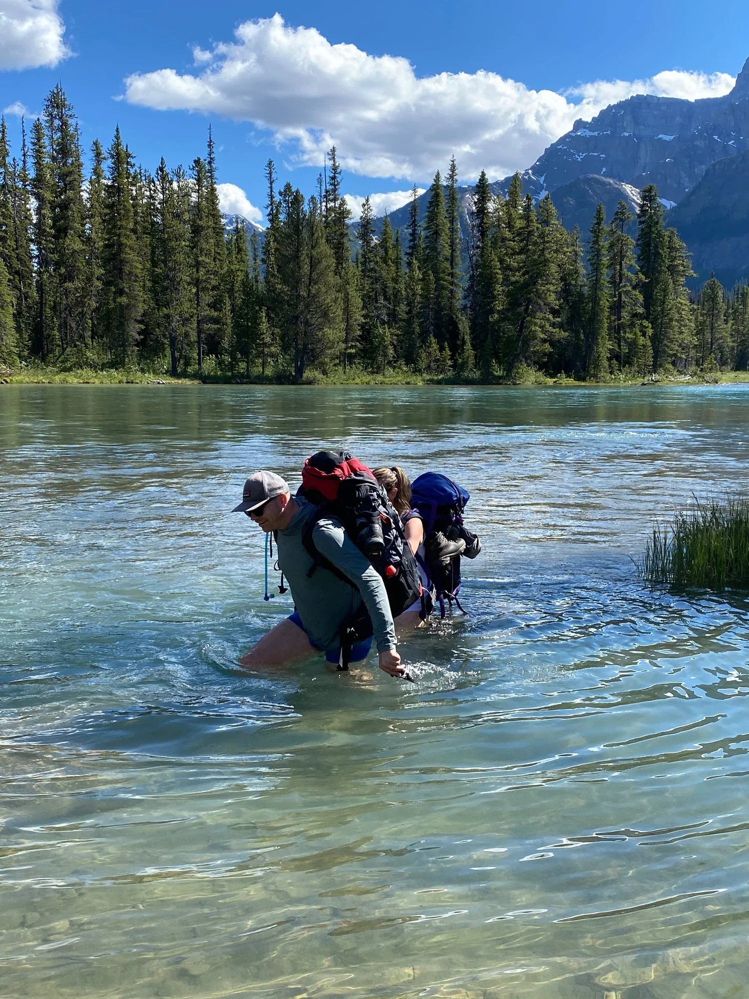
Crossing Bow River en route to Bow Peak
Early summer on Bow Peak
Bow Peak
Mt. Hector from Bow Peak
Hector Lake from Bow Peak
Mt. Balfour, Hector Lake and the Wapta Icefield from Bow Peak
The view of Bow Lake from Bow Peak
The panorama north from Bow Peak
The panorama from Bow Peak looking South towards the Wapata
Hector Lake from Little Hector Peak 3,124m, The large mountain is the Balforur Peak.
Lower slopes of Mt. Balfour and the Pulpit Peak from Mt. Hector. The Balfour Pass is above the Hector Lake.
Hector Lake
Bow Peak from Little Hector Peak 3,124m with Bow Lake beyond.
Looking east from Hector
Looking east from Hector
Bow Peak from Hector
Mt. Lefroy from Hector
Mt. Hector Glacier
Mt. Hector Glacier and Hector Peak
Mt. Hector from Little Hector
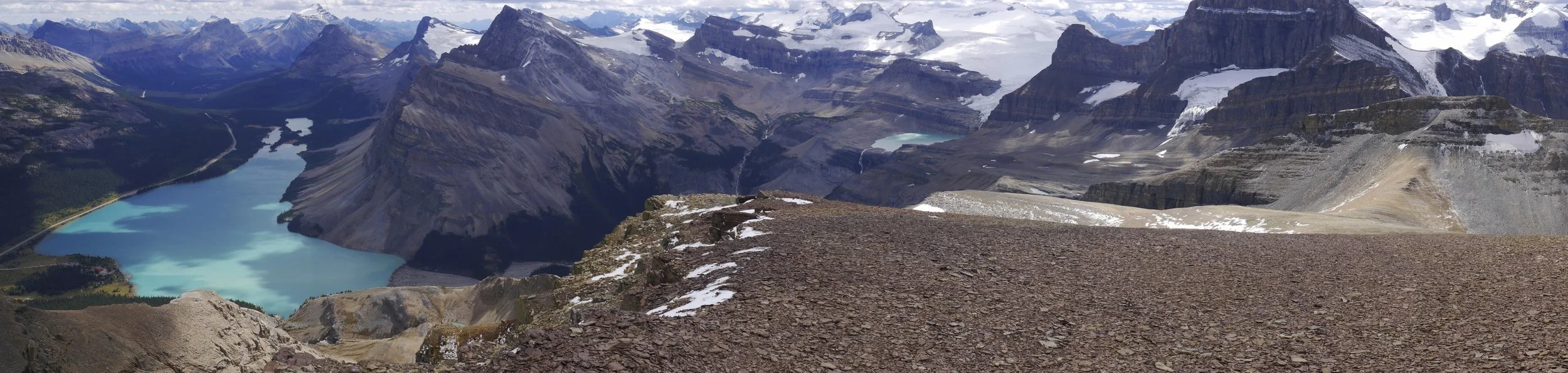
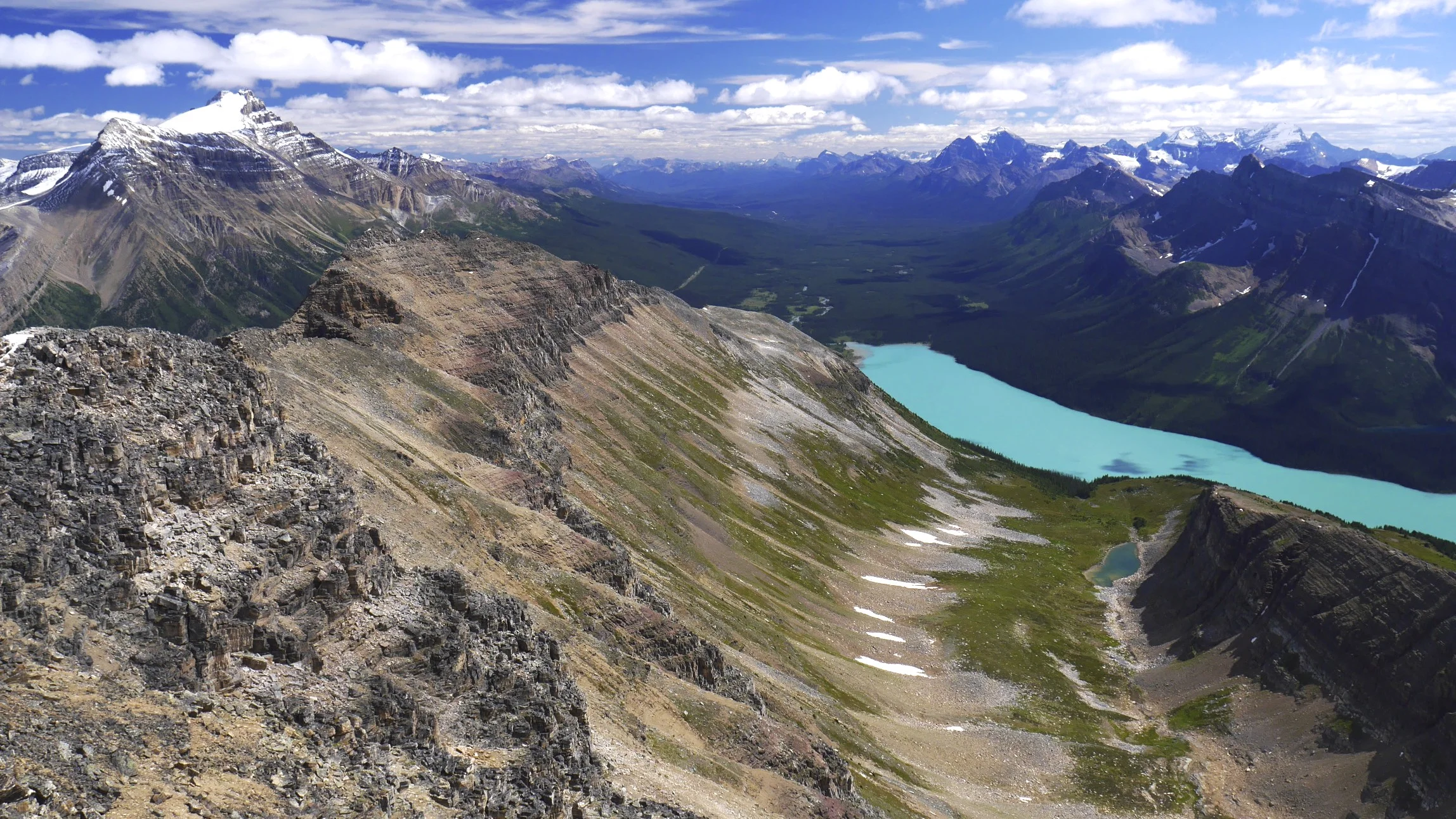
Hector Lake from Mt. Hector
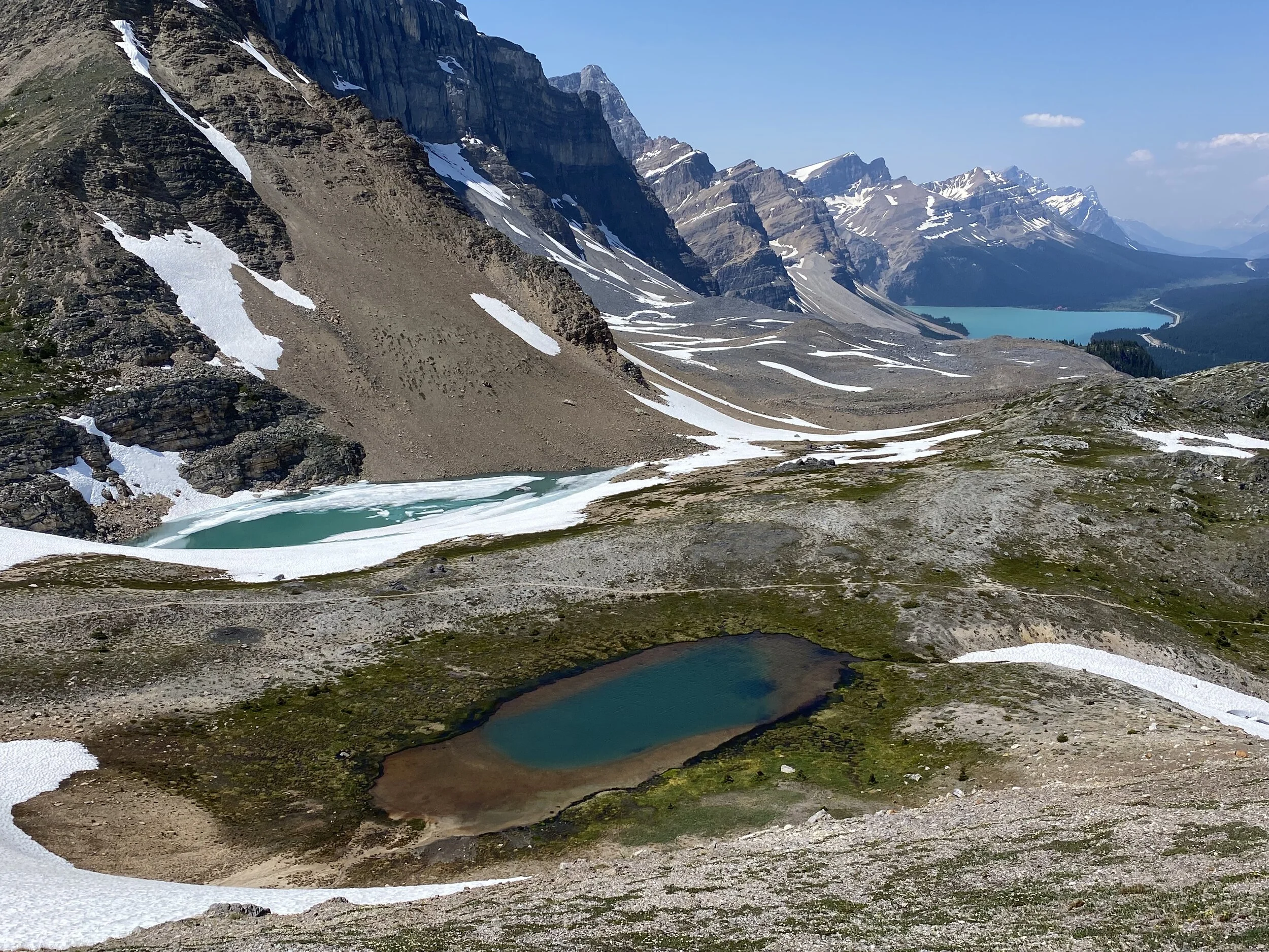
On Observation Peak
The view from the summit of Observation Peak 3,174m. Maramota Peak is to the left of the lake.
Summit panorama from the Observation Peak
Crowfoot Mountain and the Crowfoot Glacier with the Bow Lake from Observation Peak 3,174m
Mt. Hector from Observation Peak 3,174
Mt. Hector in the distance
Bow Peak from Observation Peak 3,174m. In the distance are the peaks of Lake Louise group with Mt. Temple towering above them all.
Bow Lake from the Observation Peak
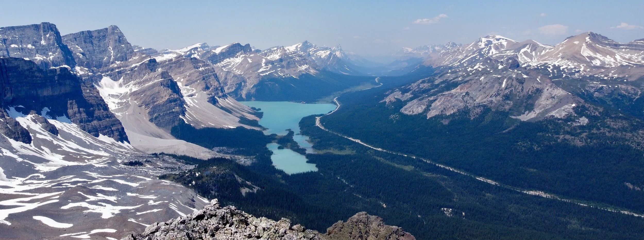
Bow Lake, Wapta Icefield and Mt. Rhonda from Cirque Peak 2,993m
Looking towards Peyto Lake from Cirque Peak 2,993m
Mt. Hector (in the distance) and Bow Peak (right) from Cirque Peak
Wapta Icefield from the Cirque Peak
Bow Lake and the Crowfoot Mountain
Bow Lake, the Crowfoot Glacier and Crowfoot Mountain
Mt. Balfour (left) and the Presidents in the distance
Wapta Icefield from Crowfoot Mountain
The Presidents in Yoho (far on the left), Mt. Gordon (right)
Bow Lake and Cirque Peak from Crowfoot Mountain
Bow Lake and Crowfoot Glacier
Crowfoot Mountain
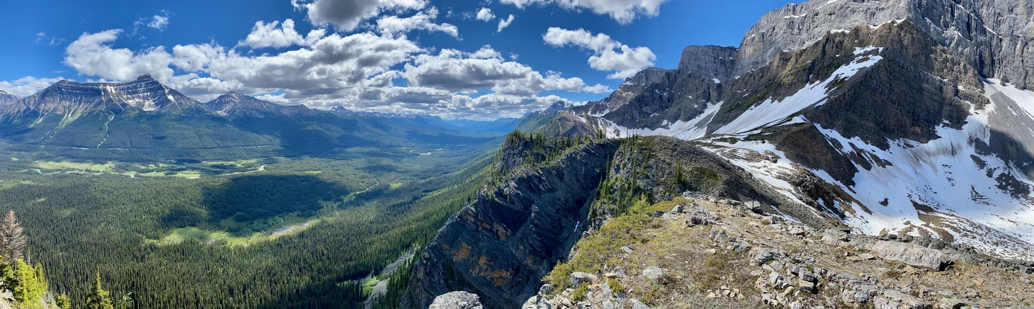
Looking north from the summit ridge of Crowfoot Mountain
Wapta Icefield from the Crowfoot Mountain
Crowfoot Mountain - view towards Bow Hut
Crossing the Bow River to get to the Pulpit Peak
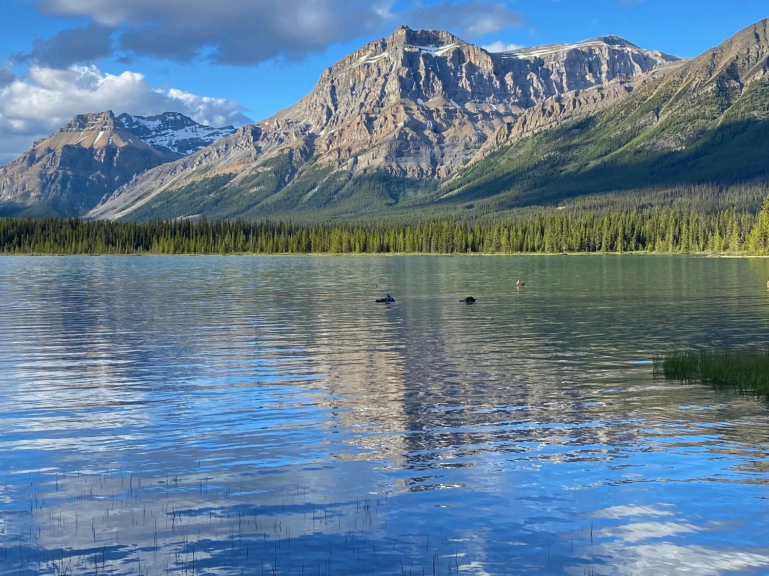
Hector Lake
Mt. Hector from the Pulpit Peak
View from the Pulpit Peak south-east
Pulpit Peak (left), Hector Lake and Mt. Hector
Pulpit Peak on the right
Join the discussion
Share thoughts, tips, or questions about this trip.
Please keep it kind and relevant.
All Trips and Adventures by Year
A chronological archive of trip reports, photo essays, and route notes across decades.
2026
2025
2024
- Mon - Bhutan
- Bhutan - Snowman Trek Part 1
- Bhutan - Snowman Trek Part 2
- Bhutan - Snowman Trek Part 3
- North of 60º - Polar Adventures
- East Greenland 66º North
- On the Trail of Teutonic Order Castles in Northern Poland
- Wolfsschanze Hitler's HQ, Ketrzyn Poland and Peenemunde WW2 V1/V2 Research Centre in North Germany
- Central Mexico - Mexico City, Puebla and Teotihuacan
- Venezuela - Orinoco River Delta
- Venezuela - Mount Roraima Trek 2810m
- Venezuela - Angel Falls
2023
2022
- Nepal Solukhumbu - Sumna Pass and Lobuche East trip summary
- Nepal Khumbu and Kangchendzonga from the Air
- Nepal Solukhumbu Sundar Peak 5000m and Sumna Pass 5400m
- Nepal Solukhumbu Chola Pass 5450m Lobuche East Ridge 6090m
- Renjola La 5360m Gokyo Ri 5450m, and Cho Oyu BC Photos
- Iceland - Hellismannaleid, Laugavegur and Fimmvorduhals Trails
- The Yukon and the Alaska Highway
- Mount Robson
- Yellowstone National Park
- Grand Teton and Glacier National Parks
2021
- The Rockies of Alberta, Western BC and the Yukon
- Columbia Icefield from the Air
- Waterton Lakes National Park
- Colombia
- Los Nevados National Park Colombia
- Colombia Tayrona National Park
- Colombia Teyuna - Ciudad Perdida Trek (The Lost City)
- Mexico Pico de Orizaba 5,630m
- Mexico - Sierra Negra 4,650m and Izaccihuatl 5,350m
- Chitwan National Park Nepal
2020
2019
- The Grand Mustang Circuit - Part 1: Chame to Kagbeni via Thorong La Pass
- The Grand Mustang Circuit - Part 2: Kagbeni to Lo Mantang
- The Grand Mustang Circuit - Part 3: Lo Mantang to TeriLa Pass
- The Grand Mustang Circuit - Part 4: Terila Pass to Chame via Naar and Kangla Pass
- Kamchatka Trip Report
- Камча́тка, Russia - The Mutnowski and Gorely Volcanoes
- Камча́тка, Russia - The Tolbachik Volcano Circuit and Volcano Bezimienny
- Russia Far East - Sakhalin, Vladivostok, Petropawlowsk-Kamchatsky
- Taiwan
- Ancohuma 6,427M Bolivia
- Huayna Potosi 6,088m Bolivia
- Ausangate Trek Peru
- Yellowstone National Park in Winter 2019
2018
- Calgary Mountain Film Festival
- Langtang, Tilman Pass and Ganjala Trip Report
- Langtang Trek - Tilman Pass
- Langtang Trek - Ganjala Pass
- Paria River Wilderness - USA, Utah
- Slot Canyons - USA, Arizona
- Bryce National Park - USA, Utah
- Zion National Park and Cedar Breaks - USA, Utah
- Norway
- Poland - The Slav and Viking Festival in Wolin
- Iceland
- Bolivia Cordillera Real and Sajama National Park
- Bolivia - Tiwanaku and La Paz
- Togo and Benin
- Benin - Egungun Masquerade
- Benin - Voodoo Festival
- Ghana - The Gold Coast and the Land of the Ashanti
2017
- Annapurna Basecamp and Annapurna Sanctuary Photos
- Annapurna Sanctuary Trip Summary
- Dhaulagiri Basecamp Trek, Dhampus Pass - Trip Summary
- Dhaulagiri Circuit Photos - Nepal
- Peru Central - Huaraz, Cordillera Blanca and Chavin de Hauntar
- Peru South, Sacred Valley - the Land of the Incas, Rainbow Mountain and Lima
- Mt. Brazeau and Maligne Lake in Jasper National Park in Alberta, Canada
- China Shanghai Beijing Wuhan
- Papua New Guinea
2016
- China Far West - Kashgar and Shiphton Arch
- China Far West - Pamir and The Tajik Games
- K2 Basecamp North, Shaksgam Valley Trip Summary
- Chinese K2 (BC North), Shaksgam Valley - Chinese Karakoram
- North Peru Chachapoyas Trip Report
- Peru North - Kuelap, Chachapoyas and Royal Tombs of Sipan
- Wapta Icefiled Area, Alberta, Canada
- The Caribbean and the Panama Canal
- China Far West - Ancient Silk Road Trip Summary
- China Far West - Ancient Silk Road
2015
2014
2013
2012
2011
2010
2009
2008
2007
2006
2004
2002
2001
1996
Get new trip reports when they land
One email when a new story is published. No noise. Just the trail.